Burghalder: A Former Hilltop Castle in Germany
Site at a Glance
- Rating
- 4.8
- Popularity
- Very Low
- Country
- Germany
- Primary era
- Medieval
- Eras represented
- Medieval
- Civilizations
- Holy Roman Empire
- Site type
- Military
- Remains
- Castle
On this page7 sections
History
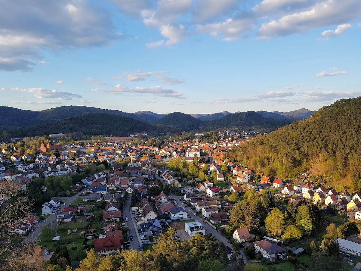
Burghalder is a former hilltop castle in Germany, located near Hauenstein on the Burghalder rock. Its masonry and defensive form suggest construction in the tenth or eleventh century, while pottery indicates that the castle was in use during the twelfth century. The site’s precise date remains uncertain because no historical evidence for the castle has been identified.
Uncertain origins
Burghalder was once thought to have been built in the ninth or tenth century as a late Carolingian refuge castle. The Carolingian period was the era when the dynasty of Charlemagne ruled much of western and central Europe. This interpretation remains unproven, and the castle’s existence cannot be securely placed within that earlier period.
The castle was discovered archaeologically during excavations in 1972. Yellow wheel-thrown ceramic sherds from the neck ditch, a defensive ditch cut across a narrow approach, place the site’s use in the twelfth century. A castle chapel is considered possible, and a medieval symbolic stone beside the nave of the Catholic Church of St. Bartholomew has been attributed to the former castle.
Remains
Rock setting and layout
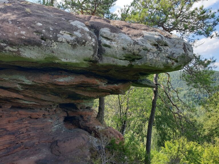
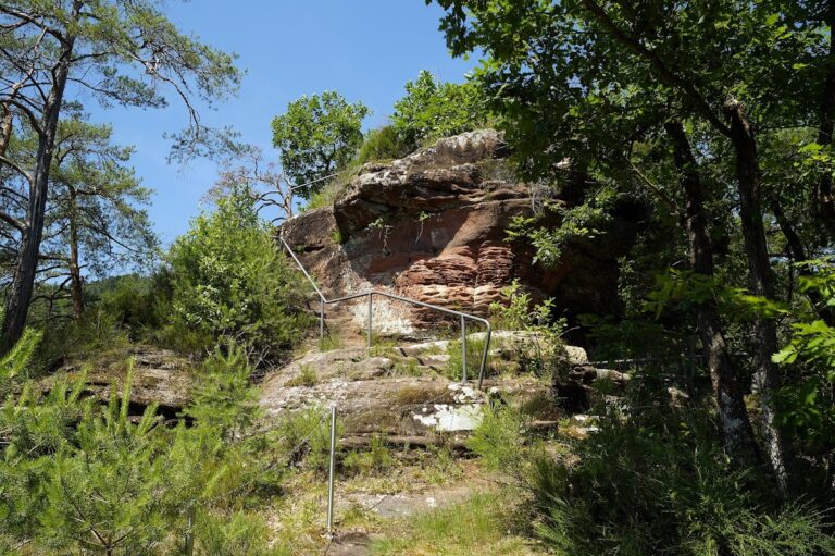
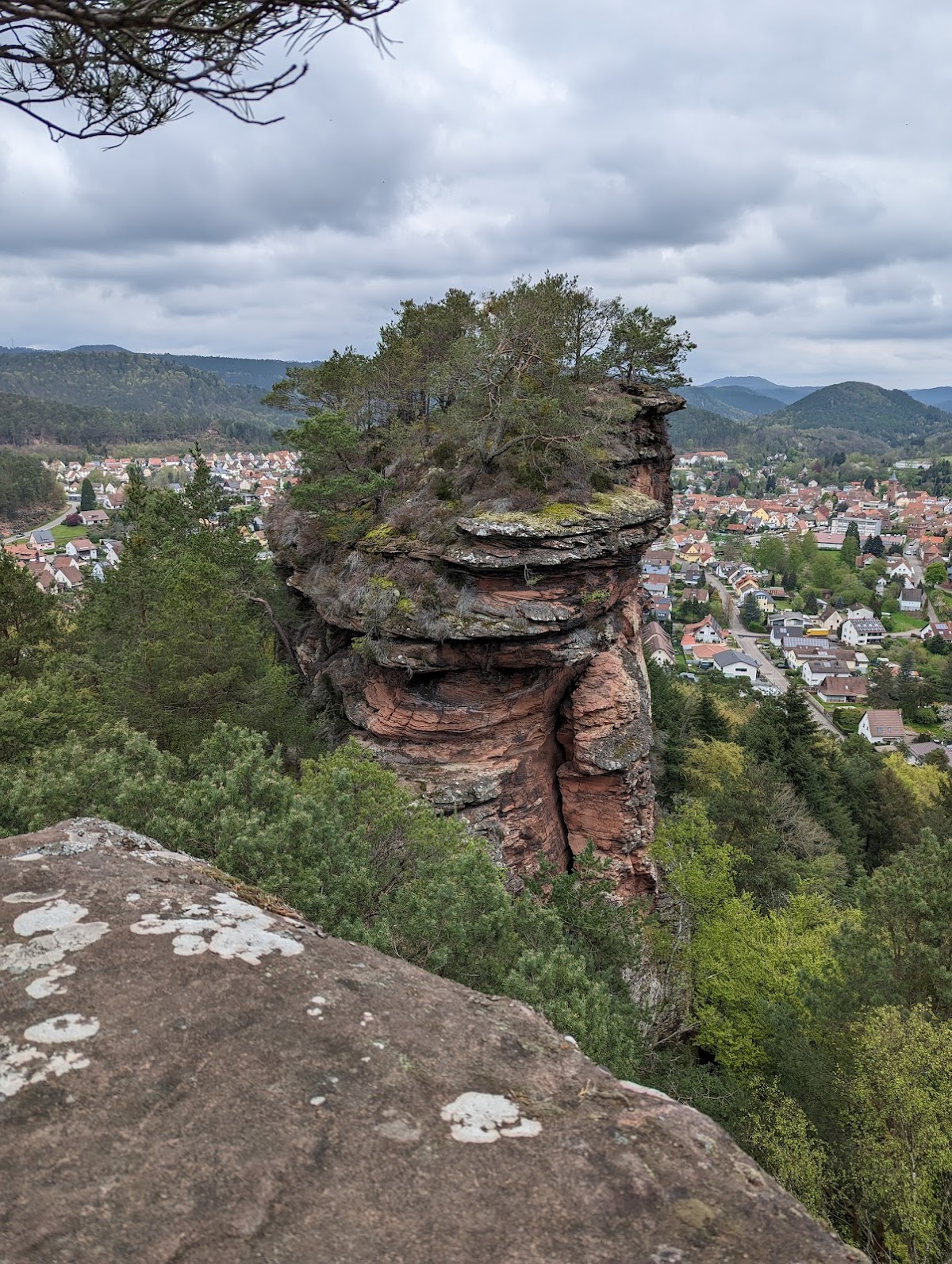
Burghalder occupies the rear section of a prominent rock formation approximately 300 metres long, at about 370 metres above sea level. The rock forms the northern end of a ridge extending roughly two kilometres southward from Hoher Kopf through Benz before descending steeply toward Hauenstein. The Queich valley, also called Stephanstal, bounds the ridge to the west, while the Gillenbach valley lies to the east.
Fortified area
Defensive works
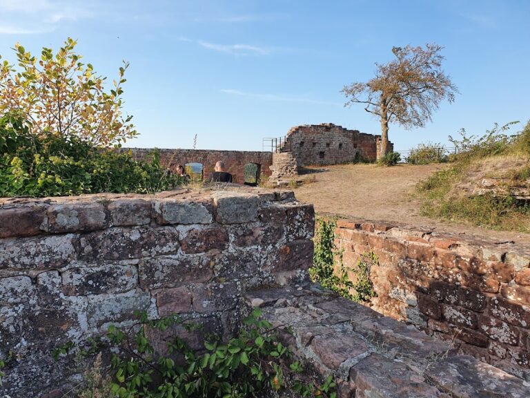
The fortified area measured approximately 30 metres in length and 10 metres in width. A neck ditch survives at the site, together with barely recognizable wall remains. Excavated sections of the walls were made from roughly dressed stone blocks set in mortar, providing the main physical evidence for the castle’s construction.
Entrance and commemorative marker
Access appears to have been from the south, where a gateway is presumed. On the upper part of the rock, Ritterstein 219 marks and commemorates the former castle site. A Ritterstein is a commemorative stone used in the Palatinate Forest to identify historically or geographically notable places.