Castellum of Anhausen: A Roman Frontier Fort in Germany
Site at a Glance
- Popularity
- Low
- Country
- Germany
- Primary era
- Classical
- Eras represented
- Classical
- Civilizations
- Roman
- Site type
- Military
- Remains
- Fort
On this page8 sections
History
Construction and frontier role
The Castellum of Anhausen was a Roman fort on the Upper Germanic Limes, part of Rome’s frontier system in what is now Germany, near Neuwied. It was probably established during the frontier’s expansion under Domitian (AD 81–96), or no later than the reign of Trajan (AD 98–117). It guarded a pass where several roads crossed the frontier. Its garrison probably comprised detachments from nearby auxiliary forts, which housed Roman troops serving outside the legions.
Abandonment
The fort was abandoned during the Germanic offensives of AD 259–260. This was part of the fall of the Limes, the abandonment of the Roman frontier in the region amid third-century Germanic incursions.
Archaeological investigation and protection
Heinrich Jacobi first investigated and described the site in 1893. The Reichs-Limeskommission, the body responsible for systematic study of Germany’s Roman frontier, excavated it in August 1898 and January 1899 to investigate its building history. The commission initially considered the larger and smaller forts contemporary. Dietwulf Baatz later argued that the smaller fort had been added within the southwest corner of the larger one, an interpretation confirmed by excavation in 2008. The site became part of the Upper Germanic-Raetian Limes UNESCO World Heritage property in 2005 and is also protected as a cultural monument under Rhineland-Palatinate law. In 2008, it was re-examined in connection with UNESCO protection.
Remains
Setting and layout
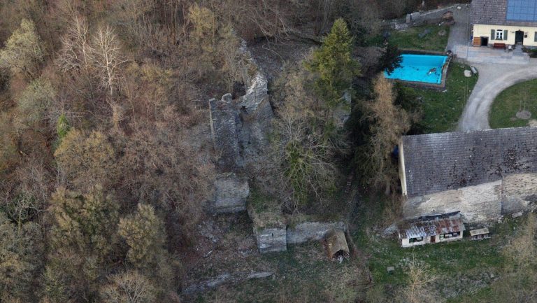
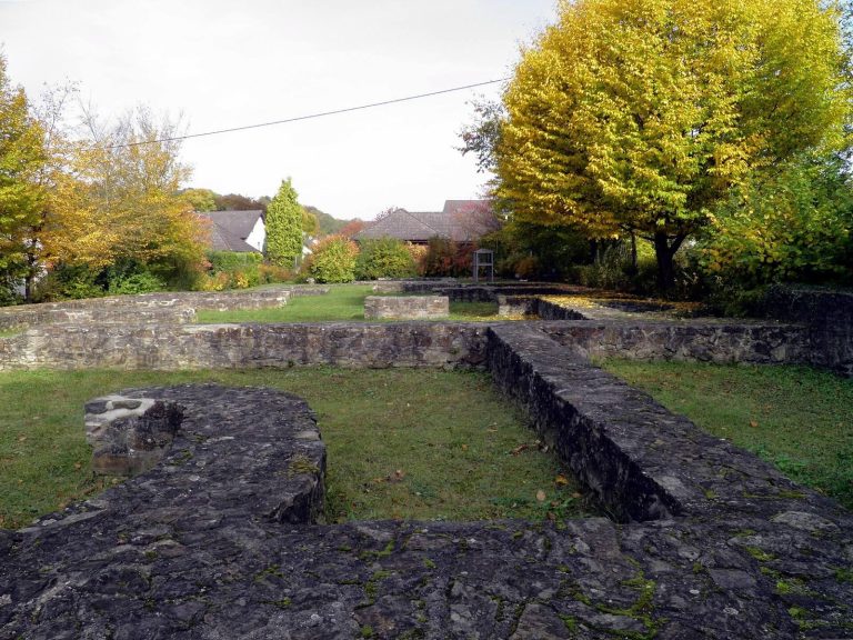
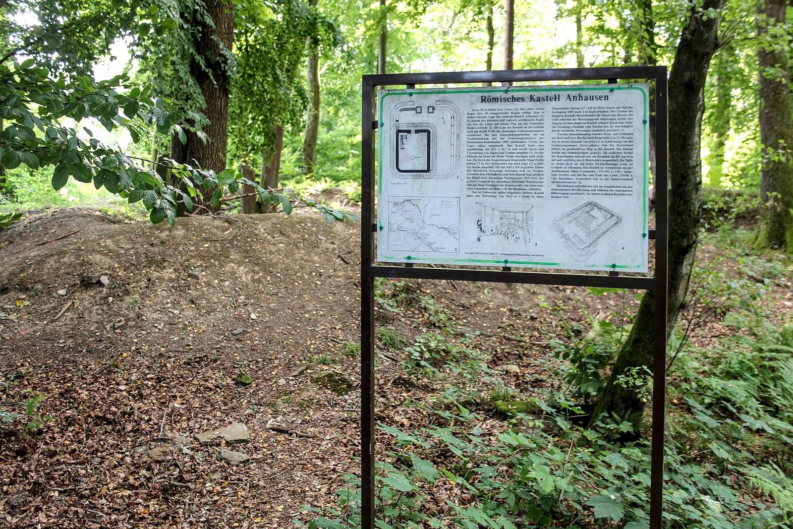
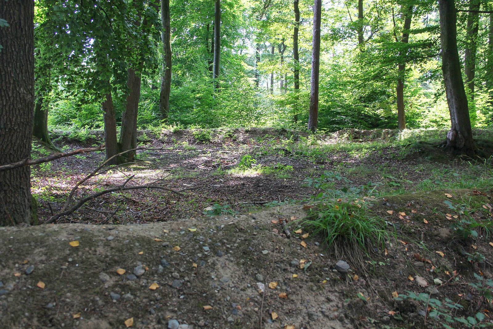
The remains lie in woodland southwest of Anhausen, between Gladbacher and Heimbacher woods, at about 356 metres above sea level. The site is east of the pass followed by the present-day L258 between Gladbach and Neuwied. At this point, the Limes reaches the northernmost and highest position on its arc around the Neuwied Basin. Irregularities in the ground mark the archaeological remains. The layout comprises a larger stone-built fort and a smaller enclosure occupying its southwest part.
Larger fort
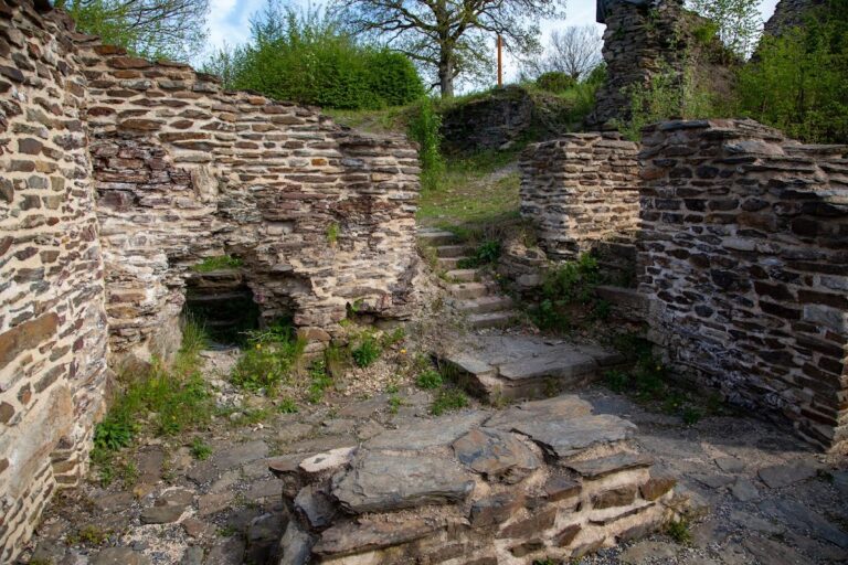
The larger fort measured 43.20 by 39.30 metres and covered about 0.17 hectares. Its stone defensive wall was 1.72 to 1.80 metres thick, with rounded corners. A single gate faced north toward the Limes and was flanked by two projecting towers. A V-shaped ditch formed an outer obstacle. Traces of barracks were found mainly in the northwest of the interior, where most buildings were probably made of wood.
Smaller fort
The smaller fort measured 28.70 by 23.60 metres and covered just under 0.07 hectares. It incorporated parts of the larger fort’s west and south walls. Its north-facing gate had recessed sides rather than flanking towers, and its newly built north and east walls were 2.05 to 2.10 metres thick. A separate ditch cut through walls of the larger fort; walls not reused in the smaller enclosure were demolished, and rubble from the larger fort was used to fill its ditch. A well in the southern part of the smaller fort was excavated and yielded finds. Other finds from the site include a sestertius, a Roman coin tentatively attributed to Emperor Commodus, and a denarius, another Roman coin, from the reign of Emperor Severus Alexander.