Altwied Castle: Ancestral Seat of the Counts of Wied in Germany


Site at a Glance
- Rating
- 4.3
- Popularity
- Very Low
- Country
- Germany
- Primary era
- Medieval
- Eras represented
- Medieval, Early Modern
- Civilizations
- Holy Roman Empire
- Site type
- Military
- Remains
- Castle
On this page11 sections
History
Altwied Castle is a medieval hilltop castle in Vorderweidenthal, Germany, built by the Counts of Wied as their ancestral seat and the center of their lordship in the lower Wied valley. Its principal development took place during the twelfth and thirteenth centuries, when a fortified residence and settlement grew into a connected defensive complex.
Origins and medieval expansion
The oldest known part of the castle was a residential tower in its eastern section. Metfried, also called Meffried, Count in the Engersgau, had it built before 1129. In that year he was first styled “Meffridus de Widhe.” His ancestry remains uncertain. Family names have been associated with the southern Eifel west of the Rhine, while another interpretation connects him with the Counts of the Engersgau.
The first major construction phase was completed in 1179 under Count Theoderich, Metfried’s grandson. The castle chapel, dedicated to Saint George, appears in written evidence from 1259. The settlement below the castle was first mentioned in 1275, in a letter thanking the countess of the time, and its construction is therefore thought to have begun after the castle itself.
During the thirteenth and fourteenth centuries, the castle and settlement were enclosed within a coordinated defensive system. Three gates provided access: the Porz, or main gate, the Judentor, and the Mühlentor. A second chapel stood in the settlement and was sometimes used for burials of members of the ruling family.
Courts and administration
Altwied had become a seat of authority by the fifteenth century. In 1404 it was identified as the seat of the “Hohen Veste uf den stoelen,” a high court. A separate court dealt with the peace of the castle and the Altwied parish. From 1480, the site also served as an administrative center.
The settlement possessed certain urban privileges and formed part of the fortified castle precinct. Its isolated position and difficult transport connections, however, limited its wider regional importance. The castle and settlement remained a local center of lordship rather than developing into a major regional town.
Relocation of the residence
By the beginning of the seventeenth century, the castle and its defensive walls were deteriorating. In 1622, Hermann zu Wied financed a new extension on the steep northern side with money provided by his wife, Magdalene. Called the Frauenhaus, it became Magdalene’s residence after she was widowed, from 1633 to 1657. It remained habitable longer than most of the castle but fell into disrepair around 1800.
Altwied was not fought over, conquered, or destroyed during its existence. Its remote location, gradual decay, and inability to meet the military and economic demands of the early modern period encouraged Count Friedrich III to establish residences nearer the Rhine. He began Friedrichstein Castle at present-day Fahr in 1648 and built a small fortress at Langendorf called Neuenwied.
After receiving an imperial privilege in 1653 to establish an urban settlement, Friedrich transferred the residence from Altwied to Neuwied. The administration and courts moved to Heddesdorf. The name Altwied came into use after the foundation of Neuwied, while Niederwied, the earlier name recorded in 1301, had also been followed by Grafenwied. Niederaltwied and Oberaltwied remained in use during the nineteenth century and until 1930.
Count Georg Herman Reinhard, Friedrich’s eldest son, was the last member of the comital family to live at Altwied. He stayed there with his family until 1690. The abandoned castle then decayed, and around 1760 it was reportedly used as a source of stone for Schloss Monrepos. On 29 May 1784, Johann Friedrich Alexander, Count of Wied-Neuwied, received the hereditary title of prince.
Restoration and preservation
Around 1880, the Wied family restored several rooms and one of the smaller towers. The restored ruins were occasionally used for festivities with illumination. Local efforts to care for the site began in 1927 under the Heimatbund Altwied. Proposals made between 1926 and 1929 to convert the ruins into a youth hostel were not implemented, probably for financial reasons. In 1929, the Düsseldorf architect Ernst Stahl prepared six plans for adapting the Staufen-period building on the eastern side while preserving the silhouette of the ruins.
The Heimatverein Altwied was founded in 1980 and has since been responsible for the preservation and maintenance of the ruins. The castle remains owned by the Wied family and is designated as a historic monument.
Remains
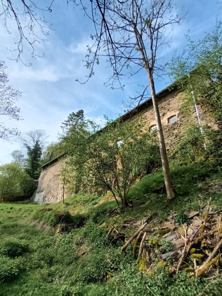
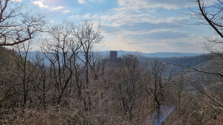
Altwied is a shield-wall and section castle on a narrow rocky ridge projecting into the confined Wied valley. The Wied curves around the site on three sides, while the ground falls steeply toward the river to the north and northeast. The settlement occupies the southern lowland between the castle hill and the river. The ruins stand about 25 metres above the valley floor, at approximately 100 metres above sea level, although higher hills surround them.
Castle enclosure
The castle and settlement formed one defensive unit. The main castle developed chiefly during the twelfth and thirteenth centuries, and several successive defensive rings were added around it. The steep northern side required fewer artificial defenses. The outermost ring, probably from the fourteenth century, enclosed the settlement as well as the castle and gave defenders a sequence of intermediate positions through which they could withdraw.
Residential tower
The broad residential tower, or bergfried, is the oldest surviving part of the complex. A bergfried was the principal tower of a German medieval castle, but this example has a strongly residential character. It occupies a rectangular plan measuring approximately 16 by 7 metres, and its surviving walls reach about 16 metres in height. The walls are about 2 metres thick on the side exposed to attack and about 1 metre thick on the courtyard side.
Greywacke and slate form the main masonry, while tuff relieving arches redirect structural loads within the construction. The tower has four levels, including two barrel-vaulted rooms on the lowest level. From this eastern building, the castle complex extends westward for approximately 200 metres, with the main castle occupying about half of that length.
Frauenhaus
The three-storey Frauenhaus occupies the northwestern part of the complex and is integrated into the enclosing defensive wall. The building originated in the thirteenth century and was enlarged in the seventeenth century, when it served as Magdalene’s widow’s residence. Its walls and gables survive to heights of up to 19 metres above a ground plan measuring approximately 20 by 13.5 metres.
Courtyard and southern buildings
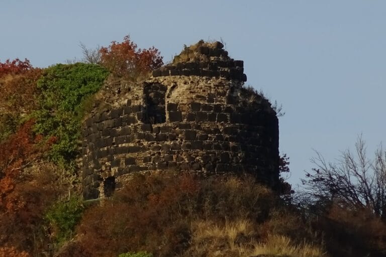
A cleared well lies at the center of the paved castle courtyard. Several building remains survive in the southern part of the castle, including an octagonal tower with a round-arched entrance. The castle chapel dedicated to Saint George is thought to have stood near this tower. Access from the outer bailey to the main castle passed through six gates, and numerous wall, tower, and building remains survive in the outer bailey.
Settlement fortifications
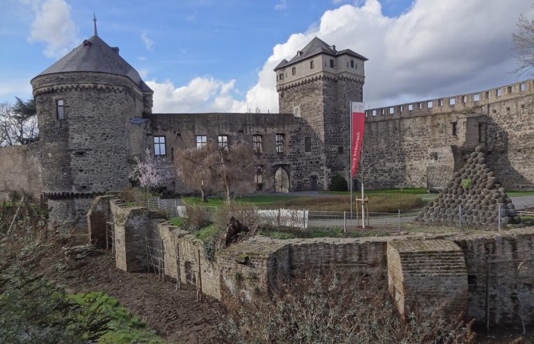
The northern enclosing wall of the outer bailey continues into the fortification of the settlement. It follows the curve of the Wied before turning toward the upper castle and enclosed the valley settlement for approximately 500 metres. The wall generally stood 4 to 5 metres high and reached 8 metres in the east, where it had a wall-walk, battlements, and an arcade frieze.
The settlement defenses were strengthened by four square towers, three round towers, and three gate towers. A dry moat is thought to have stood before the main gate. Remains of the southern Judentor survive, together with substantial parts of the eastern main gate, the Porz, which was later called the Neuwieder Tor from about 1700. Part of the eastern wall, including two towers, also remains.
Nearby sites