Castra of Zugmantel: A Roman Auxiliary Fort on the Limes
Site at a Glance
- Popularity
- Medium
- Country
- Germany
- Primary era
- Classical
- Eras represented
- Classical
- Civilizations
- Roman
- Site type
- Military
- Remains
- Fort
On this page9 sections
History
The Castra of Zugmantel was a Roman auxiliary fort near Taunusstein in Germany, established around AD 90 on the western Taunus stretch of the Upper Germanic-Rhaetian Limes, the Roman frontier system. The Hühnerstraße crossed the frontier at this point, linking the densely settled Germanic Limburg Basin with the Rheingau before and during Roman rule. Its position made military surveillance important for securing the area.
Foundation and Stone Rebuilding
During Emperor Domitian’s reign, around AD 90, the Romans established a timber-and-earth fort covering about 0.7 hectares. Its auxiliary garrison, drawn from the Treveri of northeastern Gaul, probably began with about 160 men and was later reinforced. Around AD 120, under Emperor Hadrian, the fort expanded to approximately 1.1 hectares.
In the middle of the second century, during the Antonine period, a stone fort replaced the timber structure and covered about 1.7 hectares. The nearby small fort of Heidekringen probably housed troops temporarily while the rebuilding took place.
Expanded Garrison and Abandonment
Under Emperor Caracalla, the garrison became the Cohors Treverorum equitata, a military unit combining infantry and mounted troops, with nearly 500 men. Around AD 223, or somewhat earlier, the fort was enlarged again. An inscription shows that the unit later received the honorific Maximiniana, linking it with Emperor Maximinus Thrax. The inscribed stone was broken after AD 238 and reused in a pillar foundation, which therefore dates no earlier than that year.
The fort and the Limes were abandoned around AD 260, amid the Roman Empire’s political and economic crisis in the mid-third century.
Investigation and Protection
Investigation of the fort began in 1760, among the earliest archaeological work at a Limes fort. In the eighteenth century, stone from the remains was quarried during expansion of the Hühnerstraße. The Historical Association for Nassau undertook small excavations around the middle of the nineteenth century. Systematic work began under the Reich Limes Commission in 1894 and continued in the twentieth century under the Saalburg Museum. The most extensive campaigns ran from 1901 to 1914; work resumed from 1921 to 1937, partly as an employment project, followed by further campaigns in 1949, 1950, and 1956. The fort and associated frontier works have belonged to a UNESCO World Heritage property since 2005 and are protected archaeological monuments under Hessian law.
Remains
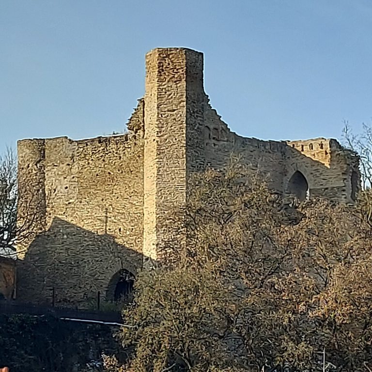
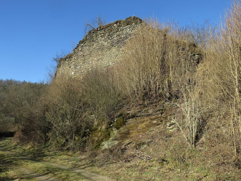
The archaeological area lies at about 455 metres above sea level, roughly one kilometre northeast of Taunusstein-Orlen, at the edge of a large forest. It includes the fort, its surrounding civilian settlement, and nearby frontier works. The southern and southeastern portions have been disturbed by a sports facility and an industrial site, and road expansion has also affected the area.
Fort Plan and Buildings
In its final phase, the fort measured 124.5 by 171 metres and covered about 2.1 hectares, making it the smallest fort on the Limes built for a mixed infantry-and-cavalry cohort. A simple ditch enclosed the defensive wall. The corners were rounded, and each of the four gates had two towers. The main gate faced east in all four building phases. The perimeter survives as an earth bank or slope beneath mature mixed woodland, which now covers the interior. The fort’s headquarters building was excavated in full; its other buildings were probably made of timber or half-timber.
The Civilian Settlement
A civilian settlement, or vicus, surrounded the fort. It included numerous houses, some with underfloor heating, and three sanctuaries, one dedicated to Jupiter Dolichenus, a Roman deity especially worshipped by soldiers. A road angled from the fort toward a spring of the Aar southeast of the site, where the military bath stood. Between the bath and fort, the road developed into an elongated triangular square at the settlement’s centre. Two small amphitheatres stood between the fort and the frontier; they were once mistaken for defensive earthworks. Pottery indicates that Germanic people lived in part of the settlement during the third century. The cemetery lies south of the present sports facility.
Frontier Line and Watchtowers
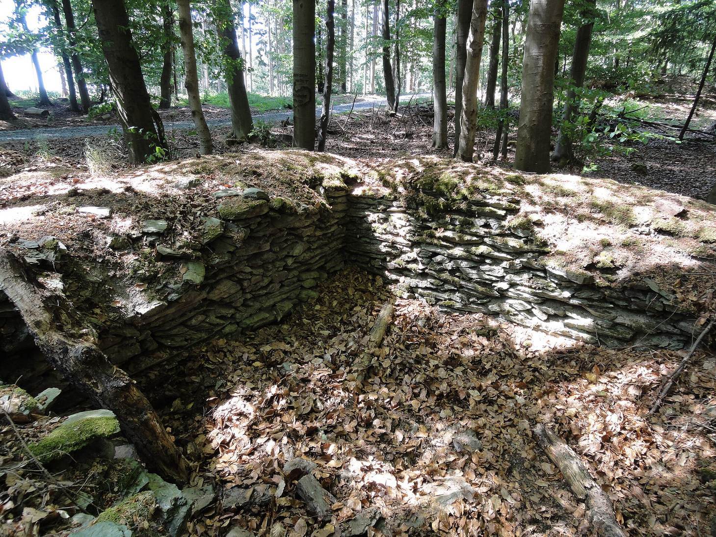
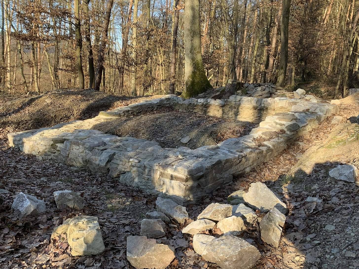
Near the reconstructed watchtower Wp 3/15, the Limes ditch and palisade remain well preserved. Just east of the main archaeological area, a stone watchtower and a section of frontier with palisade were reconstructed in 1971 and 1972. Near Wp 3/18, two frontier alignments can be traced. The older, less regular route follows the terrain and probably dates to the Domitianic period, perhaps around AD 85; it had timber towers and a palisade. Around the middle of the second century, it was probably replaced by a straighter route as much as 800 metres farther north, built with stone towers.
Finds and Environmental Traces
Fragments of clothing from a large bronze statue found within the fort date to the first half of the third century. A hoard discovered in 1912 contained 140 Roman silver coins, including denarii and antoniniani; a separate find in 1931 comprised 14 Roman coins called sestertii. A small selection of finds from the site is held at the Rheingau-Taunus District Limes Information Centre at Hofgut Georgenthal. Small periwinkle grows in the fort area and may be a trace of planting during the Roman period.