Castell de Clarà: A Medieval Frontier Fortress in Spain
Site at a Glance
- Rating
- 4.4
- Popularity
- Very Low
- Country
- Spain
- Primary era
- Medieval
- Eras represented
- Medieval
- Civilizations
- Unclassified
- Site type
- Military
- Remains
- Castle
On this page12 sections
History
Castell de Clarà is a Romanesque frontier fortress in Spain, established to protect the town of Moià and recorded as a castle by 916. The surviving central tower dates to the eleventh century, while the castle’s jurisdiction broadly matched the present municipality of Moià, apart from its northwestern area, which belonged to Castell de Rodors.
Early records and comital control
In 912, the site was still identified as the castle of Moià. By 915, the western part of Moià was known as the territory of Clarà, and the castle of Clarà was named in a record from the following year. These references show the transition from an association with Moià to a distinct territorial centre at Clarà.
In 993, the castle formed part of the dowry assigned to Ermessenda of Carcassonne, the wife of Count Ramon Borrell of Barcelona. Its principal feudal holders were the count’s seneschals, senior officials who could exercise administrative and military duties on behalf of a medieval count. Amat Elderic was the first of these holders named in the castle’s history.
Castellans and medieval lordship
Around 1057, two castellans named Ramon swore fidelity for Castell de Clarà to Ramon Berenguer I and Countess Almodis. A castellan was entrusted with administering and defending a castle. In 1065, Bernat Ramon of Gallifa reached an agreement with the counts concerning the castle, and by 1178 members of the Rocafort family were recorded as castellans.
In 1136, the seneschal Guillem Ramon de Montcada swore fidelity to Count Ramon Berenguer IV and made an agreement concerning several castles, including Castell de Clarà. The castle and its surrounding territory therefore remained linked to the changing networks of allegiance that shaped medieval Catalan lordship.
Transfers to ecclesiastical and royal authority
In 1246, James I transferred Castell de Clarà and the town of Moià to the bishop of Vic in exchange for other possessions. Fourteen years later, the bishop exchanged the church of Moià with the canonry of Santa Maria de l’Estany as part of an arrangement intended to consolidate the territory.
The change in ownership was not permanent. In 1288, Alfonso II sold Castell de Clarà, together with Moià and Santpedor, and recovered them ten years later. The castle consequently passed through both ecclesiastical and royal spheres during the later medieval period.
Demolition and later survival
After the War of the Spanish Succession, the early-eighteenth-century conflict over the Spanish throne, Bourbon authorities ordered the demolition of Castell de Clarà. The castle was subsequently abandoned. Farmers from the surrounding area dismantled parts of the ruins to obtain stone for rebuilding their farmhouses, a practice that continued from the early-modern period into the contemporary period.
The ruins were designated a Cultural Asset of National Interest as a historic monument in 1988. This is Catalonia’s high-level heritage category for monuments and other places considered to have exceptional cultural importance. The site is also listed as a Spanish Asset of Cultural Interest, the corresponding national heritage category, under reference RI-51-0005540. The Catalan architectural-heritage inventory lists it under code 1146.
Remains
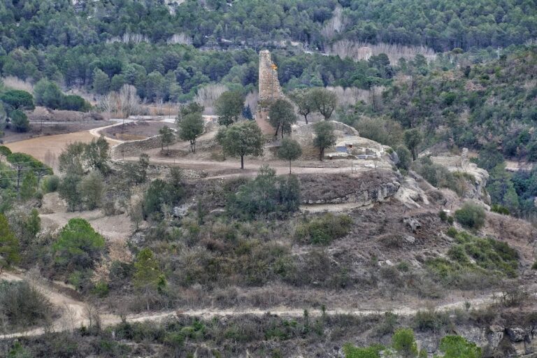
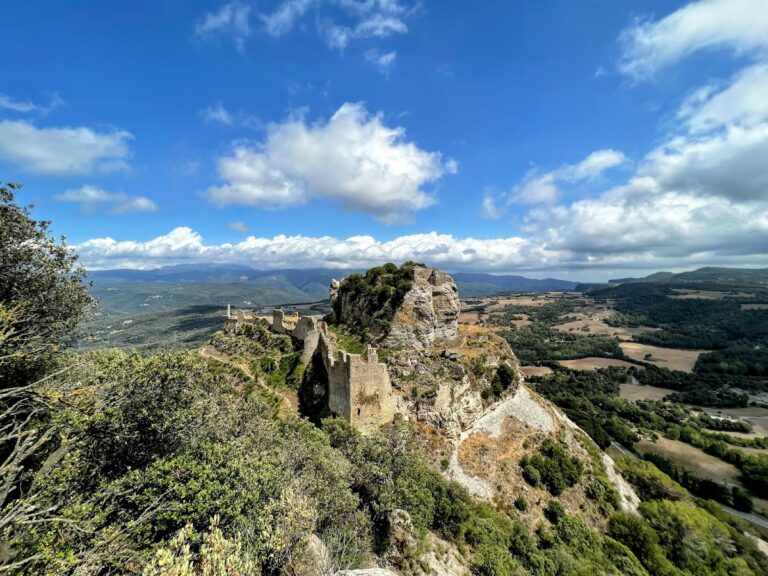
Castell de Clarà is a Romanesque ruin on the summit of Turó de Sant Andreu, at approximately 800 metres above sea level, on the western side of the municipality. The Chapel of Sant Andreu de Clarà stands below the castle and dates from the eleventh or twelfth century. The surviving complex is arranged around a circular central keep, a fortified tower, with adjoining medieval rooms extending around it and a cistern to the west.
Central tower and water supply
Eleventh-century keep
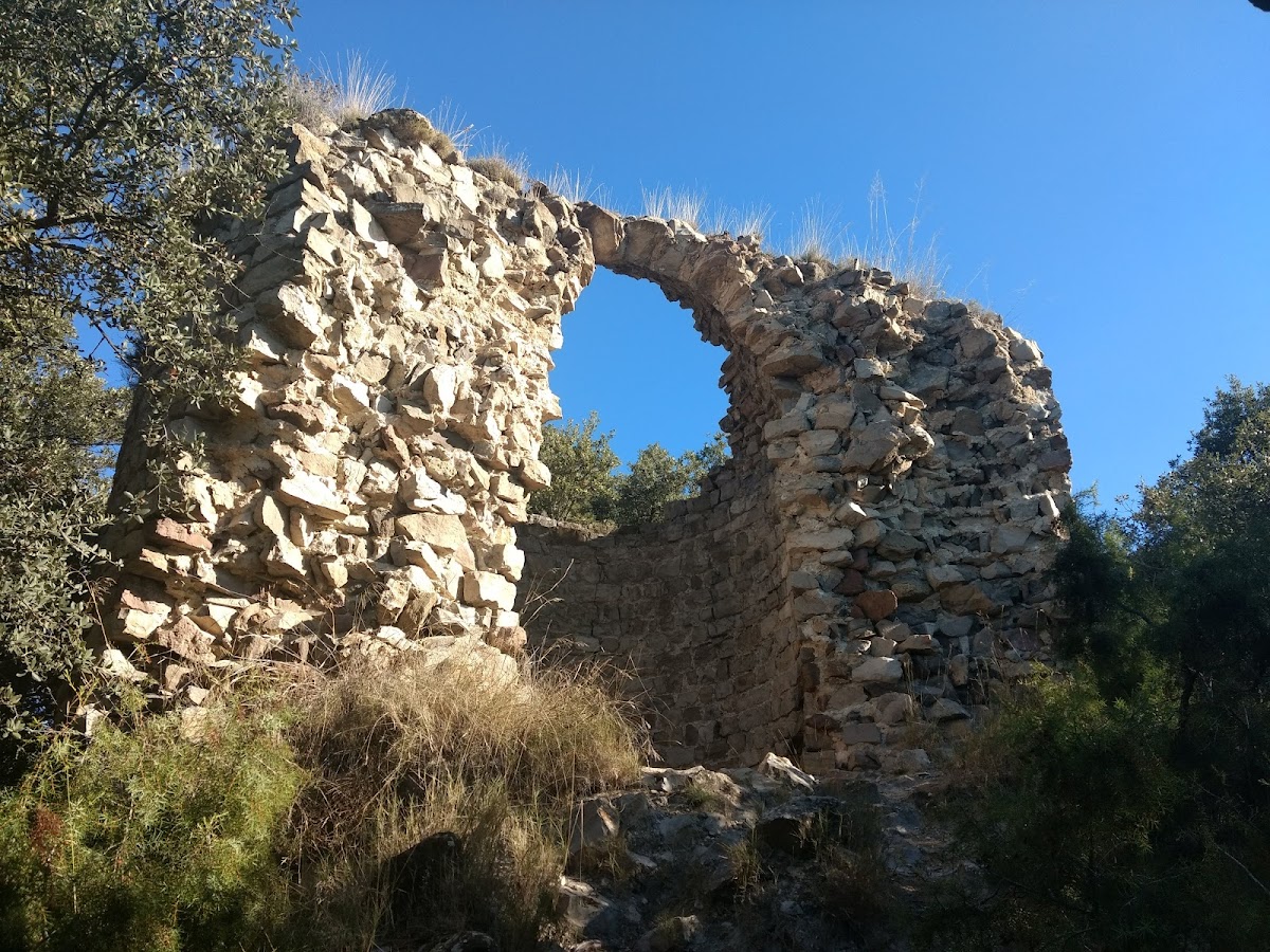
The circular keep has an exterior diameter of approximately 6.80 metres and walls about 2.05 metres thick. Its surviving masonry rises 4.90 metres before an internal step-back of roughly 20 centimetres. Above this level begins a partly collapsed stone dome, closed by an arch 2.10 metres wide, of which about 70 centimetres survives. The tower’s stated current height is approximately 7.70 metres, and its interior diameter is given as 2.70, although the unit is unclear in the description.
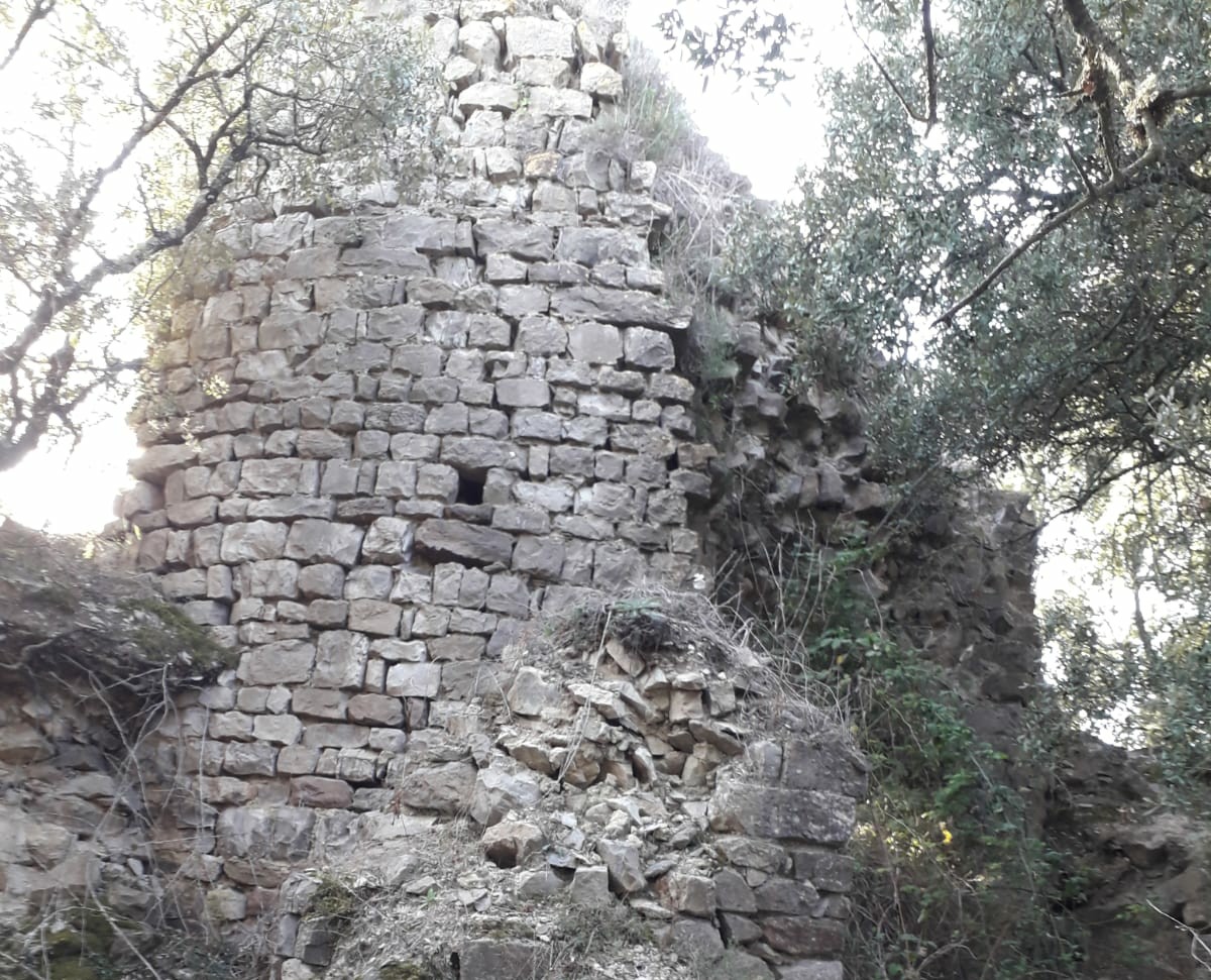
The tower is built from medium-sized, roughly dressed ashlar blocks, meaning shaped stones laid in horizontal courses. The masonry of the dome is rougher and uses undressed stones. The surviving form of the keep provides the central focus of the castle ruins.
Western cistern
A circular cistern stands beside the tower on its western side. It has an internal diameter of 2.90 metres, a depth of 2.65 metres, and walls approximately 70 centimetres thick. Its medium-sized ashlar blocks are smaller and more carefully dressed than those used in the tower. The interior was completely coated with mortar, remnants of which remain.
Adjoining medieval rooms
Northern rooms and passage
Two trapezoidal rooms occupy the northern side of the complex. The western room measures approximately 4.70 by 4 metres and is cut off on its southern side by the tower. It has a narrow defensive opening, or loophole, facing north and a doorway to the south. That doorway leads to a small vestibule measuring about 2.10 by 1.30 metres. The vestibule has an exterior door and an internal arched opening onto the passage, with fragments of the arch springing still surviving.
The second northern room measures approximately 8 by 3.30 metres. It extends almost to the opposite end of the tower and closes the complex on the west. Its outer wall is about 1.10 metres thick, while the internal dividing wall is approximately 0.90 metres thick and runs for about 13.5 metres. An opening in this wall leaves a narrow passage between the two rooms.
Southern rooms and entrances
Two further rooms lie south of the tower. The western room is trapezoidal, measuring approximately 5.30 by 3.40 metres. It has an exterior doorway on its southern side and another doorway opposite, leading to a very small enclosure about 2.10 by 1.30 metres. A further door in this enclosure opens onto the exterior on the west.
The southeastern room has an irregular perimeter and measures approximately 4.30 by 3.30 metres. Two openings can be discerned on its northern side. One probably led to the vestibule and the other to the passage, where a change in level was addressed by steps whose traces survive. The room’s outer walls are about 1.10 metres thick, while the internal wall connecting the southern rooms is approximately 0.70 metres thick.
The walls of the southern rooms consist of medium-sized stones dressed with hammer blows and arranged in horizontal courses. These adjoining buildings are later than the tower but remain medieval, probably dating from a period somewhat later than the eleventh century. Their surviving walls generally rise no more than approximately 2 metres.