Cardiff Town Walls: Medieval Defences of Cardiff
Site at a Glance
- Popularity
- Medium
- Country
- United Kingdom
- Primary era
- Medieval
- Eras represented
- Medieval
- Civilizations
- Norman
- Site type
- Military
- Remains
- Wall
On this page17 sections
History
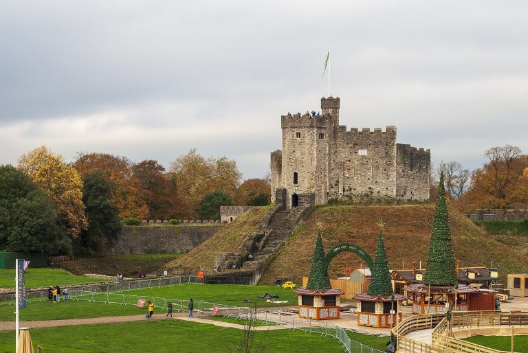
The Cardiff town walls enclosed the medieval town and Cardiff Castle in Cardiff, United Kingdom. The defences are attributed to the Norman lord Robert Fitzhamon and were first recorded in 1111 by the Welsh chronicler Caradoc of Llancarfan in the Chronicle of the Princes.
Early enclosure and stone fortification
In 1171, William Fitz Robert, Earl of Gloucester and Lord of Glamorgan, identified the East Gate as the town’s eastern boundary. By 1184, Maurice de Berkeley had established timber palisades, barriers made from upright timbers, with gates on the north, south, east, and west sides. Gilbert de Clare later strengthened Cardiff Castle’s defences, and the timber barriers were eventually replaced by stone walls.
Attack and refortification
In 1404, forces led by Welsh ruler Owain Glyndŵr during his revolt against English rule destroyed much of the wall near the West Gate. Cardiff may also have been burned. The Grey Friary, a community of friars beyond the East Gate, may have been the only building spared.
A charter granted in 1451 by Richard Neville, 16th Earl of Warwick, recorded a renewed defensive circuit with walls, towers, gates, and ditches. John Leland described five gates in his account of 1536 to 1539, and sixteenth-century travellers reported that the wall was still intact.
Deterioration and demolition
The walls began to deteriorate around 1550 to 1560. Floods in 1607 and 1703, caused by high tides and heavy rain, may have damaged the western stretch. From the eighteenth century, neglect hastened the collapse. Sections were leased to town burgesses, residents with civic rights, and stones were reused in other buildings. Part of the wall also supported the embankment of the Glamorganshire Canal.
Successive decisions removed the gates. The West Gate was demolished after 20 September 1781. The removal of the Blaunch Gate was ordered on 28 January 1785, and on 5 May 1786 the council recorded its decision to remove the North Gate for road traffic and the canal. The council decided to demolish the East Gate in 1791, then the South Gate and parts of the wall in 1802.
Later changes and archaeological study
A surviving stretch behind an infant school in The Hayes was photographed in 1890, then demolished in 1901 to make way for Cardiff fish market. When Oxford Arcade was demolished for the construction of St Davids shopping centre, archaeologists searched for remains of the wall and Cock’s Tower. The walls are designated a National Monument of Wales, a status recognizing a monument’s national importance. The reconstructed West Gate has Grade II* listing, a UK category for particularly important buildings of more than special interest.
Remains
The stone enclosure had a circumference of 1,280 paces, about 2.06 kilometres (1.28 miles), and enclosed much of today’s city centre as well as Cardiff Castle. Its walls averaged 6 to 8 feet (1.8 to 2.4 metres) thick and stood about 10 feet (3 metres) high. The defences included at least five gates and a series of watchtowers.
Gates
North Gate
Also called Senghennydd Gate or Sentry Gate, the North Gate spanned the area of present-day Kingsway beside Cardiff Castle. It was the principal northern entrance, serving routes towards Senghennydd and Caerphilly. Artist Paul Sandby depicted it several times in 1775 and 1776.
East Gate
The East Gate was also known as Porth Crockerton or Crockerton Gate. It crossed Crockherbtown Street, now Queen Street, on the route east towards Llanrumney and Newport. John Speed’s 1610 plan shows a single arch, though the gateway may have had three.
South Gate
Known as Portllongey, meaning “Shipsgate,” and locally as Moor Gate, the South Gate stood at the site of the present Great Western Hotel. It led towards Soundry, or South Town, the moorlands, and what is now Butetown.
West Gate
The West Gate was also called Millgate or Myllegate, while the Welsh scholar Rice Merrick referred to it as Miskin Gate. First recorded as a timber structure in 1184, it was later replaced by a stone gate about 25 feet (7.6 metres) high and 25 feet wide. The Bute family built a reconstruction beside Cardiff Castle in 1860, near the original site. It was restored in 1921, probably to its original dimensions, and is the only surviving example of a Cardiff town gate.
Blaunch Gate
The Blaunch Gate was also called Blunch, Blounts Gate, and, earlier, Wales Gate. It was recorded as Blounts Yate in 1542. Located near the quay, it was probably added during the fifteenth-century rebuilding, rather than forming part of the earlier twelfth- and thirteenth-century timber defences.
Possible sixth gate
Gulley, also called Golate, may have been another gate. It may instead have been a breach in a section damaged by flooding, so its identification as a gateway remains uncertain.
Tower and surviving wall fabric
Cock’s Tower
Cock’s Tower, also known as Cokes Towre or Cox’s Tower, stood on the eastern wall at The Hayes, where the wall followed a bend in a moat. It served as a medieval watchpost and dungeon until around the sixteenth century. The tower was demolished around 1860, and construction in 1962 destroyed its foundations. Some traces may still be identifiable beneath the site, which is now occupied by St Davids shopping centre.
Wall fragments
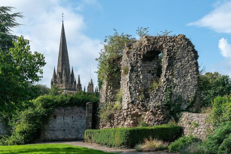
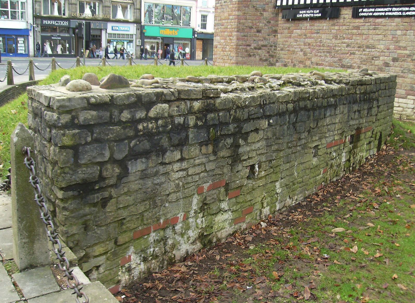
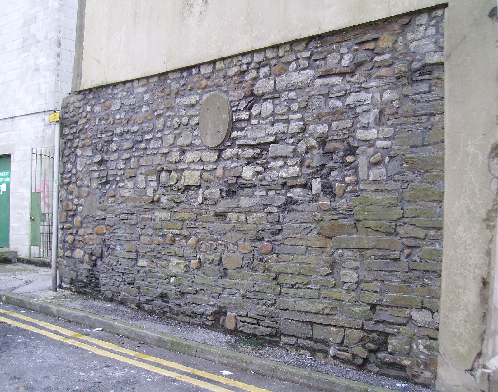
The largest surviving section stands in an alley behind Queen Street. It is about 10 feet (3 metres) high, 19 feet (5.8 metres) long, and 4 feet (1.2 metres) wide. A smaller fragment supports a flower bed near Cardiff Castle.
Traces in the modern city
Westgate Street and Golate are surviving thoroughfares associated with the town wall. St Davids shopping centre follows part of the wall’s boundary, and a passage within it is named Town Wall. The Northgate Building stands near the original North Gate, and a plaque marking that gate remains on the building.