Burgruine Riegelstein: A Medieval Hilltop Castle Ruin in Germany
Site at a Glance
- Rating
- 5
- Popularity
- Very Low
- Country
- Germany
- Primary era
- Medieval
- Eras represented
- Medieval
- Civilizations
- Holy Roman Empire
- Site type
- Military
- Remains
- Castle
On this page17 sections
History
Burgruine Riegelstein is a high-medieval noble hilltop castle ruin in Germany, located in Bad Wimpfen. Probably established around 1200, it occupied a wooded rocky ridge in southeastern Franconian Switzerland. Its founder is unknown, and the castle later became the ancestral seat of the Türriegel family, who adopted the name “zum Riegelstein.”
Origins and the Türriegel family
The castle’s beginnings remain uncertain. Castle researcher Hellmut Kunstmann connected its foundation with ceramics dating from around 1200, while historian Gustav Voit proposed that the Türriegel family built it around 1360. The family was probably not responsible for the original foundation. The Türriegel were members of the lower nobility who served the Schenken von Reicheneck from smaller lordly residences in the Hammerbach valley near Engelthal.
Heinricus Türrigl is first documented shortly before 1260, when he witnessed a transaction for Walter Schenk von Klingenburg. Later records place the family at Eschenbach and Simmelsdorf. The castle itself appears in written evidence around 1403, when it was the residence of Hans, Georg, Dietrich, and Heinz Türriegel. The family either built or acquired the stronghold, made it their hereditary seat, and thereafter called themselves “zum Riegelstein.” The nearby settlement formerly known as Raupersdorf was subsequently named after the castle.
Feudal possession and military use
On 15 February 1502, Hans and Konz Türriegel granted two-thirds of the previously allodial castle to Margrave Friedrich II of the Principality of Bayreuth as a fief. An allodial possession was property held outright, whereas a fief was granted in return for service or loyalty. The agreement also gave the margrave an opening right, allowing him to occupy or use the fortified place during wartime. Heinz Türriegel transferred the remaining third to the margrave on 16 June 1502.
The Riegelstein line ended with the death of Georg Michael Türriegel von Riegelstein on 24 March 1619. The margrave then reclaimed the castle and the other fiefs and granted them to his chamberlain, Henning von Wilmersdorf. A chamberlain was a court official whose duties included functions connected with the ruler’s household and finances. After Henning von Wilmersdorf died in 1637, his widow, Maria Elisabeth von Wilmersdorf, prevented the margraves from reclaiming the castle again.
Destruction and later ownership
The Thirty Years’ War, the major European conflict of 1618–1648 involving religious, dynastic, and political struggles, brought the castle’s destruction. Electoral Bavarian troops occupied Riegelstein after 1642 and completely demolished it. In 1648–49, Christoph Adam von Varell zu Burghaig, the widow’s new husband, received the uninhabitable ruin as a fief.
By 1691, Riegelstein was described as a completely deserted and ruined castle, and its masonry was being taken for building stone. Christoph Ludwig Lochner von Hüttenbach acquired it in 1714 after negotiations to sell it to Christoph Gottlieb Volckamer von Kirchensittenbach had failed. The Freiherren von Harsdorf acquired the associated manor in 1870. A manor was a landed estate linked to seigneurial rights and income.
Survey, preservation, and archaeological status
Johann Christoph Stierlein made a scale topographic map of the ruin and its surroundings in 1792. It recorded several wall lines and a feature identified as a well or cistern. A description from 1794 called Schloss Riegelstein deserted and decayed, with fragments of the ruin in the forest on the Schlossberg.
The Bavarian State Office for Monument Protection records the site as a medieval castle site and archaeological monument under designation number D-4-6334-0009. The surviving fabric remains unrestored and is threatened with complete disappearance. The castle site lies at 589 metres above sea level on the highest point of the Riegelstein Schlossberg, approximately 360 metres north-northeast of the Protestant Lutheran subsidiary church of Saint George in Riegelstein, the former Raupersdorf.
Remains
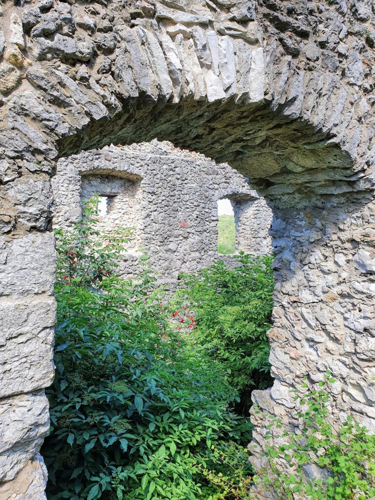
Riegelstein was a ridge-top castle built mainly of rubble-stone masonry. Its almost circular complex occupied a wooded ridge running from southwest to northeast. The upper castle stood on a rocky outcrop at the northeastern end, while the lower castle occupied the western half of the site. Two defensive ditches divided the ridge and protected the approach from the village to the southwest. Surviving remains consist of earthworks, foundations, scattered wall fragments, and small areas of standing masonry.
Ridge defenses and approach
Neck ditch
A neck ditch, a defensive trench cut across a narrow ridge, divided the site at a point about 30 metres wide. Cut into the rock, it extended for 50 metres, measured about 4 metres across, and reached a depth of up to 8 metres. The flat-bottomed ditch ended at steep slopes on both sides. A spoil heap at its eastern end shows that it was artificially excavated.
Outer defensive ditch
Beyond a deliberately preserved rock rib at the castle-side edge of the neck ditch, a second ditch followed a semicircular course around the lower castle. It was approximately 30 metres long, 10 metres wide, and 1 metre deep. Its floor lay 7 metres above the floor of the neck ditch, and it also served as a zwinger, an outer defensive area between a fortification and an external obstacle or defensive line. The preserved rock rib probably supported the bridge.
Gates and approach
The approach probably crossed the neck ditch by a bridge and then the second ditch by a drawbridge. It led to a gate tower in the lower castle. The approach road came from the village to the southwest and ended before the neck ditch at a larger forecourt.
Lower castle
Enceinte wall
The lower castle stood on a plateau 4.5 metres above the floor of the second ditch. Its approximately 2-metre-thick enceinte wall, meaning the main enclosing defensive wall, formed a semicircle and joined the rocky outcrop at its northern and southern ends. Longer stretches survive as foundation remains, defining part of the lower castle’s original perimeter.
Gate tower
A gate tower projected several metres from the enceinte wall on the southern side of the lower castle. Its foundations remain visible, together with fragments of roof tiles and mortar. South of the lower castle, between the gate tower and the rocky outcrop, stood a building with an irregular triangular ground plan. Its foundations also survive.
Cistern and western building
A circular cistern stood in the northern part of the lower castle. It measures approximately 1 metre in diameter and is now 1.5 metres deep. Immediately south of it, at the western edge of the lower castle, was a building measuring about 15 by 8 metres. A depression marks its position, while its western exterior wall also formed part of the enceinte. The centre of the lower castle probably contained the castle courtyard.
Upper castle and cave
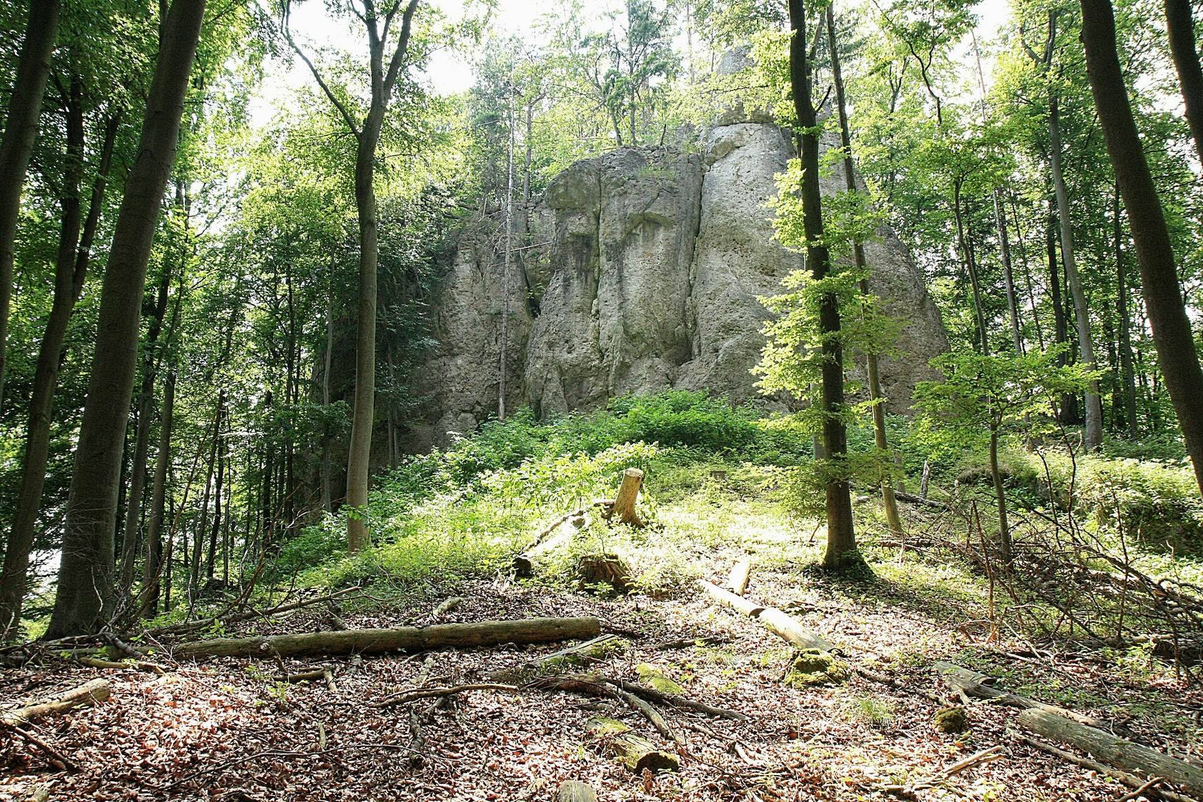
Rocky outcrop
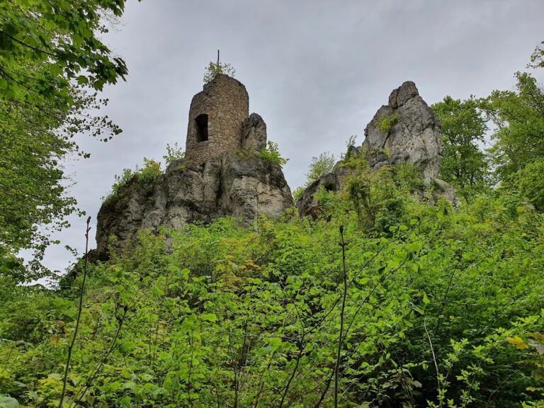
The rocky outcrop formed the northeastern end of the complex and measured approximately 25 by 10 metres. It rose 5 to 15 metres above its surroundings and stood about 100 metres from the northeastern end of the ridge. The upper castle occupied this elevated rock, which rises 10 metres vertically above the lower castle and drops approximately 15 metres on its northern, eastern, and southern sides.
Several small wall remains are visible from below along the eastern edge of the upper plateau, and several buildings once stood on the outcrop. The former route upward is uncertain, although it may have used wooden stairs set into a notch in the rock.
Foot cave
A small cave lies at the eastern foot of the rocky outcrop, about 15 metres below the upper castle and outside the main fortification. Its outer opening was blocked by a wall. Hellmut Kunstmann proposed that it may have been connected with the upper castle by an escape passage.
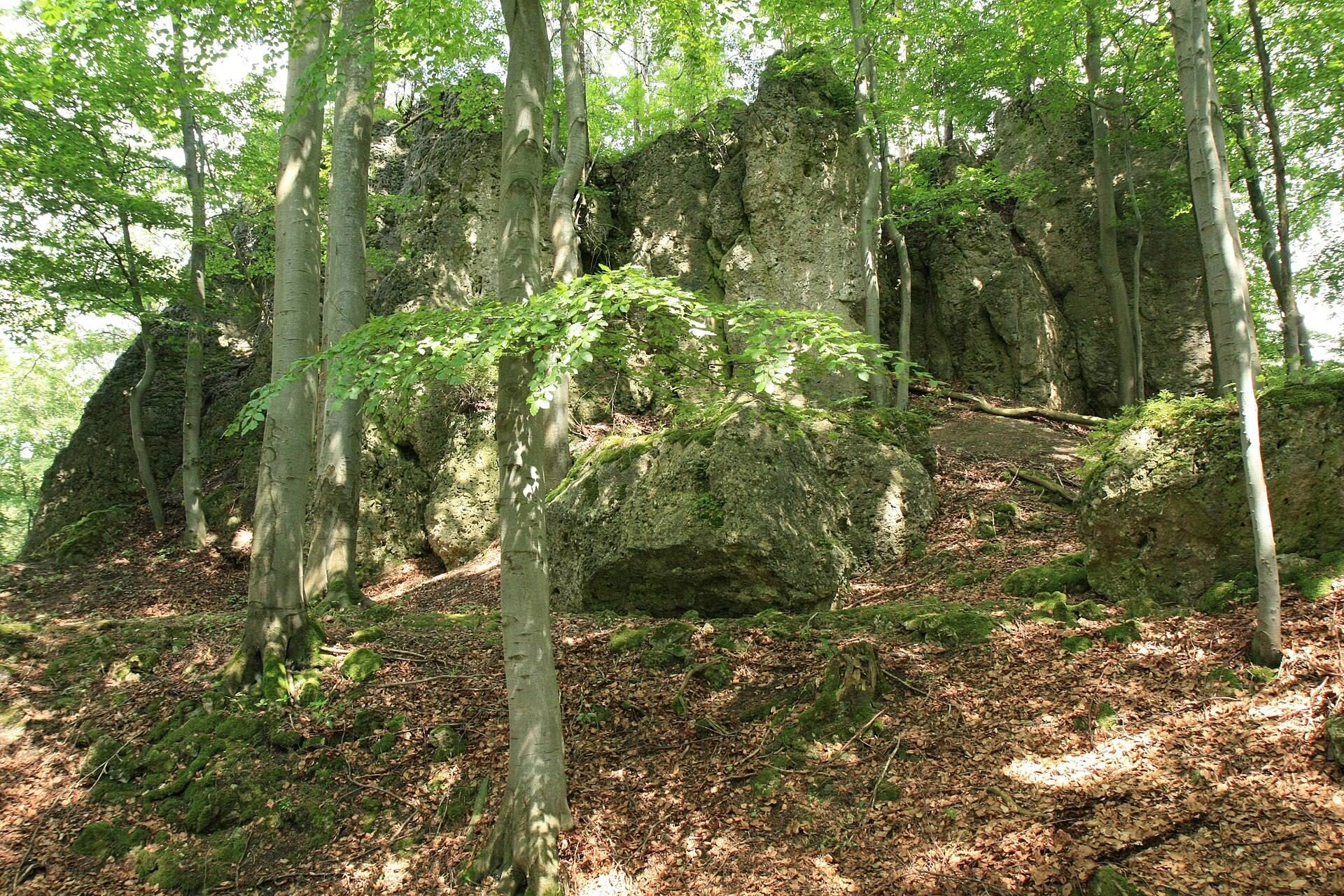
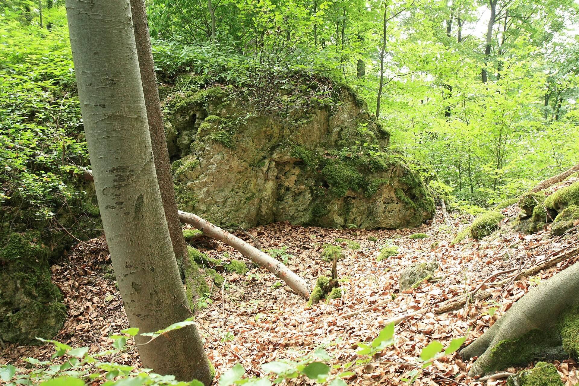
The site is densely wooded, and the castle rock is used as a climbing rock. The visible remains include the two ditches, unsecured wall fragments, foundation remains, and limited standing masonry that preserve the outline of the former castle.