Burgruine Wohlenstein: A Medieval Hilltop Castle in Germany


Site at a Glance
- Rating
- 4.3
- Popularity
- Very Low
- Country
- Germany
- Primary era
- Medieval
- Eras represented
- Medieval
- Civilizations
- Holy Roman Empire
- Site type
- Military
- Remains
- Castle
On this page7 sections
History
Burgruine Wohlenstein is a medieval hilltop castle ruin in Germany, above Bilderlahe near Seesen. A collateral branch of the Wohldenberg family built the castle in 1295, during the medieval period, on the Wohlenstein hill. It controlled the military road between Frankfurt am Main and Brunswick, which entered the Ambergau farther north, and overlooked the area around Seesen.
Foundation and feudal ownership
The abbess of Gandersheim Abbey held Wohlenstein as its feudal overlord. In this arrangement, the abbess was the head of the abbey and the institution that exercised feudal authority over the castle. The Wohldenberg family sold the castle to the noble lords of Homburg in 1349. Eight years later, Heinrich III, Bishop of Hildesheim, acquired it. A bishop was the senior Christian official responsible for a diocese, and Heinrich III retained a connection with the castle that was later represented on his tomb slab.
Destruction during the Diocesan Feud
At the beginning of the sixteenth century, Wohlenstein became involved in the Hildesheim Diocesan Feud. This early-sixteenth-century conflict brought the Bishopric of Hildesheim into armed disputes with regional secular rulers over political, territorial, feudal, and property interests. Duke Erich I of Calenberg-Göttingen besieged the castle and captured it on 30 May 1519. Its garrison numbered 15 men, and the castle was completely destroyed.
Administrative change and later reuse
After the feud, the castle and the Wohlenstein office passed to Duke Heinrich the Younger of Brunswick-Wolfenbüttel. He moved the administration from the castle to a newly built administrative house at Bilderlahe. Castle masonry was later reused in the Heber outlying farmstead and in agricultural buildings belonging to the Bilderlahe estate.
Two historical depictions preserve evidence of the castle’s appearance at different moments. The older image appears on Heinrich III’s tomb slab and represents Wohlenstein around 1363. A second depiction on a map made by Johannes Krabbe in 1591 shows the castle as it appeared around 1520, during the period of the Hildesheim Diocesan Feud.
Remains
Hilltop layout and defenses
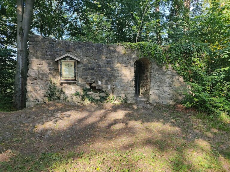
The castle occupied the cone-shaped Wohlenstein hill, an offshoot of the Heber, at an elevation of 253 metres above sea level. Its oval plan measured 45 by 15 metres and was divided into an outer bailey, the area outside the central fortified enclosure, and an inner castle. A gate tower beside the keep connected the two areas. The outer defenses included two lines of ditches and defensive walls. The outer rampart and the deep castle ditch survive, with the ditch still measuring more than 10 metres from the top of the rampart to its bottom.
The original entrance is thought to have passed through the northern rampart. Following the destruction of the castle in 1519, a new approach was probably formed on the southern side toward Bilderlahe. These changes help distinguish the castle’s earlier defensive arrangement from its later access route.
Keep and principal buildings
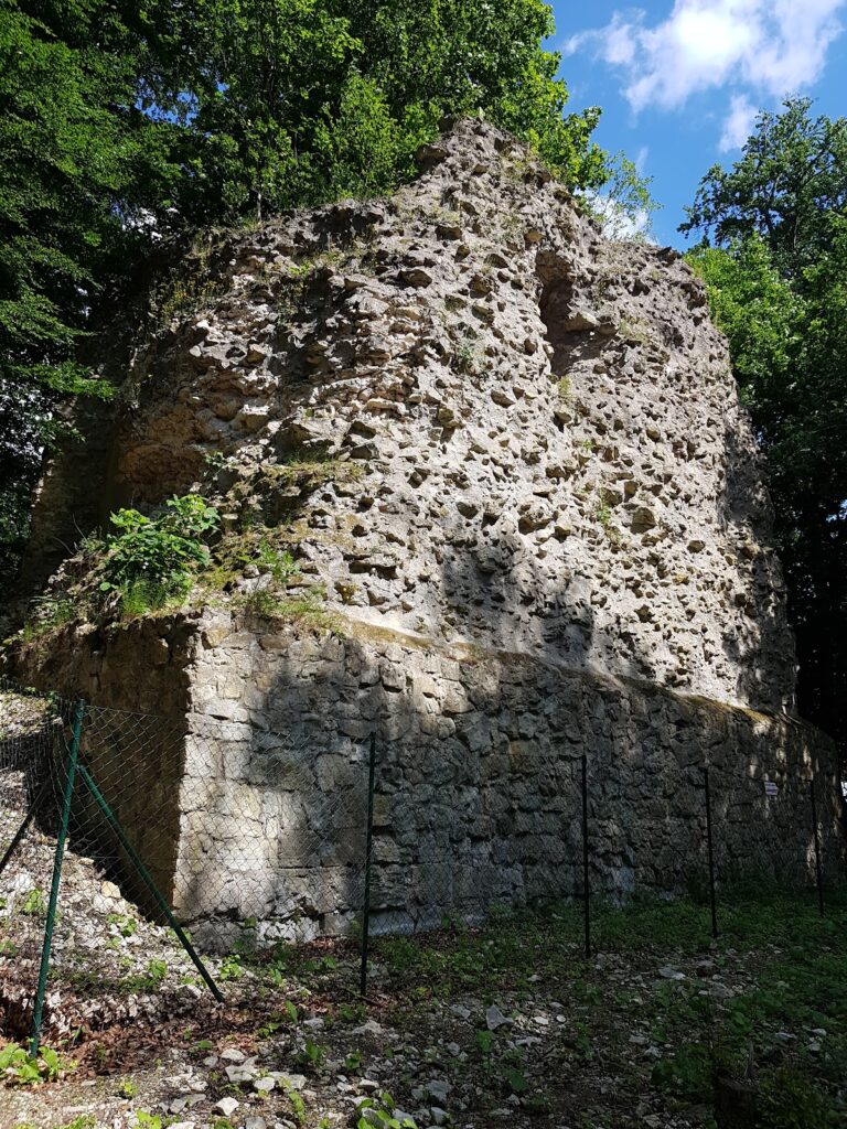
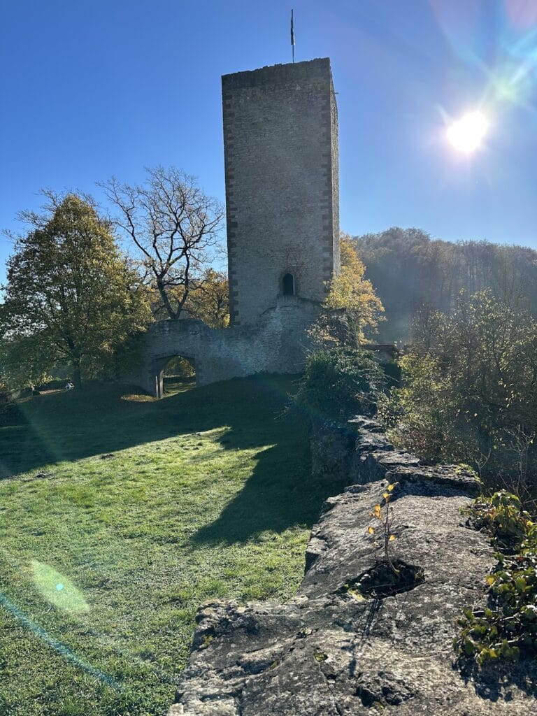
Historical images show a keep, a gate tower, and a palas, the principal residential or representative hall. The surviving keep is represented by three sides of the former tower. It originally rose 24 metres and now stands 18 metres high, while its walls are almost 3 metres thick. Interior masonry remains visible, as do views into the castle ditch, preserving the relationship between the tower and the surrounding defenses.