Kirnstein Castle Ruins: A Medieval Route-Control Fortress in Germany
Site at a Glance
- Rating
- 3.9
- Popularity
- Very Low
- Country
- Germany
- Primary era
- Medieval
- Eras represented
- Medieval
- Civilizations
- Holy Roman Empire
- Site type
- Military
- Remains
- Castle
On this page11 sections
History
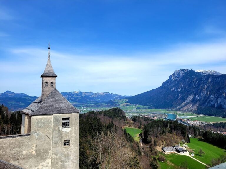
Kirnstein Castle Ruins are the remains of a medieval fortress in Germany, located in the present municipality of Flintsbach am Inn in Bavaria. Built during the first half of the twelfth century by the Lords of Neuburg-Falkenstein, the castle served as a ministerial seat, the residence and administrative base of a noble official serving a higher lord. It stood beside the old road through the narrowed Inn Valley and controlled movement along this route.
The Falkenstein foundation
The castle was established by the formerly powerful Lords of Neuburg-Falkenstein. Around 1130, a person named Leoprant de Churne appeared as a witness for Count Wolfger of Falkenstein. This record provides an early connection between the site and the Falkensteiners, whose local authority rested partly on their control of land and routes in the Inn Valley.
Changes of lordship and rebuilding
After the downfall of the Falkensteiners, Kirnstein passed to the Wittelsbachs in 1247. The Wittelsbachs were the dynasty that ruled Bavaria through much of the medieval and early-modern periods. Further changes followed. The Lords of Preysing of Wolnzach acquired the castle in 1361, Seitz von Laimering held it in 1400, and the dukes of Bavaria-Ingolstadt took possession in 1405.
The castle was burned around 1430 during the conflict created by the Bavarian territorial partition of 1392, a struggle among competing Bavarian dukes over territorial control and succession. Fighting set Duke Ernst of Munich and Henry the Rich of Landshut against Duke Louis the Bearded. The dukes of Bavaria-Landshut later rebuilt Kirnstein and granted it as a fief to Erasmus Waltenhofer. Much of the masonry that survives today belongs to this rebuilding phase.
Kirnstein was destroyed for the second and final time during the Bavarian War of 1504, another struggle among Bavarian dukes over territorial control. By the sixteenth century, the site was being described as a ruin. The cartographer Philipp Apian referred to it in 1568 in the Bairische Landtafeln as a castle in the mountains, while the Bavarian historian and genealogist Wiguleus Hund called it a ruined castle in the 1585 Bayerisches Stammbuch.
Protection and later loss
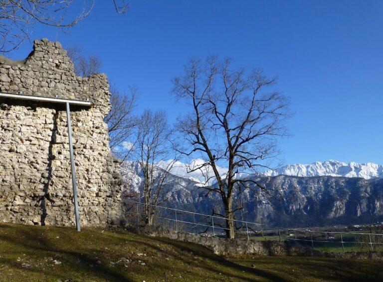
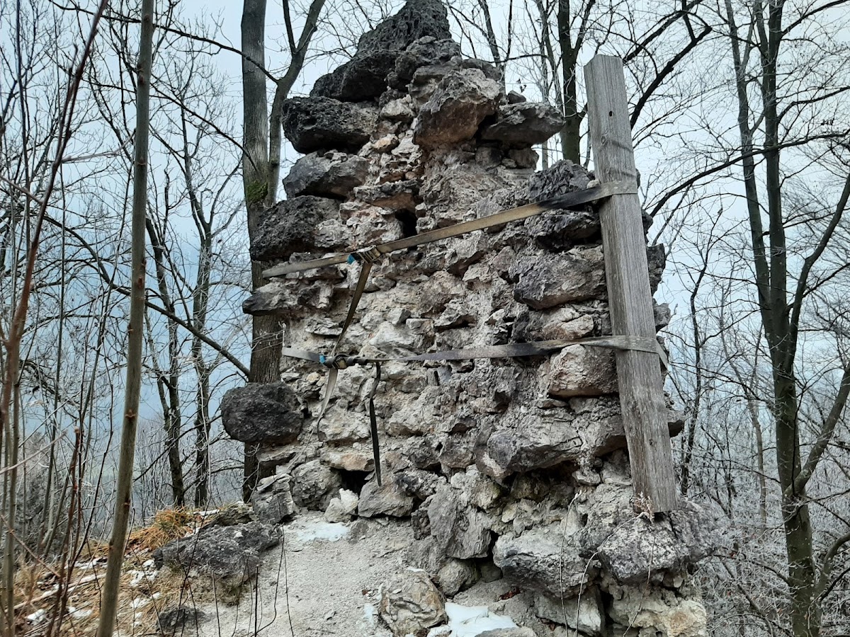
The ruins are protected as an architectural monument of Kirnstein under Bavarian monument number D-1-87-131-31. The site is also recognized as an archaeological monument containing underground medieval and early-modern remains in the area of the castle ruins and the associated pass barrier, a defensive installation intended to control movement through a route or pass. In 2002, a storm destroyed the west wall. A masonry remnant at the southeastern corner remains only provisionally secured.
Remains
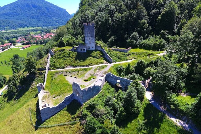
Kirnstein was a spur castle, a fortification built on a projecting ridge, positioned on an eastward-running mountain spur of the Wildbarren only a few metres above the valley floor. The castle stood at approximately 500 metres above sea level. Its principal enclosure was rectangular, while the steep slope rising toward the Wildbarren protected the western side. Below the castle hill, an additional terrace and defensive earthworks formed a lower part of the site.
Principal enclosure
Walls and entrance
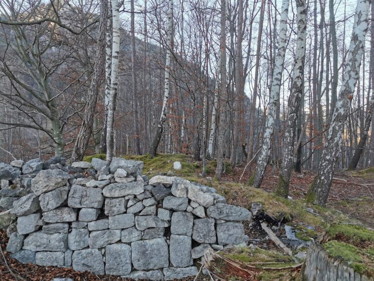
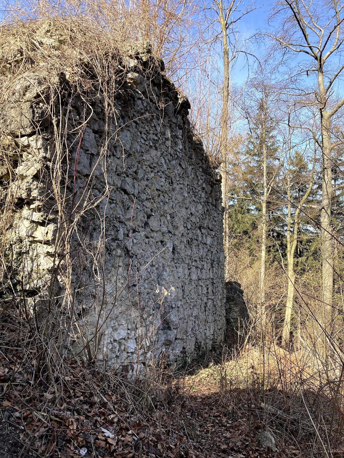
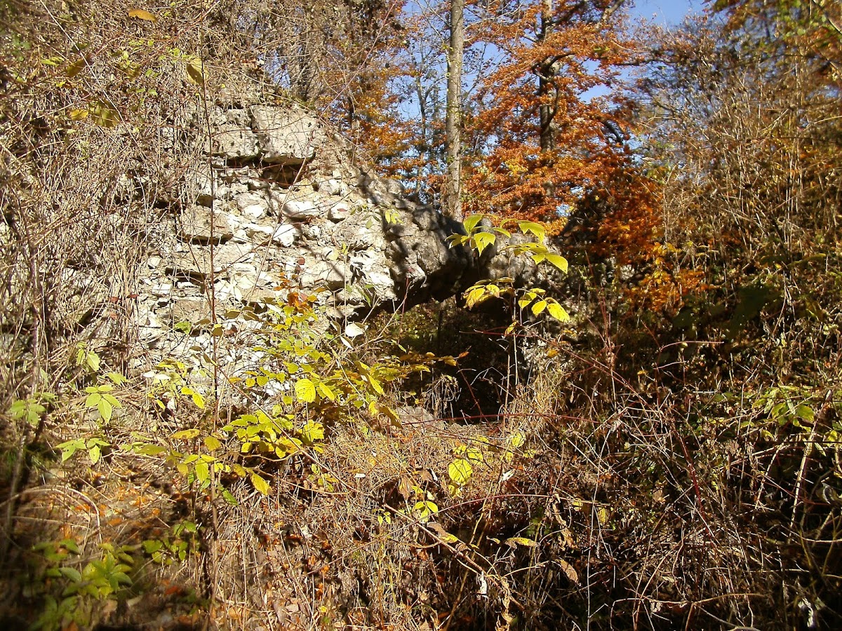
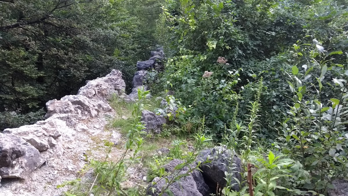
The main castle occupied a rectangular masonry enclosure measuring 18 by 16 metres. Surviving wall sections rise to about eight metres and are approximately 1.2 metres thick. The builders used rubble masonry for most of the walls and ashlar blocks at the corners. Much of the standing fabric belongs to the rebuilding after the fire of around 1430.
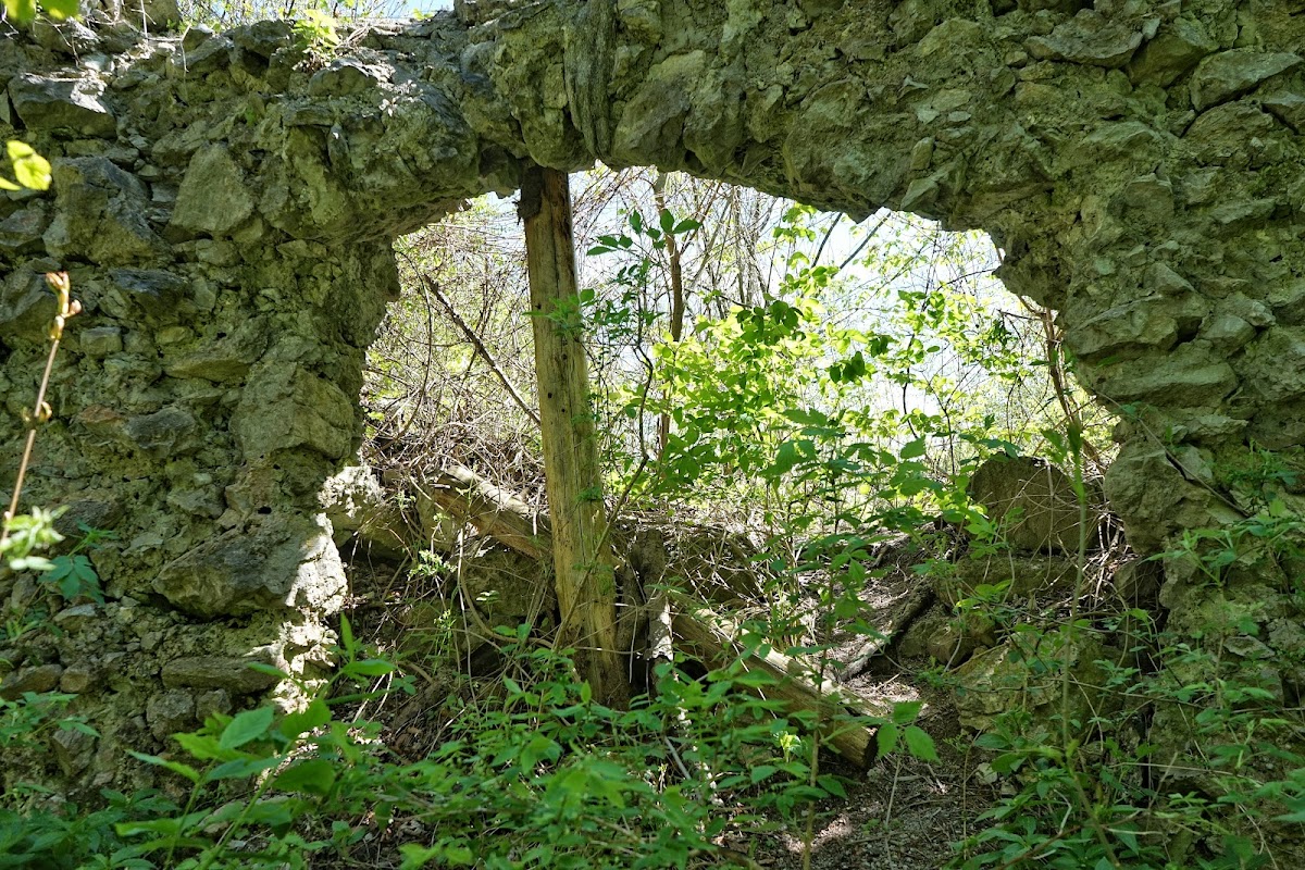
The entrance lay on the north side, where part of a masonry gate arch remains visible above ground. At the southeastern corner, a building projection extends five metres along the structure and two metres outward. These surviving elements define the compact form of the enclosure and preserve evidence of its defensive construction.
Residential area and courtyard
A slightly projecting residential hall, or palas, may have stood along the southern side of the enclosure. A palas was the principal residential and representational building of a medieval castle. The remaining walls probably formed a courtyard around this building. The southeastern masonry remnant is in a fragile condition and has only provisional security.
Outer defenses
Neck ditch
The western side of the castle faced the steeply rising slope of the Wildbarren. A neck ditch cut across this landward approach, strengthening the natural protection provided by the terrain. This feature helped separate the castle spur from the higher ground behind it.
Lower terrace and bailey
Several metres below the castle hill on the eastern side is a terrace separated from the inner castle by a ditch and an outer rampart. A bailey, meaning an outer defensive enclosure below or beside the principal castle, probably occupied this terrace. Together, these features indicate that the site extended beyond the rectangular upper enclosure and included a lower defensive area associated with control of the route through the Inn Valley.
The physical remains therefore combine the compact stone enclosure on the spur with lower earthworks and the archaeological remains of the associated pass barrier. The surviving west side was altered permanently by the loss of its wall in the 2002 storm, while the standing masonry continues to preserve elements from both the original medieval foundation and the later fifteenth-century rebuilding.