Burg Wagrain: A Medieval Hilltop Fortress in Austria


Site at a Glance
- Rating
- 4.3
- Popularity
- Very Low
- Country
- Austria
- Primary era
- Medieval
- External website
- Open
- Eras represented
- Medieval
- Civilizations
- Holy Roman Empire
- Site type
- Military
- Remains
- Castle
On this page12 sections
History
Burg Wagrain is a medieval hilltop fortress in Wagrain, Austria, probably built by the Lords of Goldegg around 1200. It guarded the crossing over the Wagrainer Höhe between the Salzach and Enns valleys and served as a stronghold against the territorial expansion of the Salzburg archbishops, which the Goldegg family repeatedly resisted.
Earlier watchtowers and the Goldegg stronghold
Two watchtowers stood at Wagrain during Roman times. One was probably incorporated into the foundations of the parish church tower, while the other stood on the hill later occupied by Burg Wagrain. The medieval fortress therefore formed part of a location with an earlier defensive role, although the exact date of its construction is unknown.
The Lords of Goldegg held the fortress during a period when Salzburg’s archbishops were extending their territorial authority. Burg Wagrain protected an important route across the elevated crossing and provided the family with a fortified base from which to resist that expansion.
Destruction during the succession conflict
Burg Wagrain was destroyed during the struggle for the German throne between Louis IV of Bavaria and Frederick the Fair. This was a conflict over the German kingship that divided leading nobles and princes. The Goldegg family supported Louis, while Salzburg Archbishop Friedrich III of Leibnitz supported Frederick. After Louis’s victory over Frederick at the Battle of Mühldorf in 1322, the archbishop destroyed Burg Wagrain during the fighting.
The castle was not rebuilt. Its associated Hofmark, a local jurisdiction or estate held by a lord, continued to exist and was incorporated into the Prince-Archbishopric of Salzburg, the state ruled by Salzburg’s archbishop as both territorial and ecclesiastical authority. The Hofmark was thereafter granted as a fief, meaning land or authority bestowed by a superior ruler in return for service or allegiance.
Later holders of the Wagrain estate
In 1450, Wiguleius and Berhand Grabner of Tyrol received the Wagrain Hofmark and Schloss Goldegg. They were required to surrender Goldegg again in 1463. The later history of the estate continued through the Welser family. In 1593, members of that family were ennobled with the predicate “von Wagrain.” Abraham Welser von Labach zu Wagrain died in 1635. The last member of the family was his grandson, Johann Melchior Welser von und zu Einödberg, who held the Salzburg office of Truchsess, a high court position originally connected with supervision of the ruler’s household and table.
Decline and archaeological rediscovery
A small dwelling was built on the castle hill during the nineteenth century. Its owners left in 1939, and extensive removal of the ruins’ stone followed. Stone was even taken for the construction of a swimming pool that year. This severely damaged the surviving fabric and caused the castle to disappear from local public awareness.
Three underground passages were traditionally associated with Burg Wagrain and were said to lead toward the market. One reached the cellar of the Steinerwirt and was walled up in 1878. A second was said to lead to the castle chapel, identified with the market church. A third was discovered during construction of the Grafenwirt inn in 1929 and was sealed because its condition had deteriorated.
At the initiative of the cultural association Blaues Fenster, annual archaeological excavations began in 2006. Under Peter Höglinger of the Federal Monuments Office’s archaeological monuments department, and in cooperation with the University of Salzburg’s Department of Ancient Studies, the site was investigated and surveyed through a three-week teaching excavation involving students. The work continued between 2006 and 2010. Ceramics, masonry remains, and a previously unknown building plan revealed structures that could not be seen at the surface. Information panels at the former castle now present the history of the complex, while a cultural walk includes an exhibition of art objects.
Remains
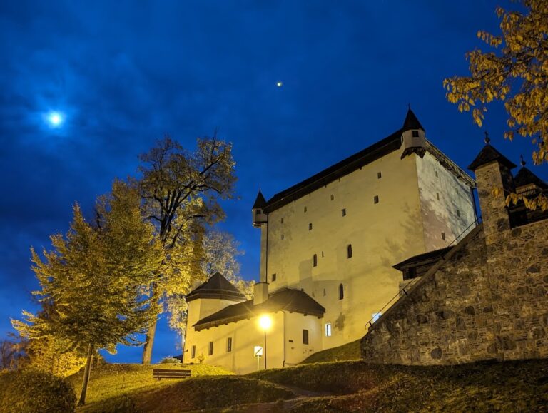
The ruins occupy a terrain spur at approximately 840 metres above sea level, between the upper and lower parts of Wagrain’s market area and halfway up the Kirchweg. Steep slopes protect the site on all sides. The castle precinct measured about 60 by 80 metres, while the former courtyard covered approximately 5,000 square metres. Its defensive organization combined an enclosing ring wall, a rampart, a probable eastern entrance, and substantial internal buildings.
Walls, rampart, and tower foundations
Enclosing wall and entrance
The ring wall is approximately 150 centimetres thick. On the southwest side, as much as 3 metres of masonry survives. A narrow path runs around the castle area outside the surviving wall remains. The lower part of a rampart with a masonry core also remains, and the probable entrance gate was set in the eastern wall front.
Round tower and later building
In the eastern part of the site, the ground-floor remains of a square stone building were identified as a former tower. This structure stood on the foundations of a massive freestanding round tower about 11.5 metres in diameter, with walls approximately 2.7 metres thick. The round tower was probably the castle’s keep, the principal strong defensive tower of the fortress. During restoration, the remains of a later rectangular building erected on the round-tower foundations were removed, and the castle remains were restored and supplemented.
Residential buildings and excavated finds
Palas and outer defensive area
The internal buildings in the northwest part of the castle plateau probably included the palas, the principal residential and representative building of a medieval castle. It measured approximately 22 by 13 metres. An ashlar-built corner survives there, formed from regularly cut masonry blocks arranged as a pronounced corner feature, together with two steps from an external flight of stairs.
In 2008, excavation of the zwinger, an outer defensive area between the inner wall and an additional barrier, exposed a dark soil layer rich in carbon. The layer lay between the palas and the enclosing wall and contained fragments of earthenware and glass vessels, iron crossbow bolts, knives, belt buckles, and finger rings made from non-ferrous metal.
Coins and wider connections
Three coins found in the same excavation area had been minted at Enns, Salzburg, and Munich. Their places of production indicate that Burg Wagrain was connected to long-distance trade networks. Together with the ceramics, fittings, weapons, and masonry remains, these finds help define the activities associated with the castle’s occupied phases.