Burg Schwarzwald: A Medieval Fortification and Administrative Centre in Germany


Site at a Glance
- Rating
- 4.2
- Popularity
- Very Low
- Country
- Germany
- Primary era
- Medieval
- Eras represented
- Medieval, Modern
- Civilizations
- Holy Roman Empire
- Site type
- Military
- Remains
- Castle
On this page9 sections
History
Burg Schwarzwald is a high-medieval fortification in Germany, above the Schwarzwald district of Luisenthal. Established around 1250 on a mountain spur in the Thuringian Forest, it monitored an important military and trading road crossing the forest near Oberhof.
Counts and territorial rulers
The castle first appears in written records in 1290 under the name castrum Swarzenwalt. By 1302, it belonged to the Counts of Kevernburg together with an economic estate in the valley. It briefly passed to the Counts of Orlamünde before coming into the possession of the Counts of Schwarzburg.
Around 1367, the city of Erfurt tried to purchase Burg Schwarzwald to secure one of its main trade routes to Franconia and avoid tolls and road charges. The attempt failed, and the castle subsequently passed to the Thuringian landgraves.
The Schwarzwald administrative district
The Wettins, a major ruling dynasty in central Germany, established a bailiwick at the castle. A bailiwick was an administrative territory governed by a bailiff for a higher ruler. The resulting Schwarzwald district combined governmental, judicial, and fiscal functions.
The district included Schwarzwald and Stutzhaus, now parts of Luisenthal, as well as Oberhof and Zella St. Blasii and Mehlis, now Zella-Mehlis. It also covered associated hunting lodges, mines, mills, smelting works, and settlements for forest workers. From the fourteenth century, the castle therefore served as both a fortified site and an administrative centre. The seat of administration moved to Zella Sankt Blasii, its principal settlement, in 1642.
Abandonment and later history
After the Thirty Years’ War, the major European conflict fought mainly between 1618 and 1648, the castle ruin was abandoned. Its stone was then quarried for the settlement of Schwarzwald, which expanded around the castle hill.
The construction of the railway to Luisenthal brought the beginnings of tourism around 1920. Walking paths and viewpoints made the ruin more accessible. The name “Schwarzwald” is interpreted as an early reference to the coniferous woodland that predominated in the area during the late Middle Ages, especially spruce and fir. The castle site is a protected archaeological monument and is used for tourism and forestry.
Remains
Ridge fortifications
Burg Schwarzwald was a sectioned spur castle, meaning a fortification divided into defensive parts by barriers such as ditches and ramparts. It occupied a narrow ridge about 519 metres above sea level, roughly 60 metres above the Ohra valley. The ridge extends westward from the 659.2-metre Turmberg into the Ohratal. The castle stretched for about 250 metres along the ridge and measured approximately 20 to 40 metres across. Steep slopes protected its northern, western, and southern sides, while ditches and ramparts strengthened the defenses.
Eastern approach and neck ditch
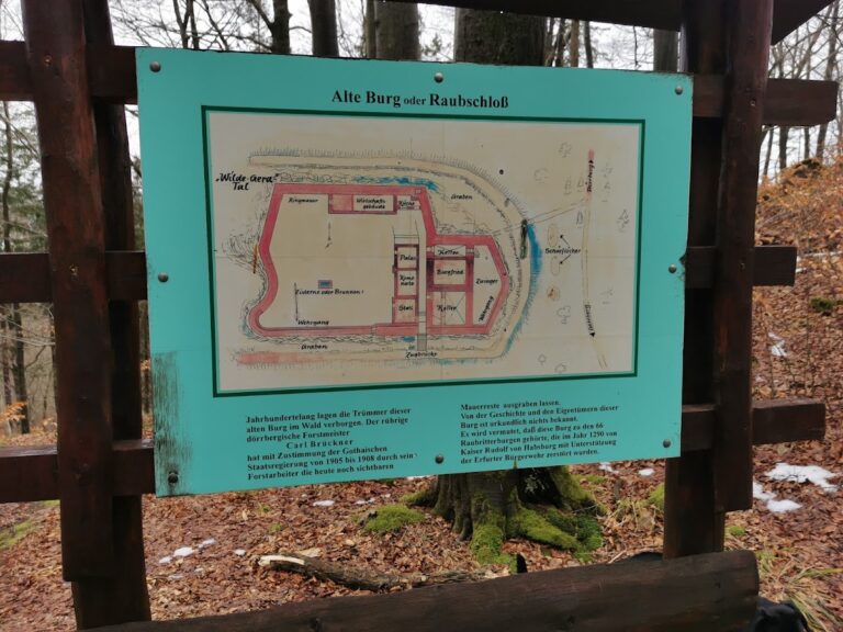
Access came from the east along a still-recognizable sunken way. The route crossed a bow-shaped neck ditch, a trench cut across the narrow connection between a spur and the higher ground behind it. Cut into the rock, the ditch was approximately 5 metres deep and wide. A defensive rampart remains clearly traceable north of the ditch, facing toward the settlement. An explanatory panel maintained by the local heritage association stands beside it.
Western tower
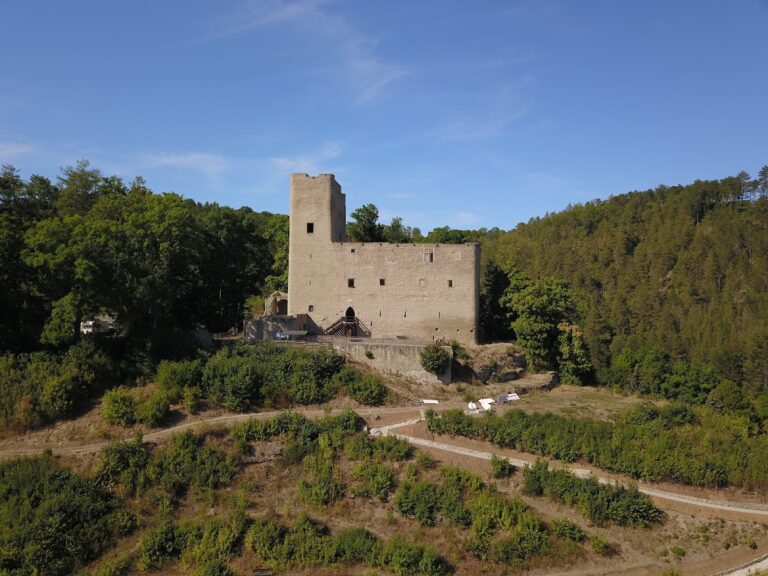
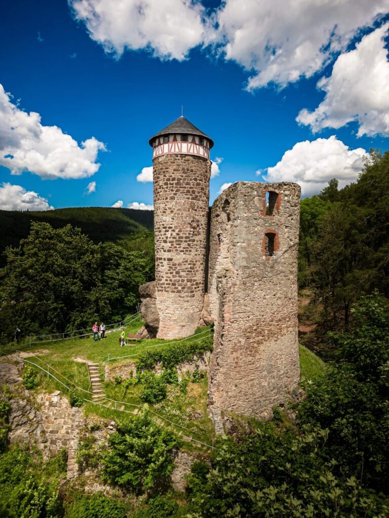
The western castle tower controlled the neck ditch. Its surviving ruin stands approximately 20 metres high and forms the most substantial standing element of the fortification. The surviving fabric around it consists chiefly of rubble-stone masonry, together with the ditch and ramparts.
Castle interior and later memorial
Additional ditches divide the western part of the castle. This area contained the residential and economic buildings as well as the administrative facilities. Only slight traces of these former buildings and fortifications survive. On the southern side of the middle section, beside the hiking path, a masonry remnant is approximately 1 metre high and about 10 metres long.
A small monument erected in the western part of the castle after 1870 commemorates the Franco-Prussian War, fought between France and Prussia and its German allies in 1870 and 1871.