Raubschloss: A Medieval Spur Castle in Germany


Site at a Glance
- Rating
- 4.2
- Popularity
- Very Low
- Country
- Germany
- Primary era
- Medieval
- Eras represented
- Medieval
- Civilizations
- Holy Roman Empire
- Site type
- Military
- Remains
- Castle
On this page7 sections
History
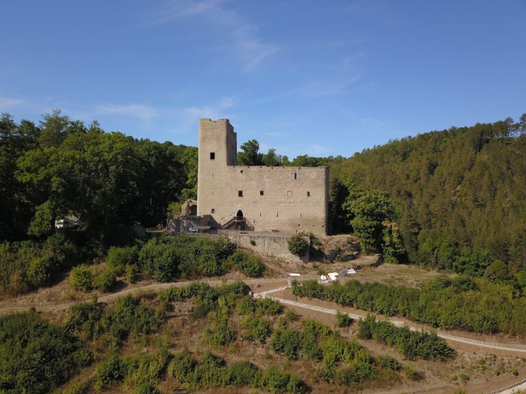
Raubschloss, also called Alteburg, is a medieval fortification in Germany near Gräfenroda. The Counts of Kevernburg, a noble dynasty associated with Thuringia, probably built it around 1150 as a small high-medieval castle. Its position near important routes helped establish its role in the region and later connected it with conflicts over commercial traffic.
Castle and Trade Routes
Several medieval routes passed through the surrounding landscape. One led from Arnstadt through Plaue and Geschwenda, climbed the Arlesberg, continued across the Güldene Brücke and the Rennsteig, and then descended toward Goldlauter and Suhl. Another ran from Arnstadt through Liebenstein, Gräfenroda, Waldsberg, Löffelbühl, and Oberhof to Suhl. The route near Geschwenda was an important reason for establishing the castle.
During the many conflicts of the thirteenth century, Raubschloss repeatedly came into the possession of robber knights. This historical term refers to members of the medieval nobility who used fortified residences for raids, toll extortion, or attacks on trade and transport. From the castle, they seriously disrupted Erfurt’s commercial traffic. Raubschloss was besieged in 1290 and again in 1343, after which it was ultimately completely destroyed.
A local tradition tells that the burgrave, a castle governor with military and administrative duties, and his daughter Katharina Anna were driven from the castle by robber knights. The story preserves a human dimension of the site’s association with violence and displacement, although the castle’s documented history is centered on its strategic position and destruction.
Mining and Archaeological Investigation
Mining activity brought a later phase of interest to the area. In the early seventeenth century, miners searched the forests around the castle for copper and silver, following earlier work on the western slope of the Arlesberg. In 1606, Barthel Drachstedt, a mining entrepreneur from Ilmenau, obtained the concession for the Alte Burg and Arlesberg mining area. During the next five years, numerous investors joined the undertaking, but it failed. After proceeds and deductions were settled, the mining works and related facilities had produced a loss of more than 13,000 gulden, a historical monetary unit used in parts of the German lands.
The forester Carl Brückner directed the first excavations at Alteburg from 1905 to 1909. These investigations established the fortification’s structure and external dimensions. The castle site is now a protected archaeological monument, while the surrounding land is used for forestry.
Remains
Fortification on the Arlesberg Spur
Raubschloss occupied the western mountain spur of the Arlesberg, also known as Alte Burg, at about 575 metres above sea level. The site lies approximately 3.5 kilometres southwest of central Gräfenroda and about 2 kilometres south of Dörrberg. As a spur castle, it was built on a projecting ridge and used the surrounding slopes as part of its defensive setting. The rectangular fortification measured about 65 by 50 metres. Ditches and mounds formed by the ruined structures survive on the site, and a reconstructed section of wall can be seen at the excavation area.
Construction and Water Supply
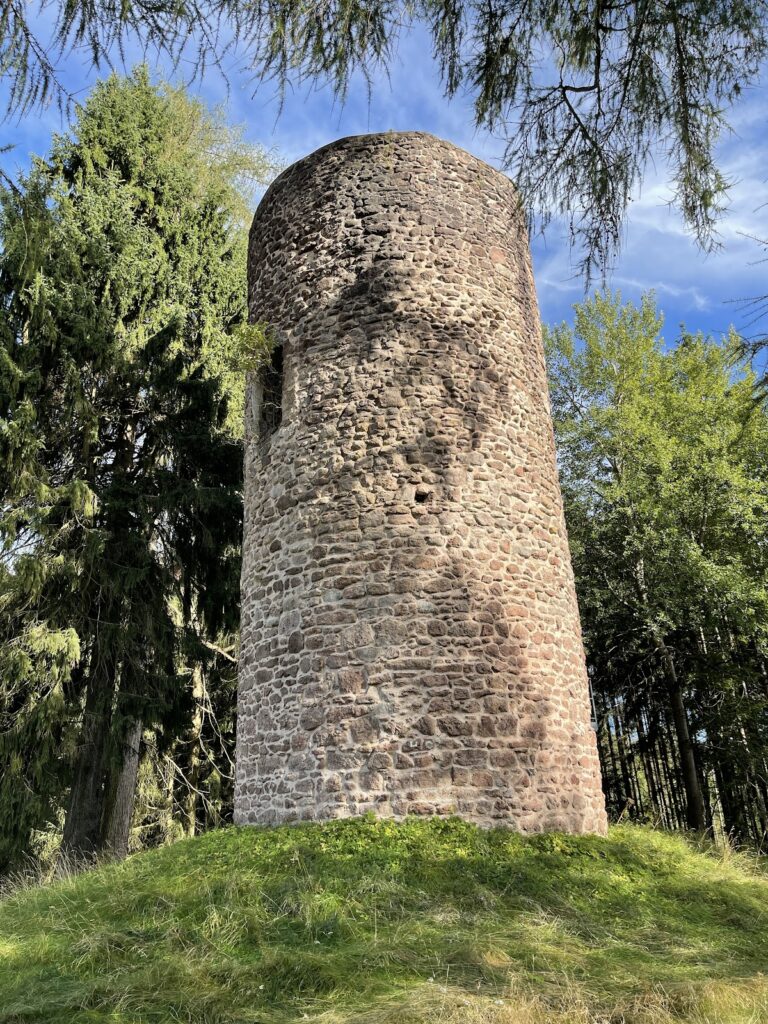
The lower parts of the castle masonry were built from locally available limestone, while sandstone from the surrounding area was used for the upper storeys. At the centre of the enclosure was a draw well cut into the bedrock. It measures approximately 1.5 by 1.0 metres and is estimated to reach about 30 metres deep. Its function remains uncertain, since it may instead have been a mining shaft.
Routes and Mining Works
The physical setting also preserves traces of the wider landscape that supported the castle and later mining. Numerous hollow ways on the eastern slope of the Arlesberg, roughly 900 metres from the fortification, mark the ascent of the medieval trade route. Below the site, the Wilde Gera valley carries a heavily used railway line between Erfurt, Oberhof, and Suhl.
The later mining enterprise included horizontal adits, vertical or steeply inclined shafts, waterworks, stamp mills for crushing ore, smelting works for extracting metal by heat, and accommodation buildings. These features belong to the mining phase associated with the area and show how the landscape was adapted for copper and silver prospecting long after the medieval castle had been destroyed.