Breitenstein Castle: A Medieval Hill-and-Rock Fortress in Germany


Site at a Glance
- Rating
- 4
- Popularity
- Very Low
- Country
- Germany
- Primary era
- Medieval
- Eras represented
- Medieval
- Civilizations
- Holy Roman Empire
- Site type
- Military
- Remains
- Castle
On this page10 sections
History
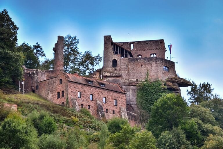
Breitenstein Castle is a medieval hill-and-rock castle in Esthal, Germany, probably built around 1246 during the late Hohenstaufen period. Its construction took place amid political and military unrest surrounding Pope Innocent IV’s deposition of Frederick II, the Hohenstaufen ruler and Holy Roman Emperor. The castle was associated with the ministerials, a legally unfree but influential service nobility whose members served as administrators and military retainers for rulers, bishops, and territorial lords.
Foundation and Leiningen service
Breitenstein first appears in written records in 1257, when a knight of Kropsberg served as its castellan and as a ministerial of the Counts of Leiningen. In 1265, the same individual was recorded as Burkhard of Breitenstein. The castle continued to have resident officials, including Jakob of Flersheim, who was appointed to such a position in 1339. These appointments reflect the castle’s role within the network of service and military administration maintained by regional powers.
The siege castle and disputed authority
After the death of King Rudolf of Habsburg, conflict broke out in 1291 between the Habsburgs and their opponents. During this unrest, the Counts of Sponheim probably built a separate siege castle a few metres south of Breitenstein. This additional structure was known in 1340 as Nieder-Breitenstein, meaning Lower Breitenstein.
The new castle became the subject of a dispute over territorial authority. In 1340, Count Walram of Sponheim was found guilty by the royal court in Munich of building a castle without authorization in the territory of the Prince-Bishopric of Speyer, an ecclesiastical territory governed by the prince-bishop of Speyer. The court ordered Walram to surrender the castle to Friedrich Horneck, a Speyer vassal. Count Palatine Rudolf II appealed, however, and declared Walram his own vassal, enabling him to retain the castle.
Reorganization and destruction
A castle-peace treaty concluded in 1357 reorganized the relationship between the two fortifications. The larger siege castle was to serve as the main castle, or inner ward, while the older and smaller complex became the outer ward. An inner ward was the principal fortified enclosure, whereas an outer ward was a secondary or subordinate enclosure within the wider castle complex.
Breitenstein was last mentioned in 1382. It probably came into the possession of the Counts of Leiningen in 1437 and was probably destroyed in 1470 or 1471 during a feud between the Leiningen family and Elector Frederick I in the Electoral Palatine War, a late-medieval conflict involving the Electorate of the Palatinate. The ruins entered the care of the Rhineland-Palatinate State Castle Administration in 1963. Conservation and stabilization work on the walls followed in 1988 and 1989.
Remains
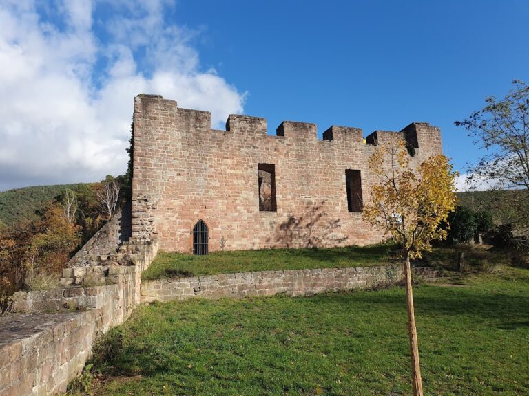
The ruins stand at approximately 223 metres above sea level on a steep slope along the northern side of the Speyerbach valley in the Palatinate Forest. They occupy rocky ground above the hamlet of Breitenstein, which belongs to Esthal in the Bad Dürkheim district. The main complex is arranged around a narrow rocky base, with a fortified upper enclosure, a lower ward, and a separate outer ward beyond the main defensive ditch.
Main fortifications
Shield wall and neck ditch
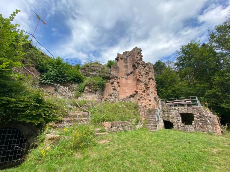
The Late Hohenstaufen inner ward occupies the narrow rock base. Its shield wall, a strong defensive wall placed on the side most exposed to attack, survives to almost its original height. The wall is built throughout from rusticated ashlar masonry, with the right-hand edge, viewed from uphill, sloping outward. Corbels remain on the inner face. They once supported a wall-walk, or passage along the top of a defensive wall, and show Gothic influences.
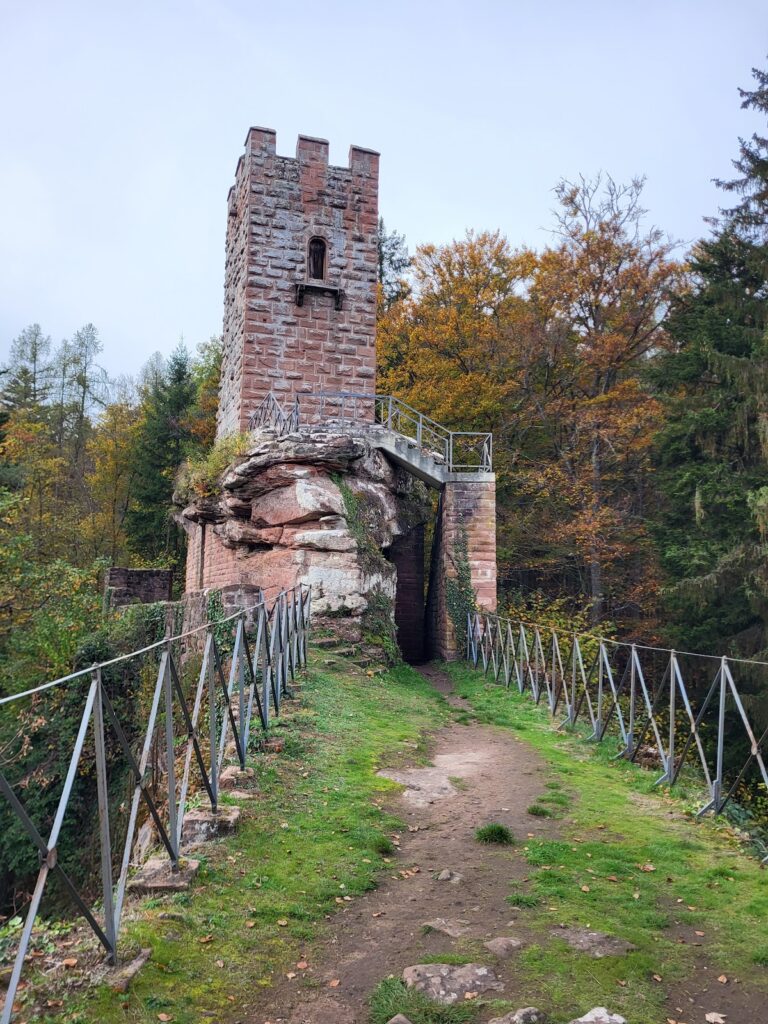
A deep neck ditch cut into the rock protects the approach side of the castle. The ditch was not crossed by the main entrance route. Instead, access was provided by a staircase cut into the rock on the southern side. The rocky upper base is now accessible only to experienced climbers.
Domestic building
A modest domestic building stood behind the shield wall. Parts of its surrounding walls survive within the inner ward, preserving evidence of the residential accommodation associated with the fortified enclosure.
Lower ward
An approximately rectangular lower ward surrounded the rocky base of the main castle. Slight wall remains mark this part of the complex and show how the principal fortified area extended beyond the elevated rock.
Outer ward
Beyond the neck ditch lie the remains of the separate outer ward associated with Nieder-Breitenstein. It stood about 50 metres from the main complex and approximately 20 metres higher. This enclosure had its own ditch, distinguishing it physically from the older castle and preserving the arrangement created when the larger siege castle became the main fortified area.
Nearby sites