Boghead: A Sixteenth-Century Bastle House in Northumberland
Site at a Glance
- Rating
- 4.3
- Popularity
- Medium
- Country
- United Kingdom
- Primary era
- Early Modern
- External website
- Open
- Eras represented
- Early Modern
- Civilizations
- English
- Site type
- Domestic
- Remains
- House
On this page10 sections
History
A fortified farm in the borderlands
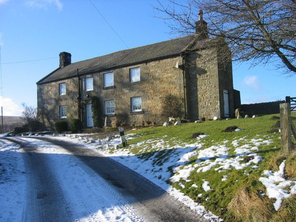
Boghead is a sixteenth-century bastle house in Tarset, Northumberland, United Kingdom. A bastle was a fortified farmhouse intended to shelter farmers and livestock from raids, with animals generally kept on the lower floor and people living above. Boghead’s precise construction date is uncertain. By the mid-to-late sixteenth century, Boghead and nearby bastles were already in existence, though some references may describe earlier dwellings rather than the fortified buildings themselves.
The Anglo-Scottish border had its own cultural and legal character. Livestock theft, blackmail and rivalries between local families shaped settlement and building in the region. Charlton, Milburn, Dodd and Robson were prominent family names in the remote North Tyne valley. Boghead’s farmers held their land and raised livestock; they may also have grown cereals and fodder crops, though they were not necessarily wealthy.
The 1583 raid and a local tale
In 1583, Boghead was named among the Tynedale settlements attacked by a force led by the Scottish border raider Kinmont Willie Armstrong. Thomas Scrope, 10th Baron Scrope of Bolton, passed a complaint by Bartrame Mylburne to the English statesman Francis Walsingham. The raiders numbered about 300. They burned most of the settlements named, seized livestock and horses, killed six people, wounded eleven and took thirty prisoners for ransom. Although most of the listed places were burned, the complaint does not establish that Boghead itself was.
A later local story tells of Barty Milburn and Corbit Jack pursuing Scots who had stolen Barty’s sheep. After losing the trail in Scotland, the pair took sheep belonging to others. Two Scots caught up with them and killed Jack; Barty killed both men and returned with the sheep, carrying Jack’s body. In the nineteenth century, historian Edward Charlton heard the tale from Muckle Jock Milburn, who claimed to descend from Barty. Charlton placed Barty’s home at Combe and did not name Jack’s home. He thought Barty had lived near the end of the seventeenth century. Barty may have been Bartrame Mylburne, named in the 1583 complaint, but that identification remains uncertain.
Agriculture, abandonment and preservation
The bastle and farmhouses formed a small hamlet, though they may not all have been built at the same time. The more developed design of a later farmhouse suggests it followed the first, perhaps using stone from it. Its position farther from the bastle may reflect a change toward farming and away from the need for defence. By 1663, the site belonged to the Hunter family’s properties and included twelve acres of arable land, meadow and pasture, as well as adequate shared grazing. It remained in use during the more peaceful decades that followed, but its omission from the 1770 land-tax register suggests it had fallen out of use by then.
Boghead lies among a concentration of bastles along Tarset Burn. A 1999 classification placed it at the northern end of a group of ten, while a 2008 survey identified Boghead, Shilla Hill and Black Middens as three bastles along the burn. Between 400 and 500 bastles were built in Northumbria. About 210 could be verified in 2011, and fewer than 300 survive. Boghead is regarded as nationally important for its relatively unmodified state and its place among other surviving bastles, which helps inform the study of early modern Northumberland.
Boghead became a scheduled monument in 1970, a legal designation protecting archaeological or historic places. The main bastle received Grade II listed status in 1988, recognizing its special architectural or historic interest. The Forestry Commission has carried out a small amount of restoration. The name Boghead, considered the more accurate form, appears on maps from 1841 and 1866. Other names include Corby Castle and Corbie Castle; Comb is also sometimes used, though it more commonly refers to a separate nearby site. Boghead and other local bastles now lie within Kielder Forest. The area was probably moorland with occasional agricultural sites from the late thirteenth century until woodland was planted in the twentieth century.
Remains
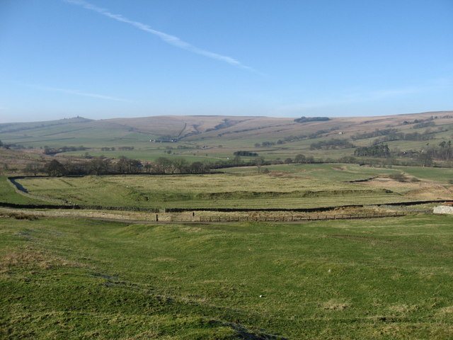
The site combines a thick-walled stone bastle with separate farm buildings and agricultural earthworks. It occupies a floodplain in the Cheviot foothills, where Tarset Burn meets Highfield Burn at the foot of a steep slope facing northeast. Marshy ground, standing water and channels surround the site. A river to the northwest, now dry, drained into Highfield Burn until the twentieth century; the changing watercourses suggest that the local river channels have shifted over time. Boghead is now in a forest clearing, though trees have previously been planted within the site.
The bastle
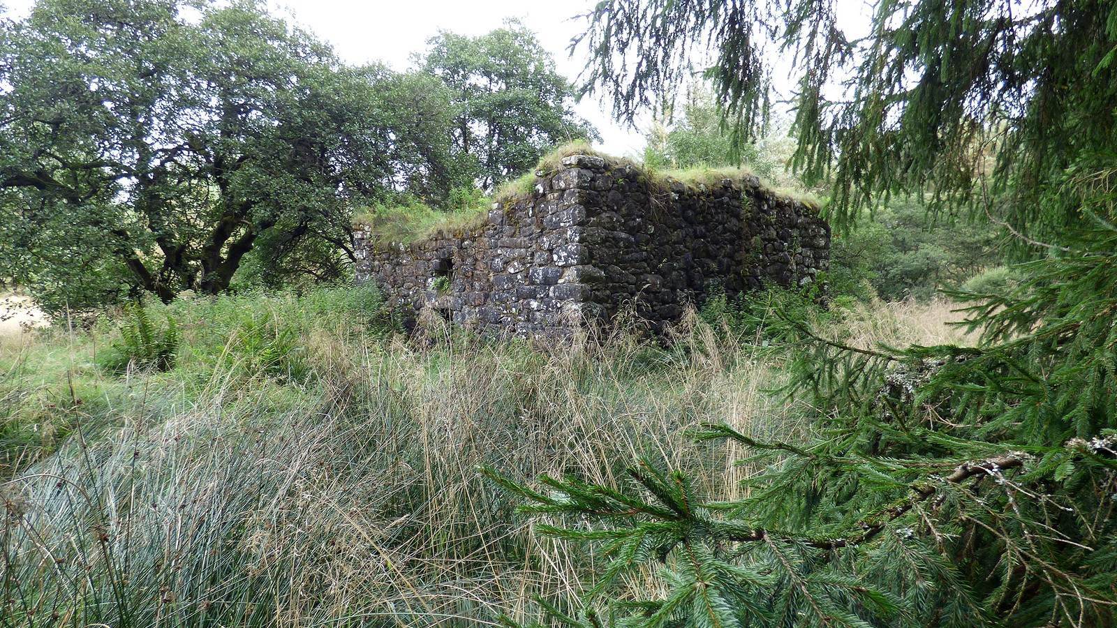
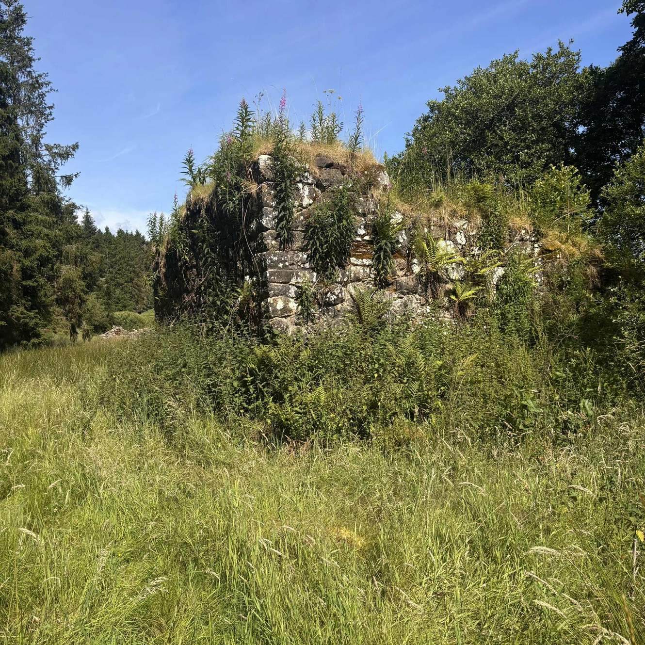
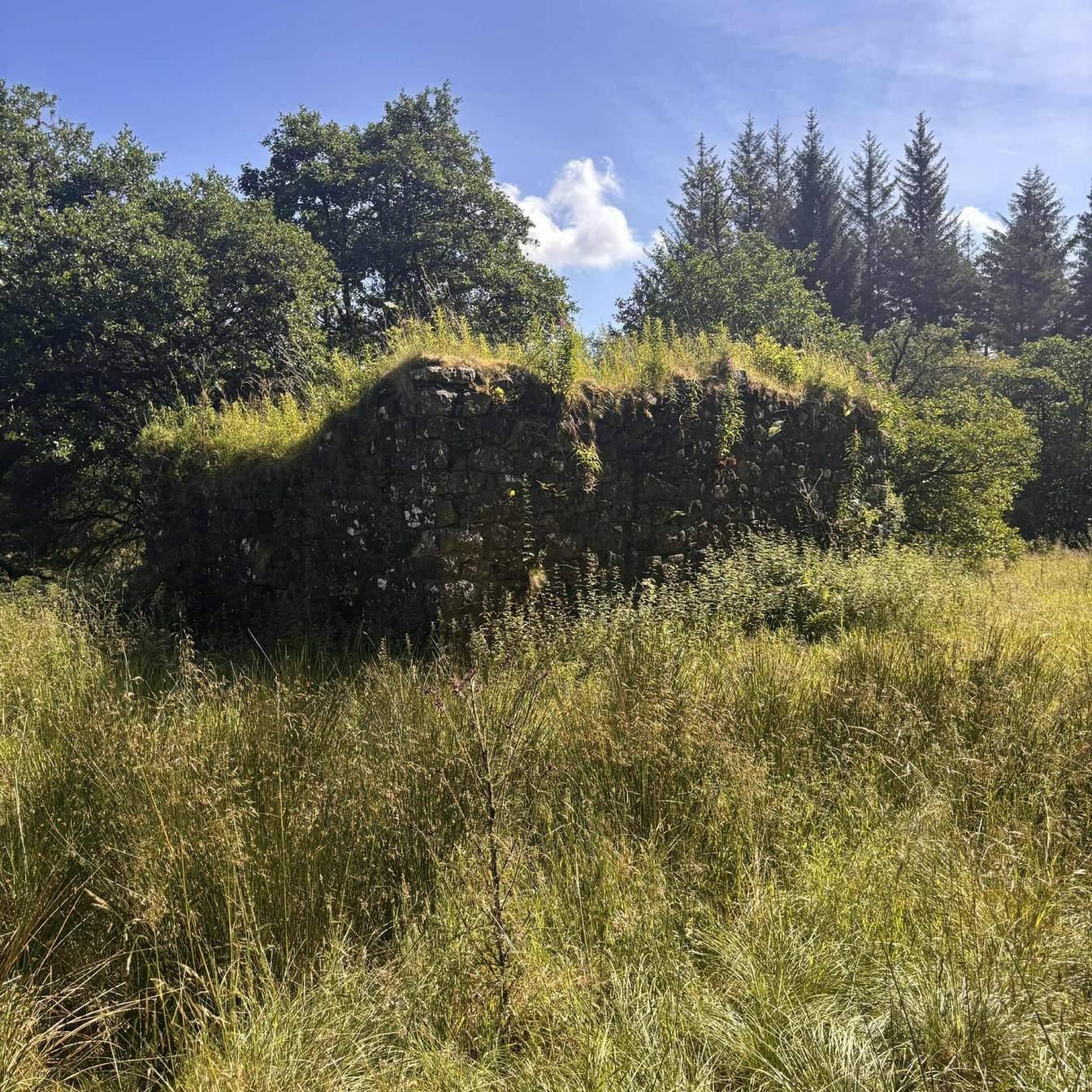
The rectangular bastle measures 9.6 by 7 metres externally and is aligned southeast to northwest. Its walls are 1.4 metres thick and built from large, roughly shaped stones, with rough boulders forming the corners. The southwest and northwest walls reach 4.5 metres at their highest points; the southeast and northeast walls stand between 2 and 4 metres high.
A ground-floor entrance in the west wall has a square top and rounded sides. It was fitted with two doors secured by drawbars. An opening tunnels through the wall above the doorway. Though sometimes called a murder hole, it was more likely a quenching hole, through which water could be poured to put out a fire at the entrance. The ground floor had a vaulted, or arched, ceiling, most of which has collapsed, and a narrow slit window is set in the east wall. The way to the upper living floor is uncertain; access may have been by wooden ladder or external staircase.
Farmstead and pastoral features
First farmstead
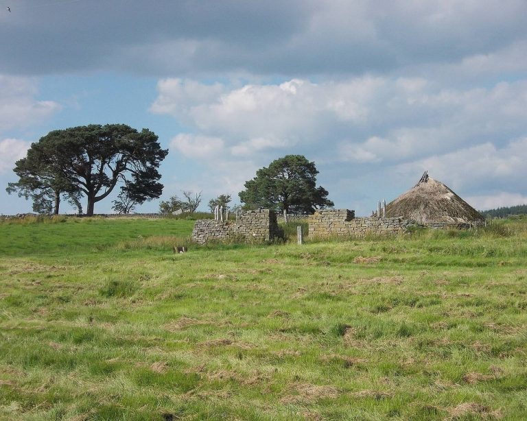
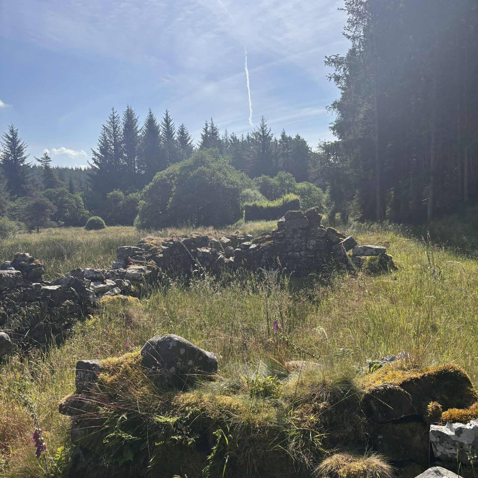
Immediately northwest of the bastle is a separate building aligned in the same direction. It measures 17.5 by 4.5 metres externally and 11.4 by 3.6 metres internally. Its remains consist of foundations beneath plant growth. The end walls are 1.4 metres thick and survive up to 0.7 metres high. Two rooms have no internal connection. An entrance leads into the larger, more substantially built room at the northeast end, while the smaller northwest room may have served as a cattle shed or other outbuilding. The farmstead appears to have stood apart from, rather than being attached to, the bastle.
Second farmhouse
Thirteen metres beyond the first farmstead is a second farmhouse, measuring 24 by 6 metres externally and 21.8 by 4.3 metres internally. The ruined building has three rooms, and its surviving walls reach 2 metres. A doorway in a partition wall was later blocked. This may have reduced the size of a room, turned it into an outbuilding or divided the house between occupants.
Sheepfold and shepherd’s hut
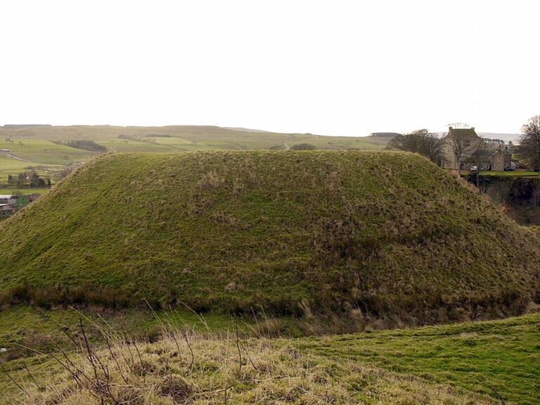
Earthworks beyond the second farmhouse mark a sheepfold measuring up to 12 by 23 metres. Its banks are 0.5 metres high and 2.5 metres wide. Earthworks immediately east of the fold may mark a shepherd’s hut, whose platform measures 4.7 by 5 metres.