Bielriet Castle: A Medieval Stronghold Guarding a Trade-Route Crossing
Site at a Glance
- Rating
- 2.8
- Popularity
- Very Low
- Country
- Germany
- Primary era
- Medieval
- Eras represented
- Medieval
- Civilizations
- Holy Roman Empire
- Site type
- Military
- Remains
- Castle
On this page5 sections
History
Bielriet Castle was a medieval castle on a ridge projecting northeast near Wolpertsdorf, a district of Schwäbisch Hall in Germany, built before 1057. It controlled a river crossing on the trade route between Schwäbisch Hall and Rothenburg ob der Tauber, as well as the steep approaches on both sides of the valley.
Early references and the Bielriet family
The castle’s name appears in records in 1057, when Adelbraht de Bilirieth witnessed a donation to Fulda. In 1085, Adelbertus de Bielrieth, perhaps the same person or his son, entered the Benedictine monastery at Comburg. The Benedictines were a Christian monastic order whose members followed the Rule of Saint Benedict. Adelbertus transferred property and rights to the monastery, including half of Bielriet Castle.
The free noble family of Bielriet may have been a branch of the counts of Comburg-Rothenburg. Its best-known member, Friedrich von Bielriet, held important offices in the service of Frederick I, Holy Roman Emperor, also known as Frederick Barbarossa. The family disappears from records after 1190 and probably died out in the male line. Adelheit, probably Friedrich’s daughter though possibly his wife, was a canoness, a member of a community of religious women, at Hohenburg. She appears in the Hortus Deliciarum (Garden of Delights), a medieval compendium probably produced by Herrad of Landsberg in the last quarter of the twelfth century.
Under Limpurg and Küchenmeister ownership
Around 1220–1230, Bielriet probably passed through marriage to an heiress to Walter I of Schüpf. He did not make the castle his residence. Instead, around 1230 he built Limpurg Castle near Schwäbisch Hall, and his family became known as the Schenken von Limpurg. The castle at Bielriet was probably occupied mainly by service nobles who carried out administrative or military duties for the family; some also used the name von Bielriet. One of them, Friedrich von Bielriet, served as imperial reeve of Schwäbisch Hall from 1273 to 1278. An imperial reeve was a local official with administrative and judicial duties under the emperor.
Around 1280, Bielriet belonged to Konrad of Limpurg, a poet and performer of courtly lyric. He defended his rights to the castle against claims made by his nephew Friedrich. Friedrich appears to have inherited it after Konrad’s death and sold it in 1287 to Heinrich Küchenmeister of Nordenburg. Heinrich’s heirs subsequently used the family name Küchenmeister von Bielriet.
Hohenlohe ownership and destruction
A sixteenth-century chronicle alleges that during anti-Jewish violence in Schwäbisch Hall in 1349, a Küchenmeister von Bielriet first sheltered survivors at the castle, then expelled them and kept their property. In 1352, Lupold and Dietrich Küchenmeister endowed a memorial Mass at the castle chapel, a service funded for the spiritual benefit of the dead. They sold Bielriet to Kraft of Hohenlohe in 1359. The castle was probably no longer inhabited after the sale, although a further endowment in 1369 indicates that the chapel remained in use.
At the request of Charles IV, Holy Roman Emperor and King of Bohemia, Kraft transferred several castles, including Bielriet, to Bohemia in 1361 and received them back as fiefs, lands held under a lord. In 1381, Kraft and Ulrich of Hohenlohe pledged Bielriet against debts to Eberhard Philipp, a nobleman of Schwäbisch Hall. They relinquished their rights in 1390, and Philipp sold the castle to the town council later that year.
The council destroyed Bielriet with gunpowder. King Wenceslaus IV, King of Bohemia and King of the Romans, imposed the imperial ban on Schwäbisch Hall for three years because the demolition had not been authorized. An imperial ban was a formal act of outlawry against a person or community. Wenceslaus approved the destruction in 1393. Later records called the site a Burgstall, meaning the location of a former castle, often one no longer standing.
Remains
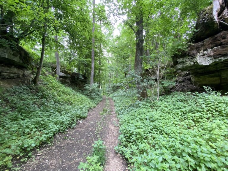
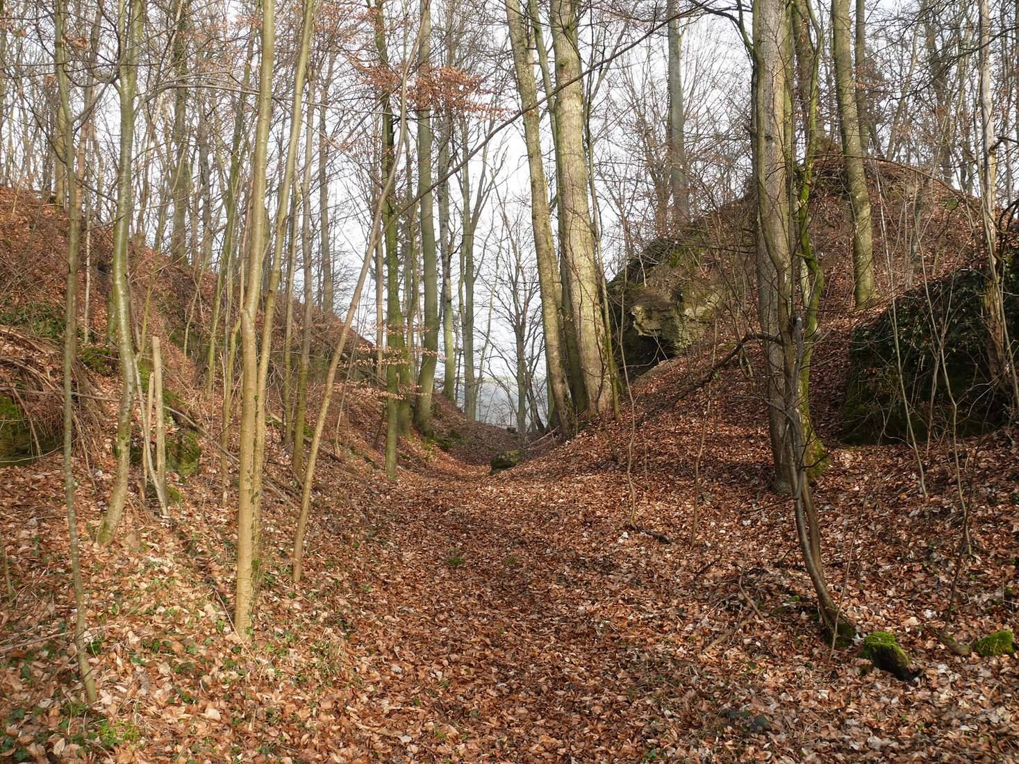
The castle stood at 404.6 metres above sea level on a ridge projecting northeast, about 140 metres above Cröffelbach in the lower Bühlertal. From the plateau, a shallow ditch runs north to south about 100 metres west of the ridge tip and fades before reaching the southern slope. Roughly 30 metres closer to the tip, the ground drops steeply in places to a ditch about 20 metres wide, cut into natural Upper Muschelkalk, a shell-bearing limestone formation. At the northern slope edge, this cut is now more than 10 metres deep.
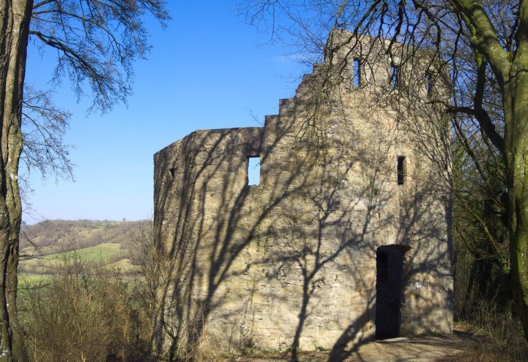
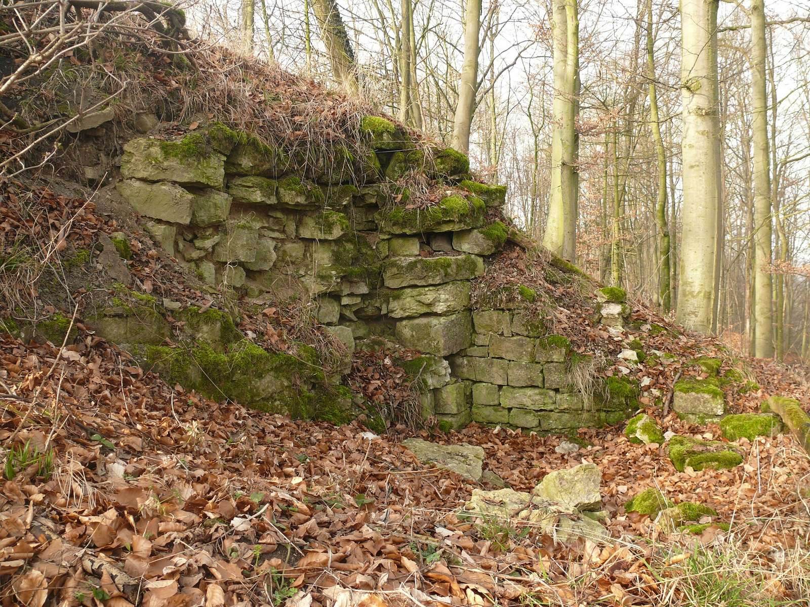
Beyond the deeper ditch, naturally formed rocks create an irregular line. Rubble and earth cover their sides, and the rocks probably rise little, if at all, above the plateau. On the valley side behind them, the castle ground was levelled and lies well above the ditch bottom. The northern and southeastern slopes descend abruptly. Only a small amount of masonry survives, and limestone was quarried at the site at a later date.