Armavir: An Ancient Armenian Capital and Archaeological Site
Site at a Glance
- Popularity
- High
- Country
- Armenia
- Primary era
- Iron Age
- Eras represented
- Bronze Age, Iron Age
- Civilizations
- Armenian, Urartian
- Site type
- City
On this page15 sections
History
Armavir is an ancient city site southwest of the modern city of Armavir in Armenia. Around 776 BC, the Urartian king Argishti I founded Argishtikhinili, a fortress-city and administrative, economic, and religious center on the eastern edge of the area. Armavir later became a capital of the Armenian kingdom after independence from the Achaemenid Empire was restored in 331 BC.
Early traditions and the Urartian city
People inhabited the Armavir region by at least the sixth millennium BC. A separate Armenian tradition, preserved by the fifth-century historian Movses Khorenatsi and dated to around 1980 BC in the chronology of the eighteenth-century historian Mikayel Chamchian, credits the city’s foundation to Aramais, a grandson of Hayk, the legendary ancestor of the Armenians. This traditional foundation predates the historically documented Urartian fortress-city.
From the sixteenth to the eighth centuries BC, the area was associated with Aza(ni), a political center in the kingdom of Etiuni. It later formed part of Urartu, an ancient kingdom centered around Lake Van. Argishti I established Argishtikhinili around 776 BC. Inscriptions of the Urartian king Sarduri II describe repairs and the building of palaces, shrines, and a triple defensive wall. Sarduri may have considered moving Urartu’s capital from Van to Armavir under pressure from Assyria, but his successors did not carry out the plan.
Armenian royal and religious center
After 331 BC, Armavir served as the capital under the Orontid dynasty, an ancient Armenian ruling house, and as a royal and religious-cultural center until 189 BC. Kings associated with this period include Orontes II, Hrant II, Artavazd I, Vagharshak I, Arshak I, and Orontes III. Artaxias I then made Armavir his capital from 189 to 185 BC. Afterward, it remained a royal city for heirs to the Armenian throne until Tiridates III transferred it to the Kamsarakan noble house.
Armenian historical tradition connects Armavir with worship of the sun, moon, and ancestors. It describes a temple to Mihr, a deity associated with the sun, and statues representing the sun, moon, and ancestors. A sanctuary on the hilltop has also been identified with Anahit, a major Armenian goddess, though the interpretation of the summit ruins is disputed. Before Armenia adopted Christianity, Armavir was regarded as a religious center.
Khorenatsi’s account places the Parthian king Valarsace at Armavir around 149 BC. In this story, Valarsace established a temple and urged Smbat, a Bagratuni prince whose title meant knight, to abandon his religion and worship idols. Smbat refused. Another tradition attributed to Khorenatsi says that Tigranes II settled Jewish captives from Palestine at Armavir and Vardges. The captives were later moved from Armavir to Yervandashat, and then to Artashat.
During the Hellenistic period, an era of Greek cultural influence following Alexander the Great, Armavir had royal and temple archives or libraries. Royal collections held correspondence, decrees, and state papers, while temple collections contained religious, ritual, historical, and mythological writings. The suggestion that the temple collections included Armenian-language texts written in a script used before the Mashtots alphabet remains uncertain.
A theatre is traditionally associated with the southern slope of the hill. Around 69 BC, Artavazd, later King Artavazd II, is credited with organizing performances, Navasard festival games, and horse races involving participants from across Armenia. The proposed theatre’s physical evidence and importance have been interpreted in different ways.
Imperial rule and medieval decline
Over the course of antiquity, Armavir came under Seleucid, Parthian, Roman, Sasanian, and Byzantine control. In the sixth century AD, after Roman forces defeated the Sasanian Empire, Armavir and much of Armenia came under Roman administration. Arab conquest followed in 645, and Arab rule continued until the early ninth century.
From the eighth century, Armavir served as a center for noble houses; from the ninth to the thirteenth centuries, it was a town. The city was destroyed in 1242. The smaller settlements of Aliso and Blur survived as temporary communities into the seventeenth century. In 1603, under Safavid ruler Abbas I, Armenians from Armavir were resettled in Persia, and the ancient city was finally abandoned. Seven Armenian families founded a new village about a kilometre east of the old site in 1613. The surrounding region later passed between Ottoman and Persian control.
Destruction and archaeological investigation
Treasure seekers damaged the old city’s buildings between the thirteenth and eighteenth centuries. From 1719, the sardar, the Persian-appointed commander of Yerevan, ordered Armavir’s surviving walls and remains of its citadel and temples removed for stone to build Sardarapat fortress on the plain. Construction using this material was especially active from 1789 to 1819. Local Armenians also took stones from the ruins for their houses.
Partial excavations began in 1880, followed by systematic archaeological work from 1962 onward. Excavations and chance discoveries have brought to light inscriptions and other remains from several periods, including a group of Elamite tablets found in the citadel in 1988.
Remains
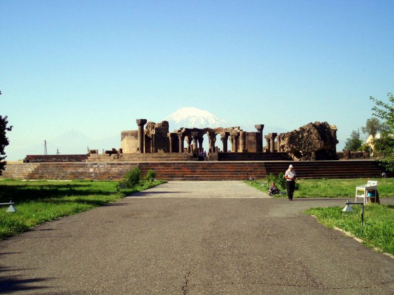
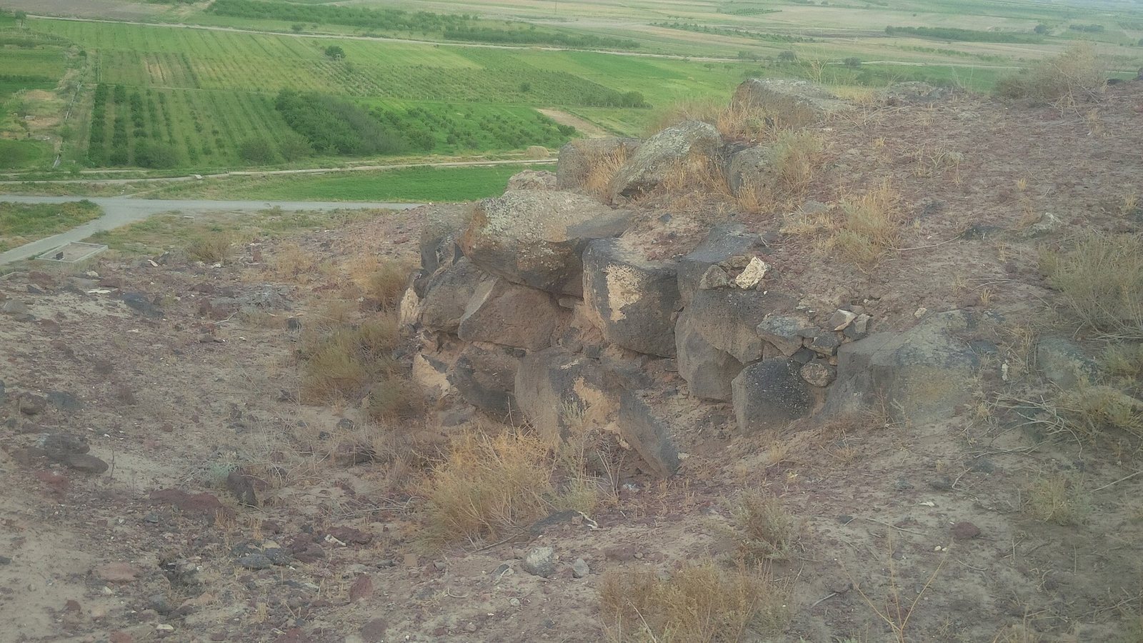
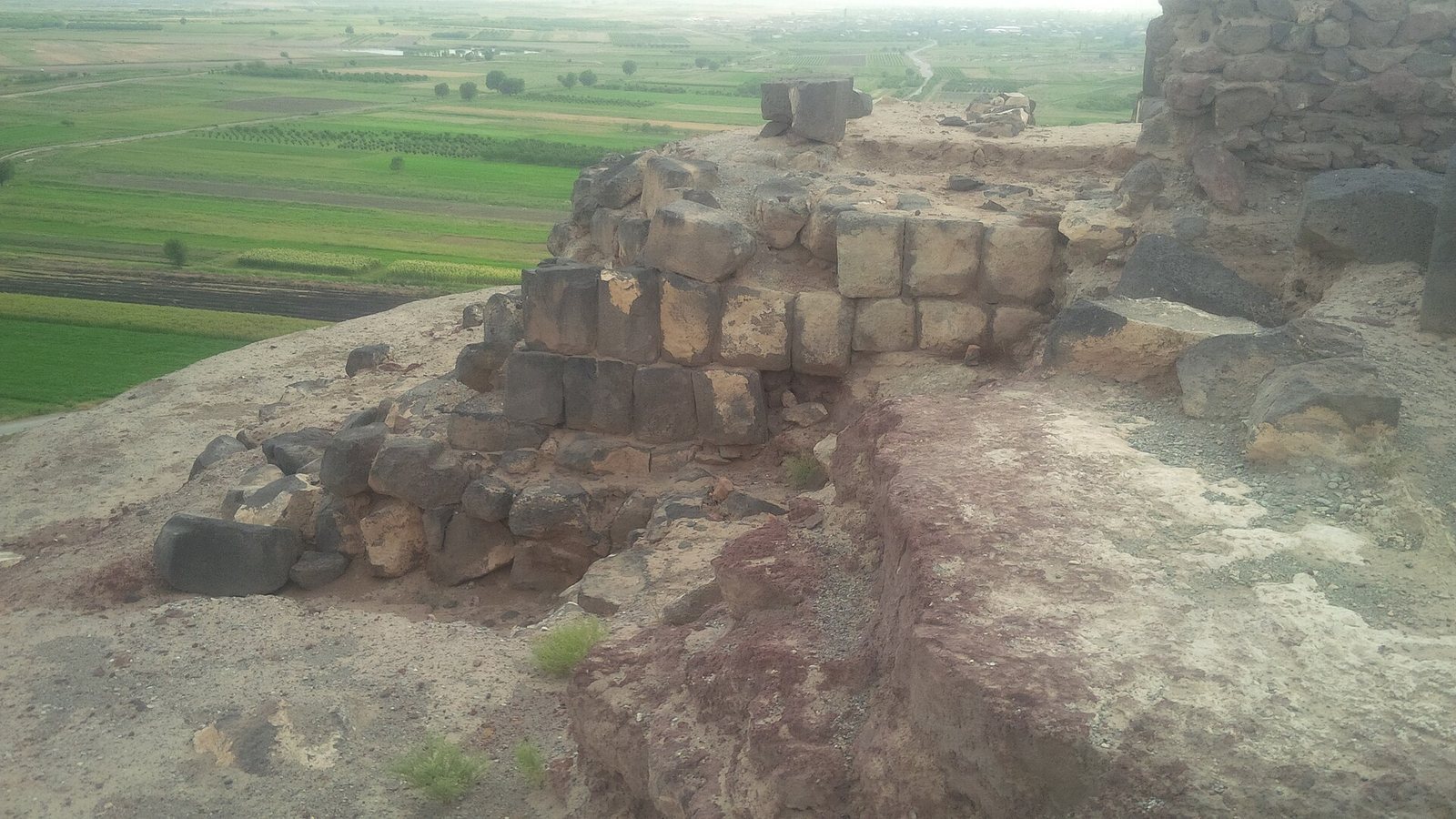
The ruins occupy two hills and the surrounding plain, about seven to eight kilometres southwest of the modern city of Armavir. Reconstructions of the ancient city’s extent and arrangement differ. One places the principal residential area on and around the eastern hill, with the citadel, major religious and public buildings, service structures, and three lines of defensive walls on the hill. Canals and irrigation channels also formed part of the defensive system.
City plan and defensive landscape
One estimate places the city’s area at more than 10,000 square metres. A broader proposed extent, based partly on where stone inscriptions have been found, reaches the territories of 12 to 14 present-day villages. In this reconstruction, Mokhrablur-Kyultapa marked the eastern approach, a bridge on the Alashkert–Armavir–Haykavan road formed the northern limit, hill ranges near Amasia, New Armavir, and New Amasia marked the west, and the Yeraskh, or Arax, River bounded the south.
Agricultural land, barracks, stables, smithies, and other craft and storage facilities occupied areas between the hill and the surrounding channels. A large artificial plane-tree forest also extended around the city, covering more than 1,000 hectares and watered by channels that formed part of the defensive system. Plane trees predominated, and trunks have been unearthed during cultivation. Tradition attributes the forest’s establishment to Armenak, also called Aramanak, an ancestral figure in Armenian legend. It is believed to have lasted from the twenty-fifth century BC to the second century AD. The Greek-era geographer Claudius Ptolemy may have visited and admired it.
Mokhrablur-Kyultapa settlement
Mokhrablur-Kyultapa lies about 1.5 to 2 kilometres east of Armavir’s hill, at the boundary of the villages of Armavir and Arevik. It may have served as the city’s eastern entrance; residents recalled wall remains there before 1953. Archaeologist Emma Khanzadyan excavated the settlement and interpreted it as a build-up of construction layers dating to the third millennium BC.
Excavations revealed round mud-brick houses with clay floors, alongside burnt grain, ears of wheat and barley, grinding stones, grain pounders, and bones of cattle and smaller livestock. The finds point to metalworking, leatherworking, pottery, weaving, stoneworking, and boneworking. Weaving equipment included bone spindle whorls, needles, and loom weights. Hearths had round, horseshoe-shaped, horned, and tripod supports. Other finds include large clay vessels, deep basins, bowls, and spoons. Pottery commonly had a black surface with a silvery sheen and designs of birds, spirals, pits, and raised forms; some pieces had matte surfaces.
Eastern hill and sanctuary
Ruins on the eastern hill’s summit have been variously interpreted as an ancient or Armenian temple, a sanctuary, a monumental temple, or a Urartian temple. The summit has also been associated with a temple of Anahit and a statue of the Armenian Mother of the Gods. Greek inscriptions were found near the temple’s facade. Two carvings described as star maps, dated to the fifteenth through twelfth millennia BC, are associated with the hill, as is the Sacred Stone. The stone was found in the nineteenth century near a large cave on the northern slope, close to the Armavir–New Artagers road. Its interpretation is disputed. A later Armenian-Italian archaeological expedition connected the hill with settlement from the late fourth millennium BC and with a religious complex. Cave areas also contain traces of construction using large, roughly worked stones.
Proposed theatre
The proposed performance area extended along the southern slope, from the vicinity of a large cave toward the Yeraskh River, with the summit identified as its upper end. Theatre masks, traces interpreted as an ancient auditorium or arena, and four Greek-language inscriptions have been associated with the theatre. Studies of the proposed structure began in the 1950s.
Inscriptions and written records
Urartian inscriptions
More than a dozen inscriptions from different periods have been found on the two hills and in the surrounding area. Urartian examples include a 28-line inscription of Argishti I from Shahriar, near present-day Nalbandyan, and a 14-line inscription of the same king found at Sardarapat fortress. Two 13-line fragments from Tapadibi, near present-day Haykavan and Armavir, are parts of a larger text. Other finds include inscriptions of Argishti I on the hill and of Sarduri II at Janfida, on the hill, and in Armavir village.
Further Urartian texts include an inscription of Sarduri II from Bambakashat–Mollabayazet about a temple and gates dedicated to Haldi, a principal Urartian deity. An eight-line stone found at Bambakashat in 1881 continues on another eight-line stone found at Talish. Other inscriptions have come from Bambakashat and the New Armavir area.
Greek inscriptions
Third-century BC Greek inscriptions include poetry attributed to Hesiod, lines from Euripides, a list of Macedonian calendar months, and the names of Orontid kings. An inscription associated with Artaxias I concerns his coronation, the looting of Anahit’s temple by Greek mercenaries, and the Greek calendar. It was found near the hilltop temple area and is badly damaged. In 1911, another Greek-script inscription was found on the southern slope near the temple. Cut into a grey, marble-like basalt stone measuring 1.5 metres high and 1.75 metres wide, it bears three inscriptions.
Elamite tablets and archive finds
The three Elamite clay tablets excavated in the citadel in 1988 comprise one intact tablet and two damaged ones. They are described as the only Elamite inscriptions found in the Armenian Highlands. Archaeologist G. Tiratsyan identified their language as Elamite; specialists connect the largest text with Gilgamesh and Siduri. A proposed link between the tablets and a dramatized wedding celebration of Sarduri II is uncertain.
A separate cuneiform inscription, probably from a citadel archive or library, was found in 1880 and taken to Georgia by archaeologist Mesrop Smbatyants; it is now in Tbilisi. Other finds include around fifty damaged or erased cuneiform inscriptions, charred scrolls, short cuneiform notes on wine and grain jars, and ceramic figurines.
Other finds and reused stone
Excavated material also includes obsidian tools, bronze objects, pottery, ceramics, tools, jewelry, and coins. Some finds from the ancient city are displayed in the Armavir Archaeological Museum. Stones from the citadel and other ruins were reused in Sardarapat fortress and in houses, gravestones, churches, and chapels in nearby villages, including Armavir, Haykavan, Aigeshat, Tandzut, New Artagers, Norapat, Bambakashat, Nalbandyan, Jrashen, New Armavir, and New Kesaria.