Ark of Bukhara: The Historic Citadel of Uzbekistan


Site at a Glance
- Rating
- 4.6
- Popularity
- Medium
- Country
- Uzbekistan
- Primary era
- Early Modern
- External website
- Open
- Eras represented
- Classical, Medieval, Early Modern, Modern
- Civilizations
- Emirate of Bukhara, Khanate of Bukhara, Sogdian
- Site type
- Military
- Remains
- Citadel
On this page15 sections
History
The Ark of Bukhara is an ancient citadel in Uzbekistan and the oldest architectural and archaeological monument of Bukhara. It developed as a fortified residence that was repeatedly enlarged, rebuilt, and supplemented over earlier structures. The ruins of successive buildings helped create the artificial mound on which the fortress stands. Its history reaches from early traditions and ancient defensive works through the courts of Bukhara’s later ruling dynasties, the destruction of 1920, and modern archaeological investigation.
Origins and Early Fortifications
Foundation traditions connect the Ark with Siyavush, a tragic heroic figure of Persian epic tradition, or with Afrasiab. One legend places Siyavush’s grave near the eastern gate. These stories belong to the traditional memory of the site rather than to an archaeologically established biography. The earliest historical descriptions, preserved through Narshakhi and later compilations, attribute the citadel’s construction to a ruler named Bidun. They also describe a repeated cycle of destruction and rebuilding.
By the fifth or sixth century, the expanded fortified residence had become a major fortress with western and eastern gates. During the Kushan period, a settlement developed southeast of the Ark and eventually grew into a regularly planned shahristan, the principal urban settlement or inner city. The citadel therefore stood within a developing urban landscape rather than as an isolated stronghold.
The Bukharkhudat and Early Islamic Periods
In the seventh century, the fortifications were reconstructed and a new palace of the Bukharkhudats, the pre-Islamic rulers of Bukhara, was built inside the citadel. Narshakhi described its plan as reproducing the arrangement of Ursa Major, a prominent northern constellation, for magical purposes. The palace complex included chancery buildings, a treasury, a prison, and a temple.
In the eighth century, Qutayba ibn Muslim converted the temple into a mosque. The first mosque of Bukhara was built in the Ark in 713 on the former temple site. At the end of the eighth century, it was transferred outside the citadel, to the area between the Ark and the shahristan. This change linked religious activity more directly with the expanding urban settlement.
The Samanid and Medieval Transformations
During the Samanid period, a Persianate dynasty that ruled much of Central Asia in the ninth and tenth centuries, Registan Square was established between the Ark’s high western facade and the wall of the rabat, an outer urban district. A palace with a portal facing the Ark was built on the square. Al-Istakhri regarded this portal as the most magnificent in the Islamic lands.
The citadel experienced repeated destruction and rebuilding during the medieval period. Historical traditions describe rebuilding under the Bukharkhudat Bidun after an ancient destruction and construction under the Karakhanid ruler Arslan Khan after a second destruction. The Khwarazmshah Ala al-Din Atsiz destroyed the Ark in 1140, after which Ali-Tegin rebuilt it in 1141 and 1142. The Oghuz destroyed it again, and Ala al-Din Muhammad II rebuilt it in 1207. Mongol forces destroyed the citadel during the siege of Bukhara in 1220, when the city’s inhabitants were killed. The largest recorded repair before the modern period took place in 1164 and 1165.
The Ark was also associated with the scholars and poets Rudaki, Avicenna, and, later, Omar Khayyam. Rudaki was an early Persian poet, while Avicenna was a Persian polymath and physician of the Islamic Golden Age; Omar Khayyam was a Persian mathematician, astronomer, and poet. A major library was housed in the citadel and was probably looted during one of the wars.
The Timurid Succession
In spring 1405, after the death of Amir Timur and before the resulting succession struggle, Mirzo Ulugh Beg and Ibrahim Sultan took refuge in the Ark with their treasury and guardians. They remained for a month and strengthened the city’s walls and gates. Chronicles from that time still referred to both eastern and western gates.
Ashtarkhanid and Manghit Expansion
From the seventeenth through the nineteenth centuries, the Ashtarkhanid and Manghit dynasties expanded the Ark. Said Nasir, the son of Emir Muzaffar, described many of these buildings in a 1921 study based on his long residence in the citadel. Later restoration work revised some of his dates.
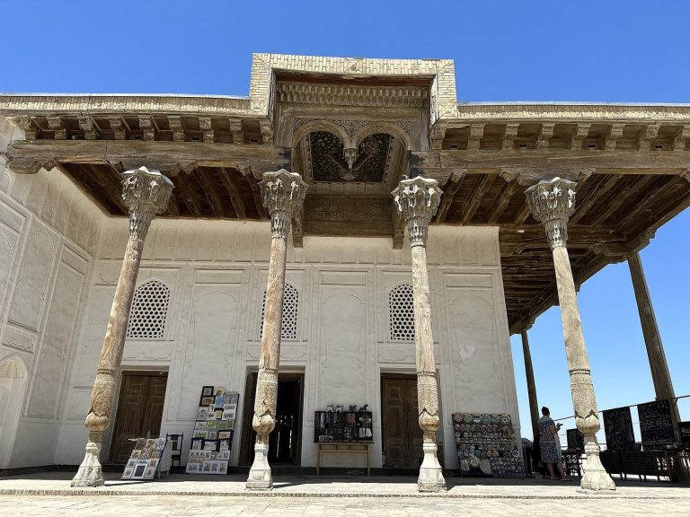
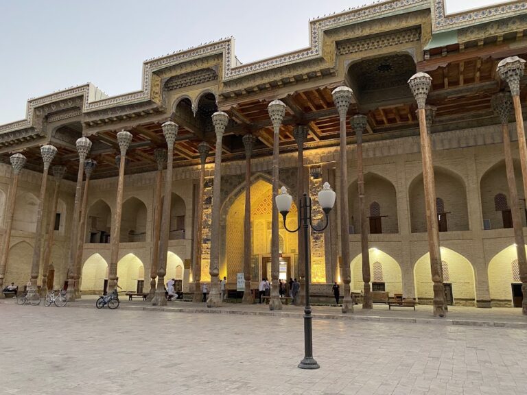
Under Abdulaziz Khan, who ruled from 1645 to 1681, a three-storey naqqorakhana, a building for ceremonial musicians or drummers, was constructed above the entrance gate. During the rule of Subhan Quli Khan, from 1681 to 1702, the reception hall, Friday Mosque, and guest hall were built.
Muhammad Rahim ruled from 1756 to 1758. During his reign, the Childukhtaran Mosque was built in the northeastern corner beside the mausoleum of Sayyid Abdalghazi, also called Battalghazi, who was regarded as a descendant of Caliph Ali. A large communal grave nearby contained the remains of seven sons of Abulfayz Khan, who ruled from 1711 to 1747. In December 1756, Muhammad Rahim commissioned a new high building to receive the throne because of the cold weather.
Emir Shahmurad, who ruled from 1785 to 1800, demolished many older secular buildings and reused their materials for mosque construction and repairs outside the Ark. Emir Haydar, who ruled from 1800 to 1826, added a west-facing reception hall beside Muhammad Rahim’s residence and built a large khanaka, a building associated with Sufi religious life, together with a well and flower garden.
Under Emir Nasrullah, who ruled from 1827 to 1860, another reception hall with a basement was built opposite Muhammad Rahim’s residence. Emir Muzaffar, who ruled from 1860 to 1885, added a house for Russian envoys. During the rule of Emir Abdulahad Khan, from 1885 to 1910, a stone arsenal and a gunpowder storehouse were constructed.
Destruction in 1920 and Later Investigation
During the siege of Bukhara in 1920, Bolshevik forces under Mikhail Frunze bombed the Ark from aircraft until its defenders surrendered. Much of the fortress became a field of ruins. The emir’s harem was so severely damaged that archaeologists judged it incapable of restoration. After the Bukhara Emirate was abolished and the emir fled, a fire burned in the Ark for four days.
Some buildings survived during the first decade after the destruction. The northeastern quarter remained relatively little damaged in 1925 and 1927, when Soviet institutions occupied part of the citadel. During the period of the Bukharan People’s Soviet Republic, the western wall was restored, and the Society of History was established to prepare a history of the Ark.
Partial archaeological investigations took place in the 1970s and 1980s. In 1970 to 1974, a specialist team working under the general direction of Ya. G. Gulyamov of the Uzbek Academy of Sciences excavated upper layers across an area measuring 120 by 100 metres. These deposits belonged to the sixteenth through the beginning of the twentieth century. In 1979 and 1980, a 6-by-6-metre stratigraphic sounding reached natural ground for the first time in the archaeological study of the Ark. Its cultural deposits exceeded 20 metres in thickness, with about one-third below ground level.
Restoration was undertaken in preparation for Bukhara’s 2,500th-anniversary commemorations on the initiative and under the direction of Uzbek President Islam Karimov. The Ark now forms part of the UNESCO World Heritage property listed as site no. 602 and is occupied by the Bukhara State Architectural and Artistic Museum-Reserve.
Remains
Fortress Mound and Walls
The Ark is a large earthen fortification on a relatively flat artificial elevation in northwestern Bukhara. Its plan forms an irregular rectangle slightly elongated from west to east. The walls measure 789.6 metres in length, the interior covers about 3.96 hectares, and the elevation rises between 16 and 20 metres above Registan Square. Steeply falling sides strengthened the defensive character of the mound.
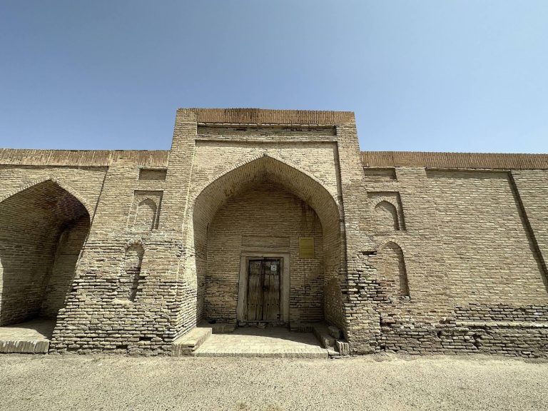
The fortress historically had western and eastern gates. The eastern gate was later destroyed, while the surviving entrance lies in the western wall and faces Registan Square. More than 20 metres of cultural deposits are incorporated into the foundations and successive wall systems. These layers represent fortifications that were built, destroyed, and rebuilt on the same mound.
Western Entrance
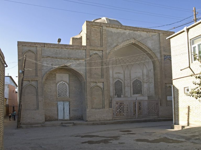
The ceremonial entrance is flanked by two eighteenth-century towers. Their upper sections are joined by a gallery containing rooms and balconies. A gradually rising takhtapul, or raised entrance ramp, passes through the gate and continues into a long covered passage leading toward the Friday Mosque.
The entrance passage also gave access to storehouses and prison cells. Fired brick was used in the ramp, the gate structures, and the naqqorakhana above the entrance. Other important fired-brick components included the covered passage, the Friday Mosque, the khanaka, the treasury basements, the walls of the throne hall, the mausoleum of Sayyid Battalghazi, and a small madrasa in the northeastern corner.
Surviving Buildings and Administrative Areas
A large complex of buildings occupied the centre of the citadel. Structures that survived in or near the western part during the Bukharan People’s Soviet Republic included the entrance ramp, gate, naqqorakhana, covered passage, Friday Mosque, part of the kushbegi offices, the base of the coronation hall, the qari-khana, the courtyard and buildings of the salomkhana, parts of the sais-khana, partly ruined and filled-in treasury basements, the southern khanaka, and the eastern mausoleum. A kushbegi was a senior official associated with administration and court affairs. The precise functions of the qari-khana, salomkhana, and sais-khana are not fully clear from the surviving description.
By 1940, most of the citadel was an open wasteland with scattered and incompletely preserved foundation traces. The surviving structures occupied less than one-tenth of the Ark’s area. The buildings of the Ashtarkhanid period and the Manghit period were principally made with wooden frames filled with unbaked brick or mud brick and covered with plaster. Simpler buildings used a single-row frame, while more elaborate structures used a double-row frame.
Northeastern Quarter
The northeastern quarter was formerly a dense group of buildings connected by labyrinthine suites of rooms. Each suite reportedly had distinctive decoration. One room, possibly part of the kushbegi’s harem, contained a small courtyard pool measuring approximately 2 by 2 metres and a large tree.
The Childukhtaran Mosque occupied the northeastern corner beside the mausoleum of Sayyid Battalghazi. Small courtyards and houses beside the khanaka served as quarters for Sufis and the imam. Houses for ghulombacha guards ran along the entire eastern wall.
Water Systems
Ancient water may have reached the Ark through the underground Tazar channel, which ran from the former Khoja Nihol Madrasa to the southern wall. A concealed passage, or obduzd, may have connected the citadel beneath the wall to the channel, and a covered cistern, or sardoba, may also have formed part of the system.
A well beside the khanaka supplied water for irrigating a flower garden. A channel from the Lisak hauz, a reservoir, could be opened when necessary. Water for the garden was raised from a nearby reservoir by the Charkhi Falak, a water-lifting wheel.
Buried Defensive Walls
The 1979 to 1980 excavation exposed two substantial mud-brick defensive walls deep within the mound. The upper wall lay at a depth of 13 to 15.5 metres, survived to a height of 2.5 to 3 metres, and was dated by pottery to the fourth or fifth century AD. The lower wall lay at 16.5 to 18.5 metres, survived to 2 to 2.5 metres, and was dated to the fourth or third century BC. They were identified as remains of Bukhara’s earliest fortress wall and provide evidence for the city’s formation.
A complete section through the fortress walls showed that the earliest wall in the northern part consisted of several layers of pakhsa, a compacted earthen building material, and blocks of the same material. Each layer was 0.9 to 1 metre high and 0.7 to 0.75 metres thick, while the wall’s width ranged from 2.75 to 7.5 metres.
Museum Collections
The Bukhara State Architectural and Artistic Museum-Reserve occupies the citadel’s surviving spaces and basement rooms. Its history department, operating since 1923, covers the earliest periods through the beginning of the twentieth century and includes an archaeology sector with approximately 14,000 exhibits. The numismatics and epigraphy department, established in 1987, holds 19,880 items, including coins recovered from excavations in Bukhara and its region.
The natural-history department has operated since 1951 and holds 536 exhibits. The modern history and ethnography department, established in 1975, contains approximately 36,000 exhibits, including documentary and sound-recording collections and material-culture objects. Displays include a Timurid coin, a banknote from the Bukhara Emirate, a Bukhara soldier’s uniform, Iranian pottery, a book about the life of the Prophet Muhammad, and a nineteenth-century Torah from Bukhara.