Archaeological Park of Antigona: An Ancient Greek City in Albania
Site at a Glance
- Rating
- 4.4
- Popularity
- Low
- Country
- Albania
- Primary era
- Classical
- Eras represented
- Classical, Medieval
- Civilizations
- Ancient Greek, Byzantine
- Site type
- City
On this page17 sections
History
The Archaeological Park of Antigona in Albania preserves Antigonea, an ancient Greek city near Gjirokastër founded in the 3rd century BC. Commonly dated to 295 BC, its foundation is usually attributed to Pyrrhus of Epirus, a Hellenistic ruler who fought Rome and Macedonia, although Antigonus II Gonatas has also been proposed. An earlier settlement that Pyrrhus later renamed may have occupied the hill before the city was established.
A Chaonian regional centre
Antigonea stood in Chaonia, an ancient region of Epirus associated with the Chaonians, and became their chief inland city. Its position controlled routes through the mountains toward the sea and overlooked the wealthy rural district of the Drino Valley. The wider defensive network included fortified settlements at Lekli to the north, Labova to the east, and Selo to the south.
The city became involved in the conflicts that shaped the western Balkans during the 3rd and 2nd centuries BC. In 230 BC, an Illyrian force led by Scerdilaidas passed near Antigonea while moving to join an invading army farther south. During the Second Macedonian War, the Macedonian general Athenagoras occupied a nearby pass in 198 BC and delayed the Roman advance. Shepherds who betrayed the Macedonian position then enabled Roman forces to surround and destroy a force of about 2,000 men.
Destruction and later occupation
Antigonea supported the Macedonian side in the conflict. After Rome defeated Macedonia in 167 BC, the Roman consul Aemilius Paullus ordered 70 Epirote towns to be burned, including Antigonea. The city was not rebuilt after its destruction and had functioned as an urban settlement for less than two centuries.
Occupation nevertheless continued during late antiquity, the later Roman world conventionally covering approximately the 3rd through 7th centuries AD. Archaeological evidence places inhabitants at Antigonea in the 4th to 6th centuries AD, although later written sources do not mention it as a settlement. An early Christian church was destroyed during Slavic attacks in the 6th century. A small medieval church was later built at the principal crossroads during the 9th or 10th century, after the ancient city and its earlier urban system had been destroyed.
Identification and protection
Ancient writers including Polybius, Livy, Pliny the Elder, and Ptolemy mentioned Antigonea, but the location of the city remained disputed for decades. Excavations in the 1970s produced evidence identifying the hill settlement as Antigonea, with the Albanian archaeologist Dhimosten Budina receiving principal credit for the identification. An Albanian-Greek archaeological team continued the investigation. The settlement is now protected as a National Archaeological Park. The inhabited city covered approximately 45 hectares within its 3rd-century fortifications, while another estimate places the area inside and outside the walls at about 60 hectares. The archaeological park itself extends over more than 90 hectares.
Remains
Hilltop fortifications and urban layout
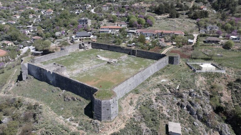
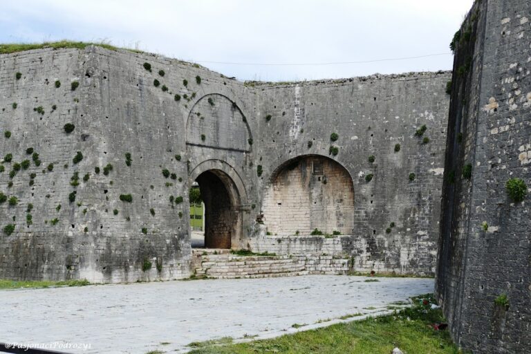
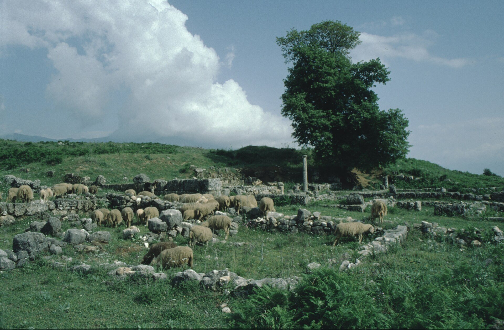
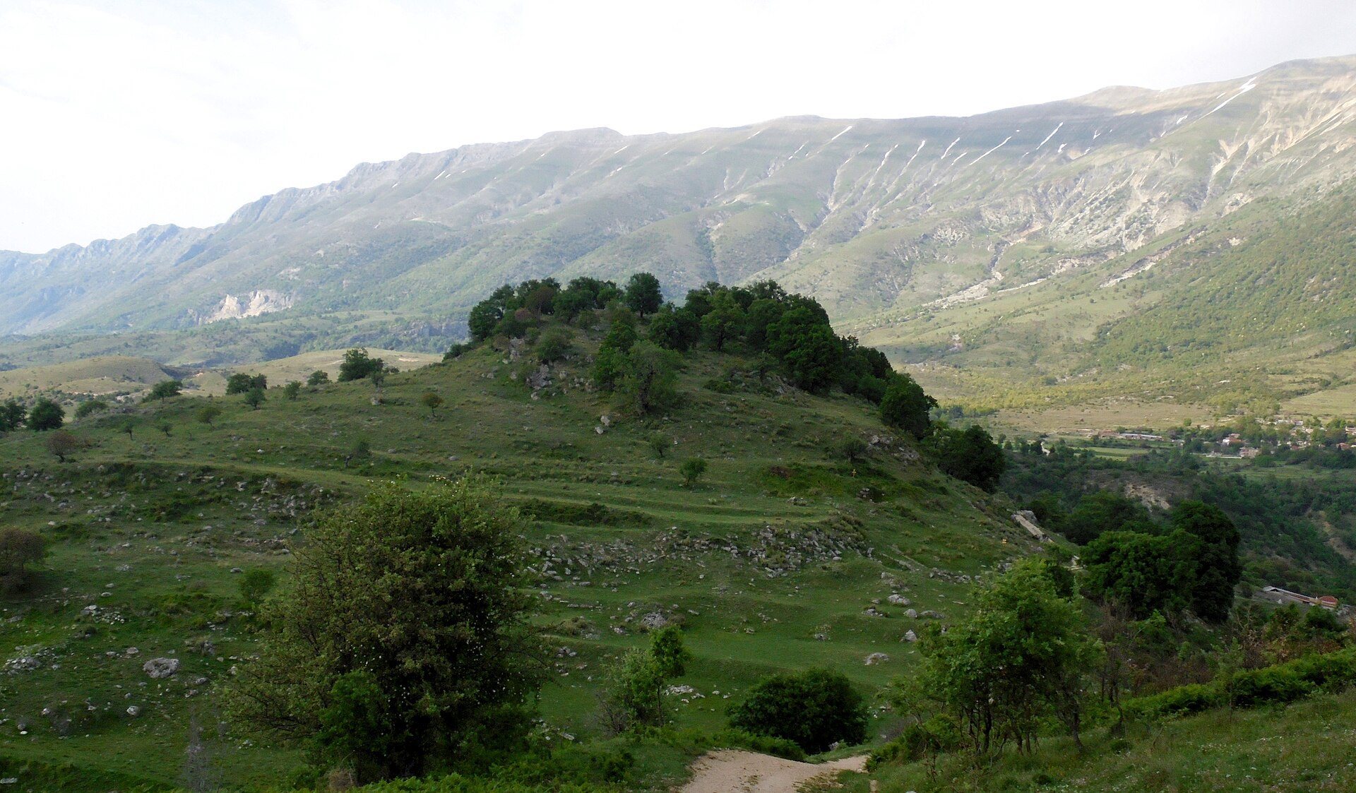
Antigonea occupies the hill of Jerma, southwest of Saraqinisht, between two peaks joined by a narrow pass and overlooking the Drino Valley. The northern peak reaches about 700 metres above sea level and has a small summit field, while the southern peak rises to about 600 metres and consists of folded terraces. Solid walls approximately 4,000 metres long enclosed the hill completely. The most visible entrance lies in the southwest, and the best-preserved stretch runs along the southern end of the city, ending at the early Christian church. Large and medium-sized limestone blocks, quarried from Mount Lunxheria, formed the fortifications and most of the excavated house walls.
Summit corridor
A corridor about 4 metres wide connected the highest hill with the settlement. Two parallel walls, about 3.50 metres thick and up to 3 metres high, bordered this route. A northern hill within the city is conventionally called the Acropolis, although Antigonea apparently did not possess a true acropolis. A post-medieval church dedicated to St. Michael occupies its highest point.
Streets and residential blocks
The central hill contained a level urban area arranged on a Hippodamian plan, a regular grid of intersecting streets. North-south roads crossed east-west routes, with the north-south streets being wider, more heavily paved, and more important. Some retain visible channels for rainwater. The principal excavated street, named for Dhimosten Budina, was about 6 metres wide and extended for at least 1 kilometre between the northern and southern entrances. Residential blocks, or insulae, bordered the roads, and excavations revealed stone paving, other pavements, sewage pipes, and a tunnel connected with a market building.
Peristyle houses
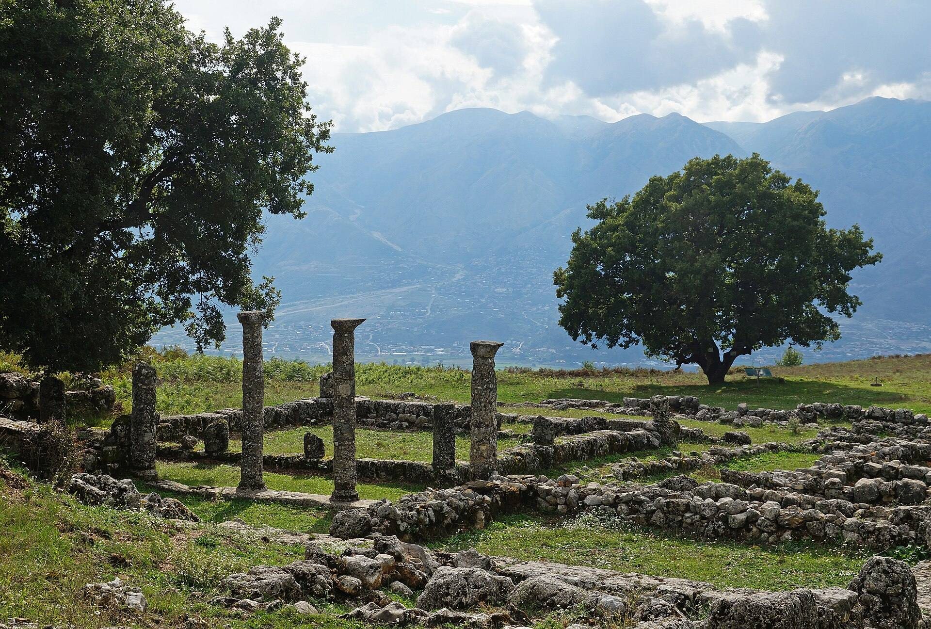
The houses included peristyle dwellings arranged around inner courtyards enclosed by columns, with living and working rooms around them. Their lower walls used cut stone blocks, while the upper portions were probably made from raw brick or adobe. Several houses received names associated with craft activity, including the currier’s house, the handloom weaver’s house, and the coachman’s house. An iron chariot wheel came from the coachman’s house.
Civic and commercial buildings
Agora and inner stoa
The agora, the city’s civic and commercial centre, occupied the western part of Antigonea above the Drino Valley. A stoa, a roofed colonnaded building or promenade, bordered its northern side and formed the most important public structure within the walls.
Outer stoa
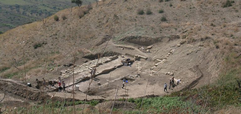
A second stoa stood outside the walls about 250 metres from the southern gate. Built in the 3rd century BC, it measured about 70 metres in length. Its polygonal lower wall also served as a terrace wall, while stone-block pilasters along the front supported the roof. The building may have functioned as a market where villagers brought agricultural produce. Its terrace wall continued toward the southern fortifications.
Hillside monument
Another structure outside the walls stood on the hillside. Made from framed stone blocks, it contained two communicating spaces and two gates. Dating from the 3rd to the 2nd centuries BC, it may have been a monumental tomb or a cistern, but its purpose remains uncertain.
Christian buildings and archaeological finds
Early Christian church
A small early Christian church from the 5th or 6th century stands at the southernmost point of the fortified area. Early Christian architecture refers to Christian buildings of the Roman and post-Roman periods before later medieval traditions developed. The church has a triconch plan, meaning a central space with three semicircular lobes, together with a nave and rooms on either side. Its altar area preserves a polychrome mosaic divided into three sections. Inscriptions, geometric borders, and a central human figure with an animal head form part of the composition.
The southern semicircular section of the mosaic shows fish and other marine animals. The northern section has a cantaloupe-like design from which vine branches emerge. The central figure has been interpreted as resembling either Anubis, an ancient Egyptian deity commonly shown with a canine or jackal-like head, or Saint Christopher, a Christian saint traditionally associated with carrying Christ. Marble architectural fragments, stucco decoration, and portions of painted plaster were also found in the church.
Objects and inscriptions
Pottery has been recovered across the city, along with a bronze sphinx figurine and a statue of Poseidon. The statue and sphinx are exhibited in Tirana. Silver voting cards carrying Antigonea’s emblem and round bronze cards inscribed with the city’s name helped confirm the identification of the site. Bronze keys bearing the city name have also been identified as voting objects used by citizens.
Ladovishte church
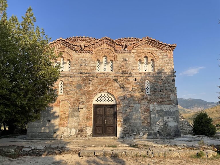
Beyond the southern gate and the outer stoa lies the abandoned village of Ladovishte. Its principal surviving feature is a damaged and partly rebuilt church, which forms part of the archaeological landscape surrounding Antigonea.