Ambleside Roman Fort: A Roman Military Stronghold in Cumbria


Site at a Glance
- Rating
- 4.2
- Popularity
- Low
- Country
- United Kingdom
- Primary era
- Classical
- External website
- Open
- Eras represented
- Classical
- Civilizations
- Roman
- Site type
- Military
- Remains
- Fort
On this page16 sections
History
Ambleside Roman Fort is a Roman military fort in the United Kingdom, located at Ambleside on the northern shore of Lake Windermere. The Romans established the site during their occupation of Cumbria, with an earlier timber fort probably founded around AD 80–85 and a larger stone fort built in the AD 120s during the reign of Emperor Hadrian. The fort helped secure communications across the Lake District and formed part of a network connecting inland settlements, the Cumbrian coast, and the wider Roman road system.
Foundation and Hadrianic rebuilding
The first fort was a smaller timber installation probably established during the governorship of Agricola, whose campaigns extended Roman control into northern Britain in the late first century AD. It may have remained in use for no more than about 25 years. Pottery found outside the fort, however, indicates no clear interruption in occupation between AD 100 and 160. This evidence has challenged an earlier interpretation that the site was abandoned after AD 85 and later reoccupied under Hadrian.
The later stone fort replaced the timber installation during Hadrian’s reign. Hadrian was emperor from AD 117 to 138, a period when Roman authorities consolidated and reorganised the empire’s frontiers, including the rebuilding of forts in northern Britain. Coins indicate that Ambleside may have remained occupied for almost three centuries. It was still in use at least until AD 365 and was abandoned well into the fourth century.
Military communications and local administration
The fort guarded the road from Brougham to Ravenglass by way of Hardknott. Another road probably ran south towards Kendal, while routes leading north to Carlisle and north-west to Papcastle connected Ambleside with the broader Roman communications network. John Horsley described these routes in 1732, and later research identified them as part of the system used to move soldiers, supplies, and trade.
Ambleside was one of three forts controlling the route down the Esk Valley and access to the Cumbrian coast. When Ravenglass received a large permanent fort later in Hadrian’s reign, Hardknott Fort became redundant and went out of use. Ambleside and Ravenglass, together with their surrounding settlements, continued as active communities until Roman rule in Britain ended at about AD 400. Ambleside probably housed a garrison of around 500 soldiers, although the identities of its units remain unknown because neither of the two stone inscriptions found at the site names them.
A substantial civilian settlement, known as a vicus, grew outside the fort. Such settlements housed people connected with a garrison, including soldiers’ families, retired veterans, merchants, shopkeepers, and craftspeople. The settlement at Ambleside may have extended as far as 300 metres north of the fort and probably supported storage, commerce, and the redistribution of supplies to other garrisons. The unusually large granaries suggest that the fort may have held more food than the resident soldiers required.
Conflict and the uncertain Roman name
The fort’s Roman name has not been established with certainty. It has traditionally been identified with Galava, a name interpreted as “fort beside a forceful stream.” More recent archaeological scholarship has tentatively proposed Clanoventa, interpreted as “market on the water,” although that name has also been associated with Ravenglass. The identification remains an interpretation of evidence from Roman route and place-name traditions rather than a settled conclusion.
Excavations of the towers suggest that the fort may have been destroyed once or twice during the second or third centuries, although the circumstances are unclear. Lead sling-bullets and other projectiles, together with evidence that some towers were destroyed and rebuilt, have raised the possibility of an otherwise undocumented battle outside the fort. Isotopic analysis in 2021 showed that two types of sling-bullet were made from ores originating in different sources. The opposing forces and the precise circumstances of any conflict remain uncertain.
A tombstone found east of the fort names Flavius Fuscinus, a retired soldier who died aged 55, and his son Flavius Romanus, a soldier and senior clerk in the garrison who died aged 35. The inscription says that someone was “killed by enemies inside the fort.” It is uncertain whether this referred to both men or only to the son. The wording may indicate an attack during a period of hostilities and provides an unusual connection between the fort and the violence that may have affected it.
Excavation and protection
Investigations in the early twentieth century examined the gates, ramparts, towers, central buildings, and barracks. The historian R. G. Collingwood took part in this work, which also revealed the remains of the earlier timber fort beneath the eastern part of the later stone enclosure. Excavations of the civilian settlement followed during the 1960s and 1970s, with further investigations in the 1980s. In 2013, a geophysical survey by Oxford Archaeology North used non-invasive methods to trace the fort’s outline, parts of its internal arrangement and defences, two corner towers, and further settlement remains north of the fort.
The site was acquired through locally supported donations and given to the National Trust in 1913. Ambleside Roman Fort is a Grade I listed structure and a scheduled monument. These designations reflect the importance of preserving both the fort and the associated evidence for Roman military, transport, storage, and civilian activity in the region.
Remains
Setting and defensive enclosure
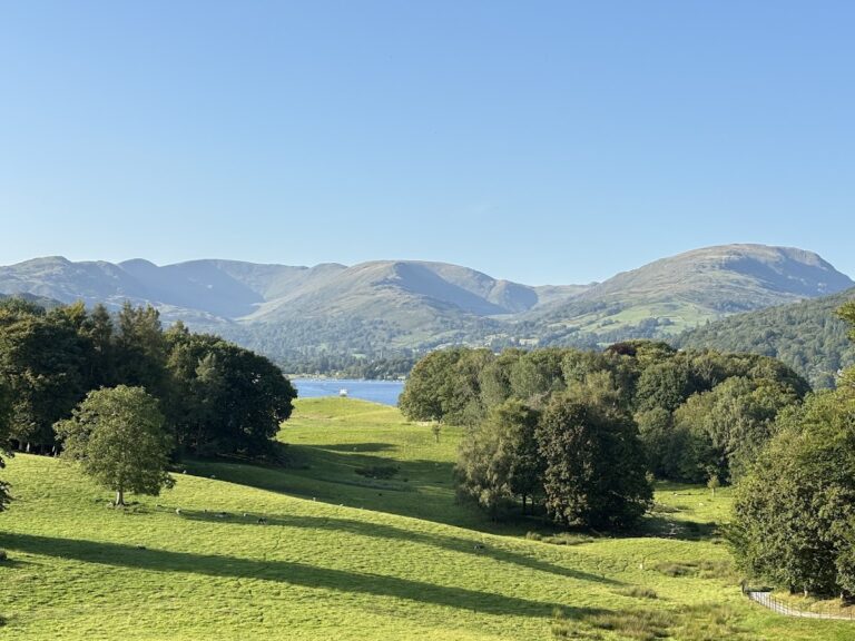
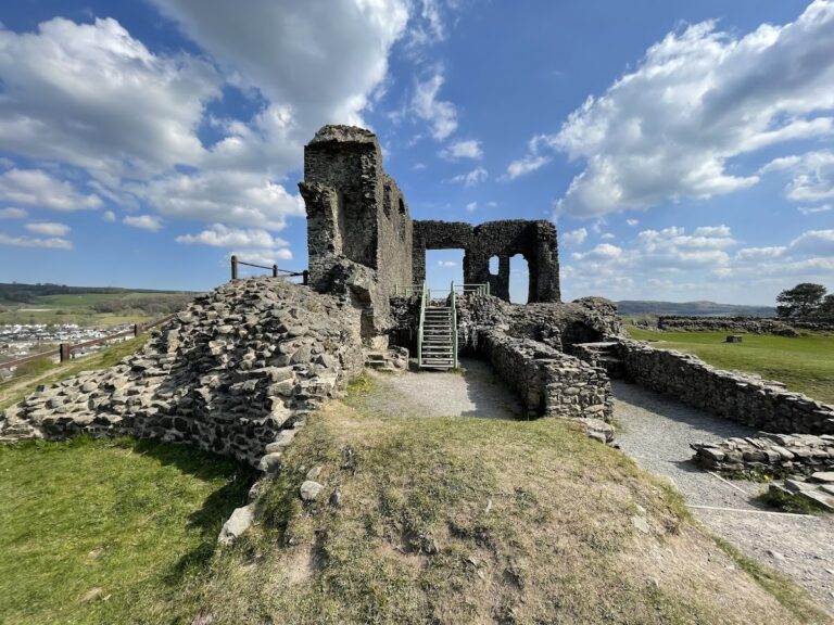
The fort occupied a rectangular platform measuring approximately 91 by 128 metres and covering nearly 1.2 hectares. It stood on gently rising sand and gravel less than two metres above Lake Windermere, between the Brathay and Rothay rivers. Marsh bordered the site to the south and west, while a rocky outcrop occupied the northern part of the field. The underlying volcanic tuff was covered by alluvium. The raised outline of the enclosure survives as slopes in the landscape and is especially clear from the air.
Walls, ditches, and towers
A roughly coursed stone wall about 1.2 metres thick enclosed the fort, with a clay rampart behind it. Towers occupied all four corners, and an external ditch strengthened the defences. Two V-shaped ditches ran along the northern and eastern sides. The river and lake formed natural boundaries on the southern and western sides, where additional ditches were unnecessary.
Gates and roads
Each side of the enclosure had a gate. The eastern entrance was double-width and flanked by square guard towers, while the other three gates were single-width. The eastern gate, or porta praetoria, preserves pivot holes for its large wooden doors and the foundations of its flanking towers. The southern gate retains threshold pivot holes for its massive wooden doors. A road ran from the eastern gate through the fort and continued across Borrans Park, while the road from the southern gate led towards the lakeside.
Central buildings
Headquarters building
The headquarters building, or principia, measured approximately 21 by 23 metres and was entered from the east. It contained two courtyards, three offices, a basilica, and smaller rooms for administration and record keeping. The basilica was a large, high-roofed hall used for assemblies, the issuing of orders, judicial proceedings, and religious ceremonies.
The central office contained the aedes, the shrine that formed the fort’s principal sacred space. It held the garrison’s standards, altars, and images of the emperor. Beneath the shrine was a sunken strongroom or treasury measuring about 1.8 metres square. A stone stairway led down to it, and the room probably stored regimental funds and soldiers’ money beneath a wooden vault.
The inner courtyard contained a detached building on its northern side and may itself have been roofed. A hearth or oven stood within the colonnade around the outer courtyard. The northern office contained a grain bin identified through preserved woodwork and cereal remains.
Granaries
Building I comprised two large granaries, each about 20 metres long and aligned from east to west. A space about 4.6 metres wide separated them. Ovens in this area were probably used to dry grain, although the original roofing arrangement is uncertain. The granaries were rebuilt at least once.
The buildings followed a standard Roman design, with external buttresses supporting walls that carried heavy slate roofs. Windows provided ventilation, while low internal walls supported raised floors. Air circulated beneath the floors, helping keep stored food cool and dry. Their size and arrangement are consistent with the fort’s wider role in holding and managing supplies.
Commander’s house
Building III was the commander’s residence, or praetorium. It measured approximately 21 by 24 metres, rose to two storeys, and contained at least 12 rooms arranged around a central open courtyard or cloister. Its size and complexity contrasted with the cramped barracks and expressed the commander’s higher social status within the fort.
Civilian settlement and finds
Outside the fort, the civilian settlement contained simple wooden buildings. These probably included rectangular roadside structures with shopfronts, workshops, and accommodation. Together, such buildings formed the physical setting for the commercial and service activity that supported the garrison.
Objects from the fort and settlement include leather shoes, pottery fragments, coins, a brass colander, a silver spoon, glass fragments, bronze and iron artefacts, a lead basin, and lead sling-bullets. The coins include issues of Faustina the Younger, Julia Domna, and Valens. Pottery includes Samian ware, a fine red Roman tableware, dating from approximately AD 80 onward, including examples made in Germany.
Projectile concentrations
Seven lead sling-bullets were among the finds associated with the site, and further examples have been recovered around the fort. A 2021 metal-detecting survey identified about 800 non-ferrous points, with strong concentrations immediately outside the eastern wall and another substantial scatter to the north. The distribution provides material evidence for activity around the defences.
Gold bracelet and tombstone
A twisted gold-wire bracelet was recovered in 1982 from contractors’ spoil near the fort during investigations linked to a road-building project. Pottery fragments found with it mostly date from the Hadrianic and early Antonine periods. The tombstone of Flavius Fuscinus and Flavius Romanus was found east of the fort and is now held by the Armitt Museum in Ambleside.
Nearby sites