Čalonice: A Medieval Castle in Czechia


Site at a Glance
- Rating
- 4
- Popularity
- Very Low
- Country
- Czechia
- Primary era
- Medieval
- Eras represented
- Medieval
- Civilizations
- Holy Roman Empire, Margraviate of Moravia
- Site type
- Military
- Remains
- Castle
On this page9 sections
History
Čalonice is a medieval castle in Czechia, located above the Dalešice Reservoir northeast of Dalešice. Archaeological research places its origin at the end of the thirteenth century, and its construction had taken place before 1364. The earliest written references to Čalonice date from 1364 to 1374, when Sezema of Čalonice, a member of the Lords of Bukovina, was associated with the site.
Noble ownership and destruction
The castle is first named explicitly in 1392, when it belonged to Zikmund of Myslibořice, a nobleman connected with the Lords of Myslibořice. Other medieval owners included the Lords of Čalonice and the Dalešice monastery, reflecting the changing control of the stronghold during the later Middle Ages.
Čalonice was conquered and demolished during the Margrave Wars, late medieval conflicts in Moravia involving rival political factions and the margraves of Moravia. It disappeared as a functioning stronghold around 1417. The surviving remains are protected as a cultural monument of the Czech Republic, a legally protected heritage site or historic feature recognized for cultural and historical value.
Remains
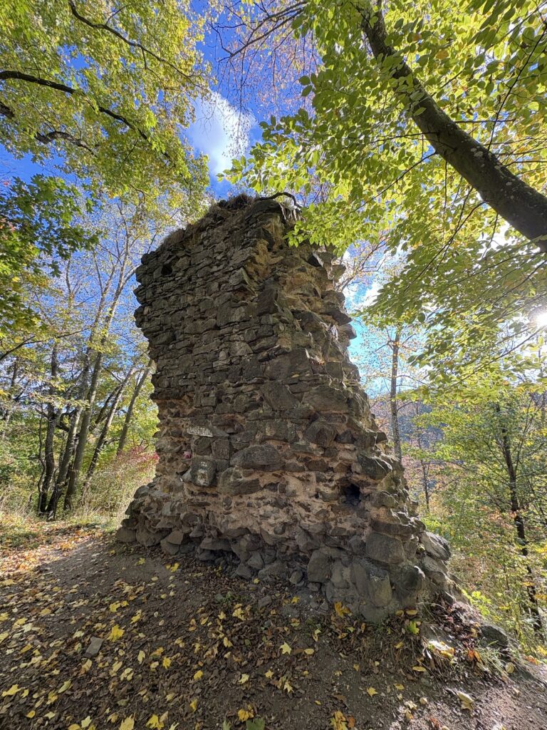
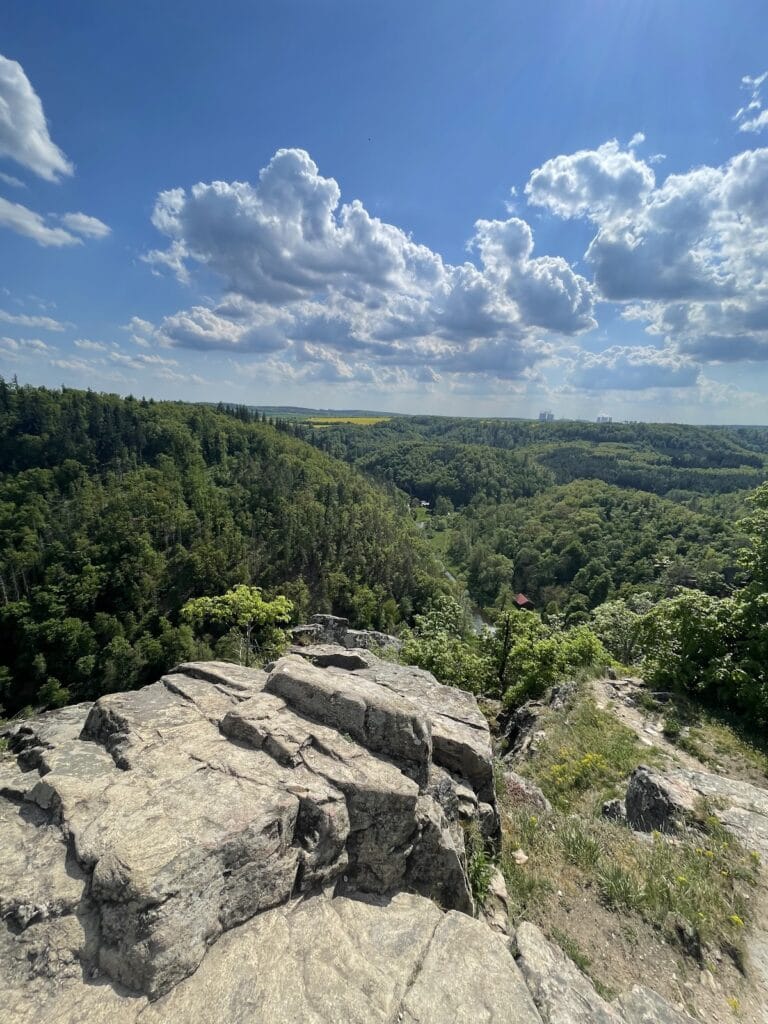
Čalonice occupied a rocky spur above the Jihlava River, now overlooking the Dalešice Reservoir. The castle had an approximately triangular plan and was defended by two lines of fortification. A former fortified forecourt, or possibly a court referred to in medieval written records, stood on a rocky cliff east of the main castle site. Both this area and the former valley are now flooded by the reservoir.
Fortifications and entrance
Walls and gateway
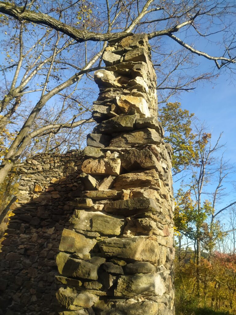
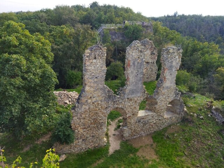
The front wall was about 2 metres thick, while the side walls became narrower as they converged toward the former valley. A gateway passed through the fortification and was reached by a bridge spanning a rock-cut ditch approximately 24 metres wide and about 7.5 metres deep. Sections of the palace’s front wall survive to heights of about 3 metres in places, together with sections of other walls revealed through archaeological investigation.
Southern tower
A smaller tower, measuring approximately 4 by 4 metres, occupied the southern corner of the castle. Its foundations form part of the surviving evidence for the defensive arrangement, alongside the remains of the larger tower and the two lines of fortification.
Interior buildings
Residential tower
A rectangular, prism-shaped tower stood higher than the other buildings within the enclosure. It measured approximately 10 by 8.5 metres and was probably residential, since no residential rooms survive in the other buildings. The foundations of this tower remain among the principal physical traces inside the fortifications.
Additional buildings
Other structures stood behind the walls, including a building in the southeastern part of the site. Their surviving foundations and wall sections help define the arrangement of the castle’s interior, while the flooded forecourt and valley preserve the wider setting in which the stronghold was built.
Nearby sites