Acropolis of Alatri: An Ancient Fortified Enclosure
Site at a Glance
- Country
- Italy
- Primary era
- Iron Age
- Eras represented
- Bronze Age, Iron Age, Classical, Medieval, Modern
- Civilizations
- Italian, Papal States, Roman
- Site type
- Military
- Remains
- Citadel
On this page18 sections
History
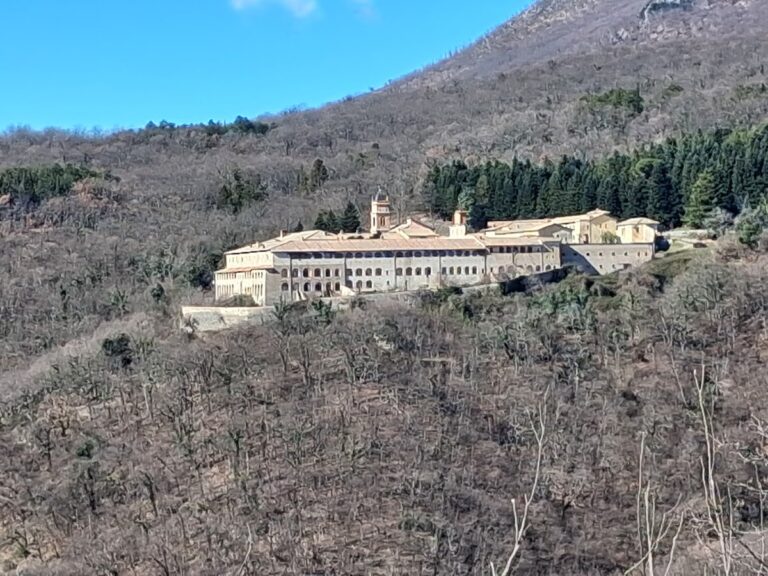
The Acropolis of Alatri is a fortified high area in the historic center of the Italian town. Interpretations associate its walls with the Hernici, an ancient Italic people of central Italy, but both the walls’ date and the city’s foundation remain disputed.
Origins and Roman period
One early proposal came from French archaeologist Louis Charles François Petit-Radel, who placed the city’s foundation before a Second Pelasgian Colony, which he dated to 1539 BCE. “Pelasgians” was a name in ancient Greek tradition for an early people whose historical identity is uncertain. Other proposals place the walls in the sixth century BCE or about four centuries earlier, while Filippo Coarelli proposed a date in the fourth or third century BCE. Archaeological interpretation supports Hernican origins for the walls and extensive restructuring under Roman rule.
In the second half of the second century BCE, the Roman censor Lucio Betilieno Varo commissioned a portico connecting the Acropolis with the forum, the city’s central public square and civic area. The project formed part of his public works.
Medieval transformation
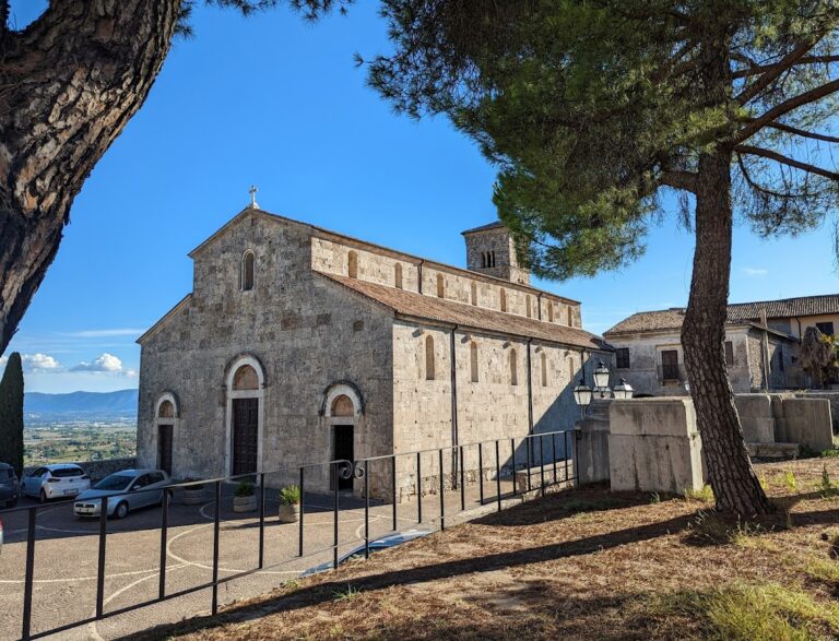
During the Middle Ages, the Acropolis was fortified and became part of the inhabited town as its sacred role diminished. In 1326, the settlement there was destroyed on the order of the rector of Campagna and Marittima, an administrator of that papal territory. The order followed the expulsion of Francesco de Ceccano, who had occupied the Acropolis. The co-cathedral of St Paul and the bishop’s palace survived; the palace was rebuilt between 1337 and 1342.
Restoration and modern changes
The Acropolis was restored in 1843, shortly before Pope Gregory XVI’s visit. Over ten consecutive days, Alatri’s citizens cleared the walls and made access to the upper ancient city. The road laid around the walls was named Via Gregoriana in the pope’s honor.
Remains
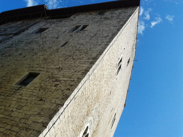
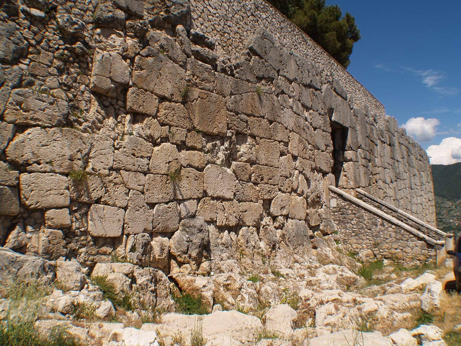
The Acropolis occupies a hilltop about 500 metres above sea level. Its roughly trapezoidal enclosure covers about 19,000 square metres and follows the hill’s natural contours. Several courses of large stones quarried from the hill itself form the walls. Their irregular polygonal shapes fit tightly together without mortar or cement.
Enclosure and entrances
Walls and Pizzale
The walls reach their greatest height at the southeast corner, known as Pizzale. This section narrows upward and consists of fifteen large stacked blocks. A carved relief on the lowest corner stone shows a winged figure, interpreted either as a solar globe or possibly as a tribute to the sun rising on that side. One proposed astronomical reading links the enclosure’s outline to the constellation Gemini at the summer solstice, but adapting the walls to the shape of the hill is considered the more likely explanation.
Porta Maggiore
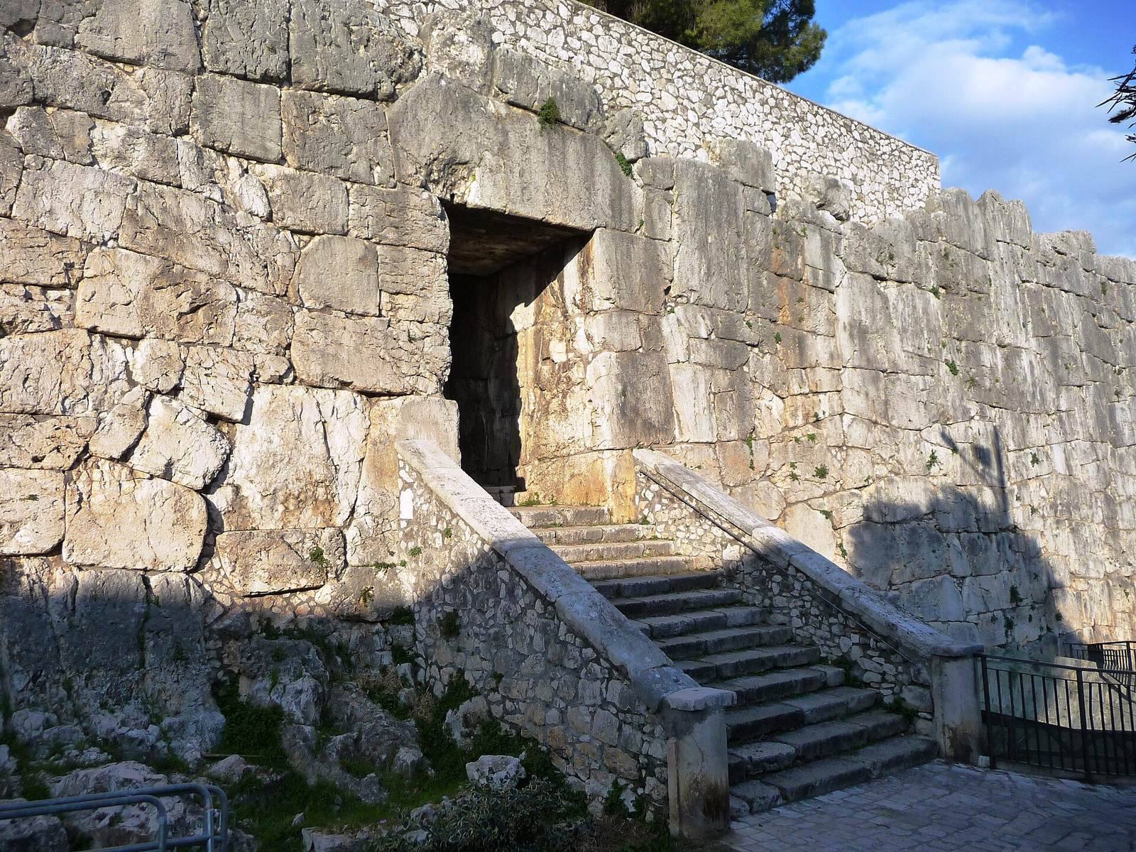
Porta Maggiore, the southern entrance, was built with the walls as an entrance to the city. It is 4.5 metres high and 2.68 metres wide. A single-stone lintel, the horizontal beam spanning the opening, measures 4.0 by 5.13 by 1.3 metres and is estimated to weigh 27 tonnes. It is described as second in Europe in size only to the Lion Gate at Mycenae. Holes in the stone indicate that a gate or beams could close the entrance. Beyond it, a gallery nearly 11 metres long has a roof made from large stone slabs. The approach staircase belongs to nineteenth-century alterations.
Porta Minore
The northern entrance, Porta Minore, is also called Porta dei Falli and Grotta del Seminario. It measures 2.12 by 1.16 metres and opens onto a narrow passage that rises beneath nine overlapping stones, each projecting farther than the one below. The passage is exceptionally well preserved, and its roofing system has been compared with one inside the pyramid at Memphis. Three weathered carvings of male sexual symbols above the entrance were associated with fertility and good fortune. Oscan, an ancient Italic language, appears in inscriptions at the upper left. A tradition held that climbing the entrance staircase without stopping brought good fortune, and the passage is believed to have served ancient pagan rites. The two entrances have roughly the same height-to-base proportion, close to the golden ratio, a mathematical proportion of about 1.618 to 1.
Carved openings near Porta Maggiore
Three large, rectangular recesses cut into the walls near Porta Maggiore extend about 90 centimetres into the stone. They have been interpreted as passages for deities, although their function remains uncertain.
Portico and approach
Portico of Lucio Betilieno Varo
The portico ran along the slope below the Acropolis’s northern side, connecting the hilltop with the forum, now Piazza Santa Maria Maggiore. Its original form was a long colonnade resembling a temple front. At the surviving end, which met the north wall of the sacred area, are part of the base for the columns, a rainwater channel system, and several column bases. The route ended at the beginning of the ramp that remains the easiest approach to the Acropolis.
Limestone lion
A limestone lion stands at the top of the ramp. It was found in 1816 among the ruins of the vanished church of Sant’Angelo in Formis and probably came from a monumental tomb of the late Republican period, the closing centuries of the Roman Republic.
Cistern
A cistern found beside Porta Maggiore during work on Via Gregoriana was later reburied. It is thought to be the “water basin by the gate” included among the public works listed in an inscription recording Varo’s projects.
Church, palace, and surrounding grounds
Co-cathedral of St Paul
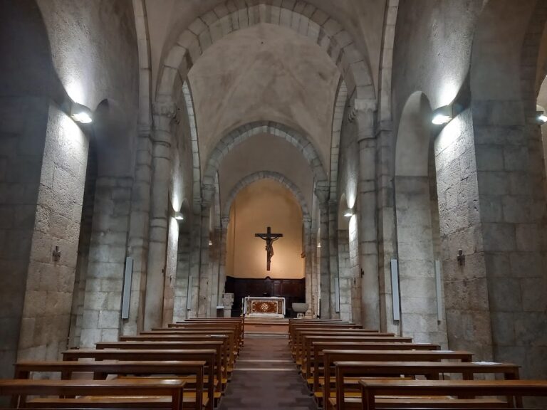
The co-cathedral of St Paul, a church sharing cathedral status with another church in the diocese, stands on the Acropolis over the remains of an ancient altar. Part of its polygonal-stone base can be seen beneath the north side of the basilica.
Bishop’s palace and garden
The bishop’s palace stands on the Acropolis, with a basement that formerly housed a prison. Its small adjoining walled garden contained a cemetery in use until 1846.
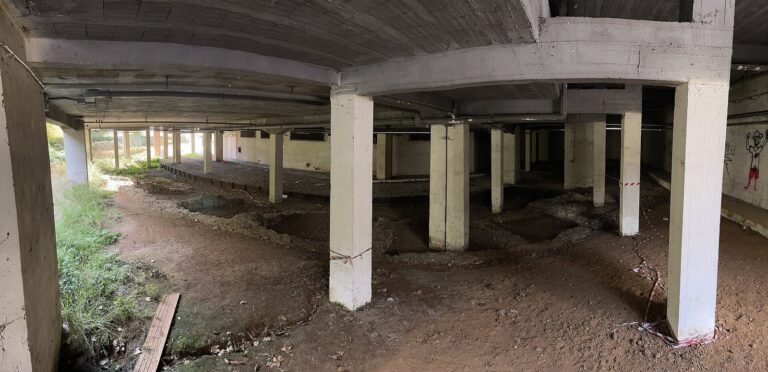
Park and water tank building
Rows of trees planted across the open ground around the Acropolis during the twentieth century turned the area into a city park. A stone building beside the cathedral was erected to conceal a water tank.