Arbel Fortress and Caves: A Cliff Refuge and Fortress in Israel


Site at a Glance
- Rating
- 4.8
- Popularity
- Very Low
- Country
- Israel
- Primary era
- Early Modern
- Eras represented
- Classical, Medieval, Early Modern
- Civilizations
- Byzantine, Ottoman
- Site type
- Military
- Remains
- Fort
On this page9 sections
History
Arbel Fortress and Caves is a cliff fortress and cave settlement in Israel, occupying the northern slope of Mount Arbel. The caves were probably used for habitation in prehistoric times, while later phases made the site a refuge and defensive position during conflicts in Judea and Galilee.
Hellenistic and Hasmonean-era conflict
In 161 BC, Bacchides, a Seleucid military commander active in the wars between the Seleucid kingdom and the Hasmonean rebels, reached the Arbel region while advancing toward Jerusalem. He besieged refugees in the caves and captured them. The first-century Jewish historian and military commander Flavius Josephus later referred to the site as Bacchides’ military cave.
During the late Second Temple period, the era that ended with the Roman destruction of the Jerusalem Temple in AD 70, the inhabitants of Arbel opposed Herod the Great. Supporters of his rival, Antigonus the Hasmonean, also sought refuge in the caves. In 39–40 BC, the steep cliffs provided a fortified position against Herod, the Roman-backed ruler of Judea and Galilee.
Herod’s forces reached the cave entrances by lowering soldiers in wooden boxes or chests tied to ropes from the cliff top. The soldiers killed those they captured and set fire to caves whose defenders resisted. The defenders refused to surrender and chose death rather than captivity.
The Great Revolt
The inhabited caves probably formed the “village of caves” at Arbel mentioned by Josephus. On the eve of the Great Revolt, the Jewish uprising against Roman rule that began in AD 66, the village was fortified as part of defensive preparations. Josephus is identified as the person who fortified it, and Arbel was counted among the nineteen fortified sites associated with his group.
The cave settlement offered shelter to Jewish fighters and their families during emergencies. The more accessible caves may also have been occupied in peaceful periods, allowing the settlement to serve purposes beyond wartime refuge.
Later occupation and archaeological study
Crusaders, Mamluks, and Ottomans used the cliffs and caves for their own purposes. A substantial fortress was established at a strategic point on the Via Maris, the ancient route linking Egypt, the Levantine coast, and Syria. The fortress known as Qelat Ibn Meani is attributed to the Ottoman period and was probably built in the early seventeenth century by Ali, governor of Safed and son of Emir Fakhr al-Din II of the Ma’an family.
In 1992, the Cave Research Center surveyed the caves of the Arbel cliffs for the Israel Nature and Parks Authority. About fifty caves were examined and approximately thirty-six were mapped, most in the area known as the “cave village.” Coins, plaster analyses, and remains of earlier construction were found in front of the caves, but these discoveries do not confirm use during the early Hellenistic-Hasmonean period. Early Roman pottery came from the slope below the caves, while the western group produced Byzantine-period remains. Preliminary ceramic analysis indicates that habitation there did not continue after the Byzantine period.
Remains
The physical complex is carved into the limestone cliffs of Mount Arbel and combines natural karst caves, formed by the dissolution of soluble rock, with hewn passages, stairs, walls, and water installations. The caves extend along the cliff in eastern and western groups, while the fortress occupies a natural cave system on the northern slope.
Cliff settlement
More than 120 caves were excavated or adapted for habitation across seven levels of the Arbel cliffs. Each group is associated with a projecting rock pillar or massive rock protuberance that made approach difficult. Ladders and ropes probably provided access, and many caves retain traces of quarrying and plaster. Surface remains include rows of steps, entrances, passages, and defensive walls that connect the cave groups with the wider fortified landscape.
Water installations
Natural caves were modified for human residence with hewn installations, plastered water cisterns, pools, and mikvaot, Jewish ritual immersion pools used for purification. Channels and diversion installations directed water into the cisterns. These features formed part of the practical arrangements that supported habitation within the cliff settlement.
Fortress
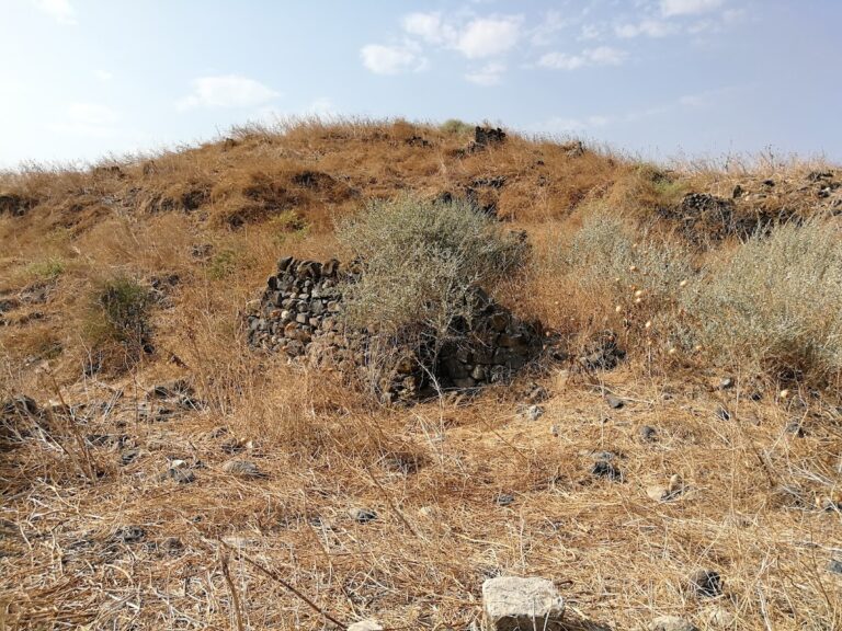
The fortress is enclosed by walls that include vaulted sections and incorporates caves that existed before its construction. Three levels are connected by stairs. The surviving remains include entrances, passages, defensive walls, and other elements of a large fortification system. Its position within the cliff system also relates it to the strategic route identified as the Via Maris.
Arbel and Mount Nitai cliffs
The Arbel and Mount Nitai cliffs rise on opposite sides of Nahal Arbel. Together they contain hewn caves, approaches, passages, defensive walls, stairs, and other fortification remains. The Hamam stream runs below the fortress on the northern side of Mount Arbel, emerging from the gorge between the two mountains before reaching the Sea of Galilee. Early Roman pottery was found on the slope at the foot of the caves, and Byzantine-period archaeological remains were identified in the western cave group.
Nearby sites