Fort de Hel: A Historic Fortress near Willemstad, Netherlands


Site at a Glance
- Rating
- 4.3
- Popularity
- Low
- Country
- Netherlands
- Primary era
- Modern
- External website
- Open
- Eras represented
- Early Modern, Modern
- Civilizations
- Dutch, French
- Site type
- Military
- Remains
- Fort
On this page9 sections
History
Fort de Hel is a brick fortress near Willemstad in the Netherlands, built in its present form by French forces in 1811 to defend the town against a possible English invasion. It formed part of the defensive system of the Hollands Diep and Volkerak and lies a few hundred metres northwest of Helwijk.
From Fort Anna to Fort l’Enfer
The site was first occupied by Fort Anna, constructed in 1748 to plans by captain-engineer Michiel Mattheus van Oosterzee. The fort was named after Anna of Hanover, the German-born queen consort of George II of Great Britain. In 1793, it was renamed Fort Carolina, although it had already fallen into disrepair by that time.
French forces built a new fortification on the site in 1811 and called it Fort “l’Enfer”. The present name, Fort de Hel, was adopted in 1813. Later changes followed the Fortress Act of 1874, Dutch legislation that led to the modernization of the country’s permanent fortifications. A major modernization campaign took place between 1882 and 1884, after which the fort was intended to accommodate 118 men. That stated strength was maintained during the First World War.
Military service and wartime damage
Fort de Hel and Fort Bovensluis supplied rear cover for Fort Sabina Henrica. The fortification was abolished in this role in 1926, although troops occupied the site again during military mobilization. Units of the 1st Battalion of the 39th Infantry Regiment held Fort Sabina and Fort de Hel as part of the forward defence known as Fortress Willemstad. They inundated the Ruigenhil polder, laid obstacles, and occupied a weak defensive line.
On 14 May 1940, German armoured cars attacked the fort and compelled its garrison to surrender. The fighting damaged the fort, and a nearby house was burned out. German forces then occupied the site from 1941 to 1944.
On 5 November 1944, the South Wales Borderers approached the fort believing it was no longer occupied. German troops unexpectedly fired mortars from the fort, killing several attackers. The German forces withdrew by evening, and the fort was captured.
End of military use
A radio transmitter serving Woensdrecht Air Base was installed at Fort de Hel in 1957. Military use ended in 1961, after which the site passed into municipal ownership. It was declared a national monument in 1988 and is protected as monument number 38998.
From 1994, the Stichting Vrienden van de Hel leased the fort and established the studio of artist Frank Kastelein there. The site is now used for cultural activities, including theatre performances, the Night of Poetry, and Moerdijk’s annual art and culture route.
Remains
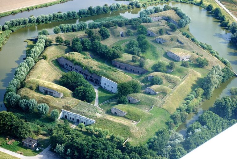
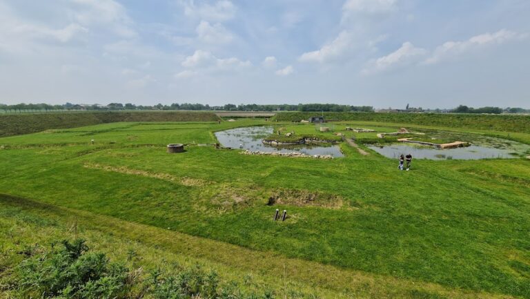
Fort de Hel is a square brick enclosure beside a waterway that once drained the adjoining polders. Its surviving military features include the section containing the present entrance and a French standardized military tower within the grounds. The watercourse formerly ran westward past Fort Sabina Henrica and reached the Volkerak at the Heyningse or Helse Haven.
Fortifications
Brick enclosure and entrance
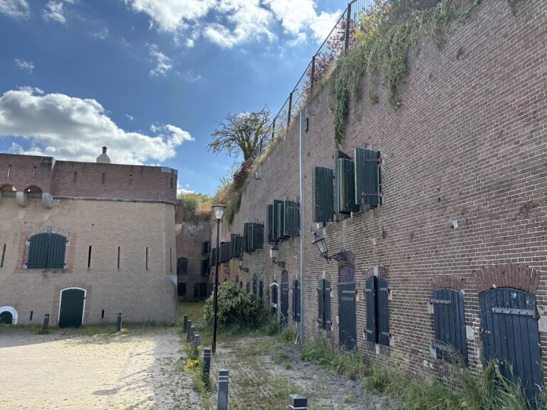
The main fort forms a square enclosure constructed in brick. The present entrance belongs to the section built in 1811, linking the surviving access point directly with the French phase of the fort’s history. Later modernization and adaptations altered the complex after the Fortress Act of 1874.
French military tower
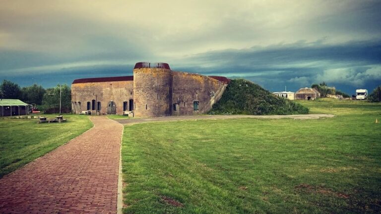
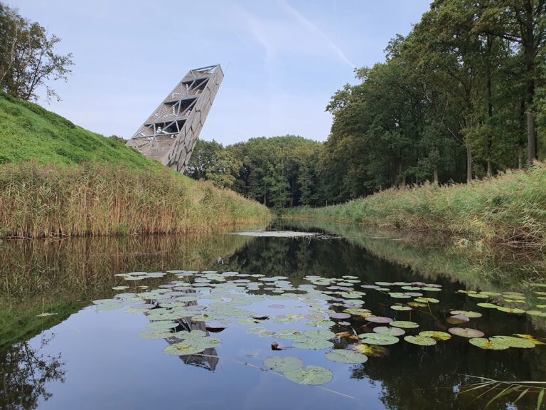
A Tour modèle no. 3, a standardized French military tower designed to strengthen fortifications and protect accommodation and ammunition storage, stands within the fort grounds. It could house 14 men and store 9,500 kilograms of gunpowder. It is one of only three surviving towers of this type in the Netherlands.
Waterway and harbour
The waterway beside the fort served the drainage of the adjoining polders, low-lying land protected from water by dikes and managed through drainage. It flowed westward past Fort Sabina Henrica before reaching the Volkerak at the Heyningse or Helse Haven.
The harbour at the Helse Haven contained a stone sluice with a tide gate and a sliding gate. A sluice is a controllable water-control structure used to drain or regulate reclaimed land. Around 1960, the harbour disappeared when the sea dike was closed, ending the connection between the waterway and open water.
Nearby sites