Heidelsburg: A Roman Fortification in Germany


Site at a Glance
- Rating
- 4.2
- Popularity
- Very Low
- Country
- Germany
- Primary era
- Classical
- External website
- Open
- Eras represented
- Classical
- Civilizations
- Roman
- Site type
- Military
- Remains
- Fort
On this page8 sections
History
Heidelsburg is a former Roman-period fortification in Germany, near Waldfischbach-Burgalben, whose construction dates no later than the period between the second century AD, during the reign of Emperor Hadrian, and AD 351, when Germanic invasions occurred. The site occupies a strategic rocky ridge in the western Palatine Forest and is also known as Bunenstein.
Pre-Roman and Roman phases
The plan, location, and discovery of a Gallic coin have led historians to consider a Celtic predecessor dating to around 100 BC. The fortification was later developed as a Roman castrum, a fortified military camp or settlement enclosed by defensive walls and entered through gates. Roman coins found in the 1970s place its construction, at the latest, within the period from the second century to AD 351.
Archaeological evidence from the site has also been interpreted as the oldest known indication of forest administration in late antiquity on German soil. The axe shown on a grave slab is understood as the occupational emblem of a saltuarius, a Roman forest official or woodland manager. The extent of organized Roman forestry in the surrounding area remains uncertain, however, and tourist material consequently calls Heidelsburg “the oldest forestry office in Germany.”
Medieval associations
The fortification may have been enlarged during the late Carolingian period, the later phase of the dynasty that ruled much of western and central Europe after Charlemagne. Features of the chamber gate have been cited in support of this possibility. The original name of the site has not survived. Heidelsburg, a name related to the medieval term for heathens, arose when the fortification had already stood in ruins for several centuries.
A document from 1355 names the rock formation at the site as Bunenstein. In that year, Count Arnold of Homburg sold half of it to Count Walram II of Zweibrücken and permitted him to build a castle on the rock and a town at its foot. Neither project was carried out. A description of the Waldfischbach forest mentioned the ruins around 1600.
Excavation and preservation
Excavation took place in two main stages. Christian Mehlis directed the first campaign in 1883, and Friedrich Sprater led further work in 1927 and 1928. In the late 1920s, Sprater rebuilt the west gate using its original stone blocks. In 1990, ownership passed to the state Forestry and Castles Administration of the State Office for Monument Preservation of Rhineland-Palatinate. Heidelsburg is designated as a monument zone.
Remains
Ridge and enclosure
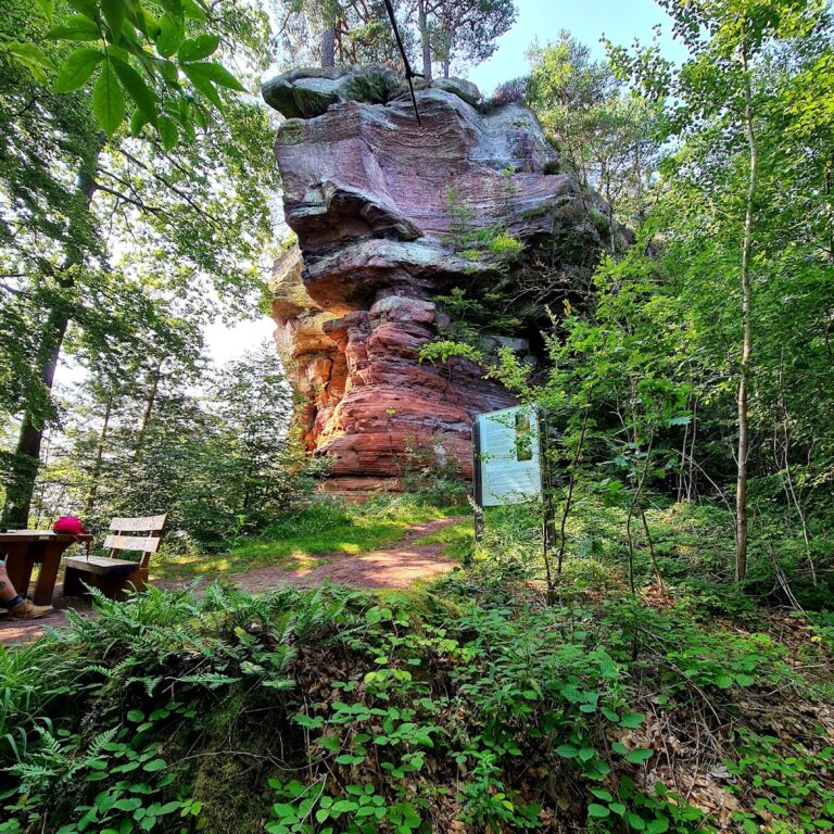
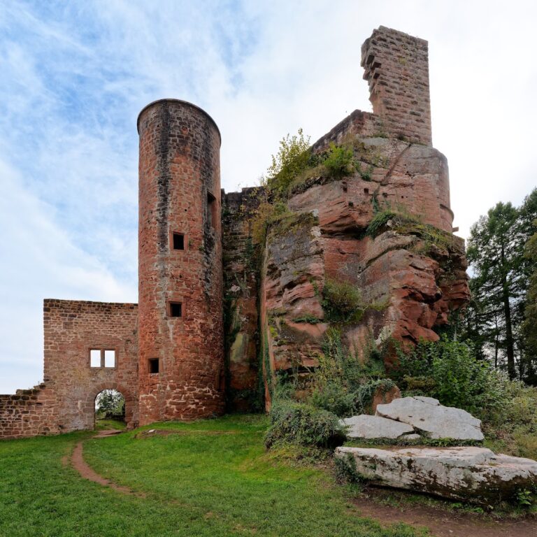
The ruins occupy the southernmost extension of the 392.7-metre Dreisommerberg, on a rocky ridge above the Schwarzbach valley. They lie at about 333 metres above sea level and approximately 3 kilometres southeast of Waldfischbach-Burgalben. Natural bunter sandstone, a reddish or variegated Triassic sandstone common in parts of southwestern Germany, forms steep rock faces along the ridge. Large stone blocks were added to these natural defenses to create an oval enclosure, reinforcing an earlier structure made from wooden posts.
Gates and defensive remains
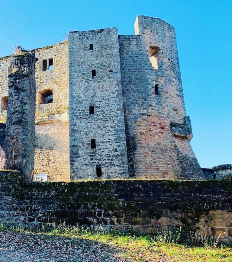
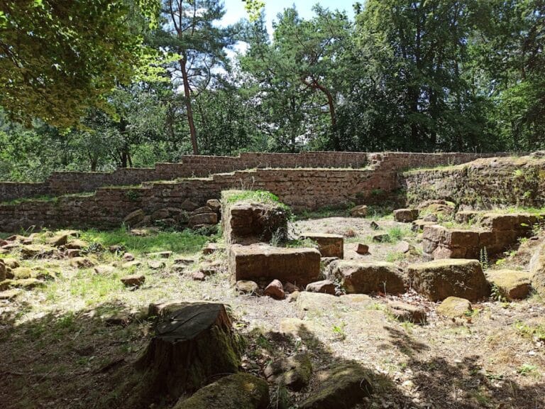
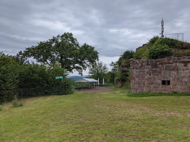
A Roman castrum stood within the enclosure, with entrances at its western and eastern ends. Only fragments of the defensive ring wall survive. The west gate was reconstructed in the late 1920s from heavily moss-covered Roman ashlar blocks, while the east wall has been destroyed and parts of the east gate area remain. Steps associated with the gates and fortification are preserved. A depression about 4 to 5 metres wide lies in the area of the ring wall. Its purpose is uncertain, although it may have served as a cistern.
Grave slab and archaeological finds
A grave slab discovered during the 1883 excavations depicts a man holding an axe and a woman holding a basket. The axe is interpreted as the emblem of a Roman saltuarius. A corresponding tool and an inscription with a matching name suffix were found near the site. The original slab is preserved in the History Museum of the Palatinate in Speyer, while a replica made in 1876 stands near the find location by the destroyed east wall.
Coins, Roman pottery sherds, and iron tools recovered around the fortification are displayed in cases at the local history museum in Waldfischbach-Burgalben. A reconstruction model of the entire complex is also held there. Beech woodland now covers the plateau, alongside natural rock groups and surviving stretches of the ring wall. Ferns, heather, and blueberry shrubs grow on the sandy soils, while individual trees root in cracks in the rock faces.
Nearby sites