Runder Berg: A Multi-Period Highland Settlement near Bad Urach, Germany
Site at a Glance
- Rating
- 4.8
- Popularity
- Very Low
- Country
- Germany
- Primary era
- Medieval
- External website
- Open
- Eras represented
- Medieval
- Civilizations
- Unclassified
- Site type
- Military
- Remains
- Fortified Town
On this page14 sections
History
Runder Berg is a multi-period highland settlement site in Germany near Bad Urach, on the escarpment of the Swabian Jura. Its plateau was occupied by prehistoric communities and later by Alamannic and Frankish elites from the Bronze Age through the early Middle Ages.
Bronze Age and Iron Age Settlements
The earliest finds date to the Early and Middle Bronze Age, around 1600 BC. This settlement was abandoned around 1300 BC, then occupied again from approximately 1100 to 750 BC. Some important discoveries come from this second phase.
After a break of about 200 years, people returned around 550 BC, at about the same time that several Hallstatt-period princely centers developed. The Hallstatt period was an Iron Age cultural phase associated in part with elite hilltop centers in central Europe. Runder Berg was destroyed around 400 BC, apparently during the same period as those centers. Finds also show that the mountain was settled during the Late La Tène period, in the second and first centuries BC, before Roman rule became established across much of the region.
Alamannic Royal Residence
The first Alamanni settled on Runder Berg soon after the end of the Roman frontier, the fortified boundary of the Roman Empire in the region. The mountain may then have served as the seat of an Alamannic regulus, a subordinate or small-scale king who ruled a limited territory or community. The settlement included the ruler’s entourage and craftsmen, among them goldsmiths, bronze workers, and bone carvers.
At the beginning of the fifth century, the settlement and its fortification were dismantled. New buildings were erected, creating a revised arrangement on the mountain. Around 500, the royal seat was destroyed, apparently in connection with the victories of Clovis I over the Alamanni in 496 and 507. Clovis was the Frankish king whose campaigns helped subjugate the Alamanni. The destruction also appears to belong to the period when members of the Alamannic upper class were exiled to Ostrogothic territory.
Frankish and Medieval Occupation
During the seventh and eighth centuries, a Frankish nobleman maintained a residence on Runder Berg. Craft establishments formed part of the settlement, which was also occupied by a heavily armed mounted force. The large number of spurs found there supports this interpretation.
This fortification was probably destroyed around 750, possibly in connection with the Blood Court of Cannstatt, a Frankish judicial proceeding traditionally associated with the suppression of Alamannic elites. More than a century later, another castle was built on the mountain. It was abandoned during the first half of the eleventh century. Whether neighboring Hohenurach Castle directly succeeded it remains uncertain.
Archaeological Investigations
Numerous surface finds from Runder Berg became known in 1932. Helmut Burkert began private excavations in 1948 with the authorization of the city of Urach and its mayor, Gerstenmaier. He published his research in Der Albtrauf from 1958 to 1966.
From 1966, excavations continued under the Heidelberg Academy of Sciences, a German learned society that supports scholarly research. Vladimir Milojčić and Rainer Christlein led the work with Burkert’s participation. Extensive excavation took place across the mountain and on a hillside terrace between 1967 and 1984.
Remains
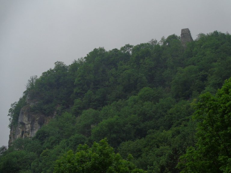
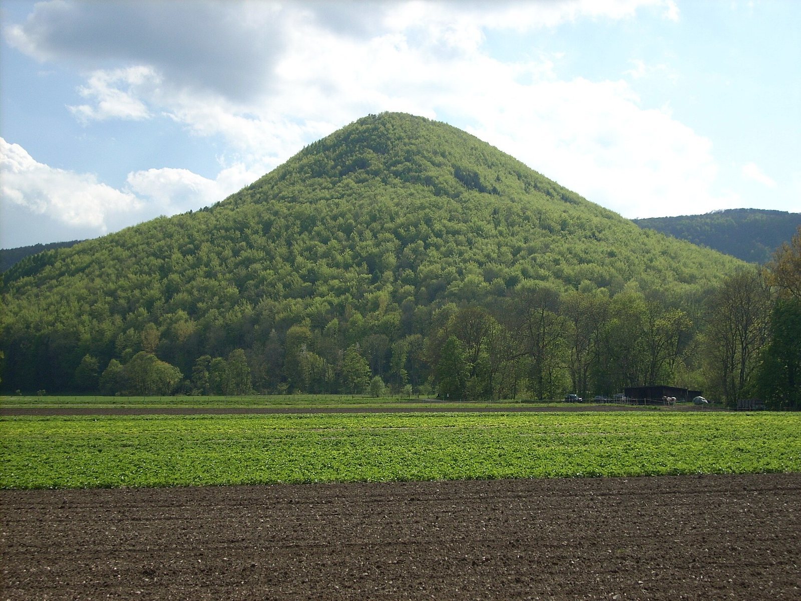
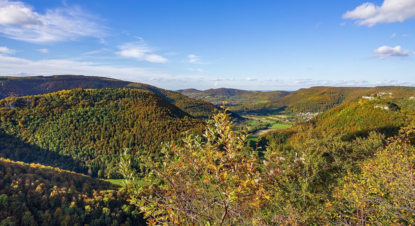
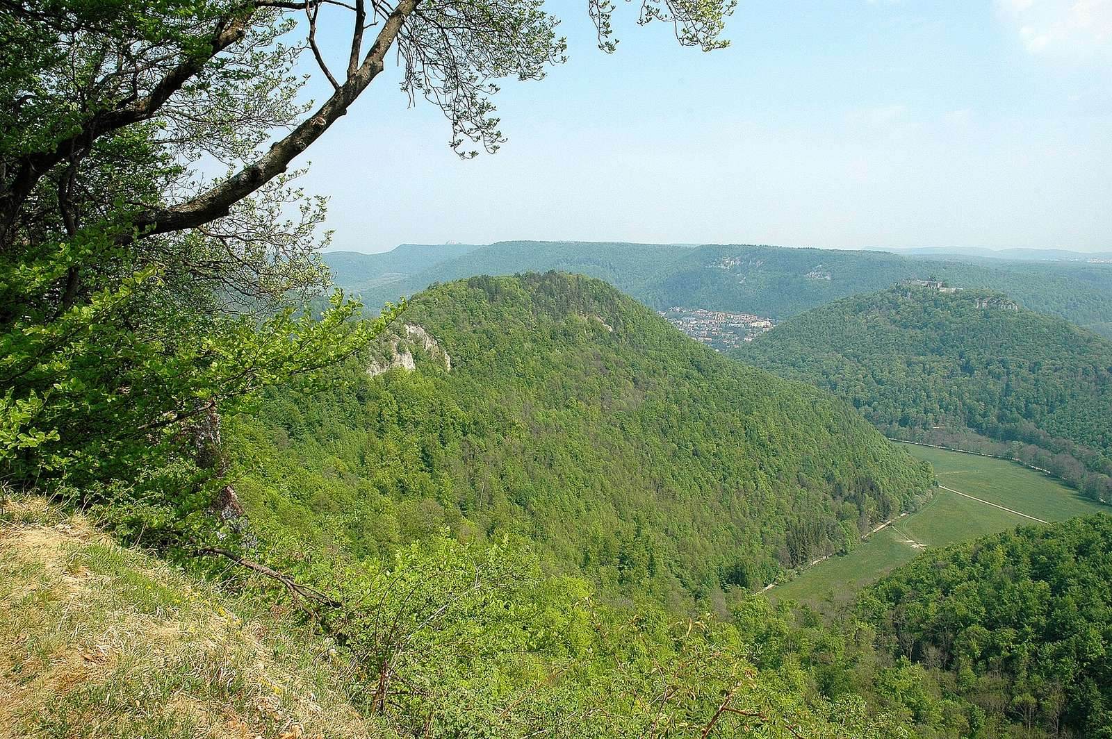
Runder Berg is an oval mountain rising to approximately 711.2 metres above sea level. A narrow saddle connects it to the Swabian Jura upland, while the mountain rises about 250 metres above the valley and approximately 45 metres above the surrounding terrain. Its plateau covers about 0.45 hectares, and the base of the mountain is approximately 0.41 kilometres wide. The surrounding landscape is mainly hilly and covered by mixed forest, with flatter land to the south.
Alamannic Settlement
Rampart and Workshops
The Alamannic settlement was enclosed by a timber-and-earth rampart about 220 metres long. Buildings and workshops supported a wide range of activities, including gold working, bronze working, bone carving, weaving, smithing, milling, and cooking. These remains place craft production alongside the settlement’s elite and residential functions.
Frankish Residence
Principal Hall
The Frankish-period residence included a three-aisled hall built with posts and measuring approximately 20 by 9 metres. It is interpreted as a palas, the principal hall of a medieval aristocratic or royal residence.
Residential Buildings
Jewelry, disc brooches, and spindle whorls found in the hall indicate that the surrounding buildings are interpreted as residential chambers or Kemenaten. A Kemenate was a heated residential building associated with a high-status household.
Later Castle
Stone Defenses
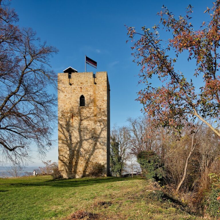
The later castle was protected by a stone wall running along the edge of the slope. At least three rectangular towers formed part of its defenses, marking a later building phase distinct from the timber-and-earth enclosure of the Alamannic settlement.
Interior Buildings
Some interior buildings had relatively comfortable fittings, including tiled stoves and glass windows. These features indicate the provision of well-appointed occupied spaces within the later castle.