Wittekindsburg: An Early Medieval Hilltop Fortification in Germany
Site at a Glance
- Rating
- 4.2
- Popularity
- Very Low
- Country
- Germany
- Primary era
- Medieval
- Eras represented
- Medieval
- Civilizations
- Carolingian
- Site type
- Military
- Remains
- Fort
On this page7 sections
History
Wittekindsburg is an early medieval hilltop fortification near Rulle in Germany, built by the Saxons and later adapted during the period of Carolingian rule. Covering approximately 16 hectares in the Osnabrück Uplands, it is regarded as the largest early medieval hilltop fortification in Lower Saxony.
Saxon and Carolingian phases
The outer ramparts and ditches are considered Saxon defenses dating from before the Saxon Wars of 772 to 804, the prolonged campaigns in which Charlemagne and the Carolingian monarchy conquered and incorporated Saxony into the Frankish Empire. A settlement layer within the main castle may belong to this earlier phase. Radiocarbon dating, which estimates the age of organic remains through the decay of carbon-14, places associated material within ranges of AD 635 to 840 and AD 605 to 825.
The main castle developed between the late eighth and late tenth centuries. Its construction involved several phases, and repairs to the southwestern tower indicate that the fortification remained in use for an extended period. A post-built house, supported by posts set directly into the ground, produced a radiocarbon date of AD 920 to 1020. The castle’s use ended by the close of the tenth century.
Wittekindsburg belongs to a group of early historical fortifications that the Saxons built as refuge castles. After conquering Saxony, the Carolingians took over and strengthened such sites to secure their rule. The fortification first appears in written records only after its occupation had ended. A charter issued in 1253 by Rulle Monastery refers to a farmhouse located at Wittekindsburg.
Name and archaeological investigation
Many fortifications in the Osnabrück region and northern Westphalia were popularly called “Wittekindsburg.” The name refers in popular tradition to Widukind, a Saxon prince associated with resistance to Charlemagne’s conquest, but it does not by itself establish that he founded or occupied this particular fortification.
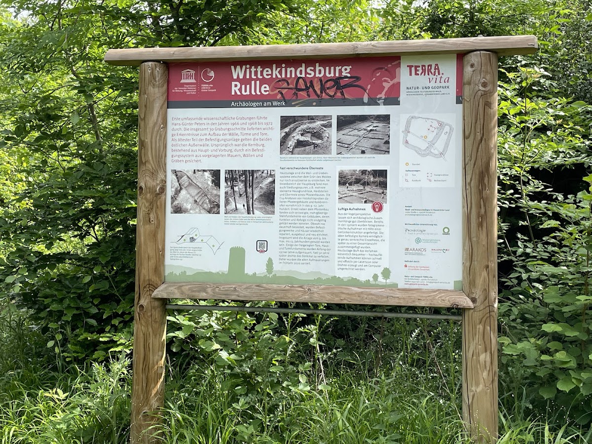
The prehistoric archaeologist Carl Schuchhardt carried out the first archaeological investigations around 1890. More extensive excavations took place between 1966 and 1972 and resumed in 2001, adding evidence for the site’s construction phases and long period of use.
Remains
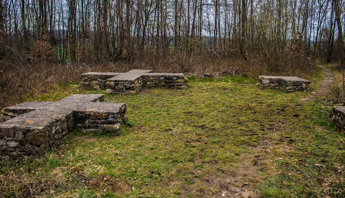
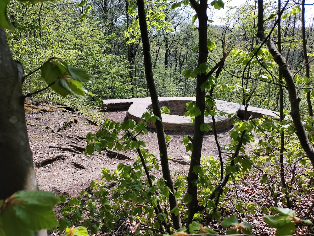
Wittekindsburg occupies a spur of the Wiehen Hills. Steep slopes provide natural protection on the north and southwest, while ramparts, walls, ditches, gates, and towers organized the fortified area. The surviving remains consist of foundations, wall fragments, and earthworks that preserve parts of this defensive layout.
Main castle defenses
The main castle measures approximately 140 by 110 metres. On the western side, an 85-centimetre-thick dry-stone wall, built without mortar, stood on an earth rampart and faced a V-shaped ditch up to 3.15 metres deep. Similar defenses protected the northern and southern sides, although the southern side also had a second outer ditch.
The more vulnerable eastern side had a mortar-built wall up to 1.15 metres thick, backed by an earth rampart and protected by a V-shaped ditch reaching 3.90 metres in depth. Access to the main castle and the eastern outer bailey, an enclosed area adjoining the principal fortified enclosure, passed through a chamber gate, a fortified entrance passage incorporated into the wall.
Towers and internal structures
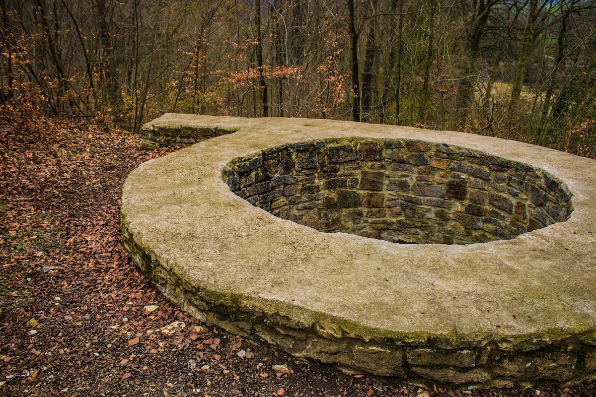
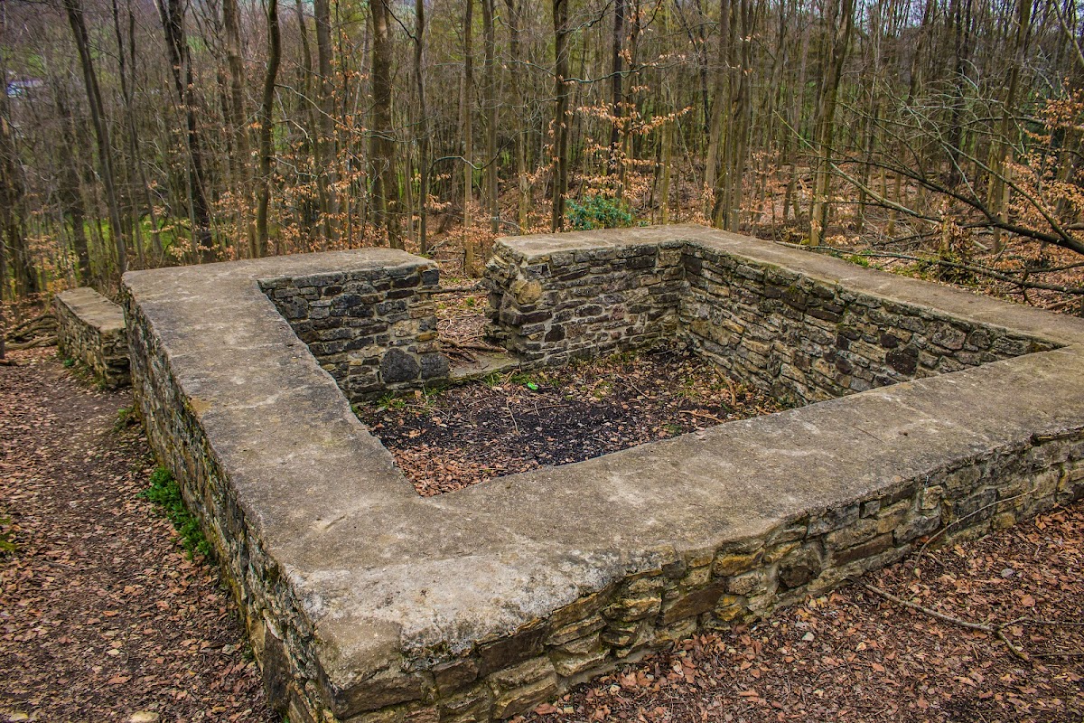
A round tower formed part of the enclosure wall at the southwestern corner. At the northeastern corner, a square tower measuring 6.75 metres on each side was integrated into the eastern wall. Several construction phases are visible in this area. The northern wall beside the northeastern tower formed a passage-like opening that may have led toward a water source on the slope.
Within the main castle, timber and stone structures represent several building phases. Their functions cannot be identified more precisely, but they reflect the changing occupation of the fortified enclosure. The southwestern tower also retains evidence of repairs and stabilization connected with its continued use.
Outer baileys and approach defenses
The eastern outer bailey was defended by a mortar-built wall backed by an earth rampart. West of the main castle, an irregular rampart with a broken facing wall formed an additional defensive line. Several rampart-and-ditch systems protected the approaches beyond the fortification, and entry through this outer area was controlled by a pincer gate flanked by projecting or converging defensive banks.
Nearby sites