Haskenau: A Medieval Motte Castle in Germany


Site at a Glance
- Rating
- 4.3
- Popularity
- Very Low
- Country
- Germany
- Primary era
- Medieval
- External website
- Open
- Eras represented
- Medieval
- Civilizations
- Holy Roman Empire
- Site type
- Military
- Remains
- Castle
On this page7 sections
History
Haskenau is a former lowland motte castle in Germany, on the territory of Münster, whose settlement probably began during the Frankish period. A motte was a castle built around a raised artificial mound, usually carrying a tower or fortified residence. Excavations recovered pottery from the Carolingian period, the later phase of Frankish rule associated with the Carolingian dynasty. A fortified castle was established on the central mound during the twelfth century, although it may have been constructed substantially in wood or as a stone building.
Medieval lordship
Medieval documents probably referred to Haskenau as Sconowe, a name interpreted as Schönau or Hohenschönau. A document of 1226 names the knight Hermann I of Münster as a resident. In 1268 and 1286, one of his descendants pledged the castle, which was described as a fortified house using the Latin term mansio. In 1324, the property was sold to the Münster Cathedral Chapter, the ecclesiastical institution responsible for administering Münster Cathedral and its associated church lands.
The bishops of Münster still swore at their accession in 1424 and 1457 to defend the revenues and lands associated with Haskenau. By the middle of the fifteenth century, Haskenau and the nearby farms called Lengerkes Erbe, Grosse Lengerich, and Lütke Lengerich belonged to Christina von Cleyhorst. She transferred them to her son Johann IV Droste zu Hülshoff.
The Droste zu Hülshoff family
Four generations of the Droste zu Hülshoff noble family lived at Haskenau during the fifteenth and sixteenth centuries. The family line was founded by Alhard II, who died in 1485. One of its members was Everwin II von Droste zu Handorf, who served as mayor of Münster.
Pottery dating from the twelfth to the sixteenth century indicates that the fortification remained in use at least intermittently into the modern period. By no later than the fifteenth century, however, it had lost its strategic role. Archaeological evidence also indicates agricultural use of the area, although farming was common at motte castles and does not by itself establish the site’s original purpose. In 1611, Haskenau appeared among the episcopal estates administered from Schöneflieth Castle near Greven only as a place used for pig fattening.
Later interpretation and protection
From 1930, Alfred Lühl promoted the claim that the motte was a burial mound where the Roman general Germanicus, a member of the Julio-Claudian imperial family, had buried soldiers killed in the Battle of the Teutoburg Forest. Lühl placed that battle in the Kattenvenne Moor. The interpretation did not withstand examination, although it helped lead to an excavation at Haskenau in 1936. Haskenau has been protected as an archaeological monument since 1987.
Remains
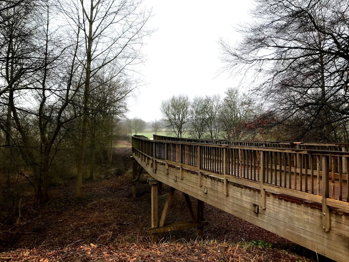
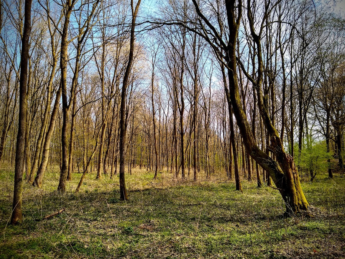
Haskenau lies in the lowlands at the former mouth of the Werse into the Ems. The castle complex occupied approximately 2.5 hectares and was organized around a central raised mound, with ditches, ramparts, a forework, and farmsteads arranged within the wider enclosure. The castle buildings themselves no longer survive. Earthworks and other formations in the ground preserve the principal physical evidence of the site.
Central motte
The central motte measures about 30 metres across. It rises approximately 5 to 6 metres above the surrounding ground and about 11 metres above the former waterline. A ditch lay before the mound, followed by an inner rampart about 5 metres wide. The mound formed the core of the fortified residence established during the twelfth century, which may have been made largely of wood or built in stone.
Outer defenses and settlement area
A second defensive rampart enclosed the castle to the southeast, about 60 metres from the central mound. The outer rampart included a forework, an outer defensive work associated with the larger fortification, whose southern section probably dates from the thirteenth century. Excavations found remains of a palisade fence. Farmsteads stood between the inner and outer ramparts, while the surviving earthworks preserve the arrangement of the defensive landscape and its associated settlement area.