Burg Schöneflieth: A Medieval Toll Castle on the Ems in Germany
Site at a Glance
- Rating
- 2.9
- Popularity
- Very Low
- Country
- Germany
- Primary era
- Medieval
- External website
- Open
- Eras represented
- Medieval, Early Modern
- Civilizations
- Holy Roman Empire
- Site type
- Military
- Remains
- Castle
On this page11 sections
History
Burg Schöneflieth is a former lowland castle in Greven, Germany, established in 1232 by Franco von Schonebeck, also known as Schöneflieth. Built in relatively flat terrain with water serving as part of its defenses, it stood at a crossing of the Ems on the important trade route from Münster northward. The castle’s position enabled the von Schonebeck family to collect tolls from traders, and this practice contributed to its reputation as a robber-knight stronghold.
Foundation and destruction
The castle was first recorded in 1257 as Castellum dictum sconenvlete. Franco’s son, Dietrich von Schonebeck, lived there and inherited the family’s rights. From 1275, Bishop Eberhard von Diest of Münster undertook a campaign against castles used as bases by robber knights. Schöneflieth was rendered militarily unusable in spring 1276, and Dietrich had to surrender his rights to the Münster cathedral chapter, the corporate body of canons responsible for Münster Cathedral’s administration and institutional affairs.
Rebuilding and institutional use
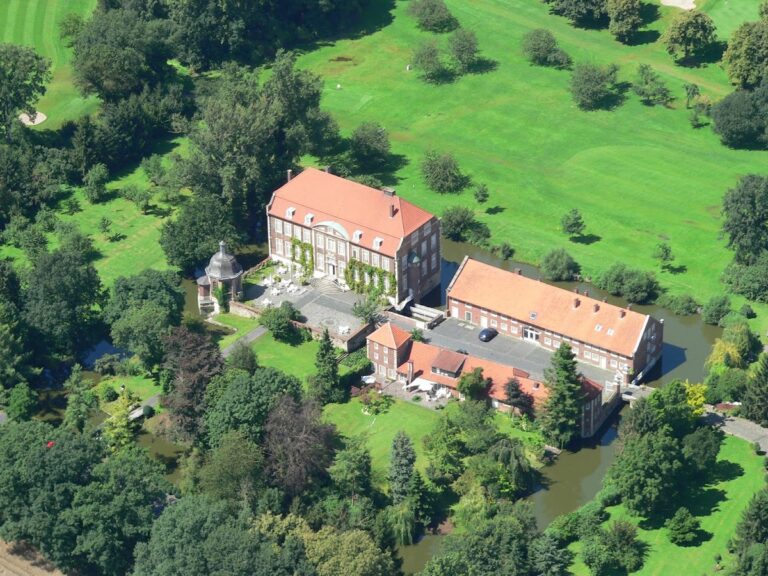
From 1365, the cathedral chapter replaced the original motte, a castle built around a raised earth mound, with a larger complex arranged on two islands. Cathedral canons lived at Schöneflieth until the second half of the eighteenth century. Their possession of the castle included control of the bridge toll over the Ems, and tolls were later also imposed on ferries operating on the river. A new main building and a chapel were constructed during the sixteenth century. After the Thirty Years’ War, the major European conflict fought from 1618 to 1648 amid religious, dynastic, and territorial struggles, a toll tower was probably built south of the bridgehead.
Conflict and negotiation
Schöneflieth became a refuge during the Anabaptist takeover of Münster in 1534. The Anabaptists were a radical Christian movement whose seizure of the city forced opposing religious and political authorities, including the cathedral canons, to flee. On 15 February 1534, Bishop Franz von Waldeck successfully repelled an attack by their pursuers at the castle.
The castle was also drawn into military events during the Thirty Years’ War. On 3 August 1623, Christian of Brunswick, a Protestant military leader in the conflicts of the period, entered Schöneflieth while being pursued by Tilly, the Catholic League commander. Christian left on the following day as Tilly’s army approached and was decisively defeated at the Battle of Stadtlohn on 6 August.
On 25 February 1655, the Treaty of Schöneflieth was negotiated at the castle as a compromise between the city of Münster and its bishop, Christoph Bernhard von Galen. The dispute followed the citizens’ request to Holy Roman Emperor Ferdinand III for territorial sovereignty. After an attempted military seizure of Münster failed, von Galen was allowed to station 450 infantrymen and 100 cavalrymen in the city, although the troops were sworn to Münster.
Decline and dismantling
The castle’s importance declined toward the end of the eighteenth century, when the canons visited only rarely. It fell into decay, and after the death of the last captain the office was not filled again. An auction in 1808 attracted no bidder. In 1812, four merchants from Greven jointly purchased the complex for 36,000 francs and used it as a source of building materials. The last stones were sold in 1843, while the toll station continued operating until 1 October 1847. Archaeological excavations and later presentation of the site have since marked the former layout through foundations and symbolic reconstructions.
Remains
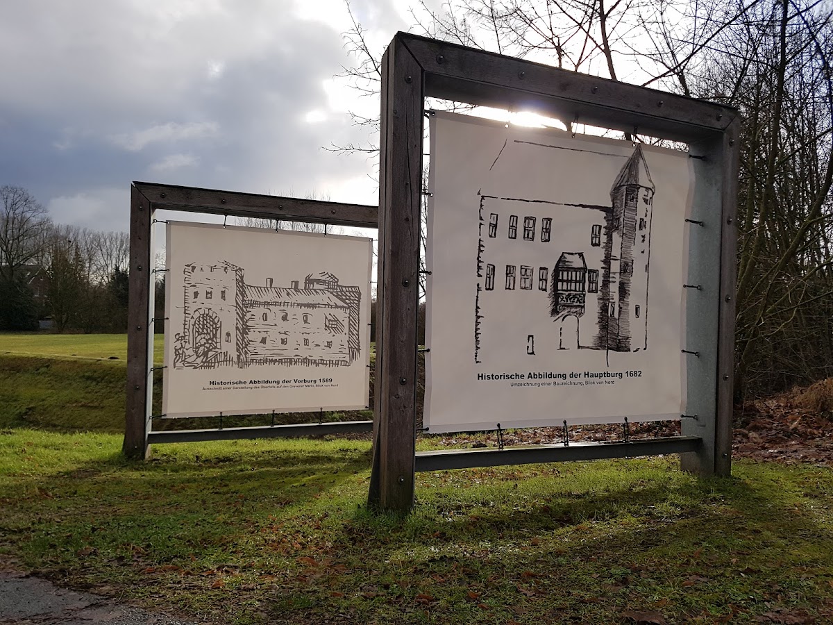
Burg Schöneflieth survives as an archaeological site rather than as a group of standing castle buildings. Its physical remains include a dry moat, portions of masonry fortifications, foundation walls, marked foundations in the former outer bailey, and symbolic reconstructions of elements of the castle. Together, these features identify the arrangement of the later two-island complex.
Main castle island
Moat and eastern entrance
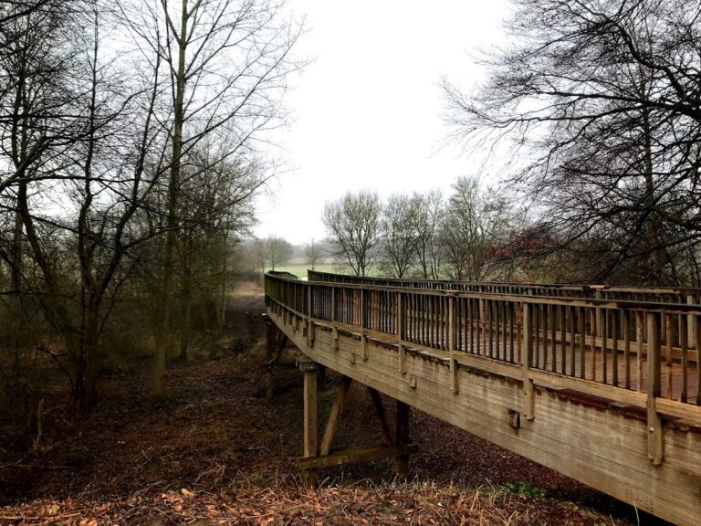
The main castle occupied an approximately rectangular island measuring about 35 by 30 unspecified units. Broad moats protected its outer sides except on the south, and the moat is now dry. Portions of the masonry fortifications remain visible. Access is from the east across a later earth bridge approximately 8 metres wide. The bridge over the castle moat has been symbolically reconstructed, while the island itself is represented by surviving foundations and partial masonry.
Outer bailey and southern water area
Castle pond and former bailey
South of the main island lies the now-dry, partly filled castle pond. The former outer bailey in this area no longer survives as a standing structure, but its foundations are marked. These traces indicate the position of the secondary part of the castle complex in relation to the main island and its surrounding water defenses.
Excavated buildings and gate complex
Excavations in the western part of the outer bailey uncovered the foundations of a building constructed from brick and reused rubble stone. In the northern part, archaeologists identified the remains of a bridge support and the foundations of a two-phase gate complex. Additional foundation remains in the eastern part indicate further former buildings. The marked foundations and symbolic reconstructions preserve the organization of the outer bailey in outline, even though the castle buildings themselves were dismantled.