Bartoszyce Castle: A Teutonic Stronghold in Poland
Site at a Glance
- Rating
- 4
- Popularity
- Very Low
- Country
- Poland
- Primary era
- Unclassified
- Eras represented
- Unclassified
- Civilizations
- Unclassified
- Site type
- Military
- Remains
- Castle
On this page8 sections
History
Bartoszyce Castle is a thirteenth-century Gothic Teutonic stronghold in Bartoszyce, Poland. The Teutonic Order, a medieval military-religious institution that established a territorial state in Prussia through conquest and colonization, founded it on the site of an earlier fortified settlement of the Bartians, a Prussian tribal group associated with the historical land of Barcia.
From Bartian settlement to Teutonic stronghold
The earlier settlement stood within a bend of the Łyna River and was defended by earth ramparts. After early Polish attempts to Christianize Prussia failed, the Teutonic Order conquered Barcia and used the settlement’s defenses and strategic position to establish a wooden-and-earth watch post there in 1240. The stronghold was called Bartenstein, a name connected with “stone” or “rock” and, figuratively, a fortified settlement in Barcia.
During a Prussian uprising against Teutonic rule, the stronghold was captured by the Prussians in 1264. The Order later recovered it, but the castle burned in 1273. Reconstruction introduced masonry elements, and a procurator, a Teutonic administrative official, subsequently administered the castle under the authority of the commander of Balga.
The town and the castle under Teutonic rule
Settlements grew around the stronghold and developed into a town. In 1326, Dietrich von Altenburg granted the settlement a foundation charter on the left bank of the Łyna near the castle and named it Rosenthal, interpreted as “Rose Valley.” On 17 February 1332, Grand Master Luther von Braunschweig transferred the town foundation to the river’s right bank and restored the earlier name Bartenstein.
The castle later held no major position within the structure of the Teutonic state or its commandery, a territorial administrative and military district. An inventory from 1412 lists four guns among its artillery.
Revolt, destruction, and later occupation
In 1440, the townspeople of Bartenstein joined the Prussian League, an association of Prussian towns and estates formed in opposition to Teutonic rule. The town withdrew from the league six years later, but unrest continued. During a renewed revolt against the Order in February 1454, the townspeople completely destroyed the castle.
The castle was never rebuilt in its original form. Its ruins and foundations probably remained under the ownership of the Dukes of Prussia for several centuries. A residence for a ducal starost was later probably erected on the site, incorporating surviving remains.
The site in the modern period
As Bartenstein expanded rapidly, the seat of the Friedland-Bartenstein district was transferred there in 1902. A substantial district-office building was erected on the castle foundations, but it burned completely in 1945 near the end of the Second World War. The building was not reconstructed.
A municipal revitalization program for 2007 to 2013 proposed uncovering the castle foundations and partly reconstructing their outline and defensive walls. The foundations remained covered. A 1684 engraving by Christoph Hartknoch in Alt und Neues Preussen provides the surviving depiction of the castle. Since it was made more than two centuries after the probable destruction, its accuracy is uncertain.
Remains
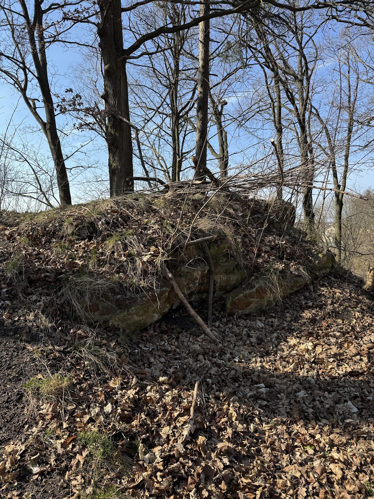
Castle Hill occupies the left bank of the Łyna within a bend of the river. The site was a Gothic Teutonic stronghold whose earliest form consisted of timber and earth, while the rebuilding after the fire of 1273 added masonry construction. The castle foundations and defensive remains lie beneath the hill, where they are covered by the present landscape.
Castle Hill and surviving foundations
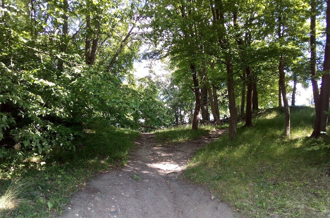
The castle foundations remain beneath Castle Hill, although the site is now covered by a wooded park. Elizabeth Park occupies the foot of the hill. The later district-office building stood directly on the castle foundations until the fire of 1945, linking the modern history of the site with the buried medieval remains.
The 1684 representation
Hartknoch’s engraving presents the castle on a high, broad hill inside the river bend. It appears to show two sections divided by an internal moat. The image provides a proposed impression of the castle’s arrangement, but its late date means that these details require caution when used to reconstruct the medieval site.