Castle in Gorzkowice: An Unfinished Early-Modern Fortification
Site at a Glance
- Rating
- 4.7
- Popularity
- Very Low
- Country
- Poland
- Primary era
- Early Modern
- Eras represented
- Early Modern
- Civilizations
- Polish–Lithuanian Commonwealth
- Site type
- Military
- Remains
- Castle
On this page7 sections
History
Castle in Gorzkowice is an unfinished early-modern fortified complex in Poland, begun in the first half of the seventeenth century as a residence and defensive site. Its construction included the formation of a large earthen mound and the creation of a surrounding water obstacle. The complex is attributed to the Koniecpolski family and represents a fortified layout described as the only example of its type in central Poland.
Construction in the Seventeenth Century
Construction probably took place in the second quarter of the seventeenth century. Jan Koniecpolski, a royal cavalry captain, may have founded the fortress. He served as castellan of Sieradz from 1638 to 1645 and as voivode of Sieradz from 1645 to 1660. The military commander Stanisław Koniecpolski, who was starost of Wieluń from 1606 to 1628, was also active in the surrounding area. The project probably stopped around the middle of the century.
The unfinished state of the complex may be connected with the Swedish Deluge, the series of Swedish invasions and wars that devastated much of the Polish-Lithuanian Commonwealth during the mid-seventeenth century. Archaeological investigations carried out in 1993 showed that the site did not develop into an intensively used or inhabited residence.
Ownership and Historical Interpretation
Direct documentary records concerning the complex have not survived. The estate was associated over time with the Kurozwęcki family in the late fifteenth century, the Myszkowski family of the Jastrzębiec coat of arms, and the Łaski family. The Koniecpolski family held it at the beginning of the seventeenth century, followed later by the Walewski and Zaręba families.
Earlier interpretation identified the earthwork as the remains of an early-modern fortified residence. Poland entered it in the register of monuments in 1967 as an earthen fortification. A local legend tells of a widow from the Sadowski family who refused to marry her former fiancé after he disgraced himself by cooperating with the Swedes during the Swedish Deluge. According to the tradition, she defended the castle, opened its gates when the enemy proved too strong, and then destroyed it with gunpowder.
Modern Conservation and Adaptation
A development project began in 2007, when vegetation was cleared from the earthwork through intervention and community work. In 2009, the municipality obtained rural-development funding for a recreational and sports complex. The Voivodeship Conservator of Monuments, Poland’s regional authority for protecting historic sites, rejected a proposed fortress-shaped amphitheatre because it would have intruded too deeply into the historic structure. A revised design provided a stage adapted for children and people with disabilities, and the revitalized complex was completed in 2011.
Remains
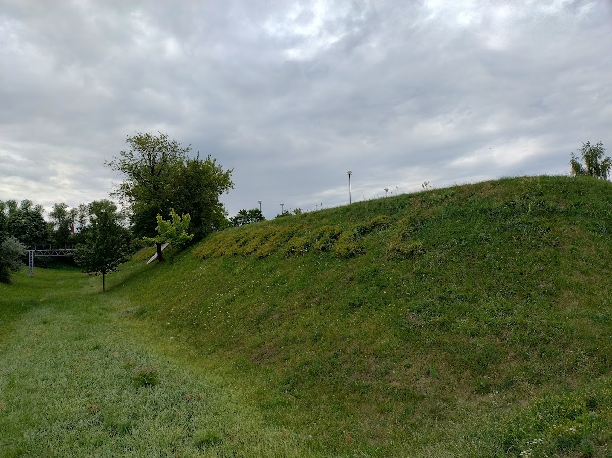
The surviving complex is organized around a steep earthen mound with a rectangular base measuring 95 by 125 metres. Its upper plateau measures 65 by 75 metres and stands 4.5 metres above the surrounding moat, a ditch that formed a defensive water obstacle. The slopes reach an angle of 65 degrees. Two elongated earthworks, each measuring 10 by 30 metres, flank the plateau and extend northward.
Earthen Fortification
Field research identified the mound as an unfinished four-bastion fortification. A bastion is a projecting defensive earthwork designed to protect adjacent walls or connecting sections of a fortification with flanking fire. The earthworks beside the gable ends of the gate building probably began as bastions, while the moat enclosed the defensive layout. The site survives chiefly as this fragmentary earthen structure.
Gate Building
Between the elongated northern earthworks stands the unfinished stone gate building, which formed part of the gate curtain, the connecting fortified wall between defensive projections. The building had a rectangular plan approximately 12.5 to 13 metres wide and 27 metres long, with walls 1.5 to 1.7 metres thick. Its interior was arranged in two parallel sections, each containing four rooms. The gate building was never completed, leaving the earthwork mound as the principal surviving element of the complex.