Hakoinen Castle: A Medieval Hillfort in Finland
Site at a Glance
- Popularity
- Medium
- Country
- Finland
- Primary era
- Medieval
- Eras represented
- Medieval
- Civilizations
- Swedish
- Site type
- Military
- Remains
- Castle
On this page16 sections
History
Hakoinen Castle is a medieval hillfort on a steep-sided rock beside Lake Kernaala in Finland. Its fortifications are commonly dated to the mid-13th century, although an early-14th-century date is also considered possible. The site is often interpreted as a stronghold built to advance Swedish interests in Häme, also known as Tavastia, but its precise purpose and the length of its use remain uncertain.
Origins and proposed purpose
Other proposed dates for the castle’s structures include the late 12th or early 13th century, and the late 13th or early 14th century. Archaeological evidence does not support claims that Hakoinen was used in prehistoric times. Hillforts are generally thought to have offered refuge during unrest, but that function has not been established here.
Tradition connects Hakoinen with a castle that Birger Jarl, a leading Swedish statesman whose title denoted high rank in medieval Scandinavia, was said to have built in Häme. This account appears in the medieval Swedish Erik Chronicle. Other interpretations propose that Germans fortified the site during the crusading period, or that an earlier phase was connected to Danish activity in Uusimaa and Danish Christian influence. These proposals remain uncertain, and publications in the 1990s and 2000s gave little emphasis to the Danish theory.
The fortress may have helped defend against attacks that threatened Swedish rule and perhaps supported tax collection. How fully it served these purposes is unknown.
Names and medieval references
Hakoinen Castle is named after the nearby manor, called Haga in Swedish; the fortress’s original name is unknown. A castle called Tauestahus is first mentioned in 1308. A judgment from 1625 refers to Hakoinen as the “old Tauaste hus,” meaning old Häme Castle. It also upheld the manor’s rights to old meadows that letters from Swedish kings Gustav Vasa and Erik XIV said belonged to the old Häme Castle. These references have prompted the suggestion that Hakoinen was that earlier castle, but they do not prove the identification.
The 1311 attack and the fortress’s decline
The Novgorod Chronicle, a medieval record associated with the Russian city and polity of Novgorod, describes an attack on a fortress in 1311. Hakoinen has been proposed as its target: the hill’s shape fits the chronicler’s description, which calls the defenders Germans rather than Tavastians. The identification is disputed. Other proposed targets include Häme Castle and a fortified settlement at Varikonniemi associated with Vanain.
The construction of Häme Castle in a more central location reduced Hakoinen’s importance. The fortress may nevertheless have remained in use until the 1380s, after which it was abandoned. The castle rock later became part of an estate belonging to the bailiff of Häme Castle, while Hakoinen Manor served as a residence for the castle’s bailiffs.
Archaeological study and the hillfort chain
In the early 20th century, Finnish archaeologists Hjalmar Appelgren, Juhani Rinne, and Julius Ailio led excavations at Hakoinen. The finds have proved difficult to date and support only a broad medieval chronology.
Hakoinen lies near the southern end of a chain of Häme hillforts that follows the Vanajavesi waterway north. One theory proposes that fires on the hillforts carried warning signals. A 1933 test initiated by Jalmari Finne found that signals could not be seen across the whole chain. The sequence tested may have been incomplete, and Jouko Voionmaa later suggested additional signal sites based on place names.
Remains
The medieval fortress had two defensive parts: a main enclosure on the summit and an outer bailey lower on the hill. A dry moat and an earth rampart separated them. The summit stronghold could be reached only by a narrow path on the southeastern side.
Setting and landscape
Rock, lake, and waterways
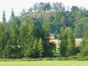
The castle stands on a steep-sided rock whose summit is about 63 metres above Lake Kernaala and approximately 140 metres above sea level. The lake connects by way of the Hiidenjoki and Vanajavesi waterways to the Gulf of Bothnia. A nearby narrow isthmus also gives passage to rivers that flow toward the Gulf of Finland. Work on the Lempäälä rapids in the mid-19th century lowered the Vanajavesi water level, leaving the shoreline farther from the hill.
Manor and surrounding landscape
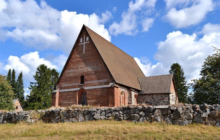
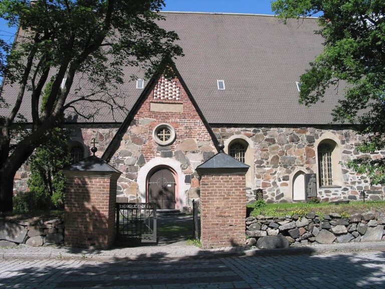
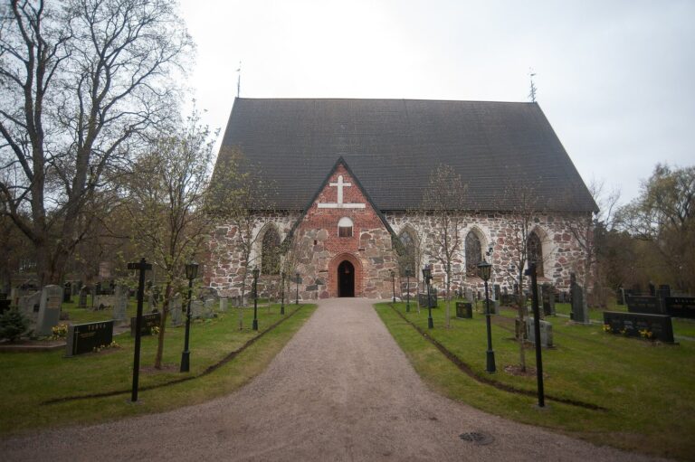
The manor buildings and cultivated fields lie beside the hillfort, and the fields may belong to a very old farming landscape. Views from the summit extend in all directions, including to Janakkala’s late-medieval Church of St Lawrence. A spring beside the church is traditionally said to have been used to baptize local inhabitants. The surrounding area is regarded as one of Finland’s most important cultural landscapes.
Present surface and plant life
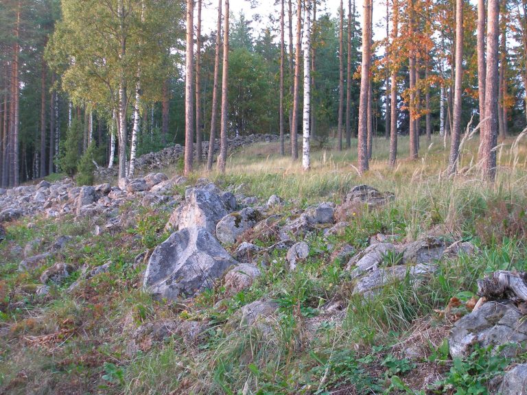
After the early-20th-century investigations, the excavated remains were covered with earth. Trees and shrubs now grow over the area, and little of the castle can be seen above ground. Plants found at the hillfort include Verbascum nigrum, Arabis glabra, Allium oleraceum, and Trifolium arvense. Small-leaved lime (Tilia cordata) and hazel (Corylus avellana) grow naturally on the slopes and in the lush, grove-like forecourt. Hazel is also widespread in the wider Vanajavesi–Hattelmalanharju area.
The summit stronghold
Enclosure wall
The summit enclosure was roughly triangular. Its perimeter wall was built of gray stone, possibly with some brick, and had foundations about 2.5 metres thick. The wall may have risen several metres, with a defensive walkway along its top. It has disappeared around the presumed gate.
Buildings within the enclosure
At the northeastern corner, foundations survive from a building divided into two rooms. They measure about 27 by 12 metres, and the structure may have stood as high as two storeys. One room contained a fireplace that may have had a chimney. At the western corner, part of a very small building made wholly or partly of brick was uncovered. Juhani Rinne considered it later than the other defenses and suggested it might have been part of a main tower. The castle probably had a tower.
The outer bailey
Bank, defenses, and entrance
The outer bailey lay east and south of the rocky hill, about 20 metres below the summit, and was intended to protect the main stronghold and its approach. It consisted of a semicircular bank, with earth raised over intersecting timber defenses. A foundation of a gray-stone perimeter wall, built without mortar, was visible along the bank in the early 20th century. At the gate, the foundation widened to form a longer entrance that was easier to defend. The lower defenses were mostly wooden.
Domestic and economic area
A wooden dwelling and a well stood within the outer bailey. Julius Ailio considered the area to have served domestic or economic purposes. Objects recovered there are mainly dated to the second half of the 13th century; a few have been tentatively assigned either an earlier date or the 14th century.