Kanał Raduni: The Medieval Canal for Gdańsk’s Water Supply and Mills
Site at a Glance
- Popularity
- Medium
- Country
- Poland
- Primary era
- Medieval
- Eras represented
- Medieval, Early Modern, Modern
- Civilizations
- Crusader, Polish–Lithuanian Commonwealth, Teutonic Order
- Site type
- Infrastructure
- Remains
- Canal
On this page11 sections
History
Kanał Raduni is an artificial canal in Pruszcz Gdański and Gdańsk, Poland, constructed by the Teutonic Order between 1348 and 1356. It brought fresh water to Gdańsk, including its Teutonic castle, powered mills and workshops, and supplied water to the city’s and castle’s moats.
Construction and medieval water supply
The decision to build the canal was made in 1333–1334. Its route was laid out in 1338, the year it first appears in a surviving record, a privilege for Orunia. Gdańsk records mention it from 1342. A gated sluice, which regulated water from the Radunia, was built near Pruszcz in 1347, before construction of the canal itself.
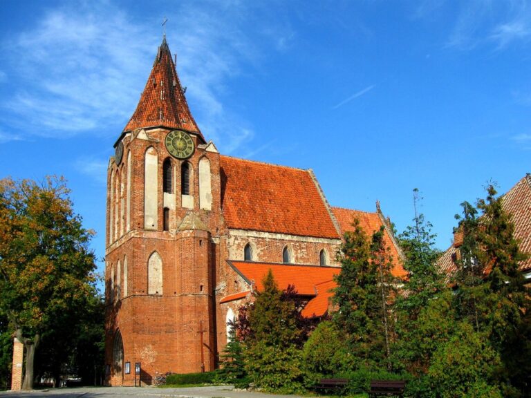
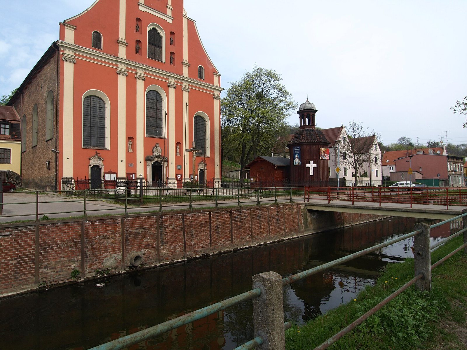
The project is often associated with Winrich von Kniprode, then a commander of Gdańsk and later a Grand Master, the senior leader of the Teutonic Order. The initiative, however, came from another Gdańsk commander, Jordan von Vehren. An early name for the watercourse was Młynówka, meaning “Mill Stream,” reflecting its use to drive machinery. The Teutonic Knights built a watermill at Pruszcz, which Jacob van den Blocke and Jan Strakowski modernized in 1619. A bastion, a projecting part of a fortification, guarded the strategically important canal between the sluice and the Church of the Exaltation of the Holy Cross in Pruszcz.
Waterworks and changing city defenses
A pumping station established near present-day Targ Rakowy in the first half of the sixteenth century began operating in 1539. Known as Kunszt Wodny in Polish and Wasserkunst in German, it pressurized the drinking water carried to Gdańsk. It remained in operation until 1852.
In the late sixteenth century, Gdańsk’s new fortifications required the canal to cross the ramparts. A vaulted passage through the left face of St Elizabeth’s Bastion was completed in 1563. An aqueduct, a structure carrying water across an obstacle, managed the difference in level between the canal and the moat. Around 1636, the stone aqueduct was replaced by a wooden passage. It remained until the ramparts were levelled in the late nineteenth century.
Until the 1640s, the canal emptied into the Vistula near what is now Rybaki Górne Street. Its outlet was then redirected to the Motława.
Flooding and modern protection
On 9 July 2001, 127.7 mm of rain fell in eight hours, while the usual rainfall for the entire month of July was 68 mm. The canal carried 125 m³/s, far above its capacity of 25 m³/s. Water overtopped its banks near Serbska, Gościnna and Niegowska streets and near properties at Trakt Świętego Wojciecha 417 and 450. The resulting flood caused extensive damage in Orunia, Lipce, Święty Wojciech and Śródmieście.
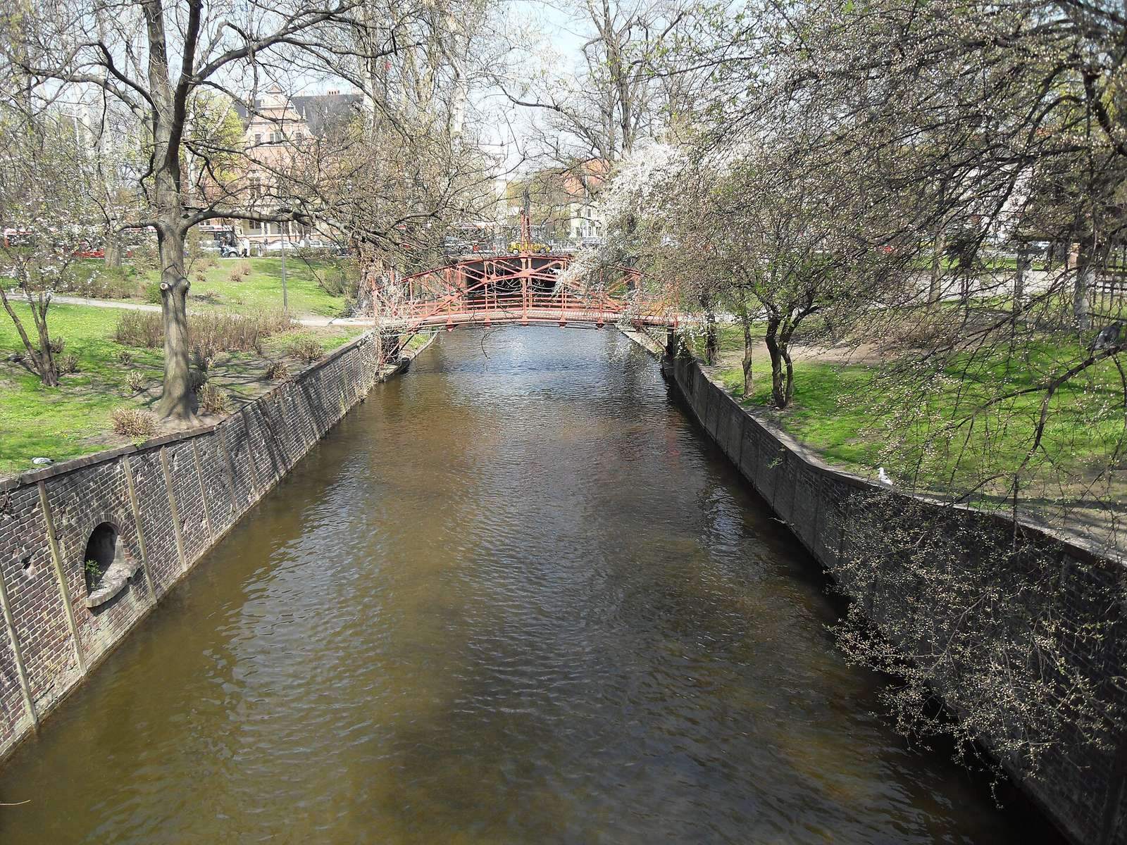
Kanał Raduni was entered in the regional heritage register on 18 May 1981. Flood-protection modernization followed in phases from 2011 to 2015. The work protected canal banks, strengthened and sealed the flood embankment, replaced pedestrian bridges whose supports impeded water flow, and removed utility networks crossing the channel.
Remains
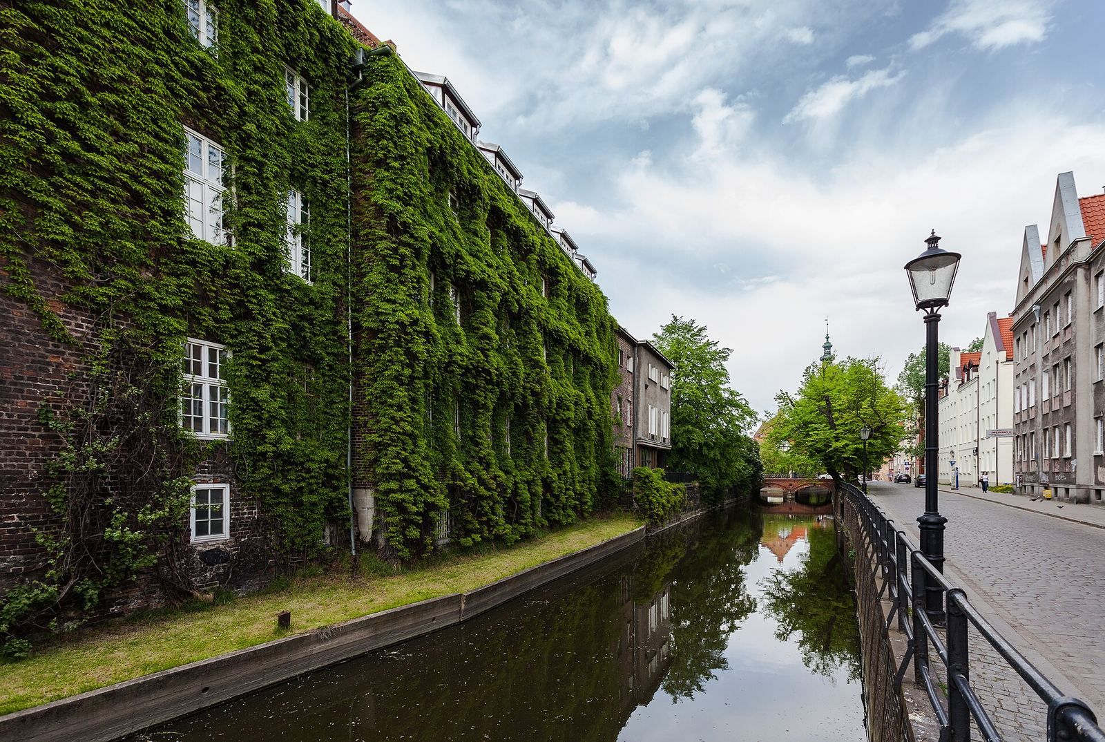
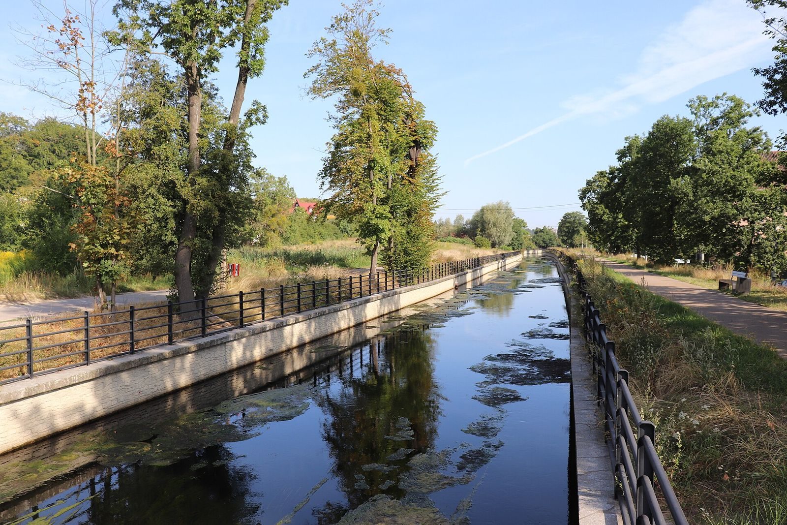
The canal is an engineered open watercourse, about 13.5 km long, with an average depth of roughly 2 m and a width of approximately 5 to 15 m. It begins in the waters of the Radunia near Juszkowo, southwest of Pruszcz Gdański, and ends in the Motława near the northern end of Ołowianka. Its route combines a winding stretch beside the Radunia with straighter sections through the outskirts and central districts of Gdańsk.
Course and water control
Route and landscape
From Pruszcz Gdański the canal runs north, then turns along a winding course toward Święty Wojciech. For about 3 km it runs parallel to the Radunia, between 35 and 180 m from the river; an outlet back to the Radunia lies in southern Święty Wojciech. The channel then follows a straighter line beneath the foot of Święty Wojciech Hill and continues through Lipce and Orunia. The Rotmanka Stream joins the winding section, while the Oruński Stream enters near Góra Gliniana, beside the Oruński Stream Valley protected natural-landscape area.
Along its course, Kanał Raduni passes through Pruszcz Gdański, Święty Wojciech, Ostróżek, Lipce, Orunia, Ptaszniki, Oruńskie Przedmieście, Stare Szkoty and Zaroślak, then through Główne Miasto, Stare Miasto, Osiek and Zamczysko. In the center, it passes through a siphon, a closed passage that carries water beneath an obstruction, under railway lines 9 and 250. The canal reappears about 300 m later near Targ Sienny. After a further roughly 300 m, it runs underground beneath the New Town Hall and Wały Jagiellońskie, emerging about 150 m beyond. It is briefly visible within Forum Gdańsk.
Flood outlets and water-control structures
At Zaroślak, two outlets connect the canal to the Opływ Motławy, a bypass watercourse associated with the Motława, allowing floodwater to be discharged. Four weirs, low barriers used to regulate water levels or flow, are located at Pruszcz Gdański, Święty Wojciech, Zaroślak and Stare Miasto.
Industrial features and crossings
Mill Island and power installations
In Gdańsk’s historic center, the canal forms a small island containing the Great Mill and the Small Mill. Two waterfalls are also located on the Great Mill Island. The Great Mill was Europe’s largest industrial plant in the Middle Ages. The canal’s associated installations also include the Pruszcz I hydroelectric plant.
Embankment and bridges
A broad embankment follows the canal from the northern end of Pruszcz to Zaroślak. An avenue of chestnut trees grows along it; the embankment is also used as a cycling path, although its formal role is a service road. Between Święty Wojciech and Stare Szkoty it widens, with residential buildings standing close to the canal. The route has 27 road bridges and 29 pedestrian footbridges. Two bridges built beside Raciborskiego Street in 2016 and 2017 stand on opposite sides of the street, one to the south and one to the north. A bridge near the Gdańsk–Pruszcz Gdański boundary, built in 2018 from recycled-plastic composite material, and the reconstructed Starogardzka Street bridge also cross the canal. Near Ferber Manor in Lipce, a 15 m long and 2.5 m wide pedestrian bridge was installed in 2020.