Vidin Fortress: A Medieval Urban Fortification in Bulgaria
Site at a Glance
- Popularity
- Medium
- Country
- Bulgaria
- Primary era
- Early Modern
- Eras represented
- Medieval, Early Modern, Modern
- Civilizations
- Ottoman
- Site type
- Military
- Remains
- Wall
On this page10 sections
History
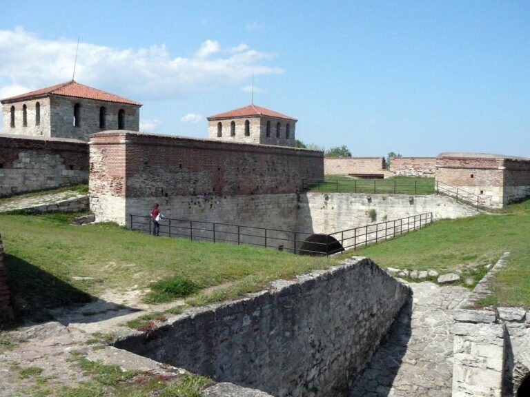
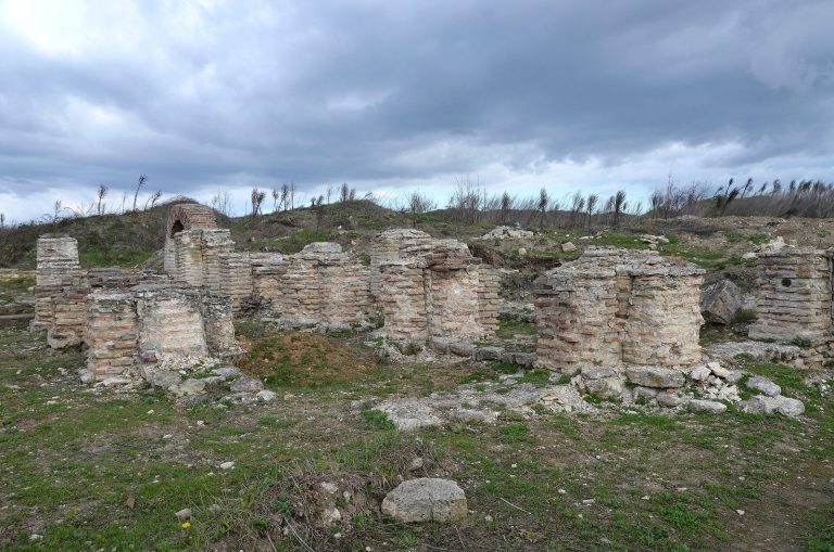
Vidin Fortress is a medieval urban fortification in Vidin, Bulgaria, developed to defend the city, its garrison, and the citadel of its ruler or governor. Its defenses took shape in three rings, and parts of the fortress were built over the foundations of the ancient Roman fortress of Bononia.
Medieval defenses and attacks
A crusader army led by Władysław III of Poland and Hungary and the Hungarian commander János Hunyadi attacked the old fortress around 26 September. The army stayed for several days and devastated the suburbs, while many local Bulgarians joined its ranks. The fortress’s capture by the crusaders is unproven.
Ottoman reconstruction and conflict
The fortress’s last reconstruction began in 1704. It was designed by Gezar Mustafa, an engineer who had converted to Islam, and built by Bulgarian Christian master craftsmen Gigo, Nikola, and Tanas. Work was completed in 1735, apart from the outer earthwork. The Ottomans called the stronghold the “Virgin Fortress,” reflecting its reputation for never having been taken by force.
On 8 May 1792, Osman Pazvantoğlu, an Ottoman provincial leader and military commander, attacked the fortress with support from Janissaries, elite Ottoman infantry, from Vidin and Belgrade. The assault on the fortress and the residence and administrative headquarters of governor Izet Ahmed Pasha failed. The outer earthwork, known as Reduta, was completed around 1838.
Sieges and wartime defenses
During the Russo-Turkish War of 1877–1878, fought between the Ottoman Empire, Russia, and its allies, Romanian forces besieged Vidin Fortress. Ottoman commanders strengthened the approaches from Smardan and Inovo, which they considered vulnerable, with three redoubts, small defensive forts, and other fieldworks. Fierce fighting took place at Archar in November 1877 and at Smardan. The fortress held out through the siege in January 1878. Ottoman forces handed it over only on the Sultan’s orders, after the Armistice of Adrianople had been concluded.
In the 1885 Serbo-Bulgarian War between Serbia and Bulgaria, Captain Atanas Uzunov ordered Danube water into the fortress moat. The flood covered the surrounding area and left Vidin encircled by water like an island. Serbian forces besieged the fortress and city in July 1913 during the Second Balkan War, a conflict among Balkan states, but the siege failed. Vidin Fortress is designated a monument of architecture and construction of national significance.
Remains
The partially preserved fortress covered about seven square kilometres and comprised an outer town, including the Varosh district, and an inner town of about 1.5 square kilometres. Its defenses followed three rings: the citadel and inner town, the stone-walled middle ring, and the more distant outer earthworks.
Citadel and inner town
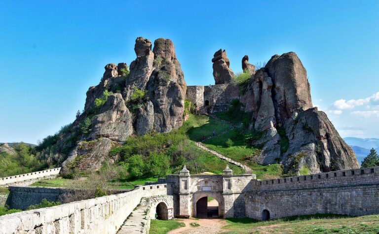
The innermost defensive ring is the Baba Vida citadel on the bank of the Danube, surrounded by a water-filled moat. Within the inner town stood the ruler’s castle and administrative and residential buildings for the garrison and prominent residents. The area is now occupied by the Kaleto district.
Middle ring: walls, moat, and gates
Walls and moat
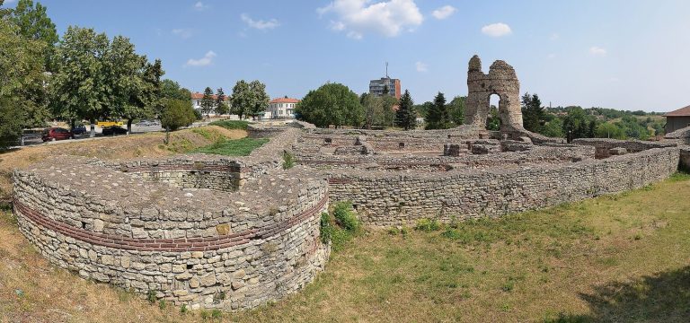
The middle ring stood 500 to 1,000 metres beyond the inner defenses on the landward side. Stone walls followed the riverbank and curved around the city on land. Along the river, the walls were doubled, leaving a channel for water between them. A water-filled moat in front of the defenses was about 18 metres wide and 5 to 6 metres deep. About two-thirds of its northern half survives, along with a small section of the walls. The southern half of the moat was filled in, and Rova Park now separates Kaleto from newer parts of the city.
Gates and quays
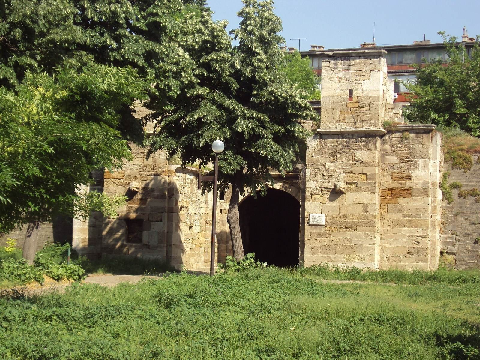
The middle ring had 13 stone gates, six facing the river and seven on land. Movable wooden bridges crossed the moat at the gates, while openings in the walls allowed guns to fire outward. Massive walls enclosed the quays in front of the river gates. Most gates survive. Stambol Gate, the main entrance, stands beside Bdintsi Square; Top Gate is near Baba Vida, and Telegraph Gate is in the Danube Garden. Telegraph Gate takes its name from a nearby Turkish telegraph and post station.
Outer earthworks
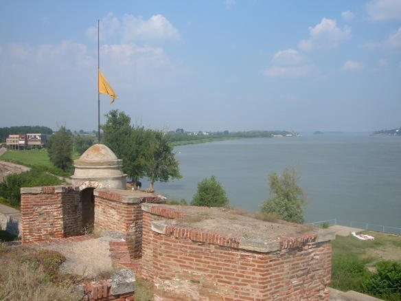
The outer ring lay about one kilometre beyond the middle defenses. It consisted of an irregular arc of earth rampart, redoubts, and other fortifications, with a water-filled moat outside. The rampart extends from the present-day velodrome, near the former Vidbol Gate on the river, to the Bulgarian terminal of the former Vidin–Calafat ferry at Port Vidin North. Reduta Street follows its city-facing side. Most of the rampart survives, though it is deteriorating.