Castra Martis: Roman Fortress and Bishopric in Bulgaria
Site at a Glance
- Rating
- 4.6
- Popularity
- Low
- Country
- Bulgaria
- Primary era
- Classical
- Eras represented
- Classical, Medieval
- Civilizations
- Byzantine, Roman
- Site type
- Military
- Remains
- Fort
On this page10 sections
History
Castra Martis was a Roman fortified garrison at Kula in northwestern Bulgaria, later becoming a town and bishopric. Probably established under Emperor Diocletian in the late third or early fourth century, it formed part of the restored Danubian frontier after Rome lost Dacia north of the Danube. The fortress guarded the road from Bononia to Singidunum through the Vrashka Chuka Pass in the western Balkan Mountains. Its name refers to Mars, the Roman god associated with war and military power.
Before and during the Roman frontier
Before the fortress was built, a small Thraco-Roman settlement occupied the slope. Human occupation there extended back to the first millennium BC, giving the later military site a pre-Roman background. Castra Martis developed within the Roman effort to reorganize and strengthen the Danubian border during the late empire.
The larger military camp south of the original fortification was fortified by the second quarter of the fourth century, probably under Constantine the Great and his successors. By 343, Castra Martis had a Christian bishop whose participation in the Council of Serdica, a fourth-century council held at ancient Serdica, modern Sofia, demonstrates the town’s place within the ecclesiastical organization of the region. The bishopric was a suffragan diocese, meaning one under a metropolitan archdiocese, of Ratiaria, the provincial capital of Dacia Ripensis. This late Roman province formed part of the lower Danube frontier, and the diocese lay within the ecclesiastical sphere of the Patriarchate of Constantinople. The recorded bishop of Castra Martis was Calvus.
Late Roman conflict and Byzantine restoration
In 377, Emperor Gratian passed the fortress with his troops while traveling toward Thrace. In 408, the Huns under their leader Uldin briefly captured Castra Martis, apparently through treachery. These events occurred during a period when Roman frontier strongholds faced pressure from military movements across the Balkans.
Emperor Justinian I extensively restored the fortress during the sixth century. The reconstruction did not secure its survival indefinitely. An Avar invasion in 586–587 destroyed Castra Martis, after which the site was abandoned.
Medieval reuse and modern identification
The fortification was partly restored and reused during the thirteenth and fourteenth centuries to help defend the Vidin Tsardom, a medieval Bulgarian polity centered on Vidin. Its later history entered modern scholarship when Felix Kanitz, an Austro-Hungarian historian, ethnographer, and traveler who studied the Balkans, identified the ruins as Castra Martis during visits to Kula in the 1870s. He made two engravings showing the fortress and its surroundings.
The ruins later faced the threat of almost complete demolition when Ottoman authorities modernized the town. The structure survived because the owner of a house on the property refused to allow its demolition. In 1933, the historical diocese was nominally re-established as the Latin Catholic titular see of Castra Martis, also known as Castra di Marte and Castromartianus. A titular see preserves a bishopric as an ecclesiastical title even though it is no longer an active residential diocese.
Remains
Fortress setting and layout
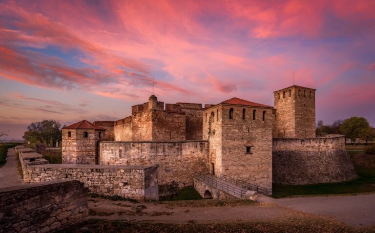
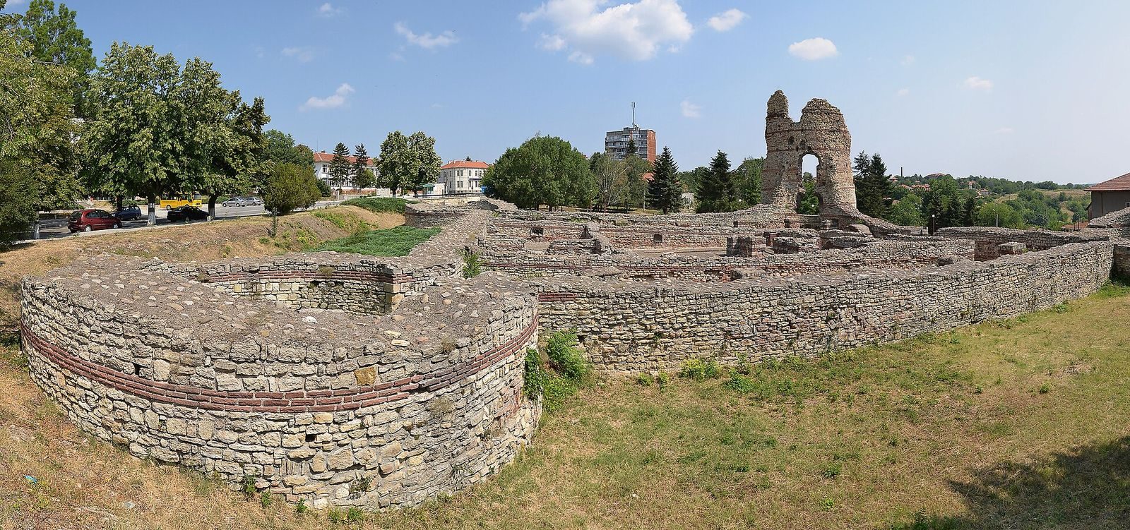
Castra Martis occupied a steep southern slope above the gorge of the Voynishka River, in the center of present-day Kula. The complex had two principal parts: a compact square quadriburgium, a late Roman fortification strengthened by substantial corner towers, and a larger castellum, a Roman military fort, to its south. The two elements were coordinated with the terrain, while the larger enclosure was built in relation to the pre-existing square fort.
Quadriburgium
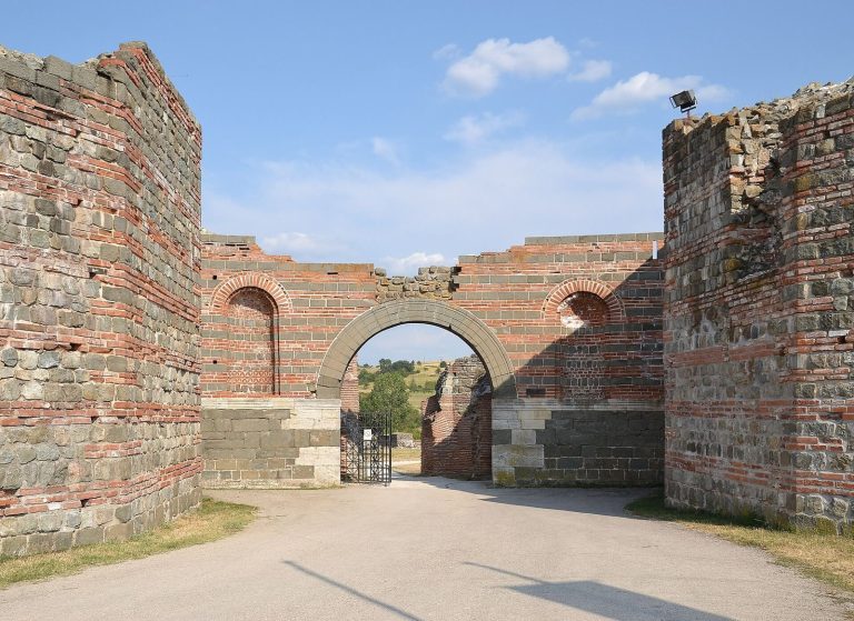
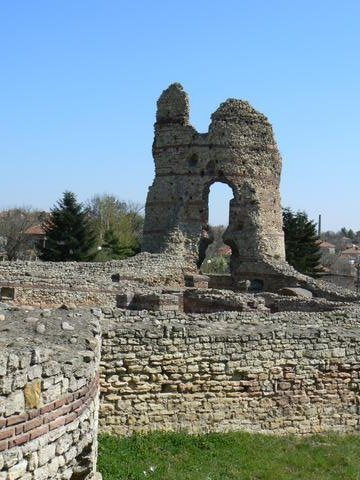
The quadriburgium measured 40 by 40 meters. Four large corner towers, each 12.5 meters in diameter, reinforced its stone walls, which incorporated three horizontal bands of brick. The walls were 2.2 meters thick and survive to an average height of about 2 meters above the floors. The southeastern tower rises to approximately 16.3 meters and is the prominent ancient tower from which the modern name Kula derives. The quadriburgium is substantially preserved and has been fully exposed through archaeological excavation.
Entry was possible only from the south through a gate fitted with a double-leaf door. Probably in the late fourth century, a second and narrower wall was built 3.3 meters in front of the original entrance. This addition created guard rooms and a gate tower, reinforcing the approach to the small fort.
Lower fortress and civilian area
Castellum
The castellum covered 15.5 decares, approximately 155 ares, and followed the natural ground in an irregular quadrilateral plan. Seven polygonal towers protected its walls, which were about 4.3 meters thick. Its central building stood against the northern wall. Inside, a courtyard containing a well was surrounded by two-storey rooms probably connected with the fortress commander. A large room north of the courtyard had a special function, possibly storing military standards and serving as a place where the command staff assembled.
Roman bath
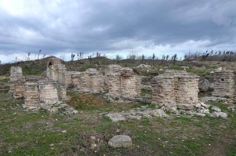
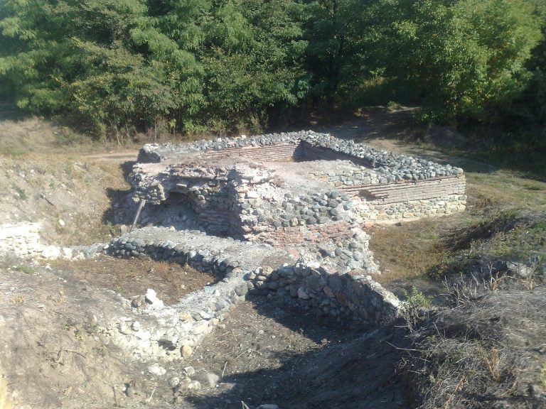
Foundations of a Roman bath lay northwest of the fortified complex. Their position indicates that a civilian population lived outside the walls, extending the settlement beyond the military enclosures.