Fort Everdingen: A New Dutch Water Line Fort
Site at a Glance
- Popularity
- Medium
- Country
- Netherlands
- Primary era
- Modern
- Eras represented
- Modern
- Civilizations
- Dutch
- Site type
- Military
- Remains
- Fort
On this page9 sections
History
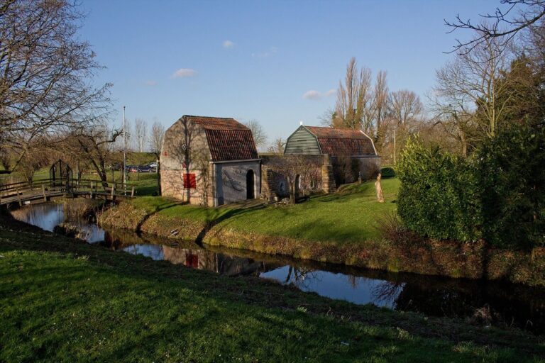
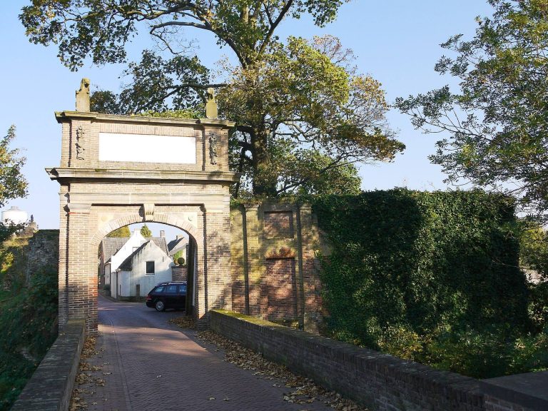
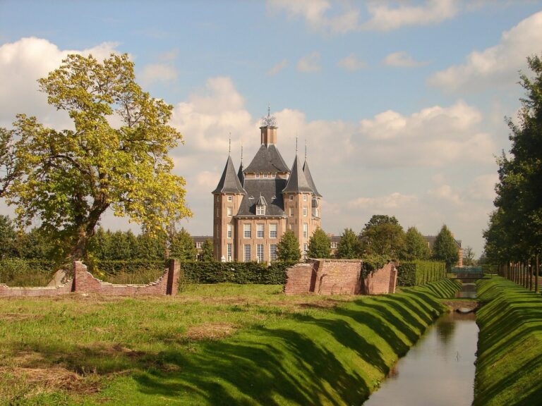
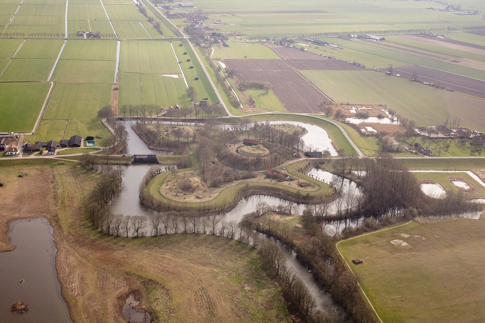
Fort Everdingen is a fort where the Lekdijk and Diefdijk meet, on the boundary between Vijfheerenlanden in Utrecht province and Culemborg in Gelderland province, Netherlands. The Dutch built it as part of the New Dutch Water Line, a defensive system that used controlled flooding to impede advancing forces. Together with Fort Honswijk, it formed the Lek access, a route across ground left dry when surrounding land was flooded. The fort takes its name from the nearby village of Everdingen.
Nineteenth-century expansion
During the nineteenth century, Fort Everdingen was substantially altered and enlarged. The work strengthened its vulnerable front and created more space for soldiers and military equipment.
Military service and later use
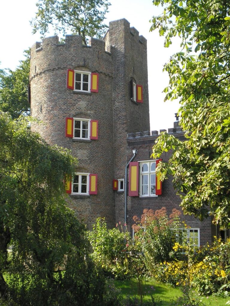
From the 1950s, the Dutch Explosive Ordnance Disposal Service, a military organization responsible for dealing with explosive ordnance, used the complex to store ammunition and explosives. The tower housed classrooms and an exhibition space for trainees, who also practised locating explosives on a grass field within the grounds.
After the service moved to the Sergeant-Major Scheick Barracks in Soesterberg, the fort passed to the Ministry of Economic Affairs in 2014. At the end of that year, it was allocated to the specialty-beer brewery Duits & Lauret, which established a brewery there and carried out related and other activities. A Fort Everdingen foundation was established to guide future use according to the principle of “preservation through development.” The fort is protected as a national monument in the Netherlands.
Remains
The fort’s surviving features combine brick structures, earth-covered buildings and water-control works. They include defensive works at the front, buildings within the complex, and traces of military activity in the surrounding area.
Fort structures
Counterscarp gallery
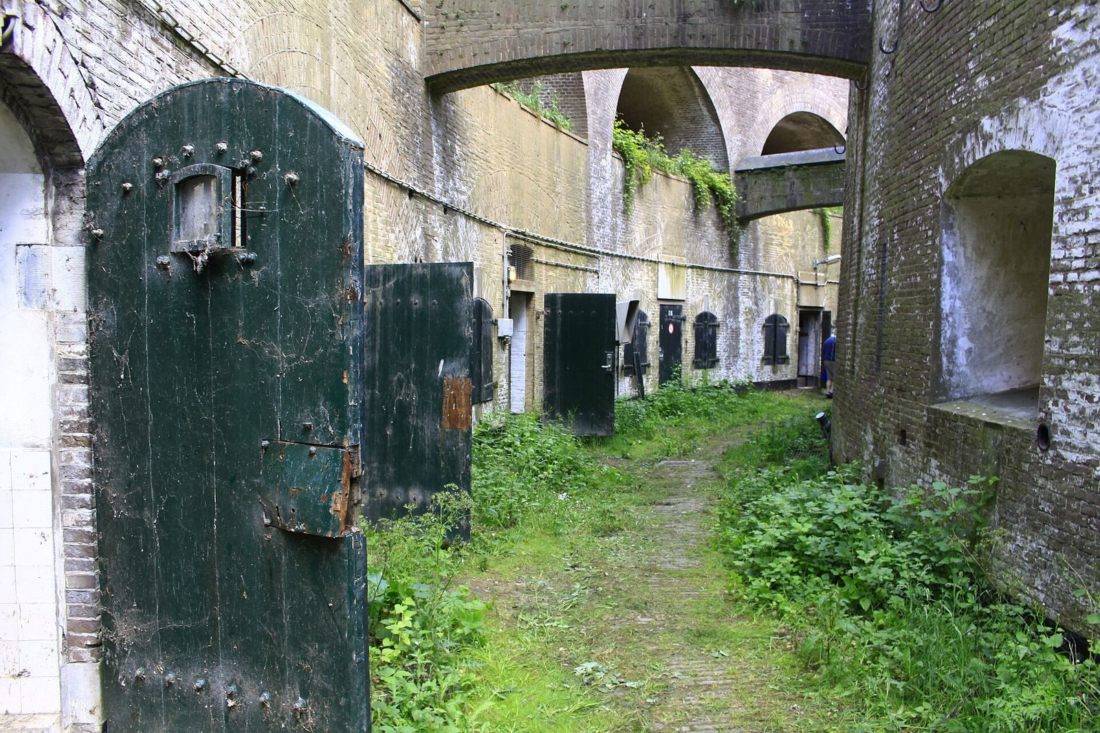
Built in 1874 around most of the vulnerable front, the counterscarp gallery is a protected passage along the outer side of a fortification ditch. A several-metre-thick earthen bank covered the two-storey brick gallery at its base. A covered passage through the fortification connected it directly to the front rampart, giving soldiers access to that defensive position.
Earth-covered buildings and warden’s house
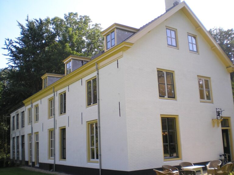
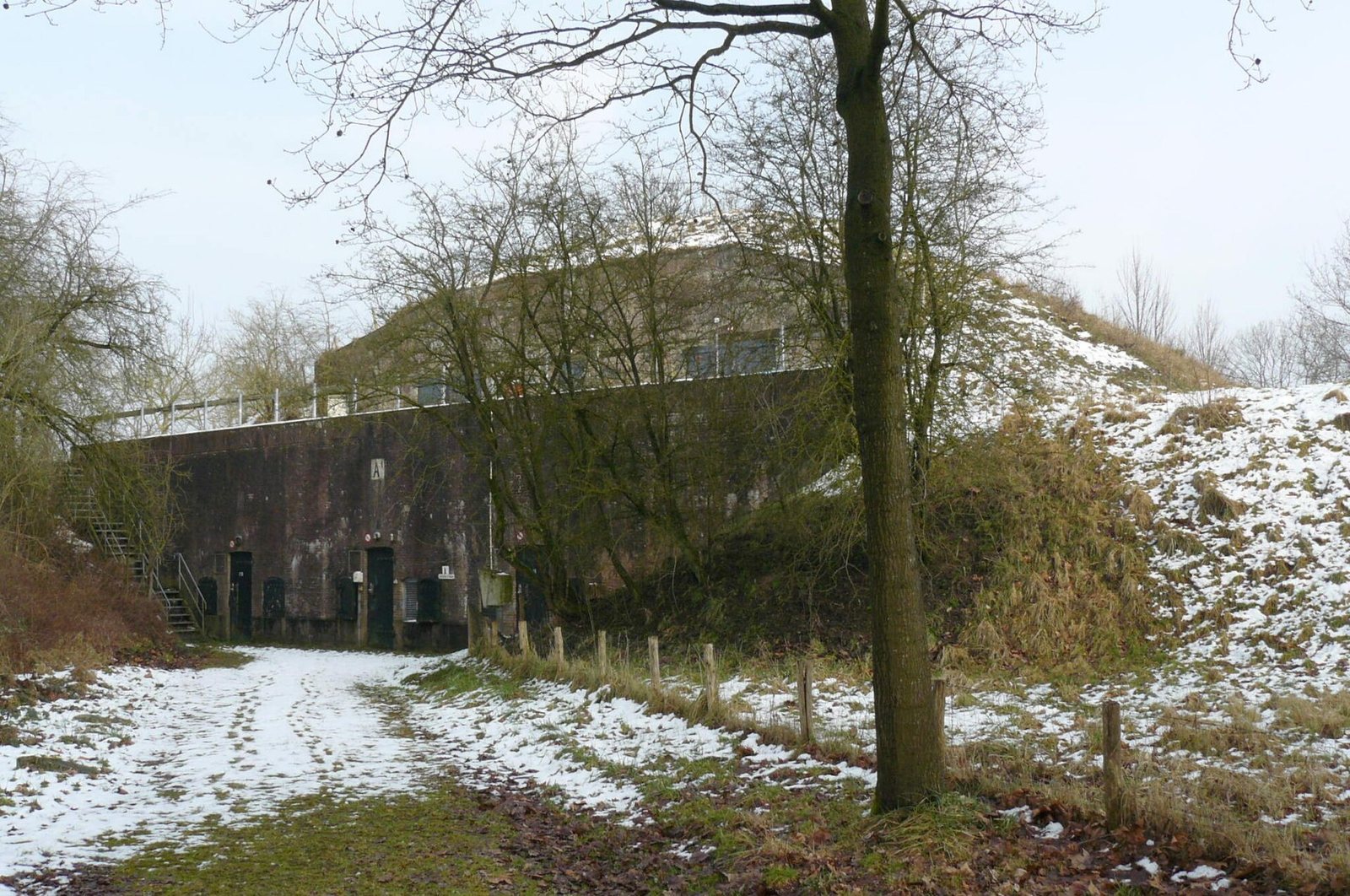
Buildings A and B were completed in 1877, each with three storeys beneath an earthen covering. Cannons were kept on the upper floor and ammunition on the lowest; Building A is identified as bombproof. The fort warden’s house was completed in 1880.
Water-control works
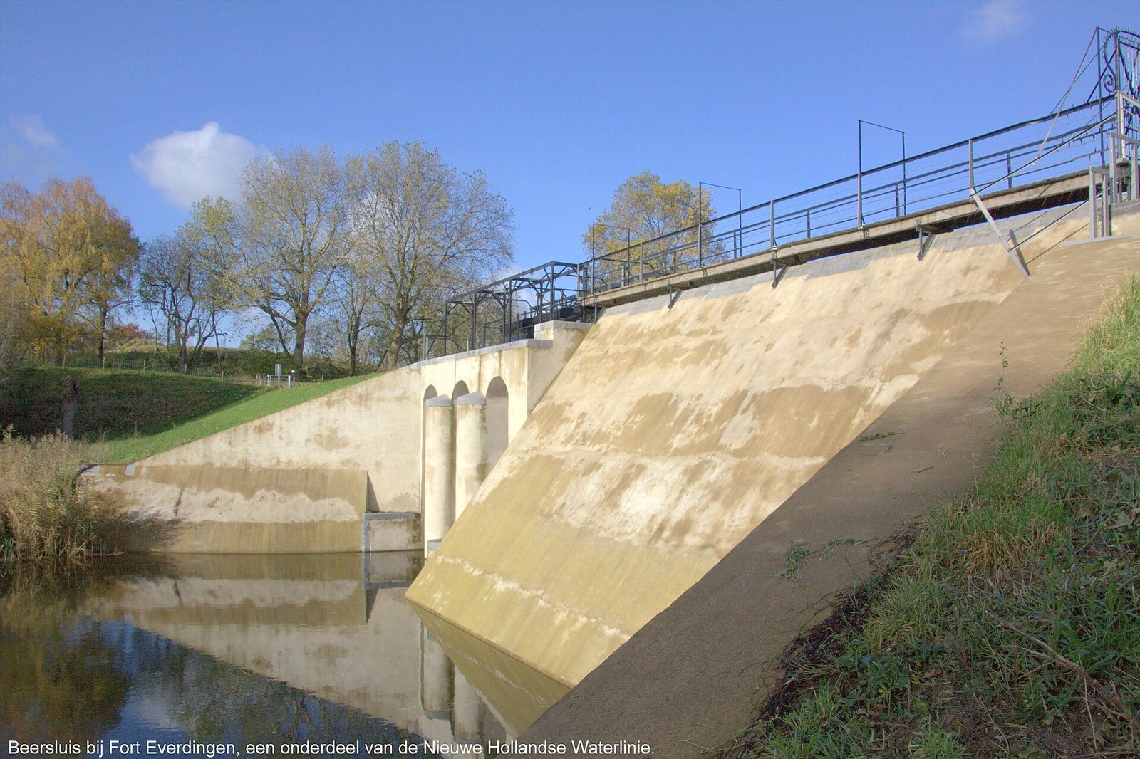
Three sluices near the fort controlled flooding in the polder between the Diefdijk and Culemborg. The most prominent, east of the fort, combined an inlet sluice with a dam that regulated water levels. It was used alongside the fan sluice at Werk aan het Spoel, a water-control sluice with gates arranged to regulate flow.
Surrounding military remains
The surrounding area retains remains from the mobilizations of 1914–1918 and 1939–1940, including several Type P group shelters, a standardized form of military shelter, and a bullet trap.