Burg Turmberg: A Medieval Castle Ruin and Observation Tower
Site at a Glance
- Popularity
- Medium
- Country
- Germany
- Primary era
- Medieval
- Eras represented
- Medieval, Modern
- Civilizations
- Holy Roman Empire
- Site type
- Military
- Remains
- Castle
On this page8 sections
History
Foundation and changing ownership
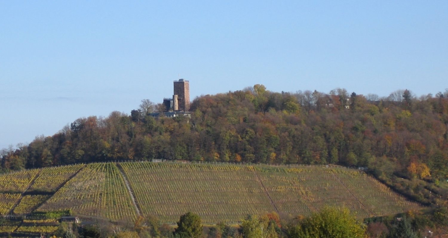
Burg Turmberg is a castle ruin on Turmberg, about one kilometre east of central Durlach in Karlsruhe, Germany. The counts of Hohenberg built it in the second half of the 11th century as their ancestral seat. Its owners later included the counts of Grötzingen, the Hohenstaufen, a medieval ruling dynasty, and the margraves of Baden, rulers of a frontier territory.
Destruction and later use
In 1279, Konrad III of Lichtenberg, then bishop of Strasbourg, destroyed the castle. By the middle of the 16th century, the keep was the only part still standing, and it was used as a lookout over the surrounding territory. The surviving keep now serves as an observation tower.
Remains
The castle occupied the tip of a spur on Turmberg, about 256 metres above sea level. Its remains include the former enclosure and the surviving keep, which rises above the surrounding site.
Castle enclosure
The enclosure included a polygonal curtain wall, an enclosing defensive wall, about two metres thick. Within it stood a residential tower measuring approximately 12 by 12 metres. A neck ditch, a defensive ditch cut across the narrow landward approach, protected the spur.
Keep and observation features
Stonework and original form
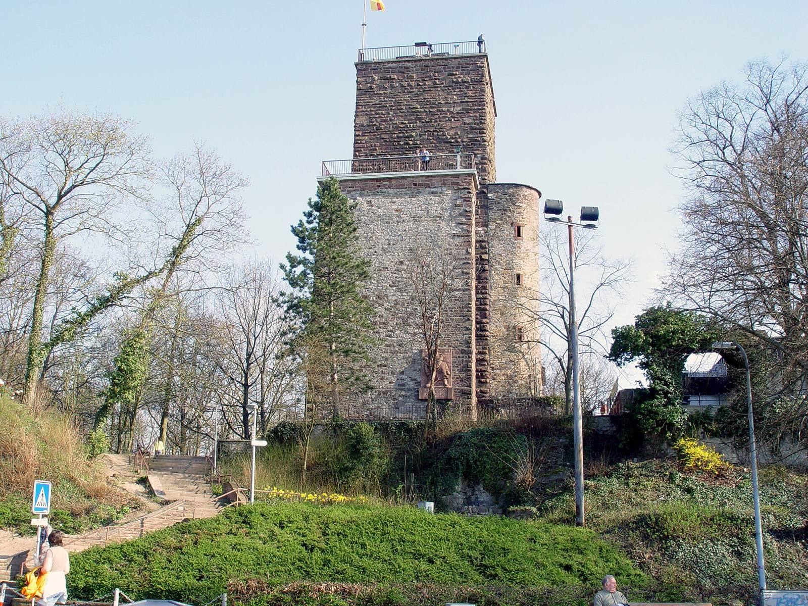
The keep was built from sandstone blocks with projecting, roughly dressed faces. It originally stood 25 metres high, with a base measuring about 11.7 metres on each side and walls 2.5 metres thick. Its entrance was nine metres above ground. The surviving structure is about 32.3 metres high.
Platforms and pillars
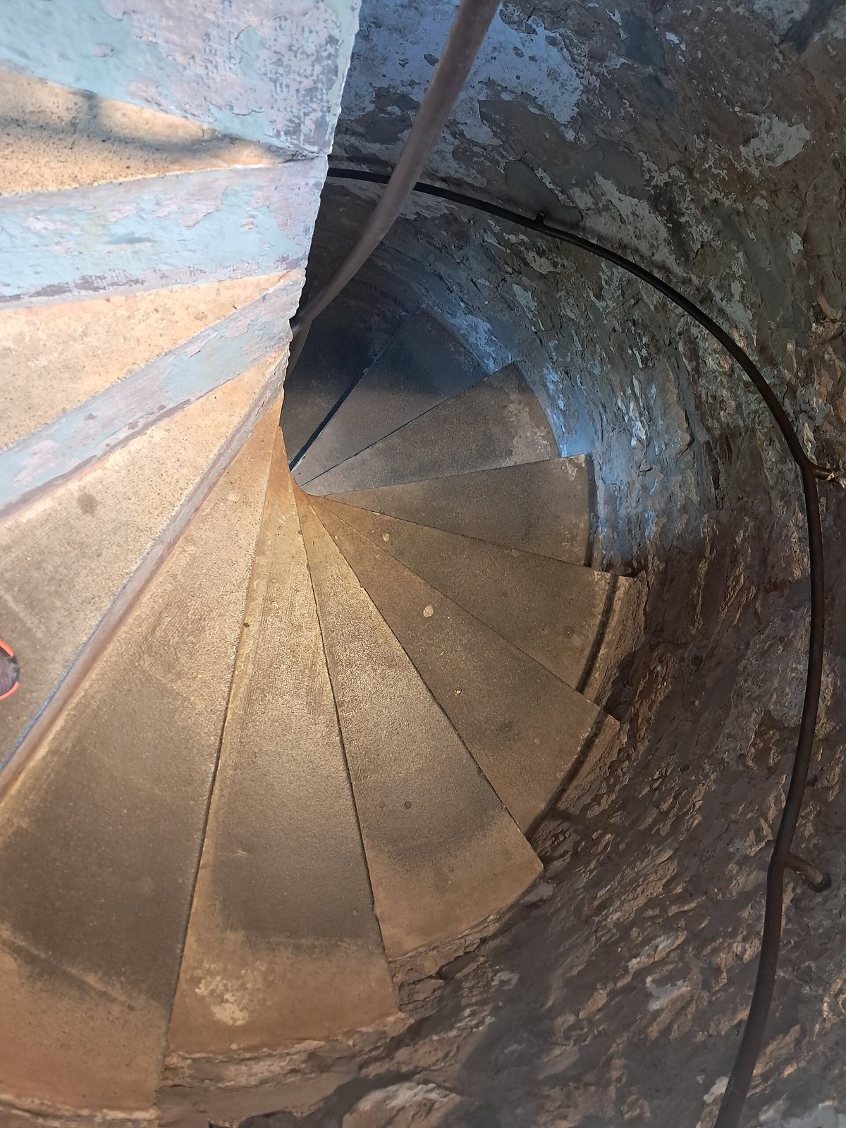
The lower observation platform stands 16.3 metres above ground and forms a bridge-like link to a pillar west of the tower. An alarm cannon or bell once stood on that pillar, whose valley-facing side carries a memorial plaque to those who died in the First World War. Inside the keep, a concrete staircase leads to the upper platform, 29.6 metres above ground. A survey pillar on the platform, a fixed marker for measuring the Earth, is associated with the 19th-century European Arc Measurement, a European association coordinating such measurements. The pillar was renewed in 1951. From the upper platform, views extend over Karlsruhe and the Rhine plain, with the Palatinate Forest and the Vosges visible in the distance.