Tibbers Castle: A Medieval Stronghold in Scotland
Site at a Glance
- Popularity
- Medium
- Country
- United Kingdom
- Primary era
- Medieval
- Eras represented
- Medieval
- Civilizations
- English
- Site type
- Military
- Remains
- Castle
On this page10 sections
History
Origins and English occupation
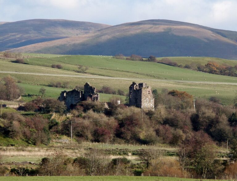
Tibbers Castle is a ruined medieval castle on the west bank of the River Nith in Scotland, United Kingdom. It may have begun as a timber castle in the 12th or 13th century. By 1298, a stone castle had replaced the earlier structure. At that time, Sir Richard Siward, Sheriff of Dumfries, may have built its stone enclosure or enlarged one already added to the castle. A sheriff was a county official with administrative responsibilities. The area was then under English control, and King Edward I visited Tibbers in 1298. In 1302, £100 was spent on the castle, which held a garrison of 23 men.
War and Scottish control
After Alexander III of Scotland died in 1286, a succession crisis brought Scotland under English rule led by Edward I. Robert the Bruce, whose family claimed the Scottish throne, was crowned king in 1306 and took up arms against England. The ensuing Wars of Scottish Independence were conflicts over Scotland’s rule and independence. During the first phase of Bruce’s campaign that year, Scottish forces captured Tibbers and other castles held by the English. Bruce entrusted Tibbers to John de Seton, but English forces retook it, hanged its defenders, and placed 54 men in the garrison. The Scots regained control of the region in 1313, after which Tibbers remained in Scottish hands.
Lordship and the castle’s changing role
After 1313, the castle passed through the hands of Thomas Randolph, 1st Earl of Moray, his son Thomas, 2nd Earl, and John Randolph, 3rd Earl. John died at the Battle of Neville’s Cross in 1346, after which Tibbers passed to Patrick V, Earl of March. Patrick’s son inherited the property in 1369 and acquired the Barony of Morton, a territorial lordship. Morton probably became the administrative centre of the Barony of Tibbers, replacing the castle in that role during the second half of the 14th century.
Tibbers and its estates remained with the Dunbar family until the Scottish Crown confiscated their lands in 1435. In 1450 or 1451, James II granted the castle to George Crichton, Lord High Admiral of Scotland and later Earl of Caithness. Crichton’s death in 1454 returned the property to royal control. A settlement beside the castle was recorded in 1451, but it did not prevent an attack in 1547 by troops led by Sir Alexander Stewart of Garlies.
Later use and historical study
The record name Mote de Tibbris appears in the late 15th century and again in 1541. An earlier explanation linked Tibbers’ name to Tiberius Caesar, the Roman emperor, but it is instead traced to the Gaelic word Toibar, meaning well. By the 18th century, the ridge was being cultivated and parts of the castle were being dismantled for building materials, including lime.
The site was once interpreted as a Roman military camp before being recognized as a medieval castle. Its earliest recorded excavation took place in 1864, followed by a survey in 1912. Further archaeological work came in 2013 and 2014, when the Royal Commission on the Ancient and Historical Monuments of Scotland, a public body responsible for recording historic sites, carried out measured and geophysical surveys. These included readings of electrical resistance in the ground and variations in the magnetic field. Tibbers has been a Scheduled Monument, a nationally important archaeological or historic site protected under Scottish heritage law, since 1937.
Remains
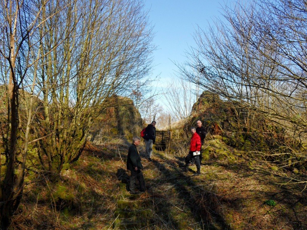
The castle occupied a ridge on the River Nith’s west bank, overlooking a ford. Carronbridge lies to the east and 16th-century Drumlanrig Castle to the northwest. At its greatest extent, Tibbers measured 330 by 85 metres. Its plan combined a raised mound, or motte, with enclosed courts, or baileys. The castle courtyard formed the inner bailey, while two further enclosures lay to the south.
Early enclosure and motte
The earliest phase consisted of a small enclosure, or bailey, where geophysical work in 2014 indicated timber buildings. In the probable remodelling around 1298, a motte and stone enclosure castle were added, and the first small enclosure was replaced by two larger courts to the south. The four-sided motte measures 44 by 27 metres at its summit. Rebuilding earthwork castles in stone was uncommon in Scotland.
Stone enclosure castle
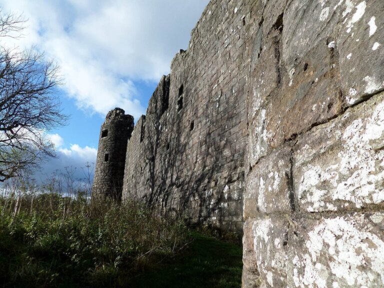
The roughly rectangular enclosure measures 26.8 by 11.6 metres and had a round tower at each corner. Its south-south-east corner tower is the best-preserved. A second tower on the south side stood with it to flank the entrance. A well was positioned inside the enclosure on the east, while buildings along the west and north sides probably included a great hall, kitchens, and a chamber. A postern, meaning a smaller secondary gate, lay just south of the north-east tower. This stone phase is one of the few authentic surviving examples of English castle building in Scotland during English rule.
Outer courts and earthworks
The two outer baileys each covered about 0.4 hectares. Their enclosing ramparts remain up to 0.5 metres high and measure between 3.4 and 5.5 metres across. The southern courts may have included a market, as at Lochmaben Castle. Together, the earthworks and stone enclosure preserve the castle’s arrangement of an inner court and two outer courts.
Excavated objects
Excavation recovered two coins from the reign of Edward II, who ruled from 1307 to 1327, and a dagger dating to the early 15th century. These finds represent objects from different periods of the castle’s history.