Nakbe: An Ancient Maya City in Guatemala
Site at a Glance
- Popularity
- High
- Country
- Guatemala
- Primary era
- Classical
- Eras represented
- Iron Age, Classical, Medieval
- Civilizations
- Maya
- Site type
- City
On this page22 sections
History
Nakbe is an ancient Maya settlement near La Gloria, Guatemala, where a community had formed by about 1400 BC, near the beginning of the Preclassic, an early era of Maya history before the Classic period. Maya communities had occupied the surrounding area from around the middle of the second millennium BC. The settlement’s population around 1400 BC is estimated at roughly 500 to 1,000 people.
Early settlement and regional authority
By about 600 BC, Nakbe had developed a two-level communal organization approaching a proto-state, an early form of centralized government. The settlement gained prominence during the Middle Preclassic and flourished in the third and second centuries BC as its governing institutions grew. Its rulers’ authority extended across northern Petén, including the Mirador Basin. At its height, Nakbe may also have controlled east-west trade routes along the base of the Yucatán Peninsula.
Imported goods point to connections beyond the basin. Jade and obsidian reached Nakbe, with much of the obsidian linked to Guatemala’s Central Highlands and the ancient center of Kaminaljuyú. These materials may have contributed to increasing social complexity and the development of administrative and governmental organization.
Political change and decline
Nakbe’s influence diminished from the late second century BC as neighboring Maya city-states gained power. By the middle of the first century BC, Nakbe had accepted the authority of El Mirador, which had previously been its subordinate. A raised road connected the two centers and helped maintain their relationship. Nakbe later lost regional supremacy first to El Mirador and then to Tikal. Some researchers also associate Nakbe with the emergence of the Kanul and Mutul royal dynasties, though that connection remains uncertain.
The settlement began to contract during the Late Preclassic. Monument building slowed, and much of the population had left by around the first centuries CE, although Nakbe was not entirely abandoned then. The reasons for this decline are uncertain. Competition from nearby centers, including Yax Mutal, Uaxactun, and Dzibanche, may have contributed. Nakbe and El Mirador declined at roughly the same time.
Later occupation and investigation
Small communities returned to Nakbe during the Late Classic period. They produced fine ceramics, including examples in the Codex style, a distinctive Maya ceramic style, before the settlement was finally abandoned by the end of the ninth century CE.
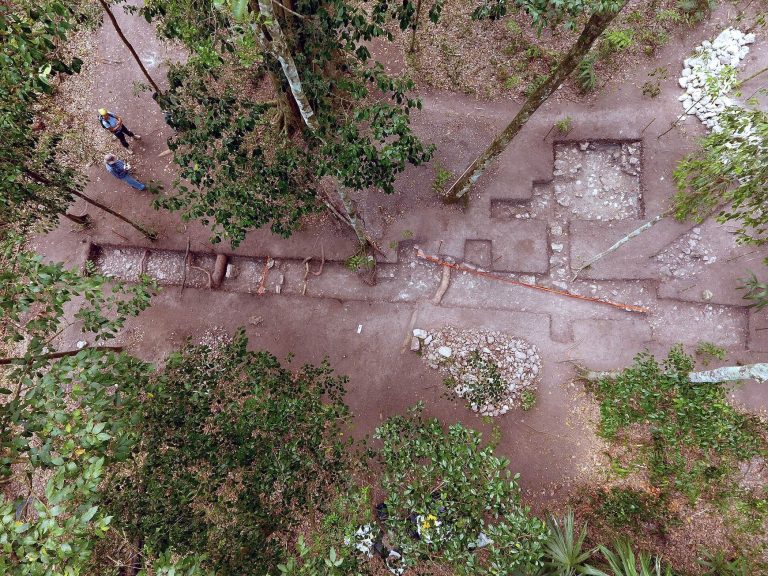
Aerial photographs brought Nakbe to wider attention in 1930, during a University of Pennsylvania reconnaissance of northern Petén. Archaeologist Ian Graham surveyed and mapped the site in 1962, giving it its modern name. Nakbe’s ancient name is unknown; the modern name comes from Yucatec, a Mayan language, and means “near the road.” Major excavations began in the 1980s, with work expanding in the 1990s through RAINPEG, a collaboration between UCLA’s Institute of Geophysics and Planetary Sciences and Guatemala’s Institute of Anthropology and History. The project was directed by Richard D. Hansen.
Remains
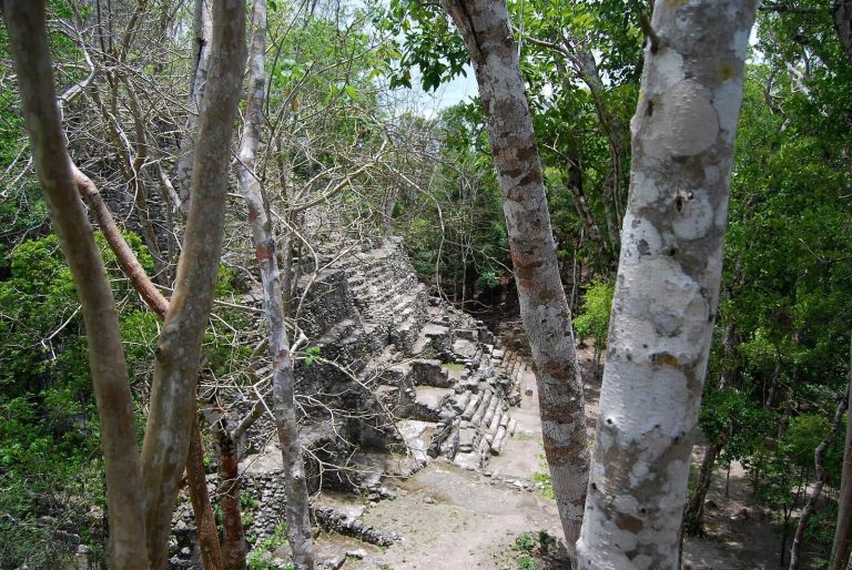
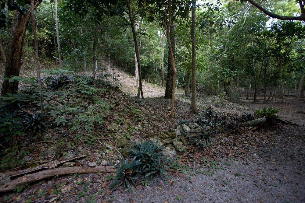
Nakbe occupies a limestone rise bordered by wetlands on three sides, about 13 km from El Mirador. Its central buildings follow an east-west arrangement, with residential districts around them. More than 150 structures of different sizes have been identified. The settlement covered about 50 hectares by the turn of the ninth to eighth centuries BC.
Urban layout and construction
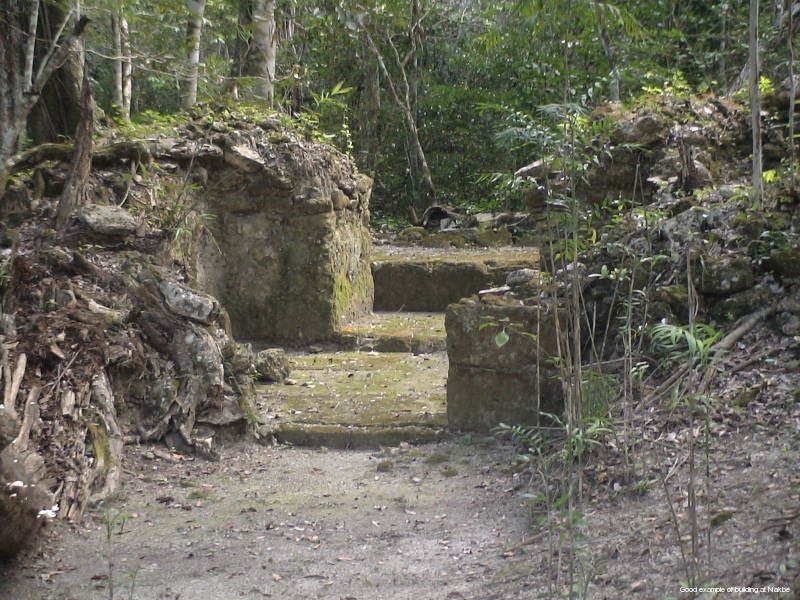
Early buildings made from perishable materials stood on platforms, some reaching 2 m high, around a central plaza. Stone platforms dating to about 800–600 BC rose roughly 2–3 m. Their roughly cut stone faces were coated with clay-lime plaster, and they probably supported buildings made from perishable materials. Platforms built around 600–400 BC reached heights of up to 18 m. Their stone was more carefully shaped and laid, then finished with stucco, a plaster-like coating.
East Group
The ceremonial plaza and E-group
In the East Group, earlier houses were buried beneath stone fill and covered with sascab, a limestone-rich earth used in building and lime production. Ceremonial buildings were later raised over them. A long platform stood above Structure 51, formerly the residence of a community leader. Structure 47 lay to its west, while Structures 49 and 53 stood to the north and south, enclosing a plaza. Together, the western pyramid and eastern platform form an early example of an E-group, a Maya arrangement associated with ritual and astronomical observation. In the fourth century BC, Structures 47, 51, and 49 stood 18 m, 14 m, and 8 m above platform level, respectively.
Complex 75 ballcourt
South of the E-group, Complex 75 served as a ballcourt. Built in the fifth or fourth century BC, it is identified as the earliest known ballcourt in Mesoamerica.
Altar 4
A stone altar was set up in front of Structure 51 around the sixth century BC. Known as Altar 4, it is considered the earliest example of monumental sculpture in the Maya lowlands.
Stela 1
Stela 1, an upright carved stone monument, stood in front of Structure 52. Dating to about 400 BC, it is identified as the earliest known stela in Petén. The monument measured about 3.4 m high and 1.8 m wide. It was broken into 45 pieces and later reassembled. It had been smashed in antiquity, possibly during an attack on Nakbe and El Mirador associated with Teotihuacan in the Late Preclassic.
The carving shows two men facing each other in nearly matching costumes, with elaborate crowns, skirts, and belts bearing deity masks and axe-shaped pendants. One man points upward toward a detached profile head beside the other figure’s headdress. One interpretation sees the scene as an early depiction of power passing between rulers. Another identifies the men as the Hero Twins Hun-Apu and Ixbalanque from the Popol Vuh, a K’iche’ Maya narrative. In that reading, Ixbalanque points to his father’s severed head as a sign of royal descent.
Structure 59
Structure 59 rose 31 m above a platform measuring 128 by 125 m, an area of about 16,000 square metres. Three small temples stood at its summit in a triangular arrangement, with one central building and two beside it.
West Group
The West Group was constructed on a massive platform that became the base for later buildings. Complexes 1 and 18 formed a major architectural ensemble, with only a narrow passage between them.
Complex 1 and Structure 1
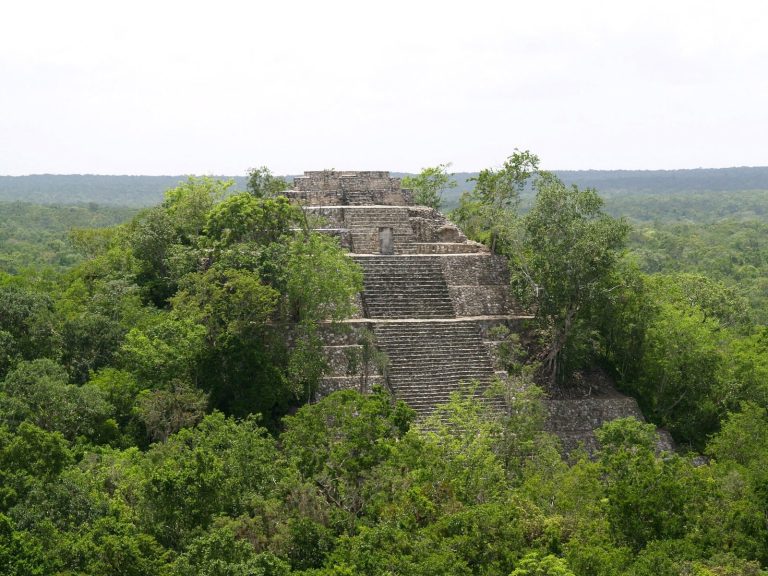
Complex 1 became Nakbe’s principal ceremonial center in the third and second centuries BC. Its large platform supported several buildings, including Structure 1, the site’s tallest pyramid at about 46 m. This flat-topped pyramid had a central temple at its summit and two smaller temples beside it. Three roofed buildings formed a group on its upper level. Large stucco masks flanked the main staircase, and one mask, measuring 11 by 5 m, survives on the north face. The mask, built around a stone core and coated in stucco, has been interpreted as the Supreme Bird Deity, traditionally identified with Vucub-Caquix, a bird-like supernatural being.
A courtyard in front of Structure 1 was bordered by six temples whose stairways bore stucco masks. Structures 13 and 27 also had three-part temple groups at their summits. The central plaza lay north of Complex 18; on its northern edge, Pyramid 27 rose 24 m and supported a small, single-room temple. Two sculpted masks decorated the staircase to its upper level.
Complex 18
Complex 18 served as an elite residence and administrative center. Its original clay platform measured 100 by 75 m and had stone retaining walls. Enlargements brought it to 6 m high by the fourth to third centuries BC. Four stepped terraces and plastered stairs led to an upper court surrounded by six long, low palace-style buildings, Structures 14–19. On the south side, Structures 18 and 19 were joined to form a single building ensemble.
Late Classic occupation
The Codex Group lies northwest of the West Group, beside the road toward El Mirador. It was occupied and expanded during the Late Classic, when no large new monuments were built there.
Roads and causeways
Raised roads linked important parts of Nakbe and later connected it with other centers. A causeway 500 m long, 24 m wide, and at least 4 m high joined the East and West groups. The Kan Causeway rose as much as 4 m above the surrounding ground in places. These routes had surfaces of crushed white stone. One connected Nakbe with El Mirador, and a later road linked the city with Calakmul during the Late Classic period.
Agriculture and water management
Agricultural terraces bordered the central area. One was associated with Complex 18 and another with Structure 31; their fertile soil had been brought from nearby wetlands. Sloped surfaces on large plaza and pyramid complexes directed rainwater toward reservoirs, which could supply the population during the dry season.
Limestone quarries
An extensive quarry system supplied limestone for major temples. Excavations recovered 23 chert tools, including double-sided picks and axes, hammerstones, and cores from which flakes had been struck. Wear on the tools and cut marks in quarry walls indicate that long-handled picks were used to extract limestone, while stone axes shaped the blocks.
Small finds
Ceramics and figures
Excavated small sculptures include clay figures of people and animals, as well as similar pieces made from shells. Middle Preclassic pottery includes red designs on cream-colored vessels, other multicolored wares, incised bowls, and vessels in plain red, cream, or black. Narrow-necked jars carry broad, roughly painted bands. Many jars with narrow openings but no necks were also recovered.
Shells and bodily adornment
Perforated marine shells, especially conchs of the genus Strombus, were common finds. Such shells are associated with deposits from the first part of the Middle Preclassic at Nakbe and other Maya sites. Human incisors from deposits about 2,800 years old contain inlaid disks of jade-like stone, showing elite dental adornment. A ceramic fragment carved with a profile and sloping forehead provides evidence of cranial deformation, the intentional shaping of an infant’s skull by binding.