Gumbeliai Hillfort: A Fortified Archaeological Site in Lithuania
Site at a Glance
- Popularity
- Very Low
- Country
- Lithuania
- Primary era
- Medieval
- Eras represented
- Classical, Medieval
- Civilizations
- Unclassified
- Site type
- Military
- Remains
- Fort
History
Gumbeliai hillfort, an elevated fortified archaeological site, lies in Gumbeliai village in northwestern Lazdijai District, Lithuania, on the boundary with Maišymai village. It dates from the first millennium to the beginning of the second millennium AD. Because of its position at the village boundary, archaeological literature often calls it Maišymai Hillfort.
The Institute of History, a historical-research institution, surveyed the site in 1954 and 1965. Lithuanian archaeologists Pranas Kulikauskas and Adolfas Tautavičius led those expeditions. In 1989, the Scientific and Methodological Council for the Protection of Cultural Monuments, a cultural-heritage protection body, surveyed the hillfort under the direction of archaeologist Eugenijus Ivanauskas. Ivanauskas excavated 14 square metres at the hillfort and its foot in 2001.
The site was included among ancient monuments in 1935, designated a republic-level archaeological monument in 1972, and entered Lithuania’s Register of Immovable Cultural Properties in 1992.
Remains
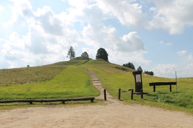
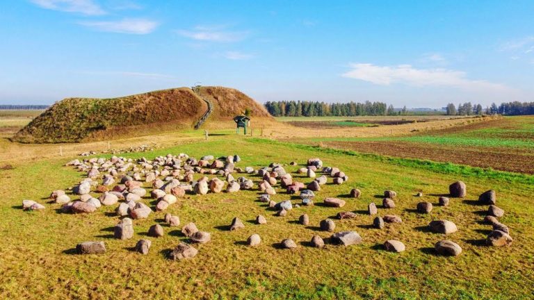
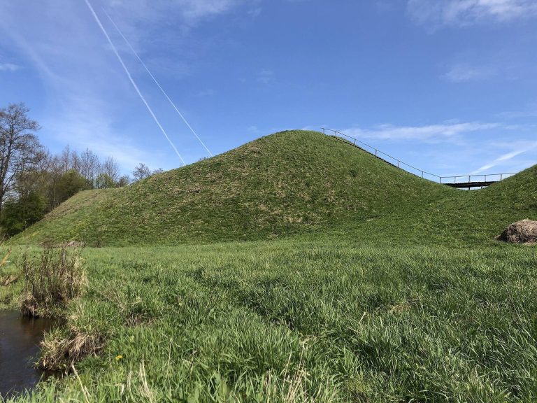
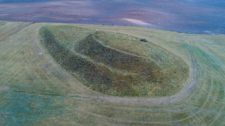
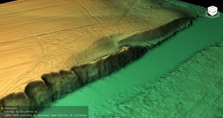
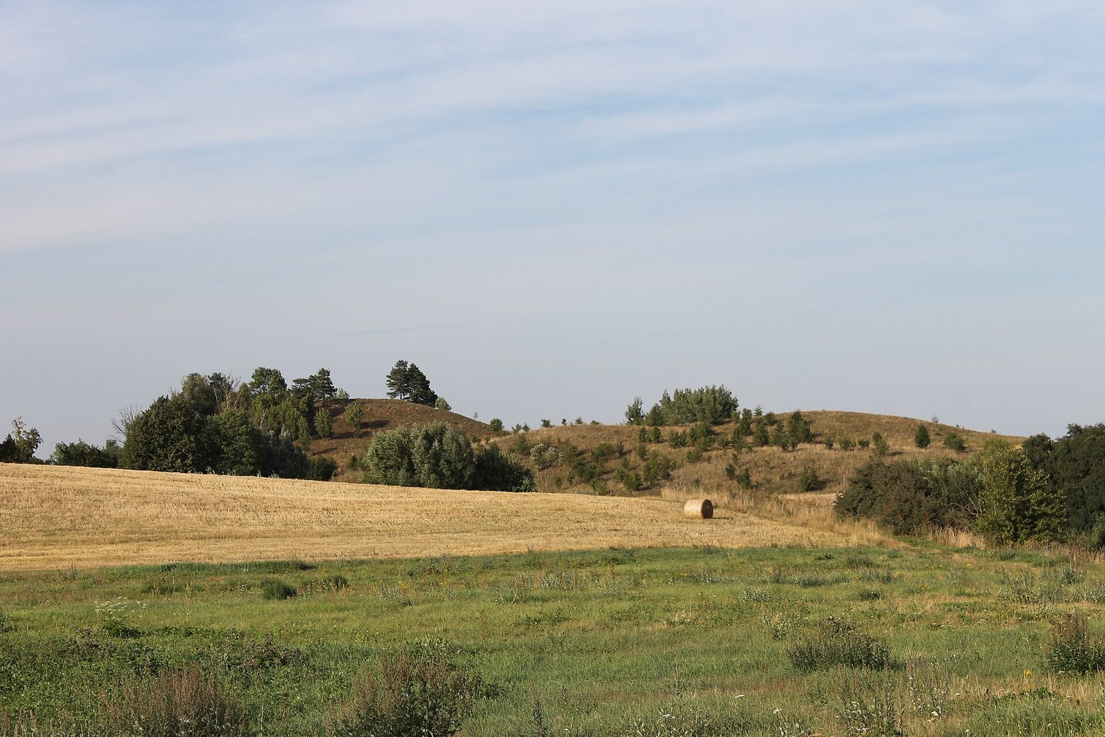
The hillfort occupies the southern edge of an isolated hill on the right bank of the Krokšliaravis, a left tributary of the Kirsna. The hill extends about 350 metres from north to south and is 145 to 180 metres wide, with a roughly truncated-cone shape. Its western slope exceeds 20 metres in height, while the other slopes rise 7 to 9 metres. The northern slope is the lowest and gentlest; the upper parts of the slopes have been leveled and are steeper. The site covers 4.99 hectares.
An oval summit platform, elongated northeast to southwest, measures 18 by 11 metres. An earthen embankment, 0.6 metres high and 7 metres wide, encloses it, with the southern edge slightly lower. A terrace 4 metres wide follows the southern and eastern sides, lying 1.5 metres below the embankment. Plowing has damaged the hillfort, whose area is now uncultivated. Scattered pines grow on the western and eastern slopes.