Meškučiai 1st Hillfort: A Fortified Settlement in Lithuania
Site at a Glance
- Rating
- 4.5
- Popularity
- Very Low
- Country
- Lithuania
- Primary era
- Iron Age
- External website
- Open
- Eras represented
- Iron Age, Classical, Medieval
- Civilizations
- Unclassified
- Site type
- Military
- Remains
- Fortified Town
On this page8 sections
History
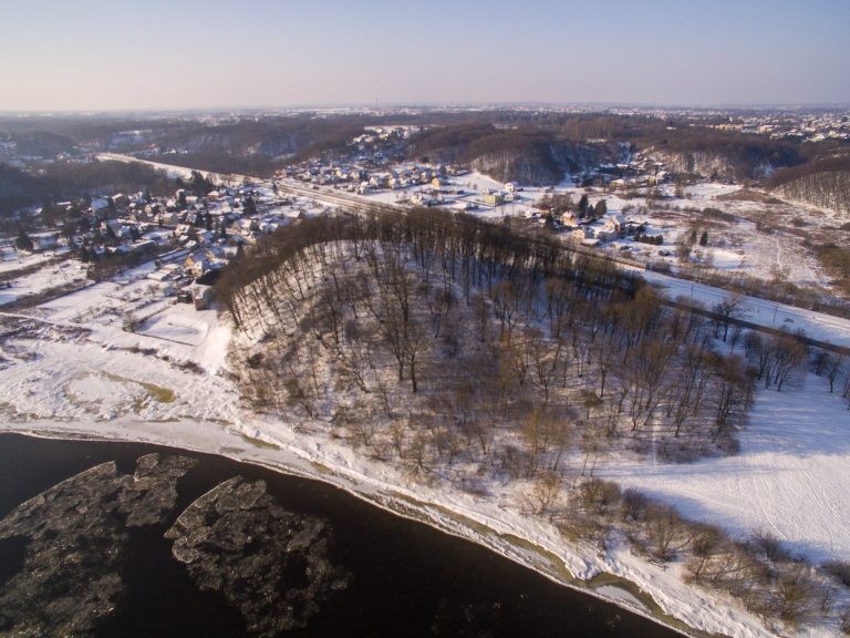
Meškučiai 1st hillfort is an archaeological complex in Marijampolė, Lithuania, dating from the 1st millennium BC to the 13th century. It stands on the left bank of the Šešupė and consists of a fortified elevation and an adjoining foothill settlement. The complex covers approximately 6.5 hectares and preserves evidence of long-term habitation, craft activity, and cremation burial.
Early occupation and settlement
The hillfort and settlement developed beside the Šešupė, with inhabited areas extending around the elevated stronghold. The eastern part of the settlement included terraces on the highland slope, while other areas occupied the highland itself. Archaeological layers from the 1st millennium BC and the first half of the 1st millennium CE contain traces of post-built structures, hearths, stone concentrations, flint working, personal ornaments, and large quantities of handmade pottery.
The settlement continued in use into the medieval period. A cultural layer north of the hillfort dates from the middle of the 1st millennium to the 13th century, while later disturbed deposits contain material from the 17th century through the beginning of the 20th century. These later finds include lead spherical bullets, a 17th-century grosz issued under John II Casimir, who was king of Poland and grand duke of Lithuania from 1648 to 1668, and wheel-made and glazed pottery.
Destruction and archaeological investigation
Before the 19th century, the Šešupė washed away much of the hillfort, leaving its original shape and dimensions uncertain. Pits damaged the surviving remains during the 20th century, although erosion later slowed. The complex was surveyed in 1956, 1965, and 2006, while excavations and investigations took place at the hillfort in 1968 and 1994 and in the foothill settlement from 2007 to 2010.
The site was declared an archaeological monument of republican significance in 1972 and is now protected as a registered cultural-heritage object. Between 1955 and 1988, archaeological literature referred to it as Kapsukas hillfort. In 2007, a water-supply line was laid through the ancient settlement beside an existing field track. Another hillfort, known as Marcinkalnis, lies approximately 110 metres southwest, on the opposite side of an unnamed stream in the lands of Pabaigai village.
Remains
Hillfort remains
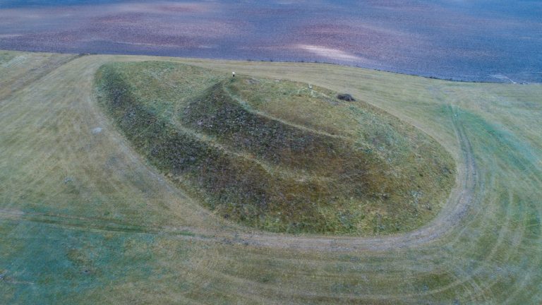
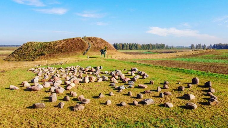
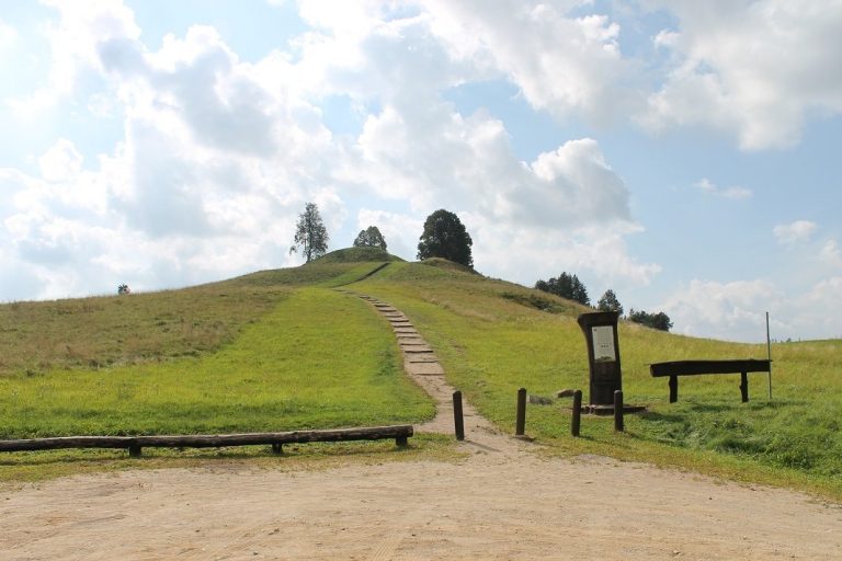
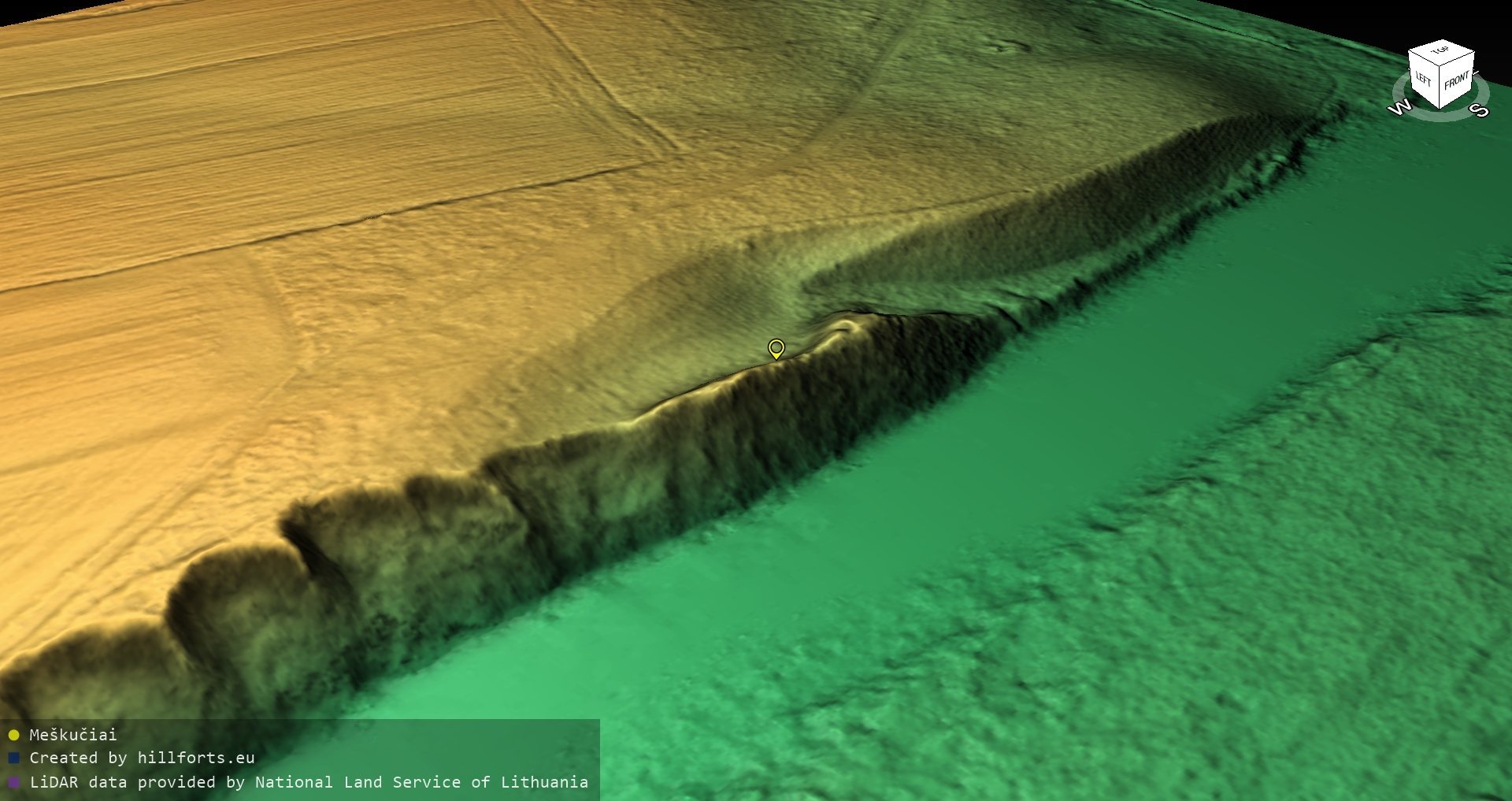
The surviving hillfort occupies a promontory at the meeting point of the Šešupė and a stream that has since disappeared. Its northern base extends about 85 metres from east to west, measuring up to 16 metres wide at the eastern end and up to 7 metres at the western end. Steep northern and northeastern slopes rise to 12 metres, with their upper 6 to 8 metres forming the steepest section. The summit platform is approximately 20 metres long and follows an almost west-to-east line.
A bank at least 1 metre high and 3 metres wide protected the western edge of the platform. Outside it lay a ditch about 4 metres wide and 1 metre deep. On the eastern side, a ditch approximately 10 metres wide and up to 3 metres deep separated the summit from the forecourt. The forecourt was about 15 metres long and similarly aligned, although only a triangular fragment, measuring roughly 12 by 7 metres, survives. Its slopes are moderately steep and reach 10 metres in height.
Excavations within the hillfort examined 48.75 square metres. The cultural layer, an archaeological deposit formed by successive human activities, measured between 45 and 150 centimetres thick. It contained stone pavements, animal bones, a bone awl, part of a stone axe with a haft hole, a flint flake, and slightly brushed, rough, smooth, and wheel-made pottery.
Foothill settlement
The settlement extends northwest, north, and east of the hillfort across approximately 5.8 hectares. A valley borders its eastern side, while damp depressions define the northeastern, northwestern, and western sides. The settlement connects with the rest of the highland to the north and is now a fallow field. A northeast-to-southwest field track crosses the complex from Karklai Street toward Pabaigai. In the western part, opposite the hillfort, the concrete base of an interpretive sign remains. A planted row of trees encloses about 0.17 hectares immediately north of the hillfort, and a large reddish granite boulder with a level broken surface lies on a high point in the settlement’s northeastern area.
Eastern terraces and occupation layers
Investigations from 2007 to 2010 examined approximately 1,210 square metres in the eastern settlement. On the first floodplain terrace beside the river, two layers dating from the 1st millennium BC to the first half of the 1st millennium CE were identified. A floodplain terrace is a relatively level step of land beside a river, raised above the active floodplain. The upper layer was 20 to 60 centimetres thick and the lower layer 10 to 40 centimetres thick. Their postholes, which are surviving soil marks left by former structural posts, indicate above-ground buildings made with posts set into the ground. Hearths, stone concentrations, flint flakes, blades, a bronze bracelet, a fired-clay spindle whorl, an enamel bead, and abundant handmade pottery were also recovered.
In the northeastern part of the settlement, on the second floodplain terrace and the eastern highland slope, a cultural layer up to 70 centimetres thick dates to the 1st millennium BC. It contains postholes, hearths, flint flakes, and numerous sherds of handmade smooth and rough pottery. Investigations north of the hillfort found another cultural layer, reaching 1.4 metres in thickness, with an iron awl, a stone whetstone, and rough and smooth pottery.
Cremation area
The northeastern settlement area also preserves many fragments of cremated human bone. The cremation place stood on the highland summit and consisted of an oval hearth approximately 4 by 2 metres in size. Its position and contents provide evidence for funerary activity within the wider settlement landscape.