Rudaminos Hillfort: A Yotvingian Defensive Stronghold in Lithuania
Site at a Glance
- Rating
- 4.8
- Popularity
- Low
- Country
- Lithuania
- Primary era
- Medieval
- Eras represented
- Classical, Medieval
- Civilizations
- Unclassified
- Site type
- Military
- Remains
- Fort
On this page11 sections
History
Rudaminos Hillfort is a Yotvingian defensive stronghold in Lithuania, used from the fifth to the fourteenth century. The Yotvingians were a western Baltic people who lived across parts of present-day southern Lithuania, northeastern Poland, and western Belarus during the medieval period. The hillfort, one of the most prominent monuments associated with the Yotvingians of Užnemunė, was built and strengthened through four successive defensive phases.
Four phases of fortification
The earliest settlement was protected by a wooden fence following the edge of the hill. After this enclosure burned, people formed an earthen bank about 1 metre high from clay. Stones reinforced its top, while a wooden palisade, a barrier of upright stakes or logs, strengthened the defence.
When this barrier also burned, the bank was raised to about 2 metres and topped with a defensive wall. The wall was later destroyed by fire. A further metre of damp sand was then added, with rammed clay reinforcing the upper surface and stones strengthening the slopes. Wooden fortifications were erected above this rebuilt earthwork.
Arrowheads discovered outside the rampart indicate that one of the fortifications burned during a major assault. Their position suggests that attackers used bows against the stronghold before the defences were destroyed.
Traditions of the castle
Local historian and researcher Juozapas Radziukynas proposed that Duke Ringaudas’s castle stood on the hillfort and dated its construction to 1240. Ringaudas belongs to Lithuanian legendary tradition and was presented as a duke associated with the alleged castle at Rudamina. The same tradition states that Mindaugas was crowned king there. Mindaugas was Lithuania’s first and only crowned king and ruled in the thirteenth century.
According to this tradition, the Teutonic Order destroyed the castle in 1381 during an assault that used bombards, large early gunpowder weapons for firing heavy projectiles in sieges. These associations remain historical traditions and attributions rather than securely established facts.
Later history and investigation
After the hillfort was abandoned, its territory became part of the Rudamina estate. During Lithuania’s land reform, it was transferred to the Ministry of Education in 1926, which assigned responsibility for its care to the head of Rudamina primary school through the inspector of primary schools for Seinai County. In 1932, Rudamina’s Catholic youth organization planted linden trees and laid paths on the hillfort.
After the Soviet occupation of the region, Red Army personnel dug two large pits at the southern and southwestern edges in 1941 for bunker construction. The hillfort and its associated settlement were placed on the list of archaeological monuments of republican significance in 1972. The archaeological complex entered the Cultural Property Register in 1992 and 1997, became a cultural monument in 1998, received state-protected status in 2005, and was included among immovable cultural heritage objects of exceptional cultural value in 2007.
Radziukynas described the hillfort in 1909. German army officers examined the edges of the hilltop in 1918 and found artefacts. Pranas Kulikauskas surveyed the site in 1954, while Vytautas Daugudis identified the cultural layer of the associated settlement in 1962. Kulikauskas and Regina Kulikauskienė investigated 320 square metres in 1965 and made a cross-section through the northern rampart. The finds are held by the National Museum of Lithuania.
Remains
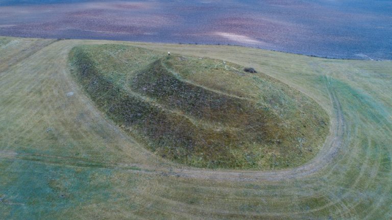
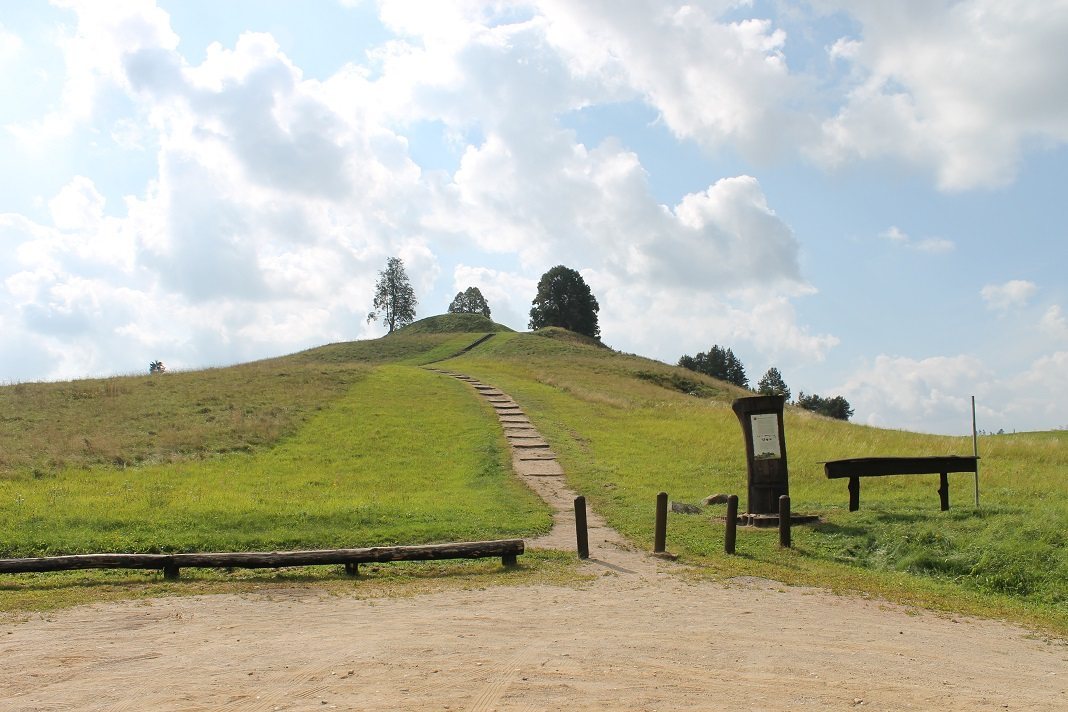
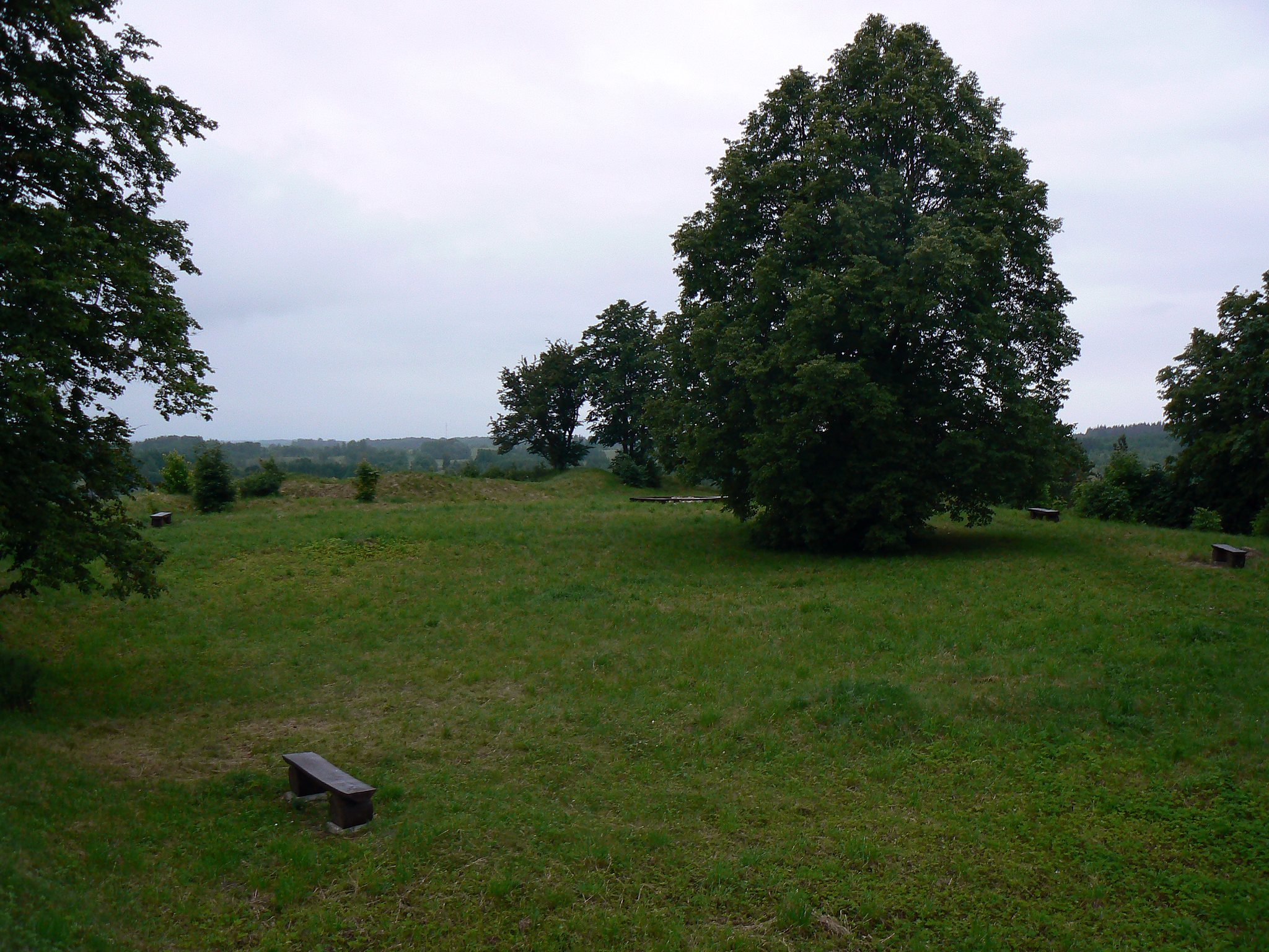
Rudaminos Hillfort occupies the summit of a distinct postglacial hill about 198 metres above sea level. The hill is approximately 83 metres long and 60 metres wide. Its oval summit platform extends from north to south and measures 75 by 51 metres. The western and northern edges are lower and descend onto the hill slope. The total territory of the hillfort and associated areas covers 22.83 hectares.
Hilltop fortifications
Rampart and entrance
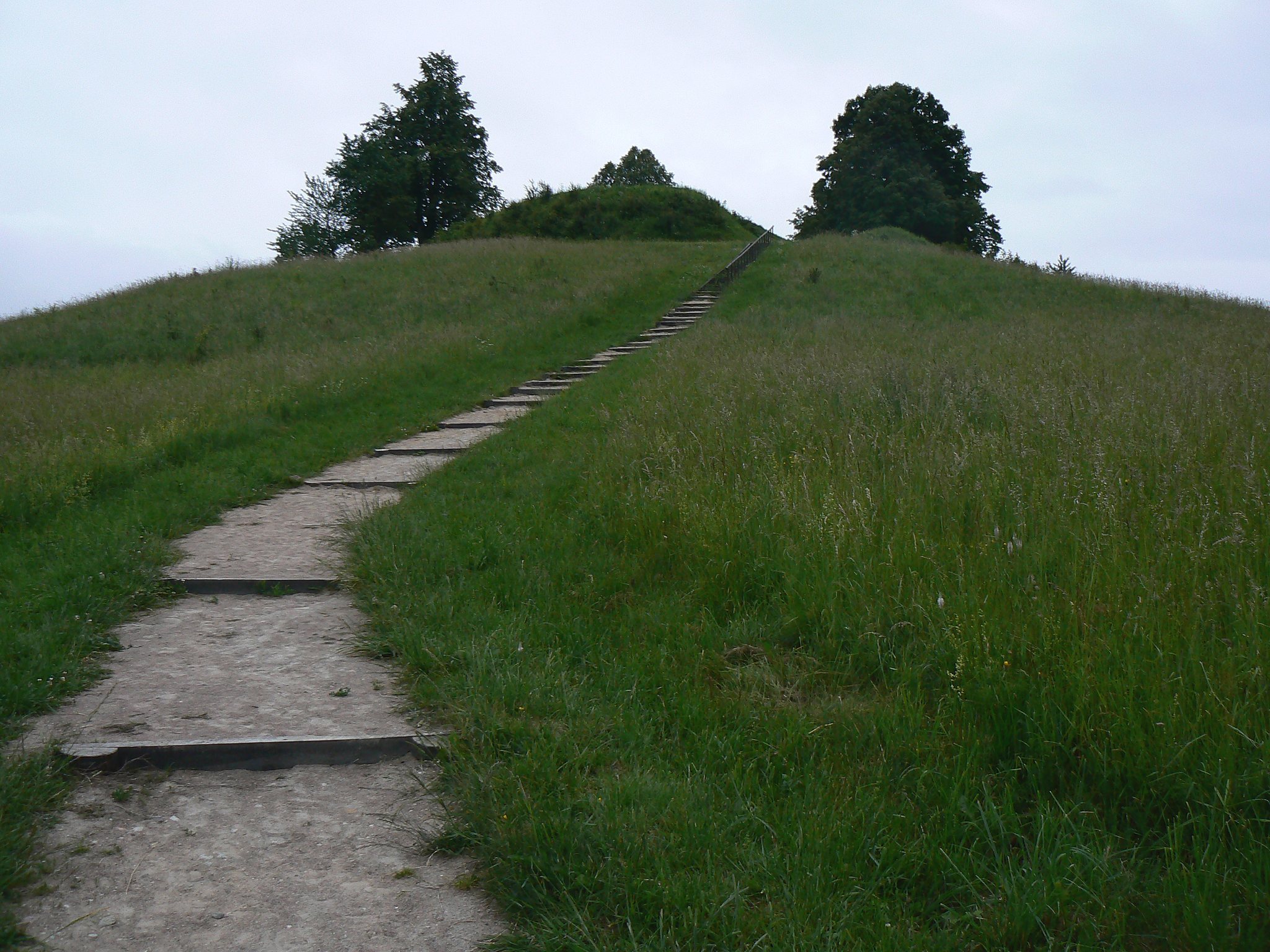
A defensive rampart surrounds the platform on all sides. It is 2 to 3 metres high and 10 to 16 metres wide, while its outer slopes descend steeply for 5 to 8 metres before joining the naturally gentler sides of the hill. Together, the slopes reach a height of about 25 metres. At the northern end, the rampart was cut through to form an entrance.
Platform and possible ritual stone
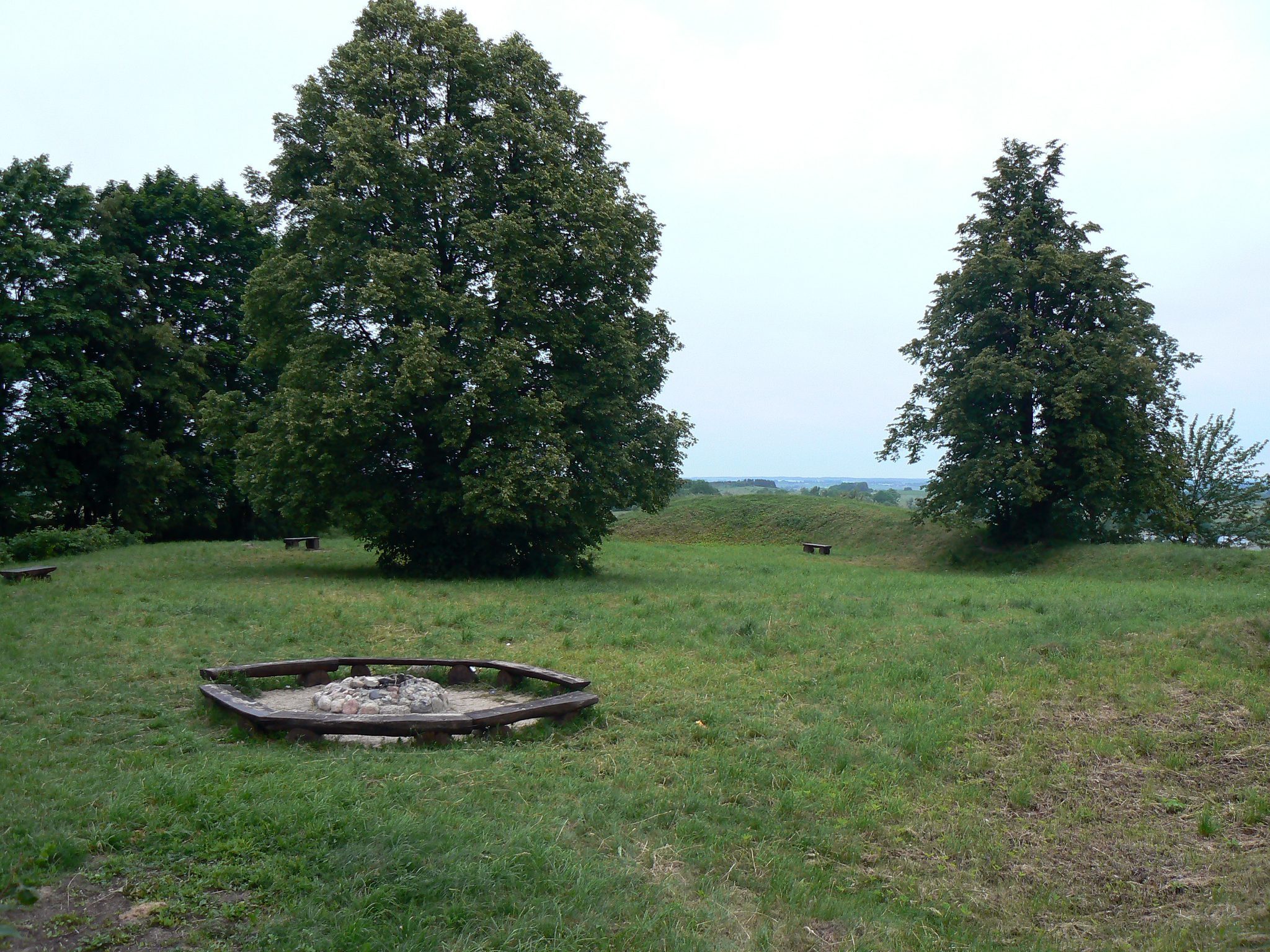
A massive, coarse-grained reddish granite boulder stands in the southwestern part of the platform. Another large boulder at the southwestern edge is identified as a possible ritual stone. The hillfort is covered by grassland, and linden trees grow along the rampart. Two large pits excavated in 1941 remain at the southern and southwestern edges of the fortification.
Settlement and archaeological deposits
Associated settlement
A former settlement occupied about 4 hectares at the southern and northern foot of the hill. Its cultural layer, an archaeological deposit formed through successive human occupation, measures between 0.4 and 2 metres thick. The deposits contain hearth remains, animal bones, charred grains, and pottery made by hand with smooth or rough surfaces, together with wheel-thrown pottery.
Artefacts
Excavations produced socketed and tanged iron arrowheads, a bronze brooch, spiral rings, a pendant, a belt buckle, and a glass bead. These finds occur alongside the hearths, food remains, and pottery of the settlement and help identify the activities carried out around the fortified hilltop.