Hunebed G1: A Neolithic Passage Tomb in the Netherlands
Site at a Glance
- Popularity
- Medium
- Country
- Netherlands
- Primary era
- Stone Age
- Eras represented
- Stone Age
- Civilizations
- Unclassified
- Site type
- Burial
- Remains
- Tomb
On this page9 sections
History
Hunebed G1 is a Neolithic passage tomb in a small wood southwest of Noordlaren, in the Netherlands. Built by people of the western group of the Funnel Beaker culture, its construction is generally dated to about 3450–3250 BCE. It is the northernmost Dutch megalithic tomb still in its original position and the only one in Groningen province to remain there.
Neolithic construction and later use
The Funnel Beaker culture was a Neolithic farming society named for its distinctive pottery. G1’s earliest dating evidence is pottery from around 3300 BCE. Radiocarbon dating could not be applied directly to the pottery because carbon-bearing material deteriorates in the local acidic sandy soil. Instead, its forms were compared with similar pottery dated by radiocarbon at other sites.
People returned to the tomb in later periods. Around 2600 BCE, pottery of the Single Grave culture, a later Neolithic culture named for its burial tradition, was deposited there, perhaps in connection with burial or ritual activity. Material associated with the late Bell Beaker culture, named for its distinctive bell-shaped pottery, dates to around 2450 BCE.
Stone removal and early accounts
Medieval and early modern pottery fragments have been linked to the removal of some of the tomb’s stones, probably for reuse. Dismantling may have begun in the twelfth century, with further removal perhaps in the fifteenth or sixteenth century and again in the eighteenth. The monument may have reached roughly its present size around 1500. Reuse of its stones in the foundations of Noordlaren’s twelfth-century church is considered unlikely, although archaeologist Jan Albert Bakker tentatively suggested that some stones might have been used there.
The earliest known written mention dates to 1694, when writer Michiel van Bolhuis described seeing large boulders at the site. Naturalist and artist Petrus Camper drew the tomb in 1768. A 1784 measurement of its largest capstone was probably made by minister Gerardus Kuypers. In 1794, engraver Hendrik Schwegman produced an idealized image based on an original by Egbert van Drielst, but its caption incorrectly placed the tomb at Midlaren.
A story of an earlier excavation was relayed by writer Jetzo Boeles in 1845. He reported that his father, then a minister at Noordlaren, had heard the tale from an elderly resident in 1825. The resident recalled a dig in his youth, estimated to have taken place around 1750, which supposedly uncovered two stone floors, urns containing ash and bones, and a finely worked black stone hammer. The objects were later lost.
Protection and archaeological study
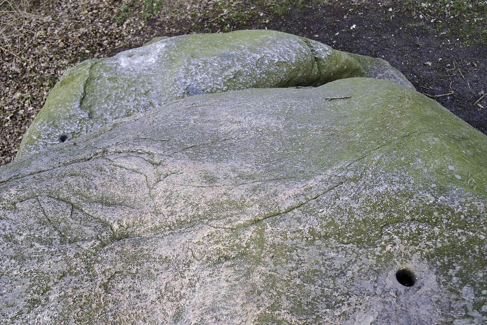
Around 1800, local men Hindrik Aarents and Conraadt Teunis drilled two holes in the capstones, apparently intending to blast the stones for sale. A man called De Drews stopped them; he may have been estate owner Rudolf de Drews or his son Johan. An order issued in 1801 instructed the men to leave the tomb intact because of its historical value.
Leiden curator Leonhardt Janssen visited in 1847 and published descriptions and plans of Dutch megalithic tombs the following year. The first photograph of G1 was taken in 1874 by Jan Goedeljee while he travelled with antiquities scholar Willem Pleyte, who later made lithographs from photographs taken on the journey. In 1877, museum director Conrad Leemans visited the area and had plans drawn, though his report was not published.
Following a provincial debate about the upkeep of megalithic tombs, the state probably purchased G1 and a narrow strip around it in 1870. Sand extraction beside the monument, visible in a 1905 photograph, may have prompted a further purchase in 1906. Archaeologist Albert Egges van Giffen surveyed the tomb in 1918, published a description in 1925, and assigned it the identifier G1. In 1957, Van Giffen and Bakker led a full excavation. The work was not carefully controlled: schoolchildren searched the spoil heaps and recovered pottery fragments from about 150 vessels.
Expansion and modern records
The protected area grew from 40 square metres to 1,260 square metres in 1906, then to 3,435 square metres in 1956. Further purchases in 1964 and 1967, followed by rural land reorganization in 1973–74, brought the reserve to its present area of 7,975 square metres. G1 received designation as an archaeological national monument in the early 1990s. In 2017, it was included in a photogrammetric atlas, a collection of three-dimensional models made from photographs, of surviving Dutch megalithic tombs.
Remains
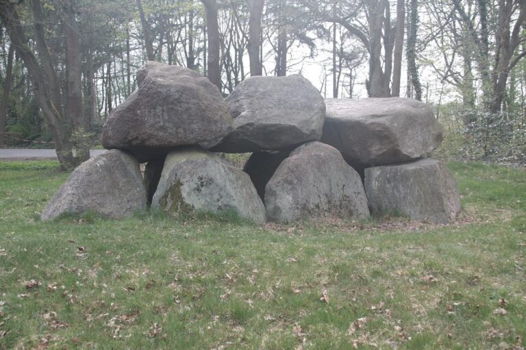
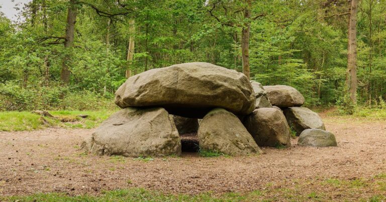
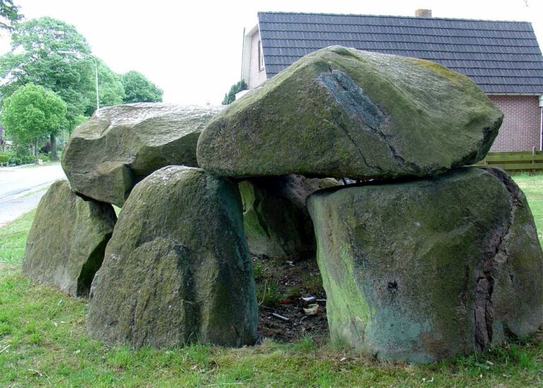
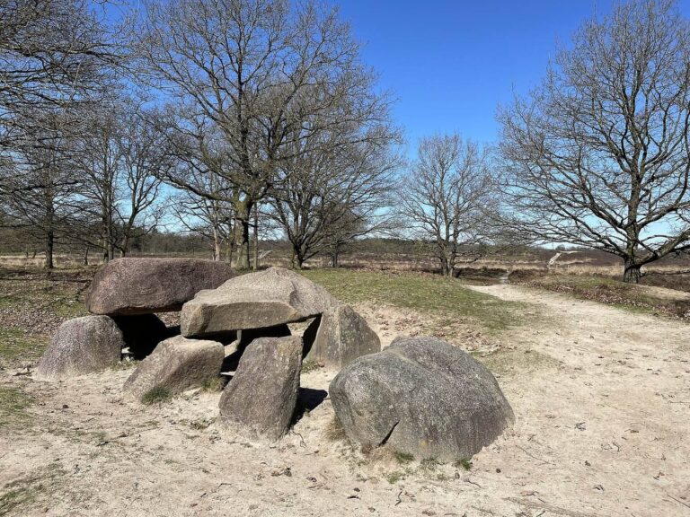
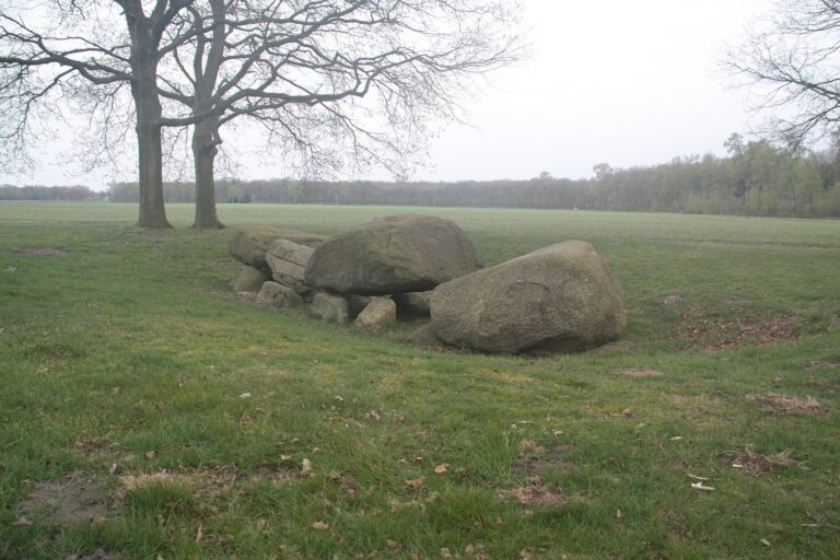
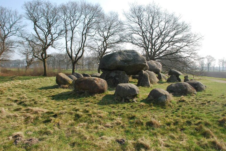
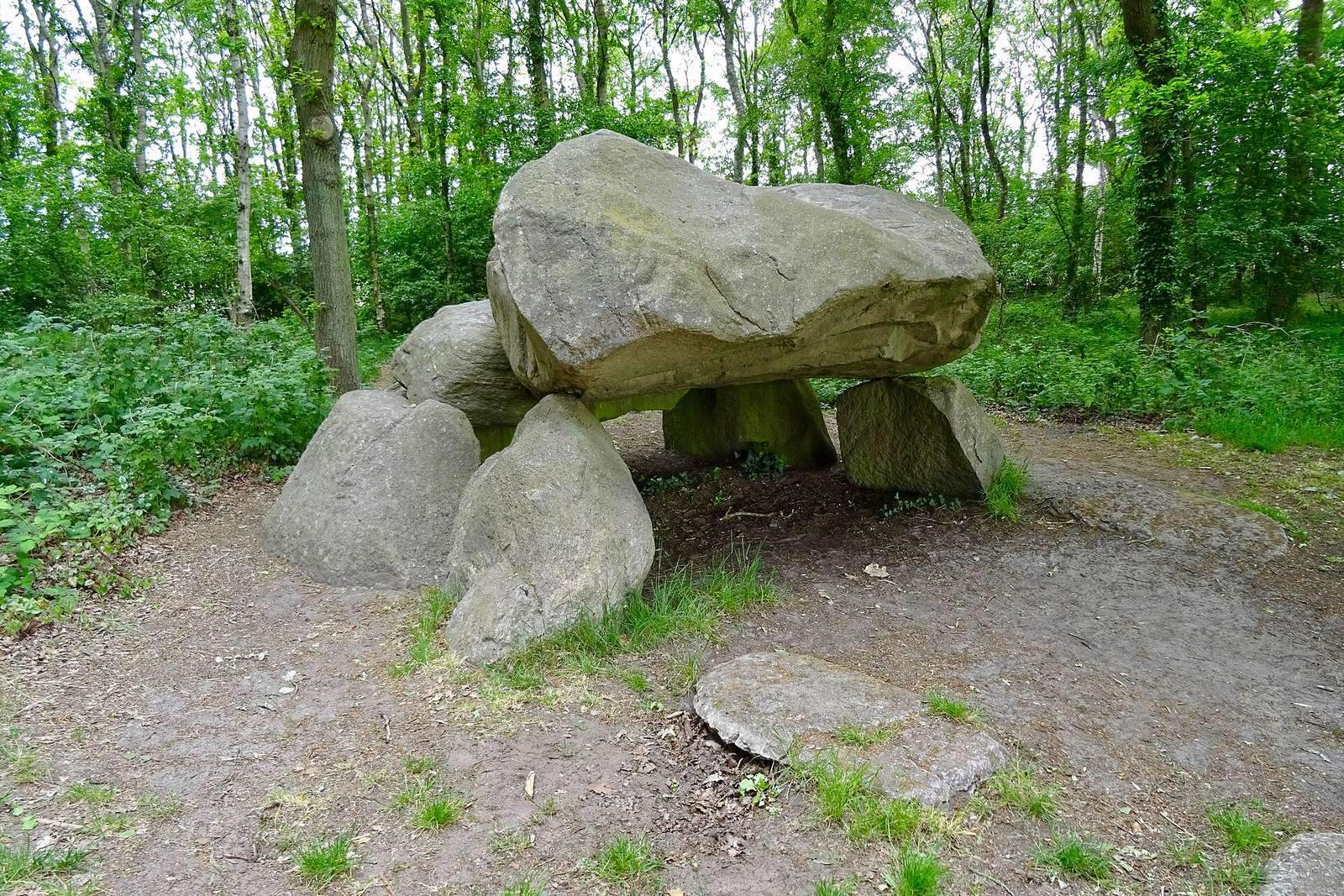
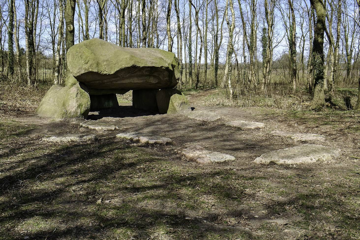
G1 stands on a rise of cover sand, windblown sand laid over older ground, and was originally covered by an earthen mound. Its stone chamber and passage formed a megalithic burial structure, with upright stones supporting large roof stones.
Chamber and passage
The chamber runs east-southeast to west-northwest and measures 7.6 metres long. Its surviving northwestern part consists of a western end stone, two adjoining pairs of side stones, and two capstones. The original chamber had five pairs of side stones, an end stone at each short end, and five capstones; about 40 percent of its original length remains. The largest surviving capstone, known as D2 in numbering from west to east, weighs about 17,000 kilograms. The former capstone beside it, D3, was probably also exceptionally large.
People entered the chamber through a passage on its southern long side, between the third and fourth stones from the west. The passage originally had two pairs of side stones and probably a capstone, though its facing direction is uncertain.
Construction evidence and setting
Stone slabs paved the chamber floor. Six postholes in its eastern half, between the sockets for the wall stones, probably held posts used in construction. Excavation also identified pits left where stones had been removed. After the 1957 investigation, these pits were filled with cement, granite grit, and pebbles to mark their positions; only one pair of passage-side stones was marked in this way.
The builders probably obtained the tomb’s glacial erratic boulders, rocks carried from their original geological setting by glaciers, from a dead-ice hollow about 30 metres to the southwest. Such a hollow forms when a detached mass of glacial ice melts. The hollow is now called Steenbergsveentje. Pollen analysis, which uses preserved pollen to infer earlier vegetation and land use, indicates that a small field existed on the rise before the tomb was built. G1 was also formerly called Stainbarg or Steenbarg, meaning “stone hill.”
The tomb stands in a small wood southwest of Noordlaren, less than 200 metres from the Drenthe provincial border. Young oaks were planted in 1966. During the 1973–74 expansion of the reserve, oak, hawthorn, blackthorn, and willow were planted on additional land and around the hollow. The woodland developed into scrubby, coppiced growth. The planting choices probably reflected Van Giffen’s aim of creating woodland thought to resemble the landscape of the tomb builders’ time.
Finds and burial traces
The 1957 excavation recovered fragments of Funnel Beaker pottery that could be reconstructed as about 150 vessels, together with flint objects and waste from flint working. The pottery belongs to phases 2–4 and 6–7 in archaeologist Anna Brindley’s chronological classification of the western Funnel Beaker group. These phases correspond to about 3470–3190 BCE and 3075–2760 BCE. Other finds include pottery associated with the Single Grave and late Bell Beaker cultures.
An oval pit with Funnel Beaker objects lay in front of the former entrance. It may have been a flat grave, followed later by the burial of two children. Outlines left in the soil by decomposed bodies were found in front of the passage; one showed a child lying on its right side.