Varnupių piliakalnis: A Hillfort and Foot Settlement in Lithuania
Site at a Glance
- Rating
- 4.5
- Popularity
- Very Low
- Country
- Lithuania
- Primary era
- Medieval
- External website
- Open
- Eras represented
- Iron Age, Classical, Medieval
- Civilizations
- Unclassified
- Site type
- Military
- Remains
- Fortified Town
On this page10 sections
History
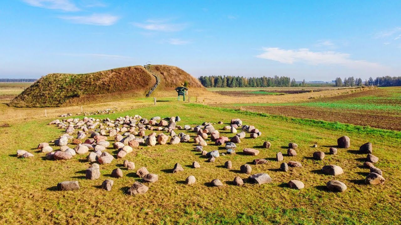
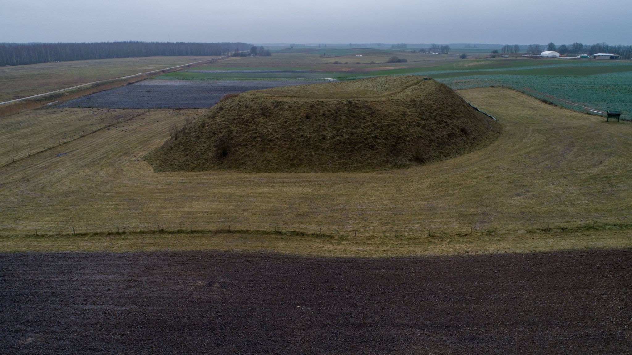
Varnupių piliakalnis is a hillfort and foot settlement in Lithuania, located in Varnupiai in the southeastern part of Marijampolė Municipality. A hillfort is a fortified settlement or defensive site established on raised ground and strengthened with earthworks. The complex dates from the end of the 1st millennium BC to the 13th century.
Settlement and Medieval Traditions
The hillfort and its settlement developed over a long period of occupation. The site’s later history became associated with local traditions about conflict with the Teutonic Order, a medieval Catholic military order that conducted crusading and territorial campaigns in the eastern Baltic. According to these traditions, ancient Lithuanians built the mound by carrying earth in their hats while defending themselves against the order. Another story described a cellar in the centre of the summit where inhabitants hid their valuables. The legend encouraged treasure seekers to dig a large pit in the summit area.
Wartime activity also altered the hillfort. Trenches were cut across the summit, and shelters were made in the slopes. These later interventions form part of the site’s physical history, alongside its earlier defensive earthworks and occupation deposits.
Recognition and Archaeological Investigation
Aleksandras Polujanskis, a Polish forester and investigator of the Suduva region, described the hillfort in 1859. The priest and historical writer Jonas Totoraitis wrote about it in 1908, followed by the local-history researcher Juozapas Radziukynas in 1909. In 1935, the State Archaeological Commission gathered information about the site and instructed the landowners Ksavera Bubnys and Juozas Žukauskas to protect it.
Petras Tarasenka surveyed the hillfort in 1954, followed by the History Institute of the Lithuanian Academy of Sciences in 1962 and Zenonas Baubonis in 2006. Vilnius University carried out excavations in 1971 under the direction of Pranas Kulikauskas. The investigations examined part of the summit and a section through the eastern rampart, clarifying the repeated raising and strengthening of the defenses.
The hillfort was declared an archaeological monument of republican significance in 1972. In 1997, the hillfort and foot settlement entered the archaeological-sites list of the Cultural Heritage Register as a cultural-property complex. The Government of Lithuania declared the complex a cultural monument in 1998, and it was recognized as a state-protected monument in 2005.
Remains
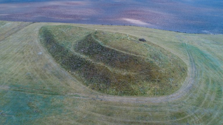
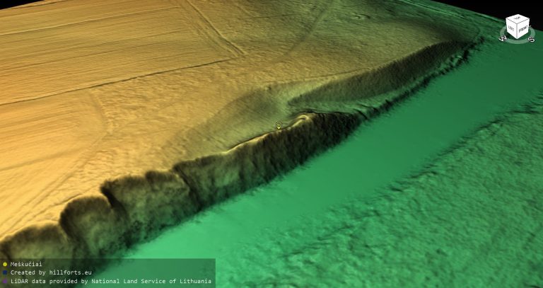
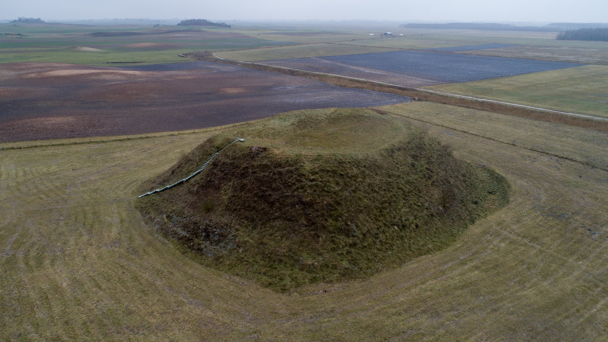
The archaeological complex consists of an isolated hillfort at the southern edge of the Amalvo marshes and a foot settlement on its eastern and southern sides. The monument territory covers 4,000 square metres. Steep slopes rise 7 to 12 metres, while the summit is an elongated oval aligned northwest to southeast. Grassland covers both the hillfort and the settlement, with wartime trenches cutting across the summit.
Hillfort Defenses
Summit and Rampart
The summit measures 25 by 18 metres and is enclosed by an earthen rampart 10 to 18 metres wide. The rampart reaches 2.5 to 3 metres in height on the southeastern side and 0.5 to 1 metre elsewhere. A depression in its northern section is 0.3 metres deep and 5 metres wide. It continues into a 2-metre-wide terrace descending along the northwestern slope, marking the position of the former entrance route.
At the base of the hillfort, a ditch 0.2 metres deep and 3 metres wide is followed by an outer rampart 0.4 metres high and 4 metres wide. Excavated evidence shows that the summit was raised at least three times with metre-thick clay layers. Pine logs laid in different directions strengthened the clay, while the rampart was raised during the final period of use with sand and gravel reinforced by timber and stones.
Summit Occupation Layer
The summit contains a cultural layer, the accumulated deposit formed by human occupation, between 0.6 and 4.8 metres thick. It includes hearths, postholes left by upright wooden posts, rough-surfaced and wheel-thrown pottery, slag, and two flint flakes. These remains represent activities carried out during the hillfort’s successive periods of use.
Foot Settlement and Nearby Feature
Foot Settlement
The foot settlement occupies 0.1 hectares on the eastern and southern sides of the hillfort. Its position below the defended summit reflects the role of a foot settlement as an inhabited area beside or beneath a hillfort. Surveying recovered an iron bloom, a spongy lump of iron produced during smelting, together with burnt stones and clay daub associated with wattle-and-daub construction.
Patkavinis Stone
A mythological stone known as Patkavinis stands 110 metres southwest of the boundary of the hillfort-and-settlement territory.