The Heel Stone: A Standing Stone at Stonehenge
Site at a Glance
- Popularity
- High
- Country
- United Kingdom
- Primary era
- Stone Age
- Eras represented
- Stone Age
- Civilizations
- Unclassified
- Site type
- Civic
- Remains
- Megalithic Monument
On this page9 sections
History
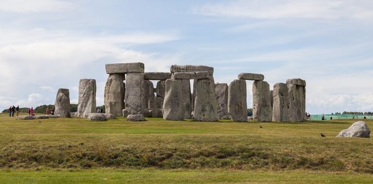
The Heel Stone is a standing stone at Stonehenge in Salisbury, United Kingdom. Stonehenge developed in stages from the third millennium BCE, but the Heel Stone’s date of erection is unknown. It may have been raised as a separate natural block of sarsen, a hard sandstone cemented with silica, during the Neolithic, the later part of the Stone Age before metalworking became widespread, perhaps around 3000 BCE.
Possible prehistoric date
The stone cannot be dated directly by radiocarbon analysis, which estimates the age of once-living material. Its proposed date is inferred from its position, nearby archaeological evidence, its relationship to the Avenue, and comparison with Stonehenge’s other building phases. The Avenue is a ceremonial route marked by parallel banks and ditches.
Solar alignments and possible purpose
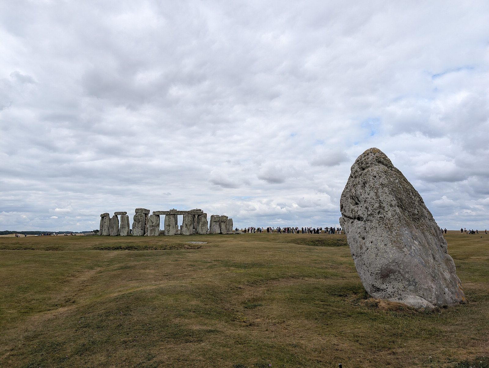
The Heel Stone is associated with Stonehenge’s solstitial alignments. At the summer solstice, the year’s longest daylight period in the Northern Hemisphere, the Sun rises behind the stone on the northeastern horizon, and its first rays enter the monument. At the winter solstice, the shortest daylight period, the Sun sets southwest of the stone circle. The importance of the winter solstice to prehistoric people is uncertain and may have matched or exceeded that of the summer solstice.
The stone’s purpose and meaning are also unclear. It may have marked a threshold or direction, or served as a place from which to observe a ritual. These remain possible interpretations rather than established explanations.
Name, folklore, and heritage
The origin of the name “Heel Stone” is uncertain. Suggested explanations relate it to the stone’s shape, folk tradition, or later changes in language. A legend behind the alternative name “Friar’s Heel” says that the Devil brought Stonehenge’s stones from Ireland after buying them from a woman. When a monk heard him boast that no one would know how they arrived, the Devil threw a stone that struck the monk’s heel. This is folklore, not an account of Stonehenge’s construction, and reflects later attempts to explain prehistoric monuments through religious and marvellous stories.
The Heel Stone lies within the wider Stonehenge, Avebury and Associated Sites property, which UNESCO, the United Nations Educational, Scientific and Cultural Organization, recognizes as a World Heritage site. The property’s monuments are valued for their creative and technological achievements and their relationship with the surrounding landscape.
Remains
The entrance area is arranged around a solitary standing stone and associated ground features within the northeastern approach to the main circle. This approach forms part of a larger route that extends toward the River Avon.
Stone and entrance area
Heel Stone
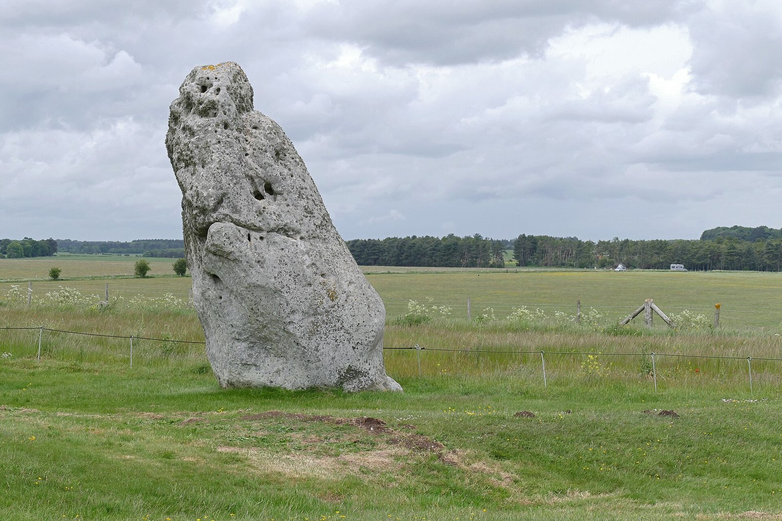
The Heel Stone is a rough, unworked, asymmetrical block outside the main circle, northeast of it and near the northeastern entrance. It stands about 24 metres from the entrance and 77.4 metres from the circle’s centre. The stone rises approximately 4.7 metres above ground, tapering toward its top; its minimum thickness is about 2.4 metres, and excavation indicates that a further 1.2 metres is buried. Its circumference is about 7.6 metres and its weight about 35 tonnes. It leans southwest at nearly 27 degrees from vertical.
Heelstone Ditch and stonehole
A small circular ditch, known as the Heelstone Ditch, surrounds the stone. The order in which the ditch and stone were made is uncertain: the stone may have been erected first, or the ditch may belong to a later plan for the entrance area. It may have set the stone apart or defined a ritual space. A large stonehole lies to the stone’s left and may have held a companion stone. If so, the pair could have framed the summer-solstice sunrise, though this interpretation remains uncertain.
The Avenue and wider landscape
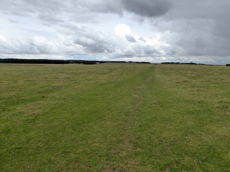
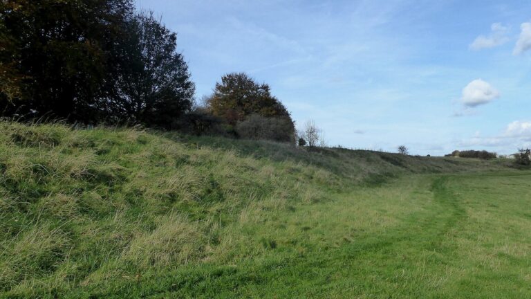
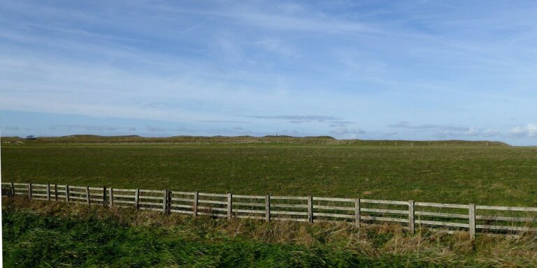
The late-Neolithic Avenue connects Stonehenge with the River Avon. Its parallel banks and ditches mark a final straight section near the monument that follows a northeast–southwest solar axis. The Heel Stone stands within this route. The broader landscape includes the stone circle, the river, burial mounds, and nearby ritual sites, linking the monument with routes of movement and views of sunrise and sunset.