Durrington Walls: A Neolithic Henge and Settlement in England
Site at a Glance
- Popularity
- Very High
- Country
- United Kingdom
- Primary era
- Stone Age
- Eras represented
- Stone Age, Bronze Age, Iron Age
- Civilizations
- Unclassified
- Site type
- Religious
- Remains
- Sanctuary
On this page10 sections
History
Durrington Walls is a Neolithic henge, a prehistoric enclosure with an outer bank and inner ditch, and settlement near Amesbury in Wiltshire, United Kingdom. Farming communities of the later Stone Age built a major timber circle here around 2600 BC; most of the structures belong to the Late Neolithic or Early Bronze Age, the period following the Neolithic. The settlement lasted about 500 years and may briefly have been northern Europe’s largest.
Settlement and enclosure
The settlement’s beginnings fall within a broad period between about 2800 and 2100 BC. A village probably developed around the time the timber circle and its avenue were made. House floors beneath the later bank show that people lived here before the henge was enclosed, and its construction covered houses and refuse pits. The henge followed the timber circle, while two more rings may have been added roughly two centuries after the circle was built. Another large timber circle and henge were constructed at Woodhenge, immediately south, at about the same time.
The bank appears to have been raised in a single operation, although different groups may have dug sections of the ditch. Estimates suggest that between 4,000 and 6,000 people took part in the work. Around 2450 BC, the enclosure’s bank and ditch followed the line of an earlier timber palisade, or fence made from upright posts. The posts seem to have been carefully removed after about 50 years. The reason is unknown; proposed explanations include changes in belief, leadership, population, or fashion. The orderly removal and reuse of the palisade’s line suggest a managed transition.
Later use
The date when activity at Durrington Walls first ended is unknown. The site was occupied again during the Iron Age, a later prehistoric period, when people established a settlement and fields within the enclosure. A large drainage ditch near the northeastern entrance may have served those fields.
Investigation and interpretation
In 1810, antiquarian Richard Colt Hoare recorded the monument and noted the effects of centuries of agriculture. In 1966, archaeologist Geoffrey Wainwright excavated along the route of the new A345 and uncovered the Southern Circle and a smaller timber circle to its north. Excavations continued in 1966–67. The Stonehenge Riverside Project, a research project focused on the Stonehenge landscape, has excavated at Durrington Walls annually since 2003. University of Sheffield work from 2004 to 2006 and surveys from 2010 to 2014 further revealed the extent of the settlement and evidence for a timber-built henge.
A 2020 survey found pits in two groups, prompting the idea that they belonged to a vast circuit around the monument. In 2021, a team led by Vincent Gaffney concluded that people had made the pits, although natural hollows in the area may sometimes have been modified. Optically stimulated luminescence tests, which estimate when mineral grains last saw daylight, indicated that soil in the pits had been buried since about 2400 BC. Their use appears to have extended from the Late Neolithic to the Middle Bronze Age. Gaffney described the proposed structure as the largest prehistoric structure found in Britain.
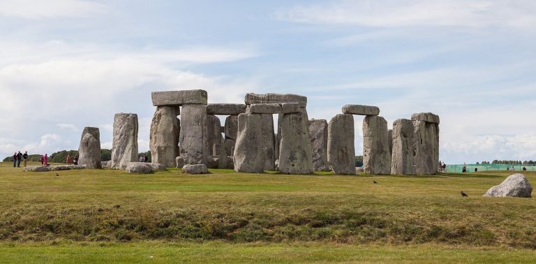
Radiocarbon dating, which estimates age from decay in organic material, places activity at Durrington Walls around 2600 BC, roughly the time of Stonehenge’s earliest stone phase. The people who built Stonehenge may have lived here. Archaeologist Mike Parker Pearson has proposed that the monuments expressed complementary ideas: Durrington’s timber circle represented life and the living, while Stonehenge and the surrounding burial landscape represented the dead. In this interpretation, the River Avon and the two avenues connected the sites, and a ceremonial journey between them marked a passage from life to death.
Geoff Wainwright and Timothy Darvill disputed this interpretation. They instead viewed Stonehenge as a healing monument associated with its Welsh bluestones and considered a close connection between the monuments unlikely. Their argument included the claim that graves at Stonehenge predated its stone phase, a point that did not apply to the Bronze Age barrow burials also discussed in relation to the landscape. Pig bones from Durrington Walls have been interpreted as evidence that the animals came from many parts of Britain, though other views place their origins in a more limited area.
Durrington Walls takes its name from the parish and its henge banks. The parish name has been interpreted as meaning “farm of the deer people.” The site lies within the Stonehenge World Heritage Site, an internationally recognized heritage area designated in 1986, and has been a scheduled monument, a legally protected archaeological site in England, since 1929.
Remains
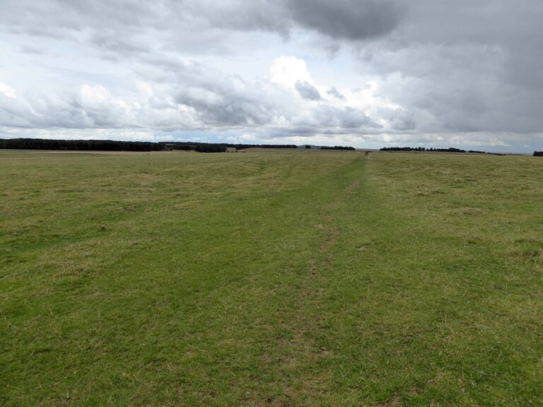
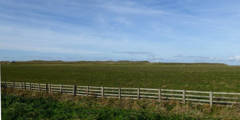
The site combines a broad earthwork enclosure with timber monuments, settlement remains, and a paved avenue leading toward the River Avon. It occupies high ground that slopes southeast toward a bend in the river, with the northwestern side considerably higher than the southeastern edge.
Enclosure and earthworks
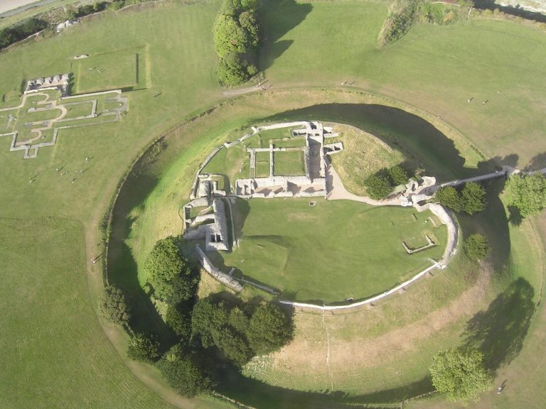
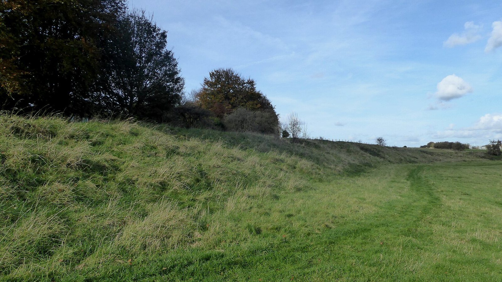
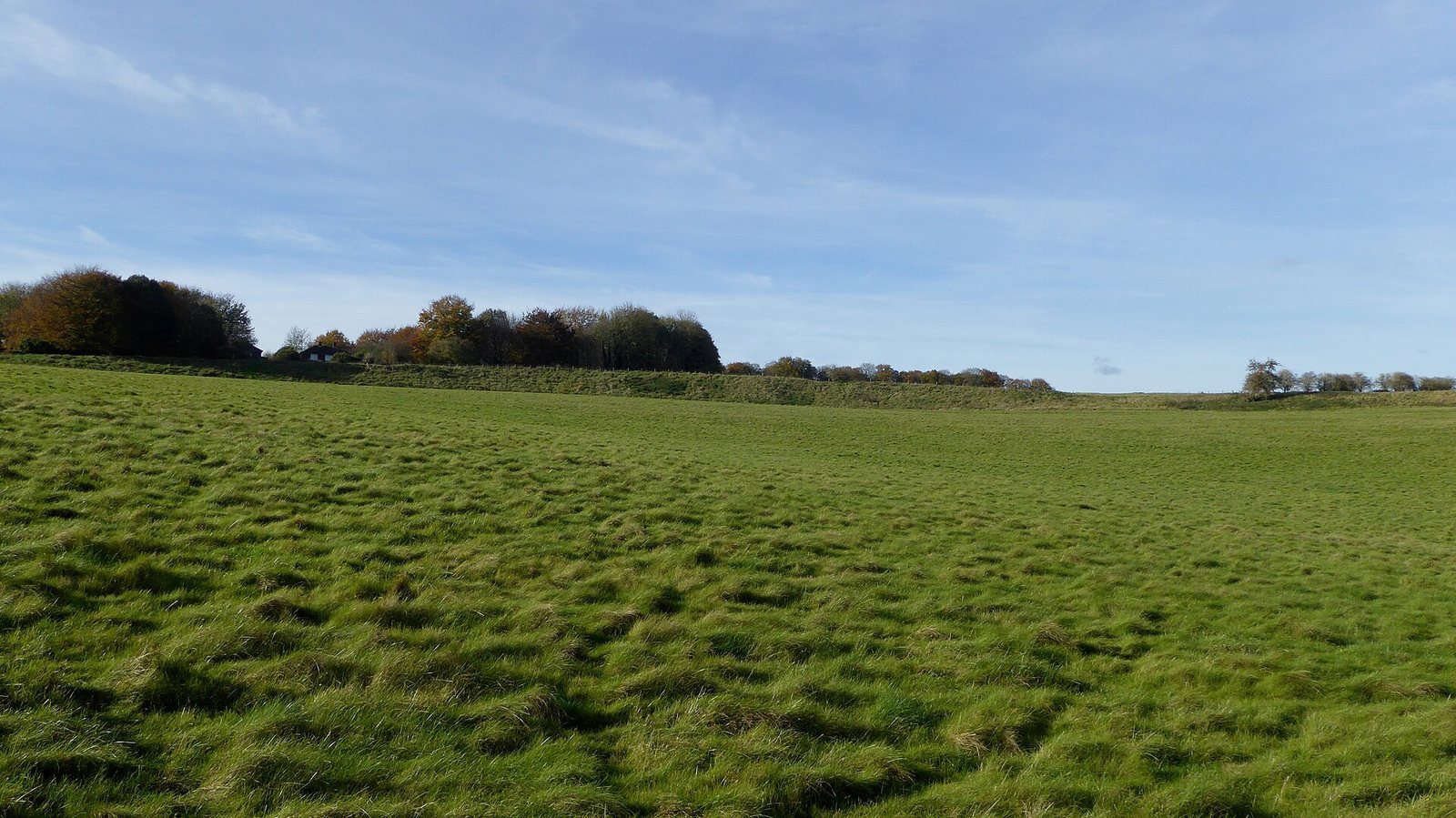
The enclosure is about 500 metres across. Its surviving “walls” are eroded slopes of the bank and the internal ditch, now forming a ridge around a central basin. The bank and ditch are clearer on the eastern side, although ploughing has worn them down. The ditch was originally about 5.5 metres deep, 7 metres wide at its base, and 18 metres across at the top; the bank reached about 30 metres in width in places. Two entrances crossed the earthworks at the northwest and southeast, with the southeastern entrance about 60 metres from the riverbank. Entrances to the south and northeast may also have existed and may have been deliberately blocked. The enclosure is described as the United Kingdom’s second-largest known Late Neolithic palisaded enclosure, after Hindwell in Wales. An old toll road and a banked road built in 1967 now pass through the earthworks. Houses occupy the western bank, and barracks formerly stood at the northeastern end.
Timber circles and avenue
The Southern Circle had four rings of postholes arranged one inside another, which held exceptionally large standing timbers. Its alignment points southeast toward sunrise at the winter solstice. A paved avenue followed a slightly different alignment toward the River Avon and pointed toward sunset at the summer solstice. A large timber post stood on the avenue’s line, at roughly the same distance from the circle as the Heelstone, a standing stone outside Stonehenge’s main circle, is from Stonehenge. Several other timber circles and smaller enclosures occupied the interior, although not all have been excavated.
Palisade footprint
A circle of enormous postholes beneath the bank, filled with chalk rubble, marks the earlier timber palisade. The holes are interpreted as having held about 300 trunks, each approximately 1.5 metres in diameter and 7 metres high, along the line of the present outer bank. The ditch associated with the converted enclosure was about 5 metres deep. The palisade timber may have been reused in the Southern Circle, although this remains uncertain.
Settlement and smaller enclosures
House floors occur beside and beneath the eastern bank, and evidence points to further houses eastward along the Avon and north of the site. One excavated house had a cob wall, made from earth mixed with water and fibrous material, and an ancillary building; its layout has been compared with a house at Skara Brae in Orkney. Other houses appear to have had walls made from woven branches coated with clay. The village may have surrounded an open circular area containing the Southern Circle and smaller enclosures. On a terrace about 200 metres west of the circle, a survey identified at least six interrupted ring-shaped structures. Excavation revealed two houses inside timber fences and ditches. Their clean, finds-poor condition has led to suggestions that they were elite homes or served as shrines, ritual houses, or spirit lodges.
Outer pit circuit
The proposed outer circuit consists of 20 pits in two groups, surrounding Durrington Walls in a circle about 1.9 kilometres in diameter. Some are estimated to exceed 10 metres across and 5 metres deep. Investigations indicate that people cut the pits, while some may have begun as natural hollows that were later altered. Slow silt accumulation in some suggests they remained open after being dug, and examination of the fills shows that pits formed in different ways over time.