Willtown Bluff: Site of a Planned Colonial Town in South Carolina
Site at a Glance
- Popularity
- Low
- Country
- United States
- Primary era
- Modern
- Eras represented
- Early Modern, Modern
- Civilizations
- British, English
- Site type
- City
On this page8 sections
History
Foundation and colonial prosperity
Willtown Bluff is the site of Willtown, a planned British colonial town on the east bank of the South Edisto River in South Carolina, United States. Planned around the turn of the eighteenth century, it was the colony’s second planned town after Charleston’s relocation in 1682, and its first lots were granted in 1697. The settlement, also called New London and later Wilton or Willton, was named for William III, king of England, Scotland, and Ireland from 1689 to 1702. Its aims included strengthening colonial defense, establishing a community of religious dissenters (people who separated from or disagreed with an established church), and expanding trade with Indigenous groups.
Willtown later served as a local government center, with courts and a polling place, as well as a regional commercial center. During the Yamasee War in 1715, a conflict in which Indigenous groups fought South Carolina’s British colonial government and its allies, the town was devastated. Its defenders nevertheless held the settlement behind an improvised fortification. Willtown subsequently prospered, reaching its peak in the early eighteenth century. By the 1720s it had a courthouse, school, church, and other buildings, while rice cultivation brought wealth.
Plantations and changing congregations
Farming the fertile land in plantations proved more profitable than keeping the town plots, while proximity to Charleston limited Willtown’s prospects for trade and its location made defense difficult. Landowners combined lots into plantations, where enslaved people cultivated rice and indigo. In 1760, William Elliot received 24 lots in the town center, and his heirs shaped the place’s subsequent history.
The Presbyterian congregation established in the early eighteenth century abandoned its church at Willtown Bluff around 1750. A replacement was built among the plantations and dedicated in 1767 on Parkers Ferry Road, about three miles away. It probably burned in 1807, after which the abandoned church at Willtown Bluff was renovated. In 1819–20, the congregation built another church near Adams Run, later known as Burnt Church. Its last pastor probably left before 1866.
Christ Church, an Anglican congregation in a tradition originating in the Church of England, was founded in 1834 and built a church on the ruins of the earlier Presbyterian church at Willtown Bluff. About fifty years later, the congregation dismantled that church and rebuilt it in Adams Run. After slavery ended, commercial rice cultivation was no longer economically viable, and hurricanes around the turn of the twentieth century destroyed many rice fields. Willtown Bluff was added to the National Register of Historic Places, the United States’ federal list of places recognized for historical significance, in 1974.
Remains
Townsite and surviving structures
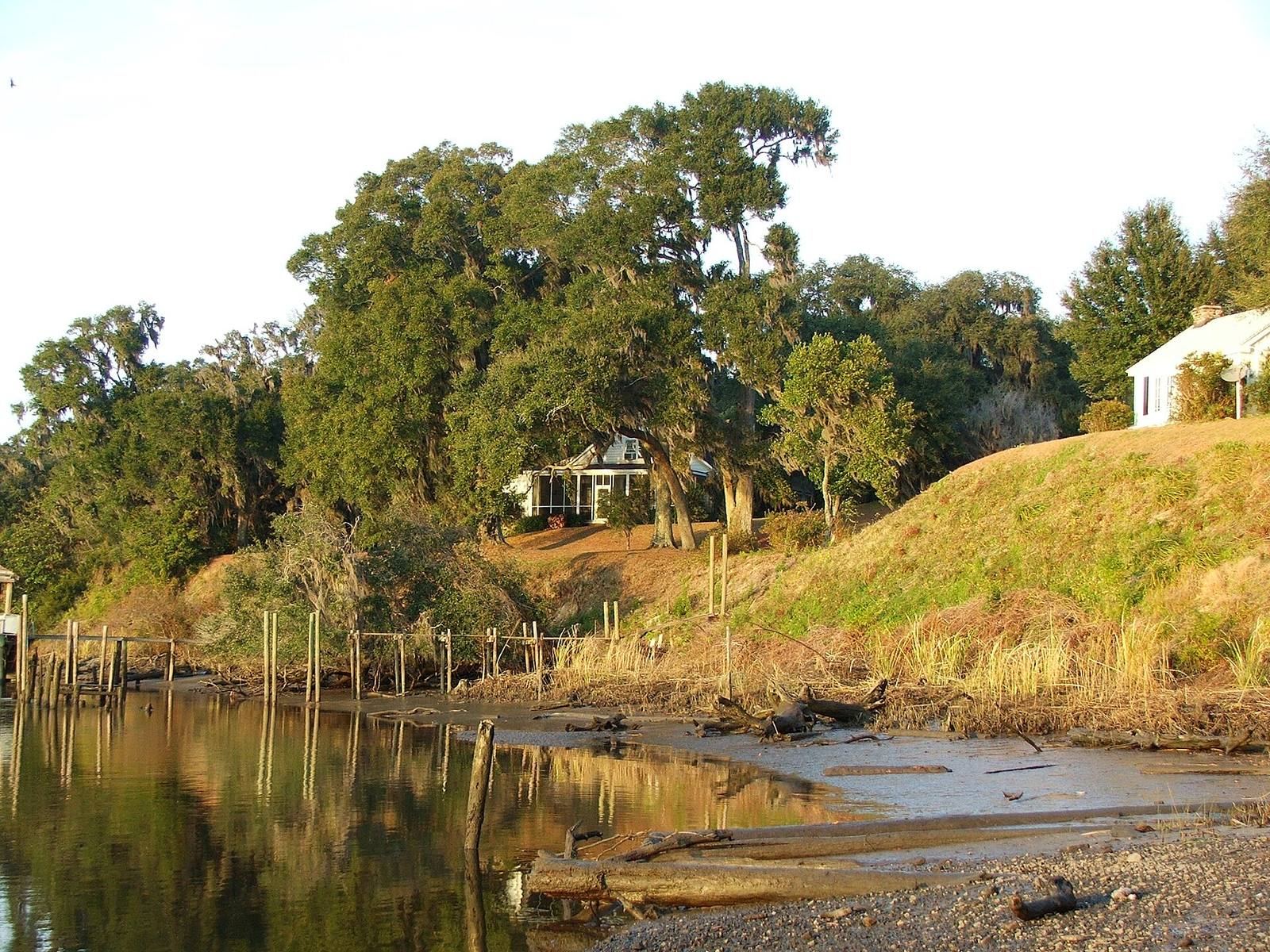
The site occupies a bluff about seven metres high on the South Edisto River’s east bank, roughly 20 kilometres from the Atlantic in South Carolina’s Lowcountry, the state’s low-lying coastal region. It covers 127.3 acres (51.5 hectares) and is now a nearly level grassy area with old oak trees. Buried remains are thought to represent a colonial village of about 80 houses. Three features from the early nineteenth century are identified at the site.
Willtown Plantation House
The Willtown Plantation House was built around 1820 and is one of the early nineteenth-century structures identified within the site.
Parsonage
A parsonage, a residence provided for a member of the clergy, dates to 1836 and is another identified feature.
Episcopal church column
A single column from the Episcopal Church, the U.S. branch of Anglicanism, also dates to about 1836.