Dolmen du Creux: A Neolithic Megalithic Monument in Normandy
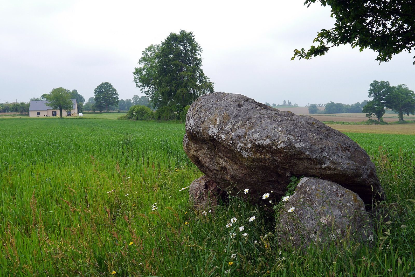
Site at a Glance
- Popularity
- Very Low
- Country
- France
- Primary era
- Stone Age
- Eras represented
- Stone Age
- Civilizations
- Unclassified
- Site type
- Burial
- Remains
- Tomb
On this page6 sections
History
The Dolmen du Creux is a Neolithic monument at Saint-Bômer-les-Forges in Normandy, France. The Neolithic was the later part of the Stone Age, when farming communities built megalithic monuments, and a dolmen is a prehistoric structure made from large stones.
Around 1895, parts of the monument were dismantled to recover the stones and clear the land for ploughing. It was first recorded in 1908, and Gabriel Hubert excavated it in 1909. In fewer than two decades, the monument had lost about two-thirds of its area.
During the 1909 excavation, laborers broke pottery because they believed it might contain treasure. Much of the recovered archaeological material was later destroyed in a railway accident before it could be studied. The plot was locally known as the Treasure Field.
On 27 November 1975, the dolmen received classification as a Monument historique, France’s statutory heritage-protection designation.
Remains
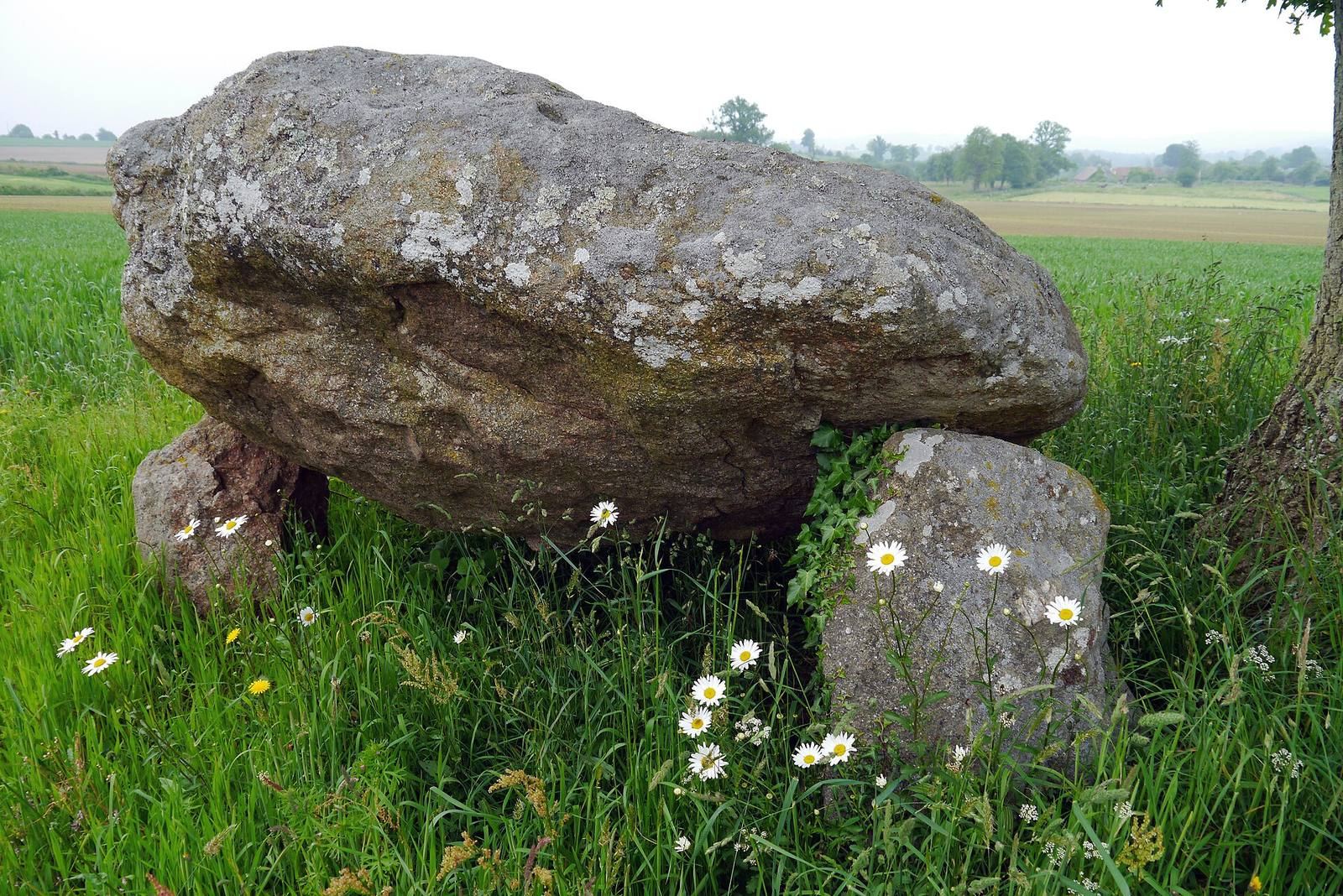
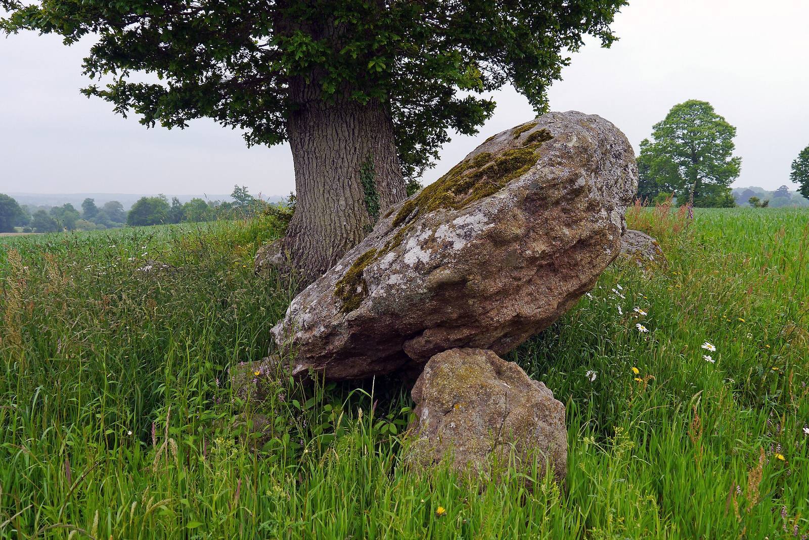
The surviving remains belong to an east–west stone monument, with side supports, covering slabs, an eastern passage, and a separate stone cist to the south. Several slabs have been moved, making the original arrangement difficult to discern.
Mound and overall plan
The original mound is estimated to have measured about 12 m across and 1.5–2 m high. Marcel Baudouin described it as loose stones contained by a wall around its edge. The dolmen measured about 10 m long in 1909 and was aligned east–west.
Supports and covering slabs
Four supports remain on the north side and three on the south. Their inner faces, turned toward the chamber, were flattened. One coarse-grained granite covering slab remains in place; it measures 2.80 m long and 1.80–2 m wide. A second granite slab, 2.20 m long and 1.90 m wide, lies on the ground. In the early twentieth century, Léon Coutil identified five more slabs to the north and three to the south.
Eastern passage
At the eastern end, four pillars in two parallel rows define a passage about 1.5 m long and 0.75 m wide, running roughly east–west. Farther west, the space between the side supports widens to as much as 2 m beneath the covering slab. The four eastern pillars were buried to the east after excavation. Before the monument’s dismantling, a slab with a circular opening about 0.30 m across closed the eastern end. The arrangement resembles a corridor dolmen, a stone monument whose chamber is reached through a passage. The perforated closure recalls covered passage tombs associated with the Seine-Oise-Marne culture, an archaeological culture of prehistoric communities in parts of northern France.
Stone cist
A roughly rectangular stone cist, a small box-like stone chamber, lies about 1.25 m south of the dolmen’s entrance. It measures 2.20 m long, 0.86 m wide, and 1 m high. A large granite slab now on the mound’s surface may have served as its original cover.