Gintarai Hillfort: An Early Stronghold and Later Manor Site
Site at a Glance
- Popularity
- Very Low
- Country
- Lithuania
- Primary era
- Classical
- Eras represented
- Classical, Medieval, Early Modern
- Civilizations
- Unclassified
- Site type
- Military
- Remains
- Fort
On this page13 sections
History
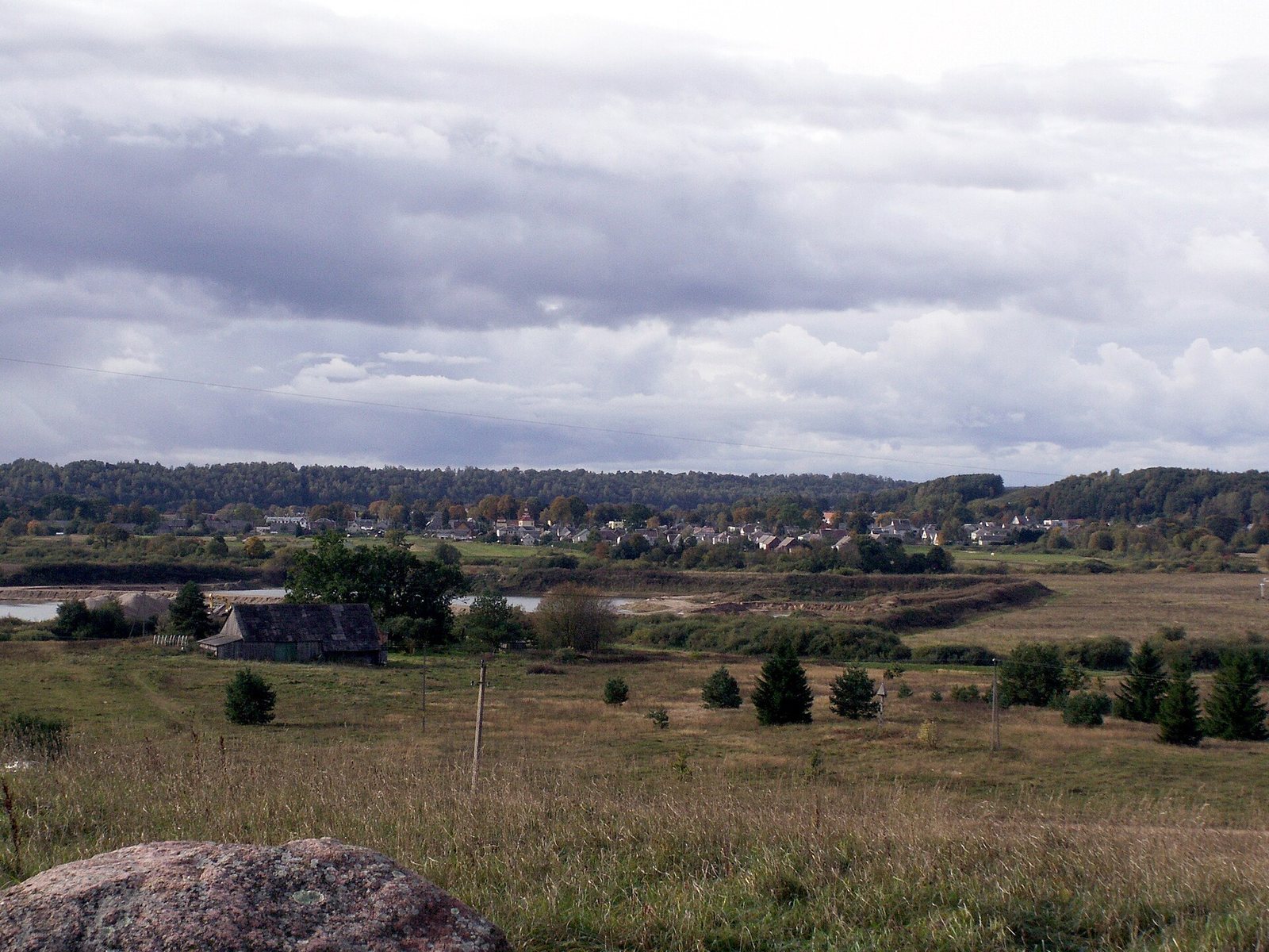
Gintarai Hillfort, a fortified settlement on elevated ground later adapted as a manor site, lies in Gintarai village, Lithuania, on the left bank of the Minija River. Established at the beginning of the first millennium, it was later reused for the first Kartena manor.
First-millennium hillfort
The settlement stood on a promontory above the river. During the Viking Age, a period associated with Norse seafaring, raiding, and settlement, its gentle slopes are thought to have made it easier to attack. The community abandoned the hillfort in the second half of the first millennium and moved to the northern end of the upland, where it established another stronghold in a more defensible position.
Kartena manor and local traditions
The first Kartena manor estate was built on the old hillfort in the sixteenth century. Builders spread out the inner defensive bank, placed the manor house on it, and reused some of its stones to pave the courtyard. The estate is believed to have been destroyed during a Swedish attack in 1655 to 1656. A replacement manor was then established closer to Kartena town.
A Calvinist church, belonging to a Protestant tradition shaped by the Reformation theologian John Calvin, is said to have stood on a terrace at the northwestern foot of Cherry Hill; it is mentioned in 1611. Local tales connect the hill with the manor’s destruction. One describes the lord’s daughter being buried alive when the burning palace collapsed over a treasure cellar where she had taken shelter. According to the story, she could be released only once every 300 years, and an ill man who dreamed of her failed to meet her demands in exchange for restored health. Another tale credits the manor lord’s cherry orchard, said to have survived the fire, with giving Cherry Hill its name.
Other traditions say that a church on the hill burned or sank into the ground during the Swedish invasion, and that stone cellars and pits were later filled in. Stories also tell of ghosts frightening people who passed the hill at night. A separate tale places Napoleon Bonaparte’s retreating army on the hill in 1812, when the French emperor’s campaign in Russia ended in retreat.
Investigation and protection
Local historian Juozas Mickevičius identified the hillfort and manor site as a cultural heritage object in 1959. Archaeologist Ignas Jablonskis surveyed it in 1967, then investigated it in 1977 and 1987, cutting through both defensive banks and excavating 60 square metres of the platform. A 1992 survey led by Vilnius Morkūnas established the site and protection-zone boundaries. Julius Kanarskas excavated 98 square metres at the western foot in 2007.
The site became a local archaeological monument in 1988, entered the archaeological sites register in 1997, and was declared a cultural monument in 1998. It received state protection in 2005 and is classified as a state-protected cultural monument of national significance.
Remains
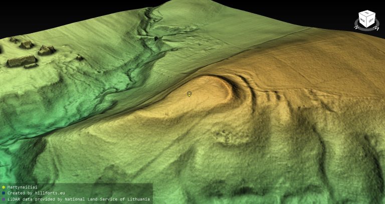
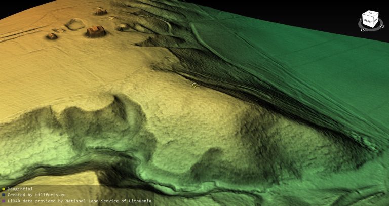
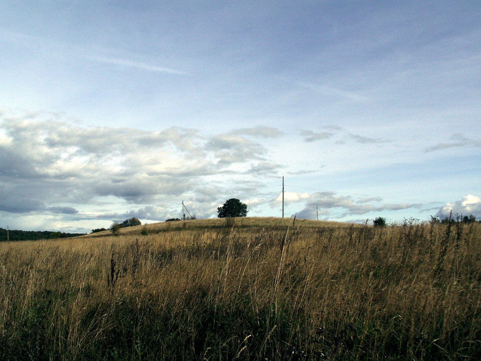
The complex occupies the southern part of a promontory on the upland beside the Minija. Its main enclosure has a triangular platform aligned north to south, while an outwork, a defensive structure beyond the main enclosure, lies to the north. Defensive banks and ditches guard the landward approach; the valley at the river confluence protected the other sides.
Hillfort and defenses
Platform and setting
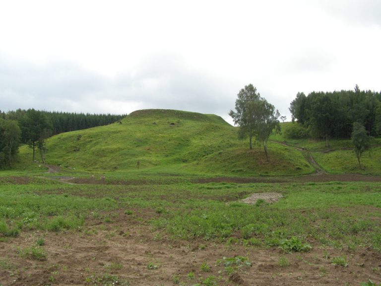
The platform is 60 metres long and up to 50 metres wide. Its sides slope gently and rise as much as 20 metres above the surrounding ground. The foothill settlement lies below, with a burial ground to its west. The platform is now grass-covered, and cultivation and the later manor have heavily disturbed the hillfort, outwork, and settlement.
Northern defenses
A semicircular rampart, or raised defensive bank, runs along the platform’s northern edge. It measures 50 metres long, 0.5 metres high, and 19 metres wide, with traces of a filled ditch behind it. The outwork to the north is about 30 metres wide. A second semicircular bank once defended it from the upland, but ploughing has spread the bank and made its form difficult to distinguish.
The inner bank incorporated stone and earth. A wooden barrier up to 2 metres wide stood along it, supported by large-fieldstone walls: the wall on the outer side was 1.5 to 2 metres thick, while the inner one exceeded 1 metre. A stone pavement 1.5 to 2 metres wide ran along the platform side, and a defensive ditch followed the bank’s outer foot. The outer bank had a fieldstone foundation topped with an earth mound. Investigations also exposed a stone structure within a bank, built with stones up to 50 centimetres across and containing a 2-metre gap, as well as burned material.
Manor and settlement
Manor grounds
The sixteenth-century manor occupied the rampart and platform, where excavations revealed remains of its buildings. Three ponds were made on an unnamed stream around the estate, and a watermill stood near the stream’s meeting point with the Minija. The estate’s construction altered the earlier defenses, and stones from a bank were reused to pave its courtyard.
Manor occupation layer
The archaeological deposit associated with the manor was 30 to 40 centimetres thick. It contained deep and decorated flat stove tiles, ceramic pieces used to build or face stoves, along with pottery fragments, oxidized glass, and bricks. These finds belong to the sixteenth- and seventeenth-century manor occupation.
Foothill settlement layers
At the western foot, excavations revealed deposits 47 to 75 centimetres thick, divided into two layers by 10 to 12 centimetres of accumulated windblown sand. The upper layer had been heavily disturbed by ploughing, although a lower portion 20 to 32 centimetres thick remained. Finds included part of a burned above-ground structure, glass, fired-clay bricks, wheel-thrown household pottery, and fragments of pot-shaped stove tiles. The upper layer belongs to the Old Kartena estate settlement, from the sixteenth century to the mid-seventeenth century.
The lower layer averaged 18 centimetres thick and reached 25 to 26 centimetres in places. It yielded a fragment of a stone smoothing and sharpening tool, a stone-tool blank, and hand-built pottery. This layer, like the hillfort, dates to the first millennium.
Viewing area and marker
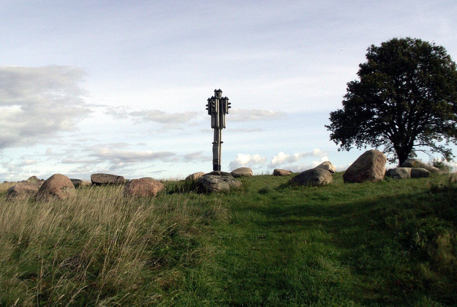
A stone-enclosed viewing area occupies the platform’s northwestern edge beside the inner bank, overlooking the Minija valley. It contains an interpretive marker installed in 2001 by the Salantai Regional Park Directorate and designed by Arvydas Klovas, together with an associated memorial plaque.