Wurzstein Castle Ruins: A Medieval Noble Castle Site in Germany
Site at a Glance
- Rating
- 3.8
- Popularity
- Very Low
- Country
- Germany
- Primary era
- Medieval
- Eras represented
- Medieval
- Civilizations
- Holy Roman Empire
- Site type
- Military
- Remains
- Castle
On this page10 sections
History
Wurzstein Castle Ruins are the remains of a noble castle near Warmensteinach, Germany. The castle was probably established in the 11th century and is generally assigned to the High or Late Middle Ages, though its history remains uncertain.
Early references and possible roles
The earliest possible reference comes from 1069, when Henry IV, then German king and Holy Roman Emperor, granted the estate of Wrzaha, understood as Wurzbach, to Hermann I, the bishop of Bamberg, and his church. The estate may have included both the now-deserted village of Wurzbach and the castle.
Wurzstein may have protected nearby mines worked for iron and silver, and possibly gold. The mines had names translated as God’s Help, Troubled Fortune, Wild Wolves, Golden Goose, and Heavenly Host. The castle may also have guarded a boundary between the church territories of Bamberg and Regensburg.
Later ownership and uncertain fate
The castle later came under the Burgraves of Nuremberg, territorial rulers who granted rights to it to the lords of Weidenberg, Künsberg, and Lindenfels in return for obligations. An entry from 1679 calls it the “Old Castle at Wurzbach.” In 1692, Johann Will, a pastor from Creußen, found only the ruins of Wurzstein Castle.
Older writing sometimes confused Wurzstein with Burg Gurtstein, probably a separate castle on Schlosshügel near Sophienthal. Wurzstein was also called Pfeiferschloss, a name that may reflect a connection with the nearby Pfeiferhaus. Whether the castle was destroyed in warfare or abandoned after losing importance is unknown.
Maps and investigation
In 1816, cartographer Johann Christoph Stierlein made a detailed map of the castle area, recording the remains visible at the time. The site has never been excavated archaeologically.
Remains
Setting and defenses
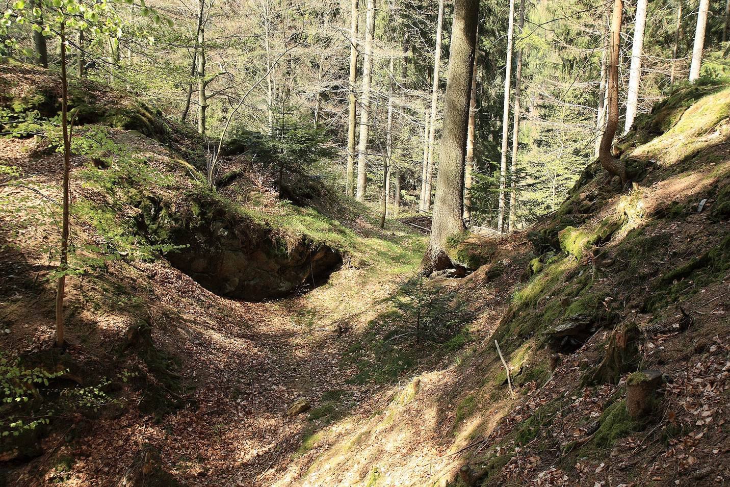
The castle occupied a rocky rise at the end of a southwest-pointing spur of Schanzberg, about 540 metres above sea level in the southern Fichtelgebirge. Near Zainhammer, the site lies between the Warmen Steinach valley to the west and the Wurzbach valley to the east. The spur’s southeast side falls about 20 metres toward Wurzbach, while its southern and northwestern slopes descend steeply toward the two valleys. On the northeast, a defensive ditch cut across the narrow approach, then bent east and continued down toward Wurzbach. On the west, it turned before meeting the protected enclosure along the core castle’s western side. Flatter ground beyond the ditch, where the spur rises again, may have held an outer bailey, an outer part of the castle enclosure used for supporting functions.
Core castle
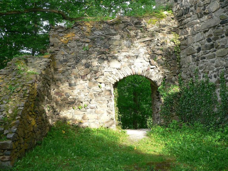
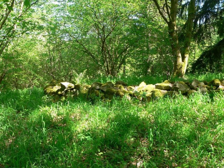
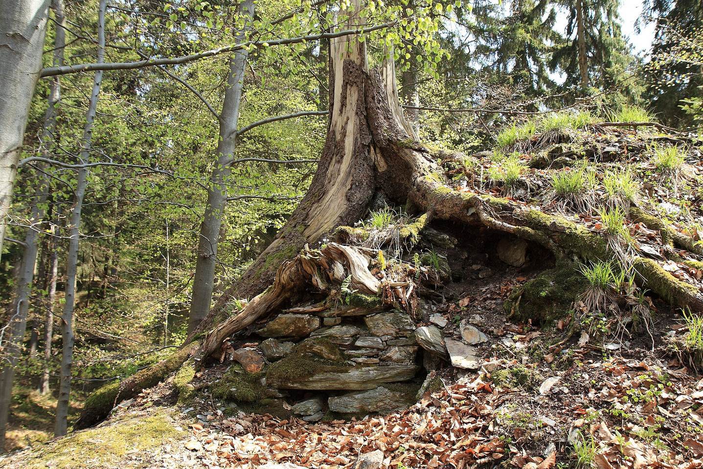
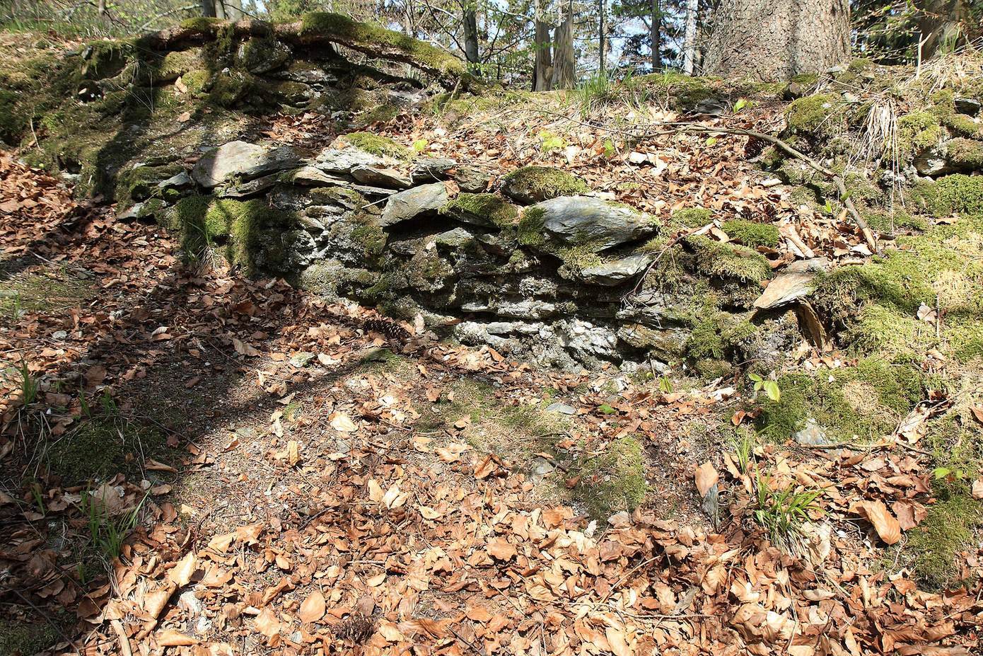
The main castle was an irregular oval enclosed by a wall and built of phyllite rubble, using irregular stones rather than regularly cut blocks. Only a few wall remains survive. A 1985 inspection by the Bavarian State Office for Monument Preservation found late-medieval and early-modern pottery, two fragments of a bronze fitting, and pieces of iron.
Defensive tower and hall
A principal defensive tower probably stood at the tip of the spur, where only its foundations remain. A hollow beside it may mark the site of the great hall. Several masonry remnants at the castle’s highest point may belong to a separate tower-like building.
Western enclosure
The protected enclosure along the core castle’s western side may also have served as a courtyard. A cistern was probably located within it.
Pfeiferhaus
The nearby Pfeiferhaus may have had vaulted cellars and massive walls. It may have been a fortified farm linked to Wurzstein; its name comes from the neighboring forest division called Pfeifer.