Burgstall Schlosshügel: A Medieval Hilltop Castle Site in Germany
Site at a Glance
- Rating
- 4
- Popularity
- Very Low
- Country
- Germany
- Primary era
- Medieval
- Eras represented
- Medieval
- Civilizations
- Holy Roman Empire
- Site type
- Military
- Remains
- Castle
On this page13 sections
History
Origins and strategic role
Burgstall Schlosshügel is a ruined hilltop castle site near Weidenberg in Germany, probably established during the 11th century. A tower mound was later enlarged into a circular enclosure formed by an earth rampart and ditch. Local historian Joachim Kröll associated the remains with the Romanesque period, a medieval European era and architectural style. Comparing the site with other tower mounds, he proposed that it could date no later than the early 11th century.
The tower stood on high ground, where it could watch the surrounding area and maintain sightlines to beacon hills in the Weidenberg Valley, the upper Steinach Valley and the northern Upper Palatinate. Historic roads shaped the site’s strategic setting. During the late 8th and 9th centuries, a route along the Bocksleite ridge opposite the hill connected Bamberg and the Upper Main region with the Egerland. Other roads crossed the area north to south into the Fichtel Mountains and east to west toward Eger. The castle later guarded these routes and served as a base for military escorts. It may also have functioned as a border fortification between Franconia and Bavaria, while additional ramparts provided space to quarter troops.
Administration and ironworking
The castle may have served as an administrative center for royal forests and medieval iron production in the Steinach Valley. That administrative role later moved to Weidenberg. Charcoal for ironmaking was produced in the Fichtel Mountains, a bloomery, or furnace for extracting iron from ore, stood near present-day Sophienthal, and hammer mills along the Warme Steinach worked the metal. The castle may correspond to a fortress named Gurtstein with its woods in deeds of enfeoffment dating from 1412 onward.
Investigation and surveys
Johann Christoph Stierlein, a cartographer who mapped ruins, drew the first plan of the site in 1791; it is now held by the Bavarian State Library in Munich. Erich von Guttenberg made a location sketch in 1921, followed by another from Kröll in 1966. In 1989, heritage surveyor Hermann Kerscher measured the site and compared his results with Stierlein’s plan.
Remains
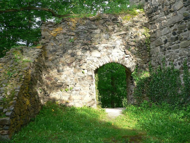
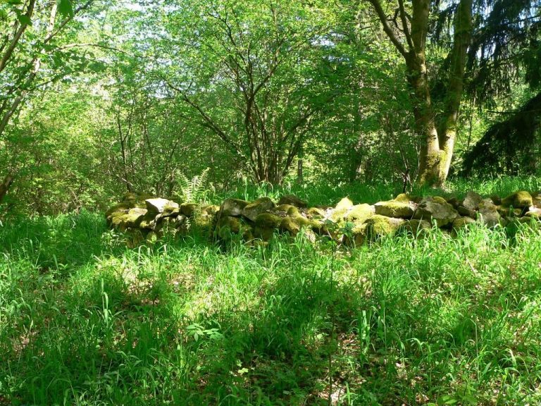
The earthworks occupy a wooded rise 699 metres above sea level, above Sophienthal on the southern edge of the Fichtel Mountains. The full complex measures 200 by 90 metres and comprises two defensive areas linked by an entrance on the west. The tower stood in the upper, inner area. Woodland now limits views toward the valleys, the northern Upper Palatinate and the Bocksleite ridge.
Earthworks and buildings
Central mound
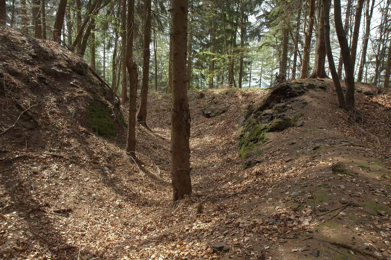
The oval central mound measures 30 by 40 metres. A surrounding rampart, 6 to 10 metres wide, and a ditch enclose it. The mound formed the inner part of the defenses and supported the tower at the highest point of the site.
Outer defenses
On the uphill side, two more lines of ramparts and ditches strengthened the enclosure. The uphill outer area was probably a later addition and may have held further living and service buildings. The earthworks may have been raised with wooden defensive barriers and loose stone between them. Traces at especially vulnerable points may indicate two staggered rows of barriers, though this arrangement is a reconstruction based on the surviving ground features.
Tower and other structures
The tower probably served both residential and defensive purposes. The tower and likely domestic and service buildings in the inner area and northern outer area were made of wood. Wooden barriers may also have protected the enclosure. The surviving earthworks and layout provide evidence for a castle whose buildings were timber-built.
Excavated features and finds
Inner-area pit
A pit in the inner area was investigated during excavations by the Historical Society of Upper Franconia in 1888–89. At a depth of about three metres, excavators reached bedrock. Eight steps cut into the natural, mica-rich rock descend to that level. The pit may mark the tower’s location. Test excavations had also taken place in 1846.
Excavated finds
Finds from the test excavations include pottery fragments decorated with wavy lines, coal, bones and iron remains. The finds are held in the archive of the Historical Society of Upper Franconia.
Water ditch
A surviving water ditch runs from the Kreuzstein area to Neuhaus. Troops at the castle may have received supplies from Neuhaus.